Want more images or videos?
Request additional images or videos from the seller
1 of 8

Delaye
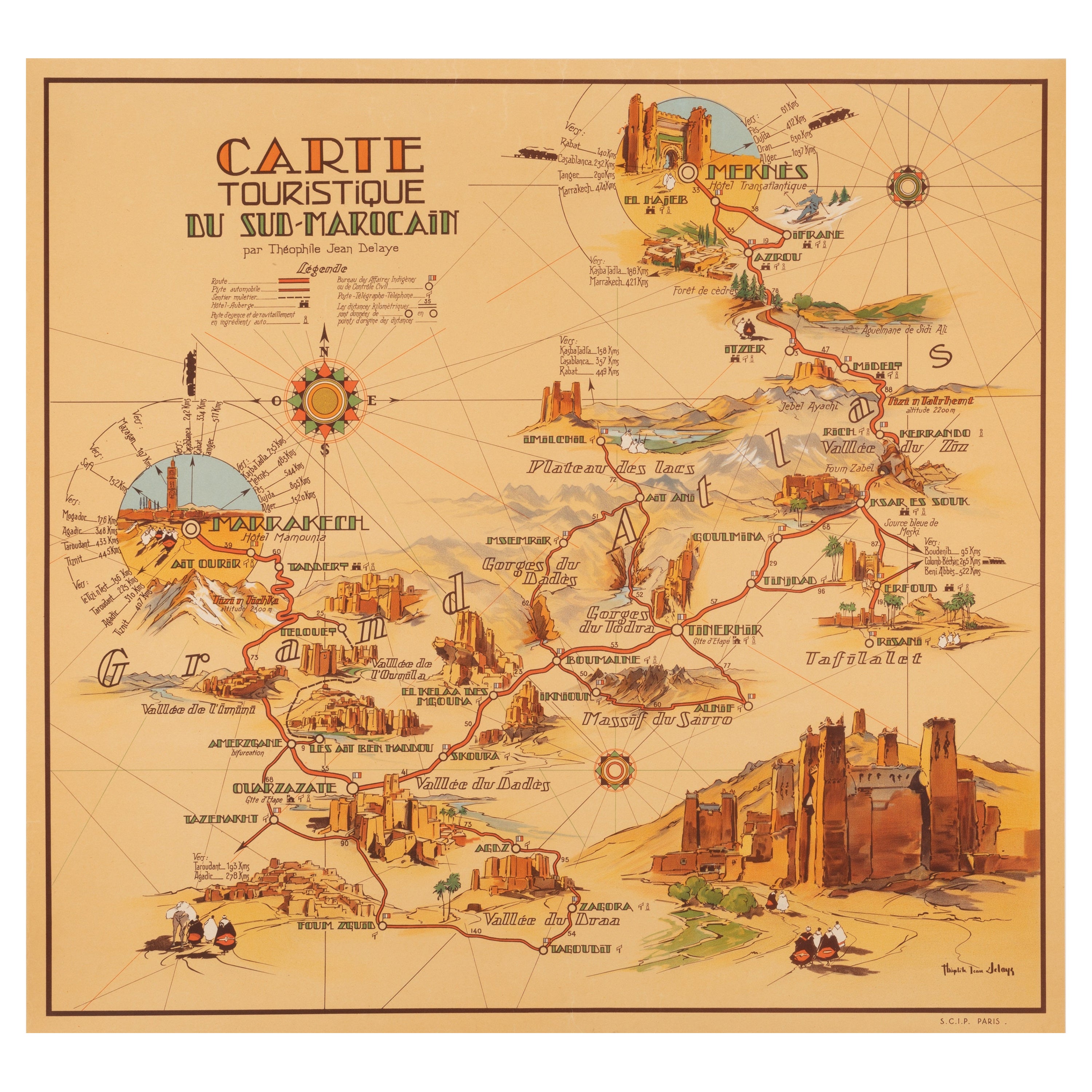
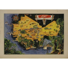
illustrated map of Morocco created in 1950 by Delaye

1950

$1,509.31
£1,133.60
€1,560VAT Included
CA$2,124.67
A$2,164.02
CHF 1,233.17
MX$26,436.49
NOK 14,513.36
SEK 14,719.39
DKK 9,912.39

About the Item

Beautiful illustrated map of Morocco created in 1950 by Delaye. Main roads, car tracks, railroads are represented. This illustrated map is printed by Perceval in Rabat. Map - North Africa
  • Creator:
    Delaye
  • Creation Year:
    1950
  • Dimensions:
    Height: 18.12 in (46 cm)Width: 19.3 in (49 cm)
  • Medium:
  • Period:
  • Condition:
    Good condition.
  • Gallery Location:
    PARIS, FR
  • Reference Number:
    1stDibs: LU1792210615092

More From This Seller

View All
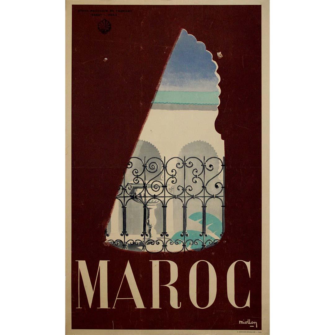
Original circa 1950 travel poster by Miollan - Maroc - Morocco

Original circa 1950 travel poster by Miollan - Maroc - Morocco

Located in PARIS, FR

This original circa 1950 travel poster by Miollan, commissioned by the Office Marocain du Tourisme, offers a poetic and refined vision of Morocco in the mid-20th century. The composi...

Category

1950s Prints and Multiples

Materials

Paper, Lithograph
Original map poster by G. Carriat Rolant for AOF (Afrique Occidentale Française)

Original map poster by G. Carriat Rolant for AOF (Afrique Occidentale Française)

Located in PARIS, FR

The circa 1950 original map poster by G. Carriat Rolant for AOF (Afrique Occidentale Française) is a notable example of mid-20th-century cartographic art and colonial-era representation. Numbered 584 out of 1000, this limited-edition piece was edited by Paul Bory...

Category

1950s Prints and Multiples

Materials

Paper, Lithograph
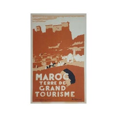
1940 Original poster by Robert Génicot - Morocco Land of Great Tourism

1940 Original poster by Robert Génicot - Morocco Land of Great Tourism

By Robert Genicot

Located in PARIS, FR

Original poster was made in 1940 by Robert Génicot 🇫🇷 (1890-1981) for the Moroccan Office of Tourism. He was notably an artist appreciated for his drawings of Morocco. The use of ...

Category

1940s Prints and Multiples

Materials

Linen, Paper, Lithograph

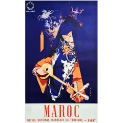
1960 Original poster Maroc - musicienne

1960 Original poster Maroc - musicienne

Located in PARIS, FR

A very beautiful poster with magnificent colors made by J.G Mantel in 1960 to promote the Folklore Festival of Marrakech. This festival was created in 1960 by His Majesty King Mohammed V...

Category

1960s Prints and Multiples

Materials

Paper

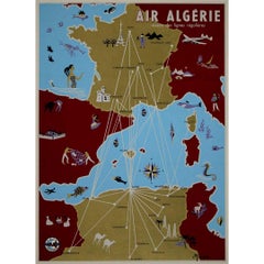
Circa 1950 poster Air Algérie regular line network

Circa 1950 poster Air Algérie regular line network

Located in PARIS, FR

The circa 1950 poster Air Algérie, réseau des lignes régulières by C. Rivière is a vibrant and captivating piece of mid-century commercial art that illustrates the network of regular...

Category

1950s Prints and Multiples

Materials

Linen, Paper, Lithograph

You May Also Like

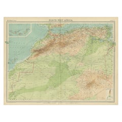
Antique Map of Northwest Africa by Bartholomew, 1922

Antique Map of Northwest Africa by Bartholomew, 1922

Located in Langweer, NL

Antique map of Africa titled 'North-West Africa'. Old map of north-west Africa depicting Morocco, Algeria, Tunis and surroundings. This map originates from 'The Times' atlas. Artists...

Category

20th Century British Maps

Materials

Paper

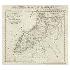
Original Antique Map of Fez and Morocco, 1799

Original Antique Map of Fez and Morocco, 1799

Located in Langweer, NL

Antique map titled 'Karte von Fes und Marócos (..)'. Original old map of Fez (or Fes) and Morocco. Also shows the Strait of Gibraltar. By Friedrich Gottlieb Canzler, published 1799.

Category

Antique Late 18th Century German Maps

Materials

Paper

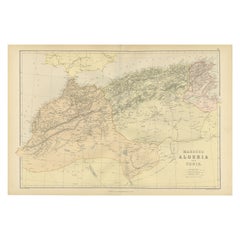
Morocco, Algeria and Tunis, Antique Map of North Africa, Blackie, 1882

Morocco, Algeria and Tunis, Antique Map of North Africa, Blackie, 1882

Located in Langweer, NL

The maps is from the 1882 atlas by Blackie & Son and offers a detailed view of the North African regions as understood in the late 19th century. Map of Morocco, Algeria, and Tunis...

Category

Antique 1880s British Maps

Materials

Paper

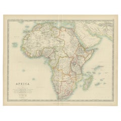
Antique Map of Africa by Johnston (1909)

Antique Map of Africa by Johnston (1909)

Located in Langweer, NL

Antique map titled 'Africa'. Original antique map of Africa. This map originates from the ‘Royal Atlas of Modern Geography’. Published by W. & A....

Category

Early 20th Century Maps

Materials

Paper