Want more images or videos?
Request additional images or videos from the seller
1 of 2

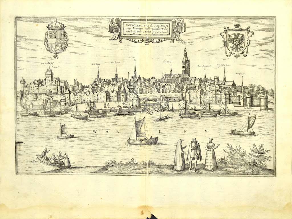
Franz Hogenberg
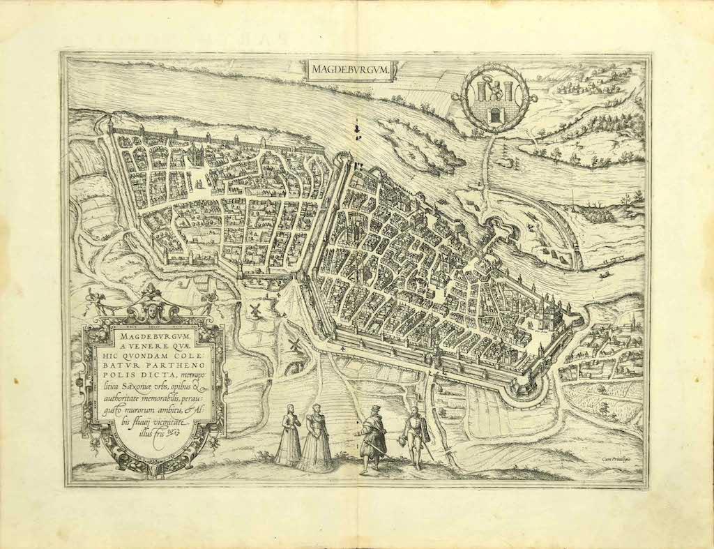
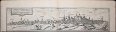
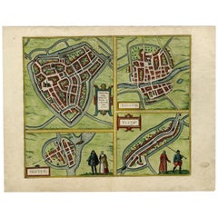
Machelen, Map from "Civitates Orbis Terrarum" - by F. Hogenberg - 1575

1575

$413.01
£305.28
€350VAT Included
CA$573.12
A$583.43
CHF 335.99
MX$7,030.93
NOK 3,899.92
SEK 3,934.78
DKK 2,668.31

About the Item

"Machelen", from the collection "Civitates Orbis Terrarum", Cologne, T. Graminaeus, 1575. The “Civitates Orbis Terrarum” (Atlas of Cities of the World) was the second oldest printed atlas in the history of world cartography and the first atlas totally dedicated to topographical views. The first volume of this collection was published at Cologne in 1572; the others following in 1575, 1581, 1588 and 1598. The sixth and final volume appeared in 1617, just before the extensive devastation wreaked by the Thirty Years’War. “The most original and magnificent of all city-atlases, which drew on the work of accomplished topographical artists; and…reproduced it in pictorial compositions of great charm and individuality”. R.A.Skelton This artwork is shipped from Italy. Under existing legislation, any artwork in Italy created over 70 years ago by an artist who has died requires a licence for export regardless of the work’s market price. The shipping may require additional handling days to require the licence according to the final destination of the artwork.
  • Creator:
    Franz Hogenberg (1540 - 1590, Flemish)
  • Creation Year:
    1575
  • Dimensions:
    Height: 4.34 in (11 cm)Width: 18.9 in (48 cm)Depth: 0.04 in (1 mm)
  • Medium:
  • Period:
  • Condition:
    Insurance may be requested by customers as additional service, contact us for more information.
  • Gallery Location:
    Roma, IT
  • Reference Number:
    Seller: J-719431stDibs: LU65034559501

More From This Seller

View All
Luneburg, Map from "Civitates Orbis Terrarum" - by F.Hogenberg - 1575

Luneburg, Map from "Civitates Orbis Terrarum" - by F.Hogenberg - 1575

By Franz Hogenberg

Located in Roma, IT

"Luneburg", from the collection "Civitates Orbis Terrarum", Cologne, T. Graminaeus, 1575. The “Civitates Orbis Terrarum” (Atlas of Cities of the World) was the second oldest print...

Category

16th Century Figurative Prints

Materials

Etching, Aquatint

Burdigala, Map from "Civitates Orbis Terrarum" - by F.Hogenberg - 1575

Burdigala, Map from "Civitates Orbis Terrarum" - by F.Hogenberg - 1575

By Franz Hogenberg

Located in Roma, IT

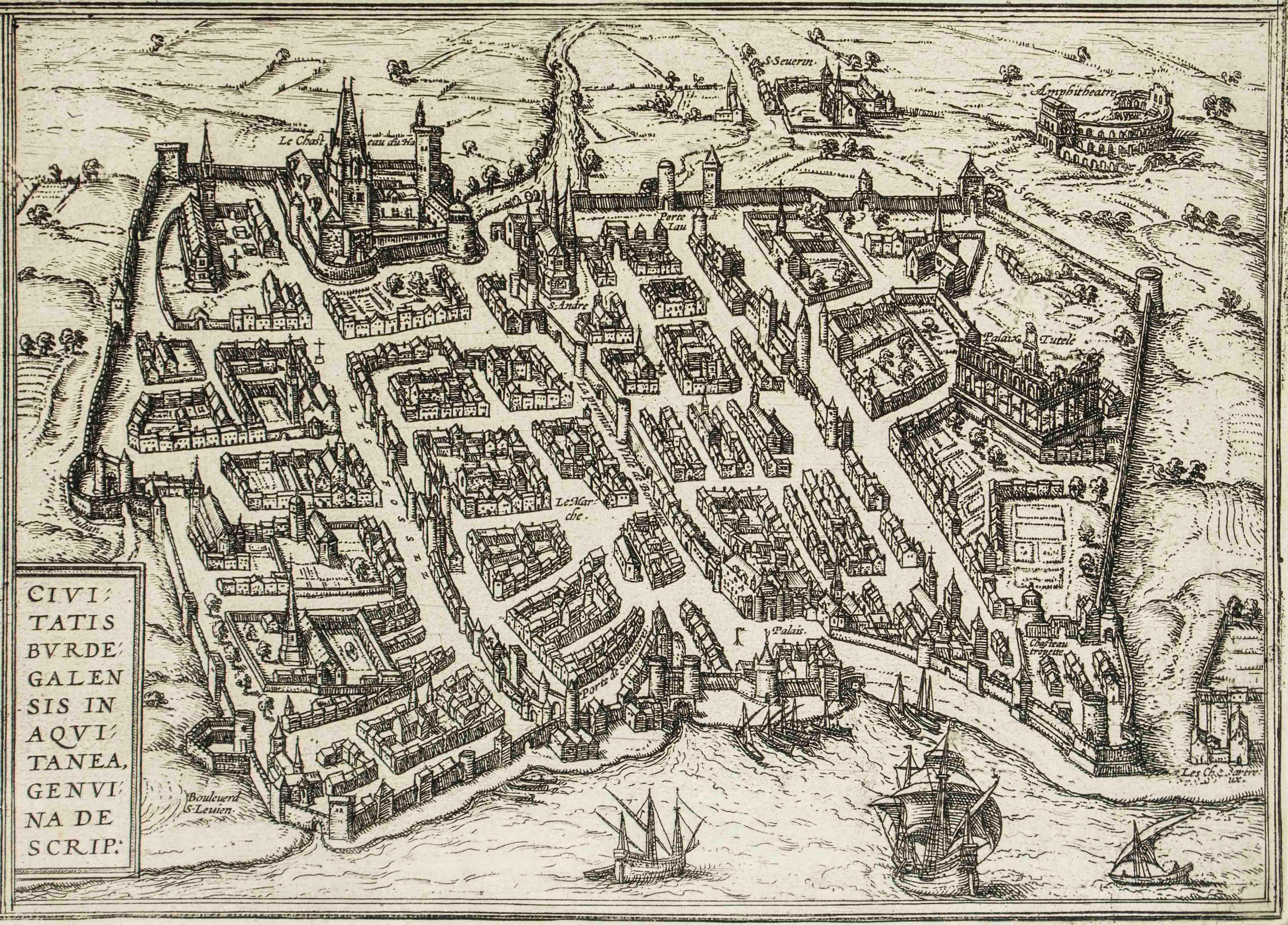
"Burdigala", from the collection "Civitates Orbis Terrarum", Cologne, T. Graminaeus, 1575. The “Civitates Orbis Terrarum” (Atlas of Cities of the World) was the second oldest prin...

Category

16th Century Figurative Prints

Materials

Etching, Aquatint

Nuremberg, Map from "Civitates Orbis Terrarum" - by F. Hogenberg - 1575

Nuremberg, Map from "Civitates Orbis Terrarum" - by F. Hogenberg - 1575

By Franz Hogenberg

Located in Roma, IT

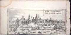
Braun G., Hogenberg F., Nurnberg or Nuremberg, from the collection Civitates Orbis Terrarum, Cologne, T. Graminaeus, 1572-1617. Very fine B/W aquatint showing a view of Nuremberg. Strongly influenced by Hartmann Schedel's Nuremberg Chronicles...

Category

16th Century Figurative Prints

Materials

Etching, Aquatint

Stade, Antique Map from "Civitates Orbis Terrarum" - 1572-1617

Stade, Antique Map from "Civitates Orbis Terrarum" - 1572-1617

By Franz Hogenberg

Located in Roma, IT

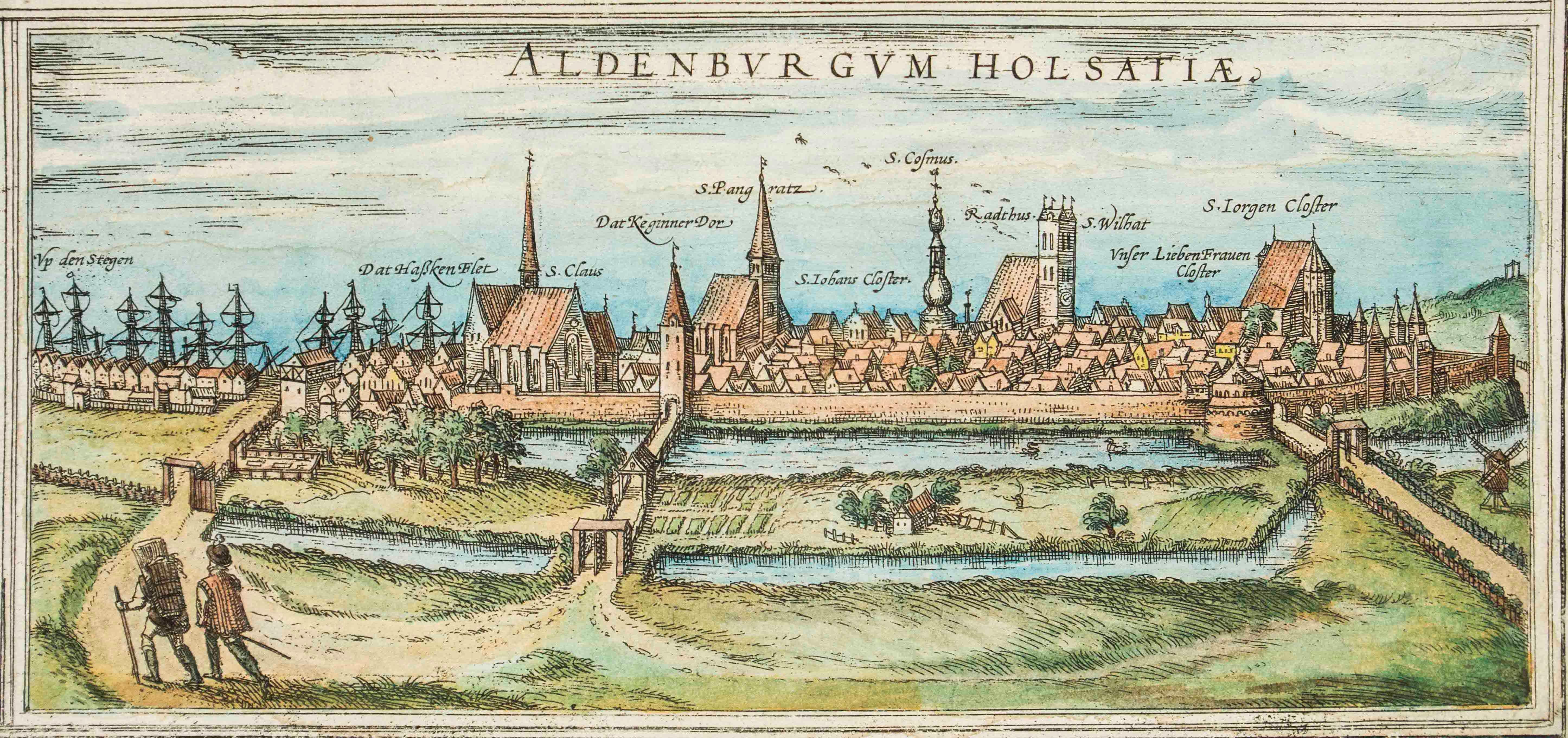
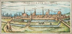
Braun G., Hogenberg F., Aldenburgum Holsatiae, or Stade, from the collection Civitates Orbis Terrarum, Cologne, T. Graminaeus, 1572-1617. Precious hand-colored aquatint showing a vi...

Category

16th Century Landscape Prints

Materials

Etching

You May Also Like

18th Century Map Engraving - Mechlin, or Malines

18th Century Map Engraving - Mechlin, or Malines

Located in Corsham, GB

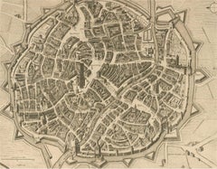
A map of Mechelen, known as Malines in French and Mechlin in English, a city and municipality in the province of Antwerp in the Flemish Region of Belgium. A birds-eye view plan of th...

Category

18th Century More Prints

Materials

Engraving

Antique Haarlem Map, Sebastian Münster Cosmographia Woodcut, c.1575

Antique Haarlem Map, Sebastian Münster Cosmographia Woodcut, c.1575

Located in Langweer, NL

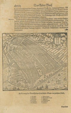
Antique Haarlem Map, Sebastian Münster Cosmographia Woodcut, c.1575 A rare original sixteenth-century woodcut map and bird's-eye view of Haarlem, published in Sebastian Münster's ce...

Category

Antique 16th Century Dutch Maps

Materials

Paper

Frankfort, Germany: A 16th Century Hand-colored Map by Braun & Hogenberg

Frankfort, Germany: A 16th Century Hand-colored Map by Braun & Hogenberg

By Franz Hogenberg

Located in Alamo, CA

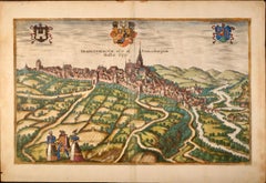
This is a 16th century original hand-colored copperplate engraved map of Frankfort, Germany entitled "Francenbergum, vel ut alij Francoburgum Hassiae Opp" by Georg Braun & Franz Hogenberg, from their famous city atlas "Civitates Orbis Terrarum", published in Cologne, Germany in 1595. This is an English translation of an excerpt from the original text in the atlas: "Frankenberg or, according to others, Francoburgum, a town in Hesse. Charlemagne vested the town of Frankenberg with many freedoms and privileges, which it still enjoys to this day, and on account of its valiant and victorious soldiers awarded a signet, upon which there formerly appeared a golden castle with a tower, together with the letter F and a golden crown. Frankenberg, seen here from the northeast, lies on a hill above the River Eder. The hillside is covered with fields neatly separated by bushes and fences. Soaring above the town is the massive Liebfrauenkirche, which was modelled on St Elizabeth's church in Marburg. The New Town was founded in 1335 at the foot of the hill (right) and merged with the Old Town as late as 1556. Frankenberg was founded by Conrad of Thuringia in 1233/34 to prevent the archbishops of Mainz from expanding their sphere of influence...

Category

16th Century Old Masters Landscape Prints

Materials

Engraving

Antique Map of the City of Zutphen by Guicciardini, 1613

Antique Map of the City of Zutphen by Guicciardini, 1613

Located in Langweer, NL

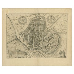
Antique map Zutphen titled 'Zutphen'. This map depicts the city of Zutphen, Gelderland, The Netherlands. Originates from 'Discrittione di tutti i Paesi Bassi'. Artists and Engrav...

Category

Antique 17th Century Maps

Materials

Paper

Tournai (Tournay), Belgium: A 16th Century Hand-colored Map by Braun & Hogenberg

Tournai (Tournay), Belgium: A 16th Century Hand-colored Map by Braun & Hogenberg

By Franz Hogenberg

Located in Alamo, CA

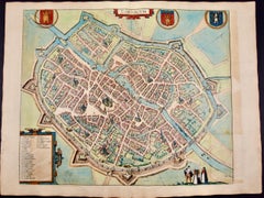
This is a 16th century original hand-colored copperplate engraved map of Tournai, Belgium, entitled "Tornacum" by Georg Braun & Franz Hogenberg, in volume IV of their famous city atlas "Civitates Orbis Terrarum", published in Cologne or Augsberg, Germany in 1575. The map provides a bird's-eye view of the walled city of Tournai, the second oldest city in Belgium. It lies approximately one hour by car southwest of Brussels or from Ghent. The names of thirty of its streets, prominent buildings, churches and squares are listed in a key within a strap-work cartouche in the lower left. These locations are numbered in the key corresponding to their locations on the map. This colorful map of Tournai (Tornacum or Tournay as it was called in the 16th century) includes the title in Latin in a cartouche in the upper center. Three crests are present across the upper map. A man and two woman are standing on a hill in the foreground in the lower right dressed in the style of 16th century upper class residents of the town. This is an English translation of an excerpt of Braun's description of Tornai: “Tornacum or Turnacum is a city in Gallia Belgica, situated on the Schelde in the territory of the Nervii, called Tournai by its French inhabitants, but Dorneck by the Germans. Tournai has always been a large and powerful city, with an abundance of goods and commercial activities and wonderfully resourceful craftsmen, who invent new articles every day, and although some of these go out of use they constantly conceive of other new things, both useful and delightful, so that they have at all times something that provides work and a means of livelihood for the poor." ReferencesVan der Krogt 4, 4435, State 1; Taschen, Braun and Hogenberg...

Category

16th Century Old Masters Landscape Prints
Materials

Engraving

Antique Map of Sneek, Dokkum, Sloten and IJlst by Hogenberg, c.1572

Antique Map of Sneek, Dokkum, Sloten and IJlst by Hogenberg, c.1572

Located in Langweer, NL

Antique map titled 'Provincie Friesland - Gemeente Sloten'. Map of the township of Sloten, Friesland. This map originates from 'Gemeente-Atlas van Nederland' by J. Kuyper. Artists an...

Category

Antique 19th Century Maps

Materials

Paper