Want more images or videos?
Request additional images or videos from the seller
1 of 2

Franz Hogenberg
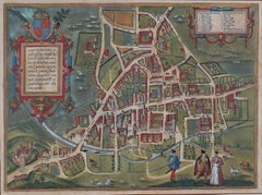
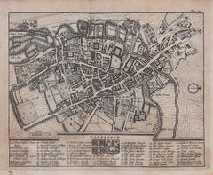
Oxford, Map from "Civitates Orbis Terrarum" - by F. Hogenberg - 1575

1575

$649.83
£479.51
€550VAT Included
CA$901.02
A$915.16
CHF 527.38
MX$11,049.25
NOK 6,126.05
SEK 6,177.16
DKK 4,193.66

About the Item

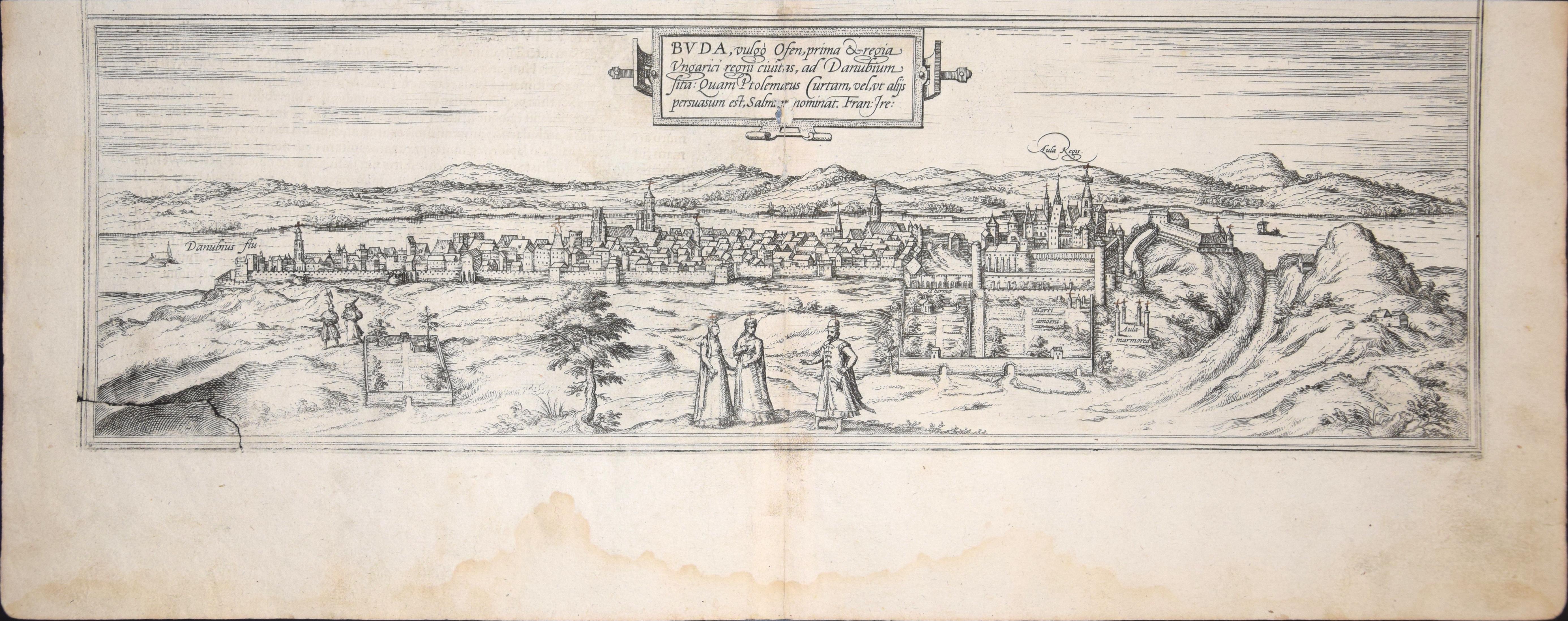
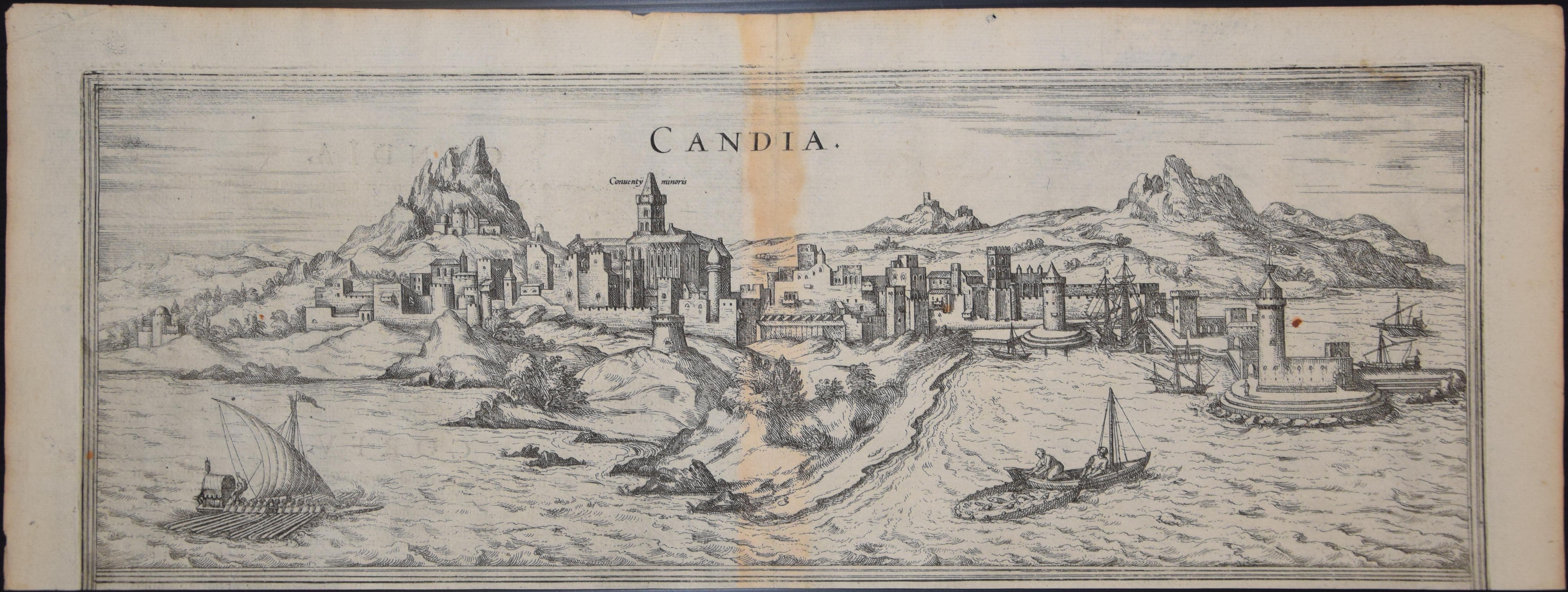
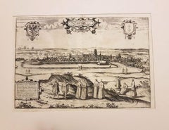
Braun G., Hogenberg F., Oxonium or Oxford, from the collection Civitates Orbis Terrarum, Cologne, T. Graminaeus, 1572-1617. Very fine and interestig B/W aquatint showing a view of Oxford, formerly «Oxonium», from the north of the city. The table is after a wood engraving by G. Hoefnagel’s. Oxonium (often abbreviated to Oxon.) is sometimes used in university circles as a Latin name for Oxford University in England. Good conditions, with a very little medial hole, some stains, and a lightly browned paper on the margins. The “Civitates Orbis Terrarum” (Atlas of Cities of the World) was the second oldest printed atlas in the history of world cartography and the first atlas totally dedicated to topographical views. The first volume of this collection was published at Cologne in 1572; the others following in 1575, 1581, 1588 and 1598. The sixth and final volume appeared in 1617, just before the extensive devastation wreaked by the Thirty Years’War. “The most original and magnificent of all city-atlases, which drew on the work of accomplished topographical artists; and…reproduced it in pictorial compositions of great charm and individuality”. R.A.Skelton This artwork is shipped from Italy. Under existing legislation, any artwork in Italy created over 70 years ago by an artist who has died requires a licence for export regardless of the work’s market price. The shipping may require additional handling days to require the licence according to the final destination of the artwork.
  • Creator:
    Franz Hogenberg (1540 - 1590, Flemish)
  • Creation Year:
    1575
  • Dimensions:
    Height: 8.08 in (20.5 cm)Width: 21.26 in (54 cm)Depth: 0.04 in (1 mm)
  • Medium:
  • Period:
  • Condition:
    Insurance may be requested by customers as additional service, contact us for more information.
  • Gallery Location:
    Roma, IT
  • Reference Number:
    Seller: J-719351stDibs: LU65034559861

More From This Seller

View All
Windsor, Antique Map from "Civitates Orbis Terrarum"

Windsor, Antique Map from "Civitates Orbis Terrarum"

By Franz Hogenberg

Located in Roma, IT

Braun G., Hogenberg F., "Vindesorium" or Windsor", from the collection "Civitates Orbis Terrarum", Cologne, T. Graminaeus, 1572-1617. Image Dim: cm 18 x 48 , Dim: cm 20.5 x 54. Very...

Category

16th Century Landscape Prints

Materials

Etching

Cascale, Map from "Civitates Orbis Terrarum" - by F. Hogenberg - 1575

Cascale, Map from "Civitates Orbis Terrarum" - by F. Hogenberg - 1575

By Franz Hogenberg

Located in Roma, IT

Braun G., Hogenberg F., Cascale, from the collection Civitates Orbis Terrarum, Cologne, T. Graminaeus, 1572-1617. Good conditions expect tue usual central fold. The “Civitates Orbis...

Category

16th Century Figurative Prints

Materials

Etching, Aquatint

Goricum, Map from "Civitates Orbis Terrarum" - by F.Hogenberg - 1575

Goricum, Map from "Civitates Orbis Terrarum" - by F.Hogenberg - 1575

By Franz Hogenberg

Located in Roma, IT

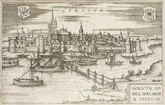
"Goricum", from the collection "Civitates Orbis Terrarum", Cologne, T. Graminaeus, 1575. The “Civitates Orbis Terrarum” (Atlas of Cities of the World) was the second oldest printe...

Category

16th Century Figurative Prints

Materials

Etching, Aquatint

Granada, Map from "Civitates Orbis Terrarum" - by F.Hogenberg - 1575

Granada, Map from "Civitates Orbis Terrarum" - by F.Hogenberg - 1575

By Franz Hogenberg

Located in Roma, IT

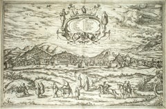
"Granada", from the collection "Civitates Orbis Terrarum", Cologne, T. Graminaeus, 1575. Very nice B/W Aquatint, representing a View of Granada, from the East, which was perhaps t...

Category

16th Century Figurative Prints

Materials

Etching, Aquatint

Burdigala, Map from "Civitates Orbis Terrarum" - by F.Hogenberg - 1575

Burdigala, Map from "Civitates Orbis Terrarum" - by F.Hogenberg - 1575

By Franz Hogenberg

Located in Roma, IT

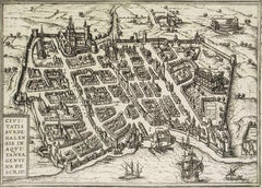
"Burdigala", from the collection "Civitates Orbis Terrarum", Cologne, T. Graminaeus, 1575. The “Civitates Orbis Terrarum” (Atlas of Cities of the World) was the second oldest prin...

Category

16th Century Figurative Prints

Materials

Etching, Aquatint

You May Also Like

Map of Cambridge, c.1572 engraving by Braun & Hogenberg

Map of Cambridge, c.1572 engraving by Braun & Hogenberg

Located in London, GB

To see our other views of Oxford and Cambridge, scroll down to "More from this Seller" and below it click on "See all from this Seller" - or send us a message if you cannot find the ...

Category

16th Century Realist Landscape Prints

Materials

Engraving

Siege of Wolfenbüttel, 1627 – Merian Theatrum Europaeum Engraving, c.1635

Siege of Wolfenbüttel, 1627 – Merian Theatrum Europaeum Engraving, c.1635

Located in Langweer, NL

A finely detailed and historically significant copper engraving depicting the Siege of Wolfenbüttel in 1627, one of the key military engagements of the Thirty Years’ War. This print...

Category

Antique Early 17th Century German Maps

Materials

Paper

Oxford 1675 engraving by David Loggan Prospectus Oxoniae Orientalis

Oxford 1675 engraving by David Loggan Prospectus Oxoniae Orientalis

By David Loggan

Located in London, GB

To see our other views of Oxford and Cambridge, scroll down to "More from this Seller" and below it click on "See all from this Seller" - or send us a message if you cannot find the ...

Category

1670s Realist Prints and Multiples

Materials

Engraving

Antique Haarlem Map, Sebastian Münster Cosmographia Woodcut, c.1575

Antique Haarlem Map, Sebastian Münster Cosmographia Woodcut, c.1575

Located in Langweer, NL

Antique Haarlem Map, Sebastian Münster Cosmographia Woodcut, c.1575 A rare original sixteenth-century woodcut map and bird's-eye view of Haarlem, published in Sebastian Münster's ce...

Category

Antique 16th Century Dutch Maps

Materials

Paper

Map of Cambridge, engraving Pieter van der Aa after David Loggan

Map of Cambridge, engraving Pieter van der Aa after David Loggan

By Pieter Van Der Aa

Located in London, GB

Pieter van der Aa (1659 - 1733), after David Loggan (1634 - 1692) Map of Cambridge Engraving 12 x 16 cm An eighteenth-century view of Cambridge, engraved by Pieter van der Aa after ...

Category

Early 18th Century Realist Prints and Multiples

Materials

Engraving

Antique Plan of the Siege of Grave by Guicciardini, c.1608

Antique Plan of the Siege of Grave by Guicciardini, c.1608

Located in Langweer, NL

Antique map titled 'Hic est situs oppidi Grauiae (..)'. Bird's eye view plan of Grave, The Netherlands, Holland. Showing the siege of Grave in the year 1602. Source unknown, to be de...

Category

Antique 17th Century Maps

Materials

Paper