Want more images or videos?
Request additional images or videos from the seller
1 of 5

Unknown
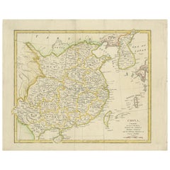
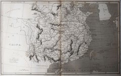
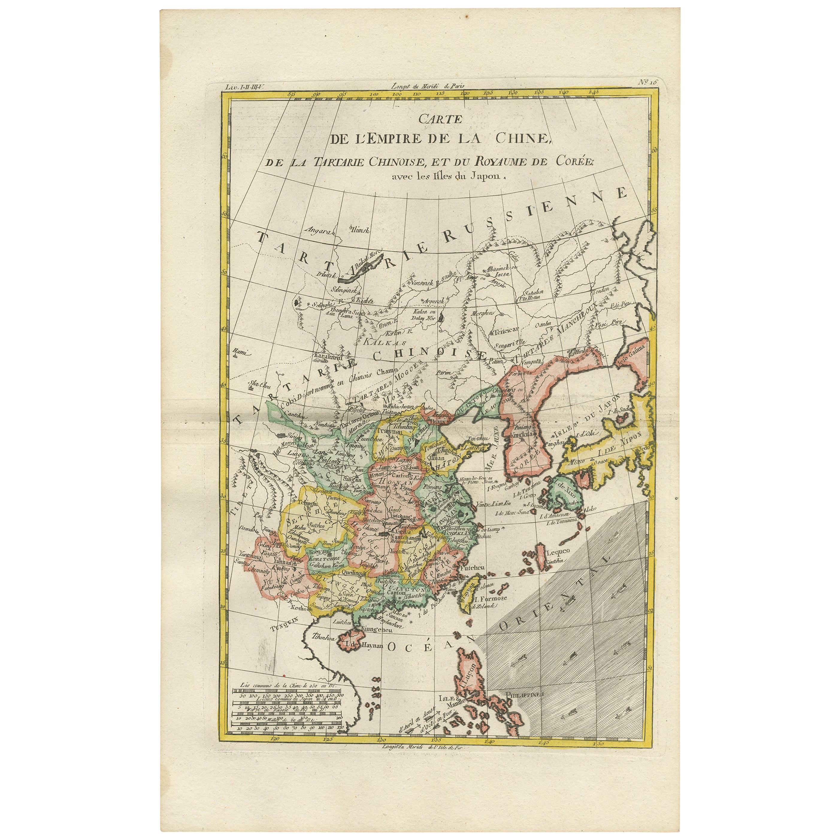
Map of China - Etching - 19th Century

19th Century

$294.18
£218.19
€250VAT Included
CA$412.78
A$419.42
CHF 237.61
MX$5,103.30
NOK 2,786.22
SEK 2,801.40
DKK 1,907.55

About the Item

This map of China is an etching realized in 19th century. The state of preservation of the artwork is excellent. At the top of the paper, the inscription “Longitudine del Meridiano dell'Isola del Ferro”, whilst at the bottom, just below the image, the inscription “Longitudine Est del Meridiano di Parigi”. At the top right, the number of the sheet "XXVI” is printed. Image Dimensions: 26 x 20 cm
  • Creation Year:
    19th Century
  • Dimensions:
    Height: 18.51 in (47 cm)Width: 11.42 in (29 cm)Depth: 0.04 in (1 mm)
  • Medium:
  • Period:
  • Framing:
    Framing Options Available
  • Condition:
    Insurance may be requested by customers as additional service, contact us for more information.
  • Gallery Location:
    Roma, IT
  • Reference Number:
    Seller: M-1087221stDibs: LU65038033872

More From This Seller

View All
Map of Switzerland - Etching - 19th Century

Map of Switzerland - Etching - 19th Century

Located in Roma, IT

This map of Netherlands is an etching realized in 19th century. The state of preservation of the artwork is excellent. The signature "F.B." is engraved on the lower right. At the to...

Category

19th Century Figurative Prints

Materials

Etching
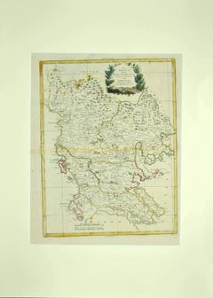
Map of Greece - Etching by Antonio Zatta - 18th Century

Map of Greece - Etching by Antonio Zatta - 18th Century

By Antonio Zatta 1

Located in Roma, IT

This Map of Greece is an etching realized by Antonio Zatta, Cartographer, publisher and typographer. The state of preservation of the artwork is good except for the worn paper and t...

Category

1780s Figurative Prints

Materials

Etching
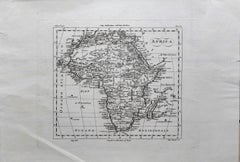
Ancient Map of Africa - Etching - 19th century

Ancient Map of Africa - Etching - 19th century

Located in Roma, IT

This Map of Africa is an etching realized in the 19th century. The state of preservation of the artwork is good. At the top of the paper, the inscription “Longitudine del Meridiano ...

Category

19th Century More Prints

Materials

Etching

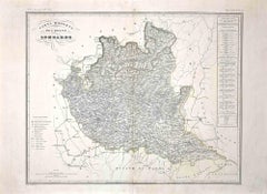
Map of Lombardy - Original Etching - 19th Century

Map of Lombardy - Original Etching - 19th Century

Located in Roma, IT

The Map of Lombardy is an original etching realized by an anonymous artist. Fair conditions, the folding line of the middle is repaired. The artwork represents the map of Lombardo....

Category

19th Century Modern Figurative Prints

Materials

Etching
You May Also Like

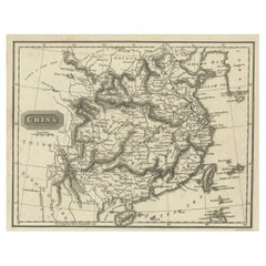
Antique Map of China by Artist Wilkinson, Engraved Paper, 1803

Antique Map of China by Artist Wilkinson, Engraved Paper, 1803

Located in Langweer, NL

Antique map titled 'China, Contains 15 Subject Provinces Including the 2 Islands of Hainan, Formosa and the Tributary Kingdoms of Korea, Tonkin'. Old map depicting China, extending f...

Category

Antique Early 19th Century British Maps

Materials

Paper

Original Antique Map of China, Arrowsmith, 1820

Original Antique Map of China, Arrowsmith, 1820

Located in St Annes, Lancashire

Great map of China Drawn under the direction of Arrowsmith Copper-plate engraving Published by Longman, Hurst, Rees, Orme and Brown, 1820 Unfr...

Category

Antique 1820s English Maps

Materials

Paper

Old Map of the Mainland of China and the Islands of Formosa or Taiwan, c.1817

Old Map of the Mainland of China and the Islands of Formosa or Taiwan, c.1817

Located in Langweer, NL

Antique map titled 'China'. Old map of the mainland of China and the islands of Formosa or Taiwan. This map originates from 'Universal Geography' by T. Kelly. Artists and Engrave...

Category

Antique 19th Century Maps

Materials

Paper

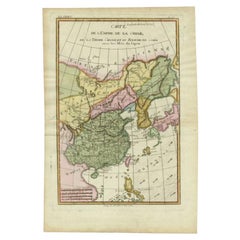
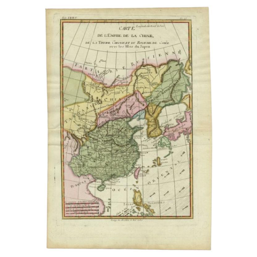
Antique Map of the Empire of China by Bonne, c.1780

Antique Map of the Empire of China by Bonne, c.1780

By Rigobert Bonne

Located in Langweer, NL

Antique map titled 'Carte de L'Empire de la Chine.' Decorative map of the Empire of China, depicting China, Corea ( Korea ), Japan, Tonquin and the Philippine island Lucon. Source un...

Category

Antique 18th Century Maps

Materials

Paper

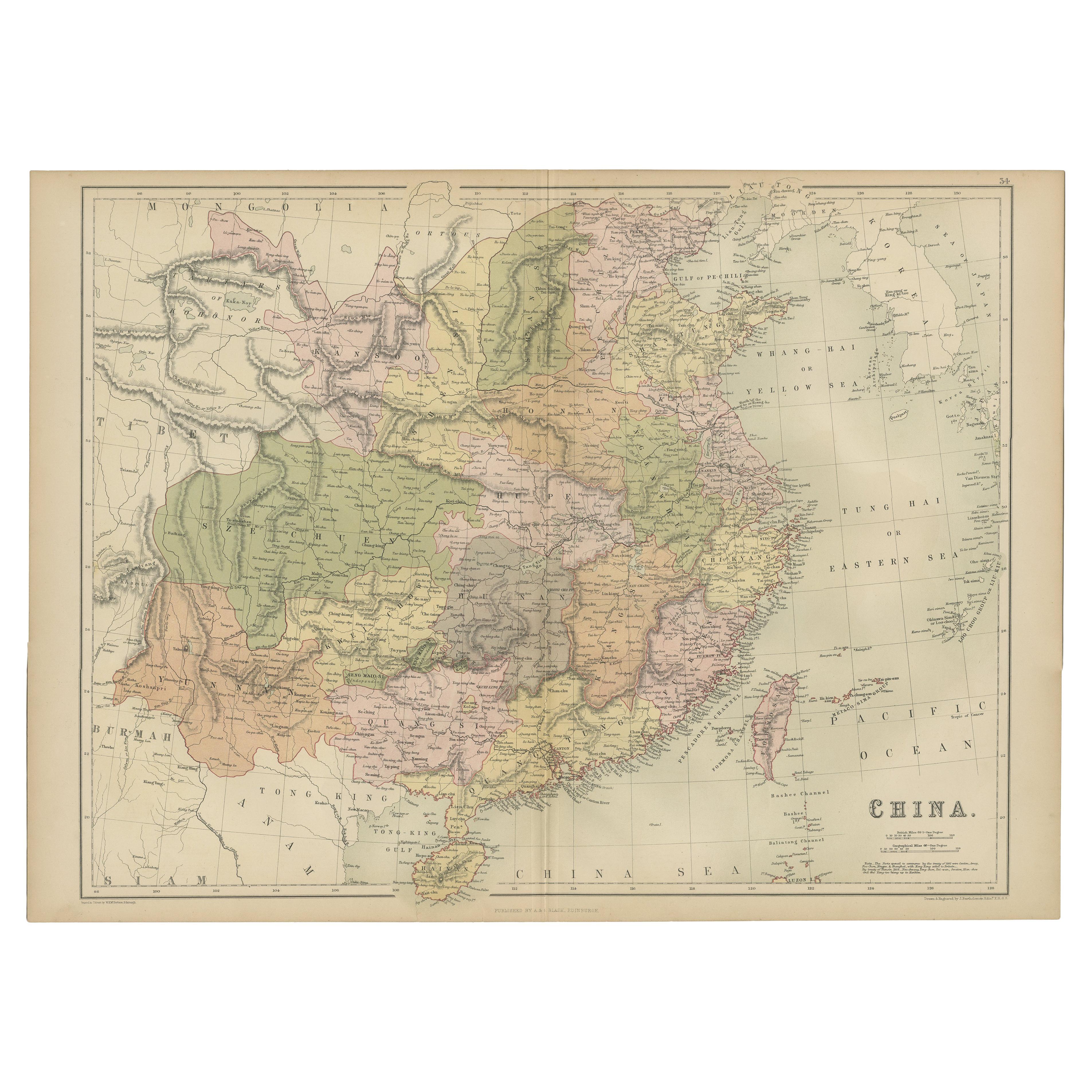
Antique Map of China by A & C, Black, 1870

Antique Map of China by A & C, Black, 1870

Located in Langweer, NL

Antique map titled 'China'. Original antique map of China. This map originates from ‘Black's General Atlas of The World’. Published by A & C. Black, 1870.

Category

Antique Late 19th Century Maps

Materials

Paper

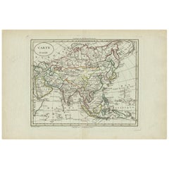
Antique Map of Asia by Alexandre Blondeau, Paper Print, Circa 1800

Antique Map of Asia by Alexandre Blondeau, Paper Print, Circa 1800

Located in Langweer, NL

Asia Map, from Mediterranean to Japan – Antique Map by Alexandre Blondeau, c. 1800 This fine circa 1800 map of Asia presents the entire continent in a single, coherent composition, ...

Category

Antique Early 19th Century Maps

Materials

Paper