Want more images or videos?
Request additional images or videos from the seller
1 of 5

Unknown
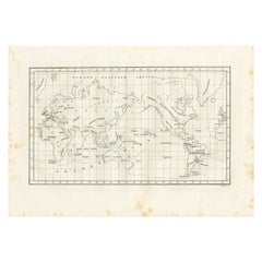
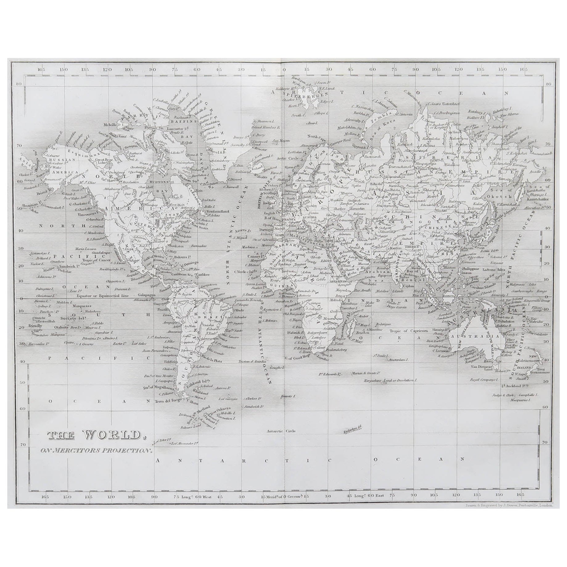
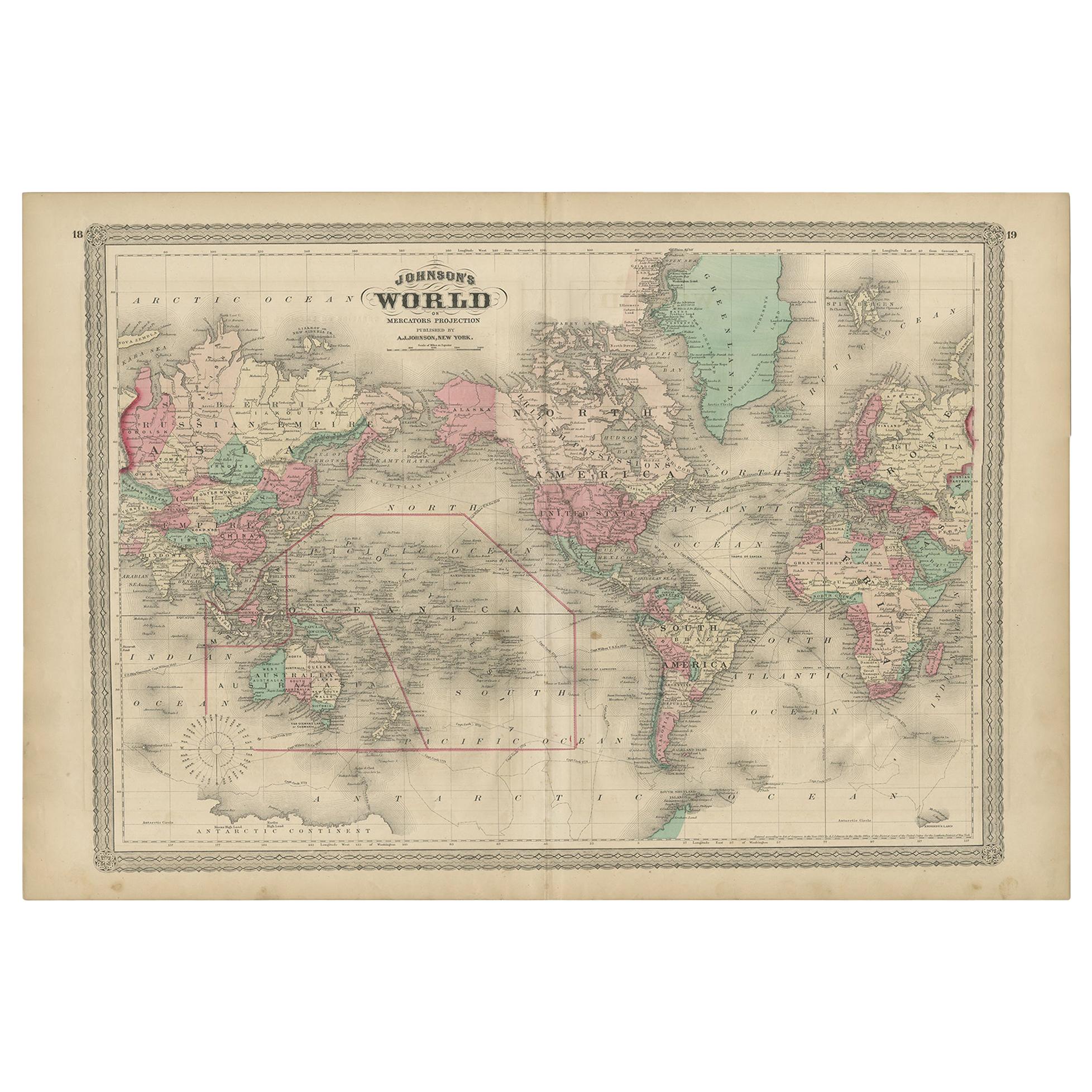
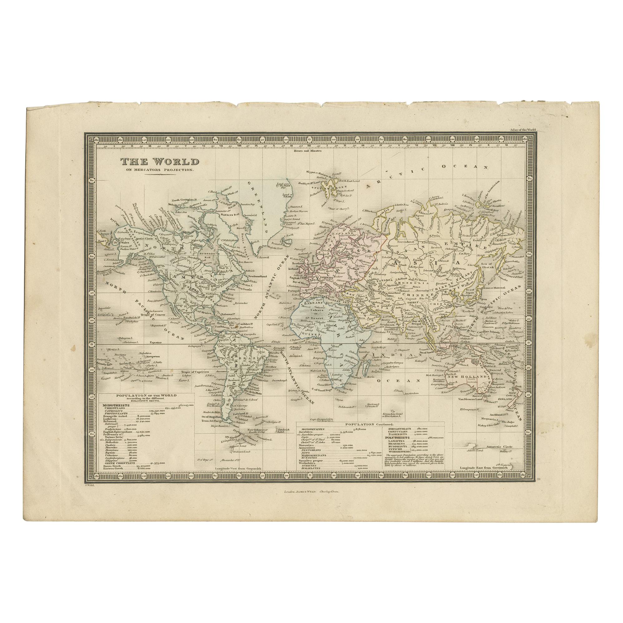
Map of the World - Original Etching - 1820

1820

$410.92
£306.06
€350
CA$577.09
A$585.44
CHF 332.99
MX$7,112.51
NOK 3,916.26
SEK 3,929.84
DKK 2,669.23

About the Item

Map of the World is an Original Etching realized by an unknown artist of 19th century in 1820. Very good condition on two sheets of white paper joined at the center. The map is an etching,hand watercoloured. No signature.
  • Creation Year:
    1820
  • Dimensions:
    Height: 18.12 in (46 cm)Width: 22.84 in (58 cm)Depth: 0.04 in (1 mm)
  • Medium:
  • Movement & Style:
  • Period:
  • Framing:
    Framing Options Available
  • Condition:
    Insurance may be requested by customers as additional service, contact us for more information.
  • Gallery Location:
    Roma, IT
  • Reference Number:
    Seller: T-1320661stDibs: LU650310402772

More From This Seller

View All
World Map - Etching by Hubert Nicholas-Jaillot - 1719

World Map - Etching by Hubert Nicholas-Jaillot - 1719

Located in Roma, IT

World map is an original modern artwork realized by Hubert Nicholas - Jaillot, printed by Louis Cordier in  Paris 1719. Etching on copper The artwork depicts two hemispheres, conti...

Category

1710s Old Masters Figurative Prints

Materials

Etching
Ancient Map of Oceania - Original Etching - 19th century

Ancient Map of Oceania - Original Etching - 19th century

Located in Roma, IT

This Map of Oceania is an etching realized in the 19th century. The state of preservation of the artwork is good. At the top of the paper, the inscription “Longitudine del Meridiano...

Category

19th Century More Prints

Materials

Etching

Map of Russia  - Original Etching - Late 19th Century

Map of Russia - Original Etching - Late 19th Century

Located in Roma, IT

This Map of Russia is an etching realized by an anonymous artist. The state of preservation of the artwork is good with some small diffused stains. Sheet dimension:27.5 x 44 At t...

Category

Late 19th Century Modern Figurative Prints

Materials

Etching
You May Also Like

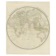
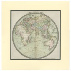
Antique Map of the Eastern Hemisphere by Wyld, 1842

Antique Map of the Eastern Hemisphere by Wyld, 1842

Located in Langweer, NL

Antique map titled 'Eastern Hemisphere'. Large map depicting the continents Europe, Asia, Afrika and Australia. Artists and Engravers: James Wyld (1812–1887) was a British geograph...

Category

Antique 19th Century Maps

Materials

Paper

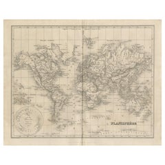
Antique Map of the World by Balbi '1847'

Antique Map of the World by Balbi '1847'

Located in Langweer, NL

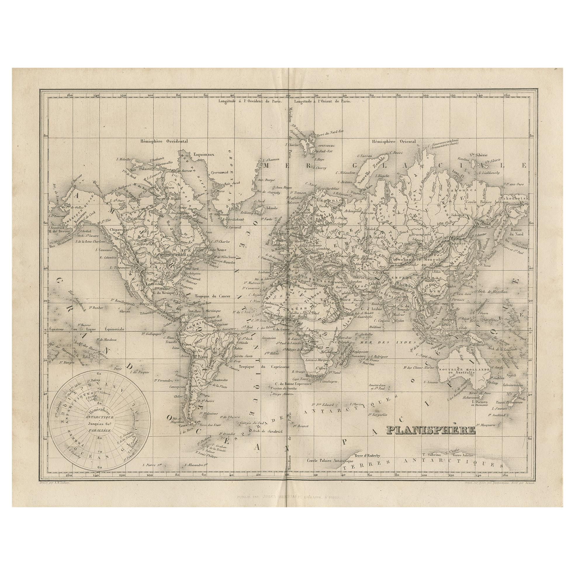
Antique map titled 'Planisphère'. Original antique map of the world. This map originates from 'Abrégé de Géographie (..)' by Adrien Balbi. Pub...

Category

Antique Mid-19th Century Maps

Materials

Paper

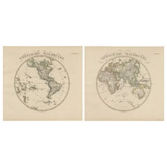
Western & Eastern Hemisphere Maps – World Double Hemisphere Engravings 1857

Western & Eastern Hemisphere Maps – World Double Hemisphere Engravings 1857

Located in Langweer, NL

Western & Eastern Hemisphere Maps – World Double Hemisphere Engravings 1857 These beautiful antique prints show two complementary hemispheric maps titled “Westliche Halbkugel” (West...

Category

Antique Mid-19th Century German Maps

Materials

Paper

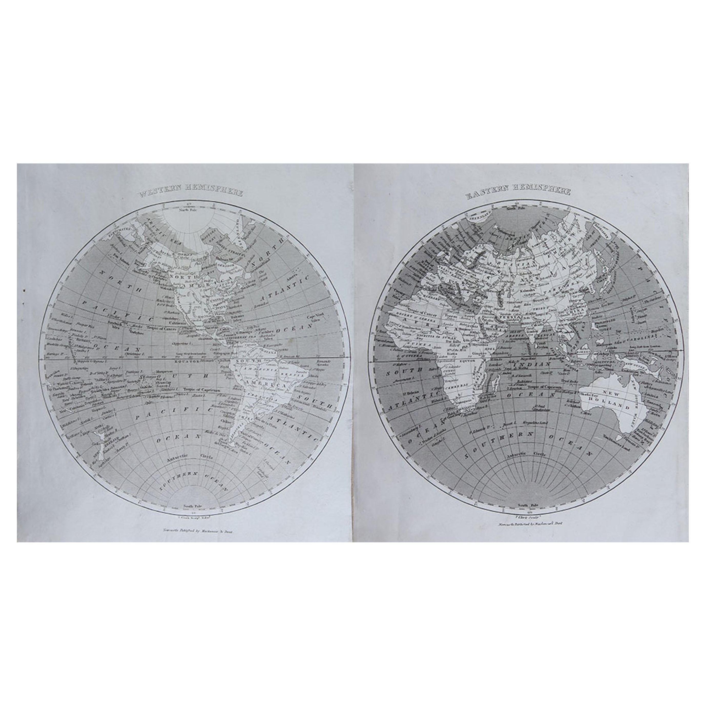
Original Antique Map of The World by Thomas Clerk, 1817

Original Antique Map of The World by Thomas Clerk, 1817

Located in St Annes, Lancashire

Great map of The Eastern and Western Hemispheres On 2 sheets Copper-plate engraving Drawn and engraved by Thomas Clerk, Edinburgh. Published by Mackenzie And Dent, 1817 ...

Category

Antique 1810s English Maps

Materials

Paper