Want more images or videos?
Request additional images or videos from the seller
1 of 8

Jacques Liozu
Jacques Liozu's 1951 illustrated map of North and Central America

1951

$883.50
£655.17
€900VAT Included
CA$1,233.58
A$1,251.61
CHF 715
MX$15,153.87
NOK 8,399.87
SEK 8,388.74
DKK 5,718.69

About the Item

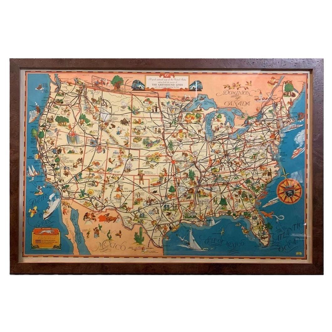
Jacques Liozu's 1951 illustrated map of North and Central America is an exceptional work of cartography that combines geographical precision with artistic aesthetics. Jacques Liozu, a renowned French artist-cartographer, created this map to depict in elegant detail the vast expanses and diverse cultures of these two regions of the American continent. The illustration of the map is a true work of art. Every detail is carefully studied to reflect geographical reality while conveying a sense of wonder and adventure. Beyond its informative function, this map is a true invitation to travel. It captures the essence of the cultural and geographical diversity of these regions, awakening the viewer's curiosity and inspiring the desire to explore these fascinating lands. Today, Jacques Liozu's illustrated map of North and Central America has become a prized collector's item for cartography enthusiasts and art lovers alike. It is a testament to Liozu's artistic talent and his ability to transform a geographical map into a striking and inspiring work of art. This map continues to amaze and captivate, reminding us of the importance of art in our understanding and appreciation of the world around us. North America - Map - Central America Odé Paris
  • Creator:
    Jacques Liozu (1910 - 1974, French)
  • Creation Year:
    1951
  • Dimensions:
    Height: 22.05 in (56 cm)Width: 16.15 in (41 cm)
  • Medium:
  • Period:
  • Condition:
    Very good condition.
  • Gallery Location:
    PARIS, FR
  • Reference Number:
    1stDibs: LU1792212726062

More From This Seller

View All
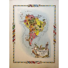
Jacques Liozu's 1951 illustrated map of South America

Jacques Liozu's 1951 illustrated map of South America

By Jacques Liozu

Located in PARIS, FR

Jacques Liozu's 1951 illustrated map of South America is an exceptional work of cartography that skilfully blends art and geography. French artist and cartographer Jacques Liozu crea...

Category

1950s Prints and Multiples

Materials

Paper, Lithograph
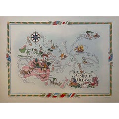
Jacques Liozu's 1951 illustrated map of Australia and Oceania

Jacques Liozu's 1951 illustrated map of Australia and Oceania

By Jacques Liozu

Located in PARIS, FR

Jacques Liozu's 1951 illustrated map of Australia and Oceania is a remarkable cartographic work that combines art and geography to offer an enchanting representation of this part of ...

Category

1950s Prints and Multiples

Materials

Paper, Lithograph
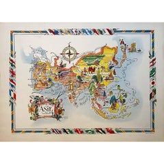
Jacques Liozu's 1951 illustrated map of Asia

Jacques Liozu's 1951 illustrated map of Asia

By Jacques Liozu

Located in PARIS, FR

Jacques Liozu's 1951 illustrated map of Asia is an exceptional work of cartography that combines art and geography to offer a captivating vision of this vast continent. Jacques Liozu...

Category

1950s Prints and Multiples

Materials

Paper, Lithograph
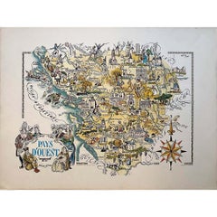
Jacques Liozu's 1951 illustrated map of the region of Pays d'Ouest

Jacques Liozu's 1951 illustrated map of the region of Pays d'Ouest

By Jacques Liozu

Located in PARIS, FR

Jacques Liozu's 1951 illustrated map of the Pays d'Ouest is a remarkable cartographic work that skilfully combines art and geography. Jacques Liozu, the famous French artist-cartogra...

Category

1950s Prints and Multiples

Materials

Paper, Lithograph
Original map poster by G. Carriat Rolant for AOF (Afrique Occidentale Française)

Original map poster by G. Carriat Rolant for AOF (Afrique Occidentale Française)

Located in PARIS, FR

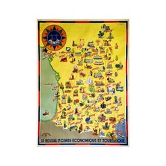
The circa 1950 original map poster by G. Carriat Rolant for AOF (Afrique Occidentale Française) is a notable example of mid-20th-century cartographic art and colonial-era representation. Numbered 584 out of 1000, this limited-edition piece was edited by Paul Bory...

Category

1950s Prints and Multiples

Materials

Paper, Lithograph
You May Also Like

Old Decorative Pictorial Map of the United States, circa 1953

Old Decorative Pictorial Map of the United States, circa 1953

Located in Langweer, NL

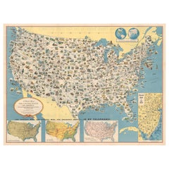
Antique map titled 'A Pictorial Map of the United States of America Showing Principal Regional Resources, Products, and Natural Features'. This information-packed map was create by the General Drafting Company for the New Jersey Bell Telephone Company. The main map features over 700 drawings in full color including points of interest, natural resources, and agricultural products. At bottom are inset maps showing railroad lines, air routes, telephone lines, as well as a pictorial map of New Jersey...

Category

20th Century Maps

Materials

Paper

French Map of the Americas by Cortambert – North & South America 1864

French Map of the Americas by Cortambert – North & South America 1864

Located in Langweer, NL

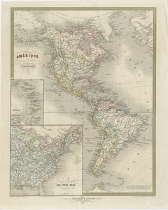
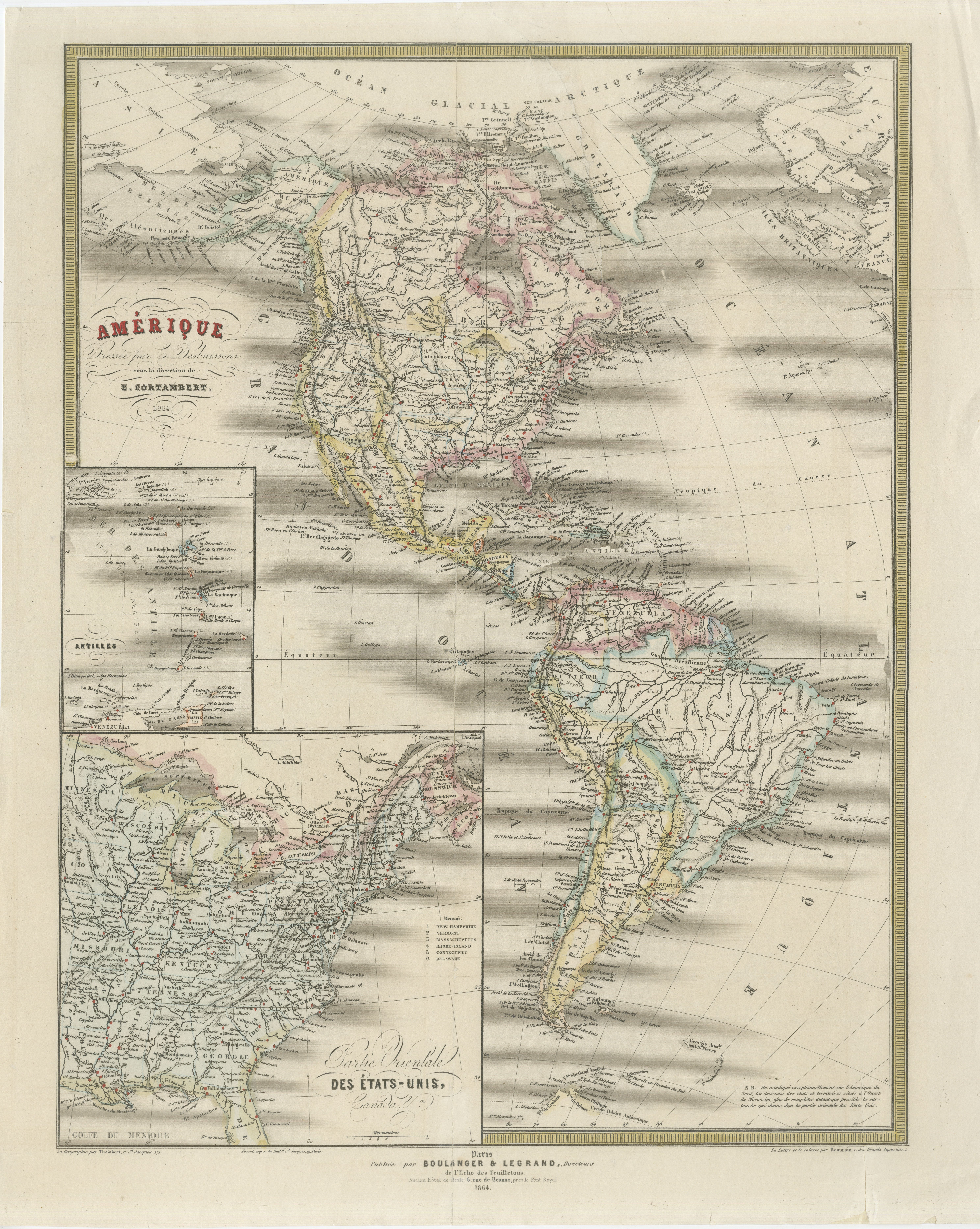
Antique Map of the Americas 1864 – North & South America, Cortambert A detailed and elegant mid-19th century map of the Americas, published in Paris in 1864 under the direction of t...

Category

Antique Mid-19th Century French Maps

Materials

Paper

Antique Map with Hand Coloring of North America and the West Indies

Antique Map with Hand Coloring of North America and the West Indies

Located in Langweer, NL

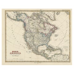
Original antique map titled 'Nord-America'. Old map of North America and the West Indies. This map originates from Stielers Handatlas, published circa 1879. Stielers Handatlas (a...

Category

Antique Late 19th Century Maps

Materials

Paper

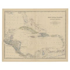
Antique Map of Central America and the West Indies, 1882

Antique Map of Central America and the West Indies, 1882

Located in Langweer, NL

Antique map titled 'West India Islands and Central America'. Old map of Central America and the West Indies. This map originates from 'The Royal Atlas of Modern Geography, Exhibiting...

Category

Antique 19th Century Maps

Materials

Paper

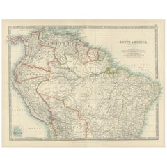
Map of Northern South America – Vibrant Engraving by Keith Johnston, 1903

Map of Northern South America – Vibrant Engraving by Keith Johnston, 1903

Located in Langweer, NL

Map of Northern South America – Vibrant Engraving by Keith Johnston, 1903 This beautifully engraved map titled "South America: Northern Sheet" was created by Keith Johnston, F.R.G.S...

Category

Early 20th Century Maps

Materials

Paper