Want more images or videos?
Request additional images or videos from the seller
1 of 14

John Norden
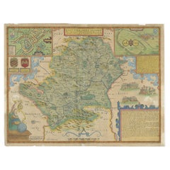
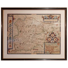
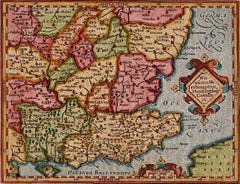
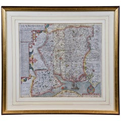
Map of Hampshire County, Britain/England, from Camden's" Britannia" in 1607

1607

Price:$1,475

You May Also Like

Hampshire County, Britain/England: A Map from Camden's" Britannia" in 1607

Hampshire County, Britain/England: A Map from Camden's" Britannia" in 1607

By John Norden

Located in Alamo, CA

An early hand-colored map of Britain's Hampshire county, published in the 1607 edition of William Camden's great historical description of the British Isles, "Britannia". This map was drawn by cartographer John Norden (c. 1547-1625) and engraved by William Hole (active 1607-1624) and William Kip...

Category

Antique Early 17th Century English Maps

Materials

Paper

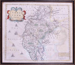
17th Century map of Cumberland, UK by Robert Morden

17th Century map of Cumberland, UK by Robert Morden

Located in Petworth, West Sussex

Robert Morden (British, circa 1650 – 1703) A map of Cumberland with hand colouring An engraving 14.1/4 x 16.5/8 in. (36.5 x 42.5 cm.)

Category

17th Century Academic Landscape Prints

Materials

Engraving

Antique Map of Hertfordshire in England by Speed, 1627

Antique Map of Hertfordshire in England by Speed, 1627

Located in Langweer, NL

Antique map titled 'Hartfordshire described the sittuations of Hartford (..)'. Map of Hertfordshire, England. Includes inset maps of Hertford and the Roman settlement of Verolani...

Category

Antique 17th Century Maps

Materials

Paper

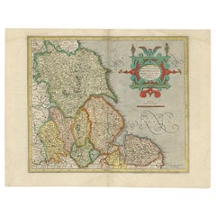
Antique Map of the Northeast of England by Mercator 'circa 1620'

Antique Map of the Northeast of England by Mercator 'circa 1620'

Located in Langweer, NL

Antique map titled 'Eboracum Lincolnia, Derbia, Staffordia, Notinghamia, Lecestria, Rutlandia, et Norfolcia'. Decorative early map of the northeast of England, comprising the countie...

Category

Antique Early 17th Century Maps

Materials

Paper

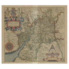
Antique Map of Gloucestershire by Camden, c.1607

Antique Map of Gloucestershire by Camden, c.1607

$282

H 13.39 in W 14.57 in D 0 in

Antique Map of Gloucestershire by Camden, c.1607

Located in Langweer, NL

Antique map titled 'Glocestriae comitatus olim sedes Dobunorum'. Map of Gloucestershire, England. This map originates from Camden?s 'Britannia' ...

Category

Antique 17th Century Maps

Materials

Paper

Antique Map of Essex by Overton, circa 1710

Antique Map of Essex by Overton, circa 1710

$893Sale Price|20% Off

H 19.49 in W 24.41 in D 0.6 in

Antique Map of Essex by Overton, circa 1710

Located in Langweer, NL

Antique map titled 'Essex, devided into Hundreds, with the most antient and fayre Towne Colchester (..)'. Map of Essex, England. Includes an inset town pl...

Category

Antique Early 18th Century Maps

Materials

Paper

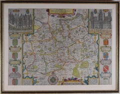
John Speede, Map of the County of Surrey, described and divided into hundreds

John Speede, Map of the County of Surrey, described and divided into hundreds

By John Speed

Located in London, GB

To see our other views and maps of England - including London, Oxford and Cambridge, scroll down to "More from this Seller" and below it click on "See all from this Seller" - or send us a message if you cannot find the view you want. John Speed/Speede (1551/2-1629) The County of Surrey Described and Divided into Hundreds Engraving with later hand colouring and text to the reverse.  Dated to c.1650 36 x 49 cm Probably the most famous early English mapmaker, John Speed's early life is somewhat of an enigma. He is believed to have trained as a rolling-press printer, but he was at heart an historian granted a sinecure in the Customs House by Queen Elizabeth to indulge his passion, later becoming a Fellow of the Society of Antiquaries. His first maps were historical, of the Holy Land 'Canaan as it was Possessed both in Abraham and Israels Dayes' and of England and Ireland recording 'all their Civill Warres since the Conquest'. In 1611 he published his 'Hostory of Great Britaine' which he regarded as his magnum opus, but it was the companion atlas 'Theatre of the Empire of Great Britaine' that - as the first printed atlas of Great Britain - sealed his reputation. William Rogers engraved the first map, 'the County Palatine of Chester' in about 1600, but following his untimely death the task of engraving was passed to Jodocus Hondius of Amsterdam. By 1612 the atlas was complete, the maps famed for their decorative elements. Many have town plans - Britain's first series of such plans - and descriptive text was printed to the reverse until the 1676 edition. Later printings (up until 1770) were issued without this text. By 1627 it has become a part of a world atlas 'Prospect of the Most Famous Parts of the World'. During the 17th century the plates passed through the hands of a series of publishers, the 1676 edition of Thomas Bassett and Richard Chiswell being regarded as its high point with the inclusion for the first time of a series of important maps. For the first half of the eighteenth century they were firmly established in the hands of the Overton family. This particular edition originally featured in The Theatre Of The Empire Of Great Britaine. It features attractive inset views of the long-since destroyed Richmond...

Category

17th Century Realist Landscape Prints
Materials

Engraving

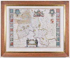
Map of Oxfordshire by Joan Blaeu with college crests

Map of Oxfordshire by Joan Blaeu with college crests

By Joan (Johannes) Blaeu

Located in London, GB

To see our other original maps, scroll down to "More from this Seller" and below it click on "See all from this Seller" - or send us a message if you cannot find the poster you want....

Category

1660s Landscape Prints

Materials

Engraving

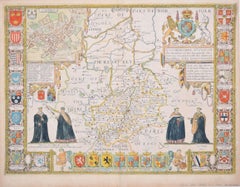
Cambridgeshire map 17th century engraving by John Speed

Cambridgeshire map 17th century engraving by John Speed

By John Speed

Located in London, GB

To see more, scroll down to "More from this Seller" and below it click on "See all from this Seller." John Speed (1551 or 1552 - 1629) Map of Cambridgeshire Engraving with later hand colouring 39 x 53 cm A beautifully coloured map of Cambridgeshire, with an antique description...

Category

1610s Landscape Prints

Materials

Engraving

Antique Map of England by Mercator/Hondius, circa 1600

Antique Map of England by Mercator/Hondius, circa 1600

$1,116

H 18.12 in W 21.66 in D 0.02 in

Antique Map of England by Mercator/Hondius, circa 1600

Located in Langweer, NL

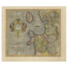
Antique map titled 'Westmorlandia, Lancastria, Caernvan, Denbigh, Flint, Merionidh, Dalopia cum issulis Mania et Anglesey'. Original antique map of England...

Category

Antique 16th Century Maps

Materials

Paper

More From This Seller

View All
England and the British Isles: A Large 17th Century Hand-colored Map by de Wit

England and the British Isles: A Large 17th Century Hand-colored Map by de Wit

By Frederick de Wit

Located in Alamo, CA

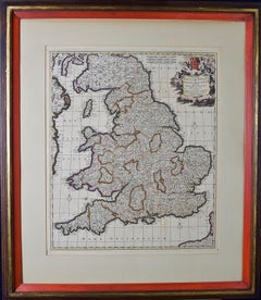
This is a large hand-colored 17th century map of England and the British Isles by Frederick de Wit entitled "Accuratissima Angliæ Regni et Walliæ Principatus", published in Amsterdam in 1680. It is a highly detailed map of England, Scotland, the Scottish Isles...

Category

Late 17th Century Other Art Style Landscape Prints

Materials

Engraving

L'Isle de France: A Hand-colored 17th Century Map by De Wit

L'Isle de France: A Hand-colored 17th Century Map by De Wit

By Frederick de Wit

Located in Alamo, CA

This colorful and detailed 17th century hand-colored copperplate map by Frederick De Wit was published in Amsterdam between 1666 and 1760. The map depicts the Île-de-France, which is one of the ancient provinces of France. Paris is located in the center of the map, with Versailles to the southwest The map extends from Rouen in the west to Reims in the east. The area around Paris, the Véxin Français, was the original domain of the king of France. Other areas were ruled by French feudal lords. For example, the Véxin Normand area was the domain of the Duke of Normandy...

Category

Early 18th Century Old Masters More Prints

Materials

Engraving