Want more images or videos?
Request additional images or videos from the seller
1 of 8

Unknown
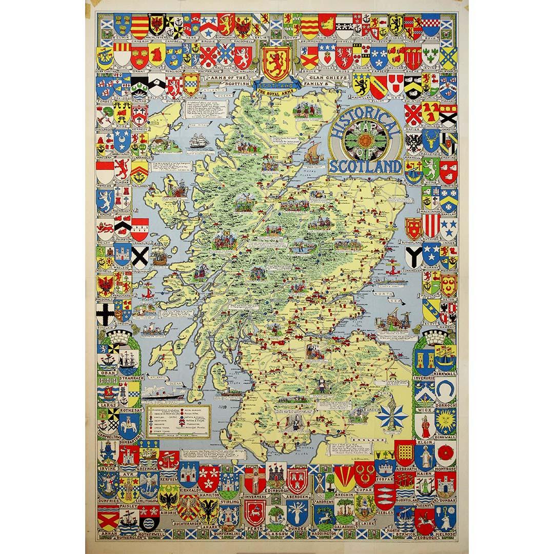
Circa 1960 Original poster titled “Scotland of Old” - Bartholomews Clan map

Circa 1960

$1,012.60
£743.80
€1,020VAT Included
CA$1,397.31
A$1,422.31
CHF 809.61
MX$17,168.37
NOK 9,440.47
SEK 9,554.30
DKK 6,481.31

About the Item

This impressive poster titled “Scotland of Old”, produced around circa 1960, is a richly detailed clan map celebrating the territorial, heraldic, and historical heritage of Scotland. Created for the renowned cartographic house John Bartholomew & Son, and associated with the heraldic scholarship of Sir Iain Moncreiffe, the map stands as both a decorative object and a serious historical synthesis. At its center, Scotland is presented in soft, contrasting colors that divide the country into the traditional clan territories and regional domains. Highlands, Lowlands, and Islands are clearly distinguished, allowing the viewer to trace the historical geography of families and ancient lordships across the landscape. The subdued central palette provides a visual counterpoint to the extraordinary richness of the surrounding border. Encircling the map is an elaborate heraldic frame composed of hundreds of clan and family coats of arms, meticulously rendered in vibrant colors. These armorial bearings form a continuous genealogical gallery, transforming the poster into a visual compendium of Scottish lineage and identity. At the top, larger royal and national arms reinforce the authority and historical scope of the composition. Sir Iain Moncreiffe was one of the 20th century’s most respected Scottish genealogists and heralds. A former officer of arms and later Lord Lyon King of Arms, he devoted much of his life to the study of Scottish clans, titles, and heraldry. His involvement lends the map scholarly credibility, ensuring that its decorative splendor is supported by serious historical and genealogical research. Produced during a period of renewed interest in national heritage and clan history, “Scotland of Old” reflects the mid-20th-century revival of pictorial and heraldic cartography. Today, this poster is highly sought after by collectors of maps, heraldry, and Scottish history. It remains a striking example of how cartography, art, and genealogy can merge into a single work that is at once educational, symbolic, and visually powerful. Original Poster Geography - Map - Scotland - United Kingdom With the country's emblems Printed by John Bartholomew & Son in Edinburgh
  • Creation Year:
    Circa 1960
  • Dimensions:
    Height: 39.38 in (100 cm)Width: 30.32 in (77 cm)
  • Medium:
  • Period:
  • Condition:
    Good condition, creases, small tears.
  • Gallery Location:
    PARIS, FR
  • Reference Number:
    1stDibs: LU1792217531232

More From This Seller

View All
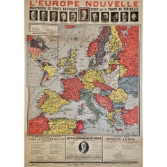
Original poster, titled “L’Europe Nouvelle” - political map of Europe

Original poster, titled “L’Europe Nouvelle” - political map of Europe

Located in PARIS, FR

This fascinating original poster, titled “L’Europe Nouvelle”, presents a vivid political map of Europe and the world as reshaped by the Treaty of Versailles, signed in 1919 at the co...

Category

1910s Prints and Multiples

Materials

Linen, Paper, Lithograph

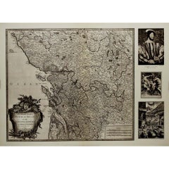
1947 original map Gouvernement Généraux du Poitou, du Pays d'Aunis

1947 original map Gouvernement Généraux du Poitou, du Pays d'Aunis

By Louis Larmat

Located in PARIS, FR

The 1947 original map Gouvernement Généraux du Poitou, du Pays d'Aunis et de Saintonge Angoumois, created by Louis Larmat and printed by Dorel in Paris, is a beautifully detailed cartographic representation of a historically significant region in western France. This map, part of Larmat’s extensive body of work, is known for its artistic craftsmanship and geographical precision, offering a comprehensive view of the historical administrative regions of Poitou, Aunis, Saintonge, and Angoumois, which played key roles in the political and cultural history of France. Louis Larmat is celebrated for his contributions to cartography, particularly for his ability to merge historical context, topographical detail, and aesthetic elegance in his maps. His works, especially those focusing on the vinicultural regions of France, are highly respected for their accuracy and artistry. This particular map, although focusing on a more political and historical aspect rather than the wine regions he is most famous for, continues his tradition of detailed regional documentation. Larmat’s cartographic works often transcended the realm of simple geographical depiction, becoming historical documents that encapsulate the cultural essence of the regions they portray. This map illustrates the general governments (administrative divisions) of the provinces of Poitou, Aunis, Saintonge, and Angoumois, regions that are steeped in history. These areas, situated along France’s western coastline, have been integral to the country’s political, economic, and cultural development over centuries. The region of Poitou, for example, is historically known as the birthplace of Eleanor of Aquitaine...

Category

1940s Prints and Multiples

Materials

Paper, Lithograph

You May Also Like

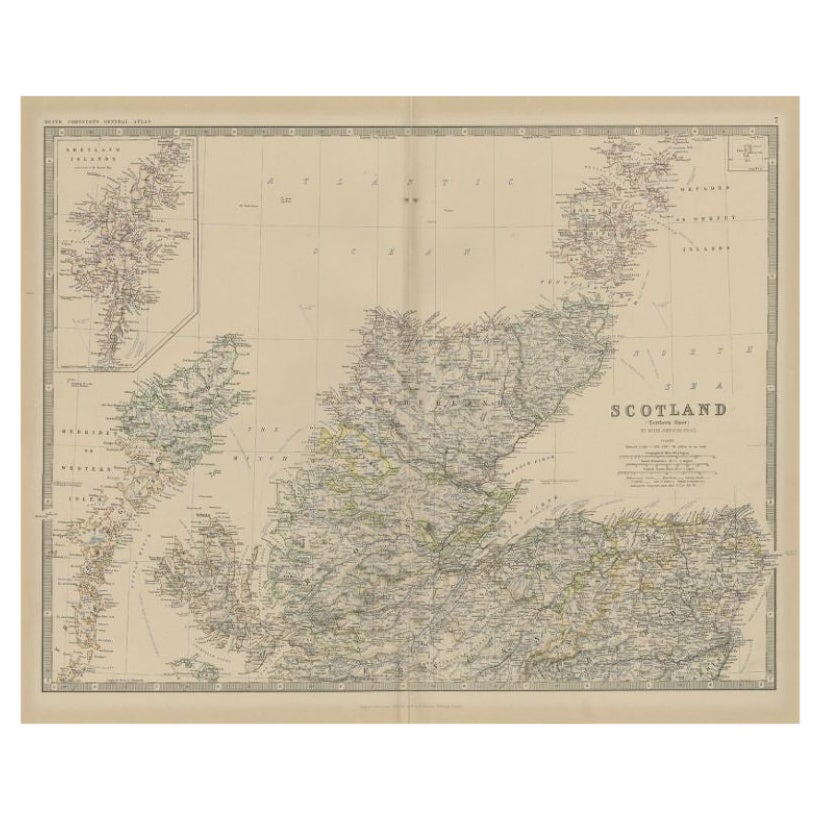
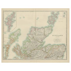
Antique Map of Scotland 'Northern' by Johnston, '1909'

Antique Map of Scotland 'Northern' by Johnston, '1909'

Located in Langweer, NL

Antique map titled 'Scotland'. Original antique map of Scotland. With inset map of the Shetland Islands. This map originates from the ‘Royal Atlas of M...

Category

Early 20th Century Maps

Materials

Paper

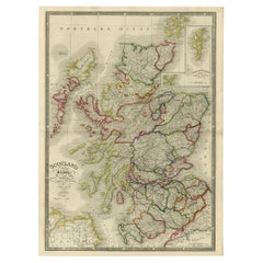
Antique Map of Scotland, 1885 – Highlands, Counties & Coastal Detail

Antique Map of Scotland, 1885 – Highlands, Counties & Coastal Detail

Located in Langweer, NL

Antique Map of Scotland, 1885 – Highlands, Counties & Coastal Detail This striking antique map of Scotland was published in 1885 by George W. Bacon in London as part of the *New Lar...

Category

Antique Late 19th Century British Maps

Materials

Paper

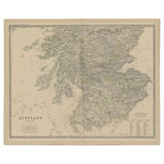
Antique Map of Southern Scotland by Johnston, 1882

Antique Map of Southern Scotland by Johnston, 1882

Located in Langweer, NL

"Antique map titled 'Scotland'. Old map of Southern Scotland. This map originates from 'The Royal Atlas of Modern Geography, Exhibiting, in a Series of Entirely Original and Authenti...

Category

Antique 19th Century Maps

Materials

Paper

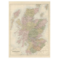
Antique Map of Southern Scotland, 1903, with Coastal and Inland Details

Antique Map of Southern Scotland, 1903, with Coastal and Inland Details

Located in Langweer, NL

Title: Antique Map of Southern Scotland, 1903, with Coastal and Inland Details Description: This exquisite antique map, titled "Scotland (Southern Sheet I)," was engraved and publis...

Category

Early 20th Century Maps

Materials

Paper