Want more images or videos?
Request additional images or videos from the seller
1 of 3

Unknown
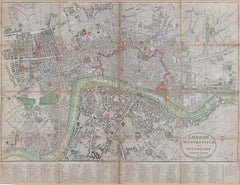
London, City and West End. Antique Map City Plan Chromolithograph, circa 1895

1895

Price:$80
$95List Price

You May Also Like

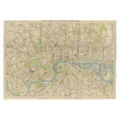
Vintage Map of London – Bartholomew’s Plan of Central London, c.1929

Vintage Map of London – Bartholomew’s Plan of Central London, c.1929

Located in Langweer, NL

London Central Map c.1929 – Bartholomew Antique City Plan This detailed city plan, titled “Bartholomew’s Plan of London, Central Area,” was published by John Bartholomew & Son, Edin...

Category

Early 20th Century Scottish Maps

Materials

Paper

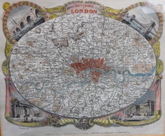
Antique Map of London by Thomas Moule and William Schmollinger

Antique Map of London by Thomas Moule and William Schmollinger

Located in Rochester, NY

Decorative engraved map of London by William Schmollinger for Moule's English County maps. Hand colored. Circa 1830's.

Category

Antique Early 19th Century English Prints

Materials

Paper

Antique Map of the City of London by Balbi '1847'

Antique Map of the City of London by Balbi '1847'

$188Sale Price|20% Off

H 9.06 in W 11.23 in D 0.02 in

Antique Map of the City of London by Balbi '1847'

Located in Langweer, NL

Antique map titled 'London'. Original antique map of the city of London. This map originates from 'Abrégé de Géographie (..)' by Adrien Balbi. Published 1847.

Category

Antique Mid-19th Century Maps

Materials

Paper

Antique London Atlas Maps, Elegant Four Sheet Wall Display, 1885

Antique London Atlas Maps, Elegant Four Sheet Wall Display, 1885

$1,414 / set

H 13.39 in W 19.69 in D 0.01 in

Antique London Atlas Maps, Elegant Four Sheet Wall Display, 1885

Located in Langweer, NL

Antique London Atlas Maps, Elegant Four Sheet Wall Display, 1885 London Urban Cartography 1880s, Ordnance Survey Atlas Plans. Description: A striking four-sheet set of antique Lond...

Category

Antique Late 19th Century British Maps

Materials

Paper

Victorian Birmingham City Plan Map – Edward Weller 1885, Workshop of the World

Victorian Birmingham City Plan Map – Edward Weller 1885, Workshop of the World

Located in Langweer, NL

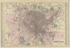
Victorian Birmingham City Plan Map – Edward Weller 1885, Workshop of the World This highly detailed original lithographic city plan of Birmingham was engraved and published by Edwar...

Category

Antique Late 19th Century British Maps

Materials

Paper

Antique Edinburgh City Map 1885, Victorian Ordnance Atlas Plan by G.W. Bacon

Antique Edinburgh City Map 1885, Victorian Ordnance Atlas Plan by G.W. Bacon

Located in Langweer, NL

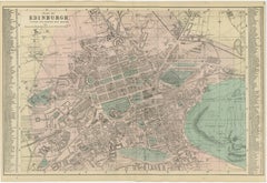
Antique Edinburgh City Map 1885, Victorian Ordnance Atlas Plan by G.W. Bacon A finely detailed antique city plan of Edinburgh, published in 1885 by the London cartographer George W. Bacon as part of the New Large Scale Ordnance Atlas of the British Isles with Plans of Towns. Based on official Ordnance and actual surveys, the map documents the Scottish capital during a period of remarkable industrial growth and urban transformation in the late Victorian era. The plan presents Edinburgh with exceptional clarity, illustrating streets, railway lines, public buildings, squares, and expanding residential districts at a time when modern infrastructure reshaped historic European cities. The precise grid system and indexed layout reflect the practical surveying purpose of the atlas while simultaneously producing a striking architectural composition appreciated today for its decorative qualities. Soft original hand coloring highlights parks, waterways, and key districts, creating visual contrast between dense urban development and open green spaces. Areas such as The Meadows and surrounding parklands introduce balance and rhythm across the composition, enhancing both readability and aesthetic appeal. The map captures Edinburgh before major twentieth-century redevelopment, preserving a valuable historical record of the Victorian cityscape. George W. Bacon was one of the leading London publishers of accessible yet highly accurate cartographic works in the nineteenth century. His atlas plans translated official survey information into elegant engraved maps suitable for both reference and display, and today they are increasingly valued for their blend of historical importance and interior design appeal. This example functions equally as a scholarly document and a refined decorative artwork, ideal for collectors of antique cartography, Scottish historical material, or designers seeking an intellectually engaging statement piece for contemporary or traditional interiors. Condition Good antique condition overall. Light age-related toning and scattered spotting consistent with age. Minor handling wear to the margins and faint fold lines as issued. Presents attractively and frames well. Framing Tips Best presented in a dark walnut, black, or ebonized frame with a generous ivory or museum-white mat. A wider mat enhances the architectural detail and gives the map a calm gallery presence suitable for studies, libraries, or modern interiors. Technique: Lithograph with original hand color Maker: George W. Bacon, London, 1885 Keyword Block antique map, Edinburgh map, Scotland map...

Category

Antique Late 19th Century British Maps
Materials

Paper

Victorian Bradford Street Plan Map – Edward Weller 1885, Wool Capital

Victorian Bradford Street Plan Map – Edward Weller 1885, Wool Capital

Located in Langweer, NL

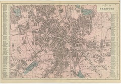
Victorian Bradford Street Plan Map – Edward Weller 1885, Wool Capital This highly detailed original lithographic city plan of Bradford was engraved and published by Edward Weller in...

Category

Antique Late 19th Century British Maps
Materials

Paper

Wonderground Map of London by MacDonald 'Max' Gill c. 1924 original poster

Wonderground Map of London by MacDonald 'Max' Gill c. 1924 original poster

By "Leslie MacDonald ""Max"" Gill"

Located in London, GB

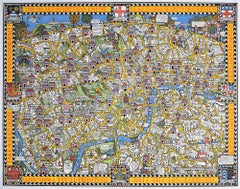
To see our other original vintage posters and views of London (including original paintings), scroll down to "More from this Seller" and below it click on "See all from this Seller" ...

Category

1920s Modern Landscape Prints

Materials

Lithograph

More From This Seller

View All
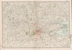
Vicinity of London, England, United Kingdom. Century Atlas antique map

Vicinity of London, England, United Kingdom. Century Atlas antique map

Located in Melbourne, Victoria

'The Century Atlas. Vicinity of London, England, United Kingdom.' Original antique map, 1903. Central fold as issued. Map name and number printed on the reverse corners. Sheet 29.5...

Category

Early 20th Century Victorian More Prints

Materials

Lithograph

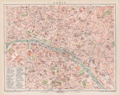
Paris, France. Antique Map City Plan Chromolithograph, circa 1895

Paris, France. Antique Map City Plan Chromolithograph, circa 1895

Located in Melbourne, Victoria

'Paris' Colour lithograph. 1895. 250mm by 305mm (sheet). Late 19th century German lithograph plan of Paris, France. Central vertical fold. Printed street index on the reverse o...

Category

Late 19th Century Victorian More Prints

Materials

Lithograph

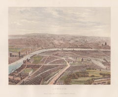
London, England, birds-eye view, chromolithograph, c1870

London, England, birds-eye view, chromolithograph, c1870

Located in Melbourne, Victoria

London, England, birds-eye view, chromolithograph, c1870 published by William Collins. 175mm by 225mm (image) 270mm by 335mm (sheet)

Category

Late 19th Century Naturalistic Landscape Prints

Materials

Lithograph

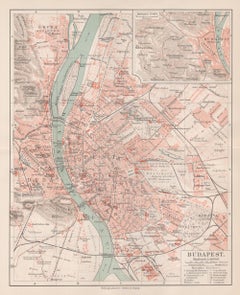
Budapest, Hungary. Antique Map City Plan Chromolithograph, circa 1901.

Budapest, Hungary. Antique Map City Plan Chromolithograph, circa 1901.

Located in Melbourne, Victoria

'Budapest' Colour lithograph. 1901. 305mm by 240mm (sheet). Late 19th century German lithograph plan of Budapest, Hungary. Central horizontal fold.

Category

Late 19th Century Victorian More Prints

Materials

Lithograph

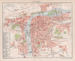
Prague, Czechoslovakia. Antique Map City Plan Chromolithograph, circa 1895

Prague, Czechoslovakia. Antique Map City Plan Chromolithograph, circa 1895

Located in Melbourne, Victoria

'Prag' Colour lithograph. 1895. 250mm by 305mm (sheet). Late 19th century German lithograph plan of Prague, Czechoslovakia. Central vertical fold. Printed street index on the ...

Category

Late 19th Century Victorian More Prints

Materials

Lithograph

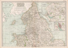
England and Wales, Northern Part. Century Atlas antique vintage map

England and Wales, Northern Part. Century Atlas antique vintage map

Located in Melbourne, Victoria

'The Century Atlas. England and Wales, Northern Part' Original antique map, 1903. Central fold as issued. Map name and number printed on the reverse corners. Sheet 29.5cm by 40cm.

Category

Early 20th Century Victorian More Prints

Materials

Lithograph