Want more images or videos?
Request additional images or videos from the seller
1 of 6

Unknown
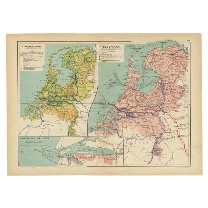
The Netherlands (Holland), Belgium and Luxemburg. Century Atlas antique map

1903

$85
£64.01
€74.80
CA$120.43
A$133.06GST Included
CHF 70.14
MX$1,475.91
NOK 811.71
SEK 832.86
DKK 559.13

About the Item

'The Century Atlas. The Netherlands (Holland), Belgium and Luxemburg.' Original antique map, 1903. Inset maps of 'Amsterdam' and 'Brussels'. Central fold as issued. Map name and number printed on the reverse corners. Sheet 40cm by 29.5cm.
  • Creation Year:
    1903
  • Dimensions:
    Height: 15.75 in (40 cm)Width: 11.62 in (29.5 cm)
  • Medium:
  • Movement & Style:
  • Period:
  • Condition:
  • Gallery Location:
    Melbourne, AU
  • Reference Number:
    1stDibs: LU1244211224912

More From This Seller

View All
France, Northern Part. Century Atlas antique map

France, Northern Part. Century Atlas antique map

Located in Melbourne, Victoria

'The Century Atlas. France, Northern Part.' Original antique map, 1903. Inset maps of 'France in Provinces' and 'Paris and Vicinity'. Central fold as issued. Map name and number pr...

Category

Early 20th Century Victorian More Prints

Materials

Lithograph
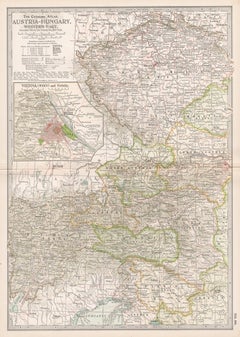
Austria-Hungary, Western Part. Century Atlas antique vintage map

Austria-Hungary, Western Part. Century Atlas antique vintage map

Located in Melbourne, Victoria

'The Century Atlas. Austria-Hungary, Western Part' Original antique map, 1903. Central fold as issued. Map name and number printed on the reverse corners. Sheet 40cm by 29.5cm.

Category

Early 20th Century Victorian More Prints

Materials

Lithograph
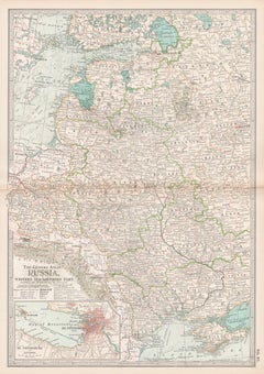
Russia, Western and Southern Part. Century Atlas antique vintage map

Russia, Western and Southern Part. Century Atlas antique vintage map

Located in Melbourne, Victoria

'The Century Atlas. Russia, Western and Southern Part' Original antique map, 1903. Inset map tilted 'St Petersburg and Environs'. Central fold as issued. Map name and number printe...

Category

Early 20th Century Victorian More Prints

Materials

Lithograph
Denmark. Century Atlas antique vintage map

Denmark. Century Atlas antique vintage map

Located in Melbourne, Victoria

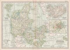
'The Century Atlas. Denmark' Original antique map, 1903. Inset maps of 'Faroe Islands', 'Iceland' and 'Copenhagen'. Central fold as issued. Map name and number printed on the reve...

Category

Early 20th Century Victorian More Prints

Materials

Lithograph
You May Also Like

Benelux Antique Map – Netherlands, Belgium & Luxembourg by Perthes, 1857

Benelux Antique Map – Netherlands, Belgium & Luxembourg by Perthes, 1857

Located in Langweer, NL

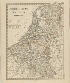
1857 Map of Netherlands, Belgium & Luxembourg – Justus Perthes Engraving Antique map titled "Niederlande, Belgien und Luxemburg," published by Justus Perthes in Gotha in 1857. This...

Category

Antique Mid-19th Century German Maps

Materials

Paper

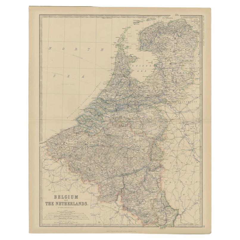
Antique Map of Belgium and the Netherlands by Johnston, 1882

Antique Map of Belgium and the Netherlands by Johnston, 1882

By Alexander Keith Johnston

Located in Langweer, NL

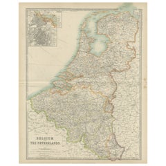
Antique map titled 'Belgium and the Netherlands'. Old map of Belgium and the Netherlands. This map originates from 'The Royal Atlas of Modern Geography, Exhibiting, in a Series of En...

Category

Antique 19th Century Maps

Materials

Paper