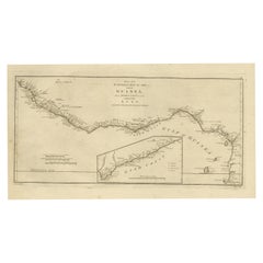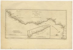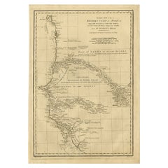
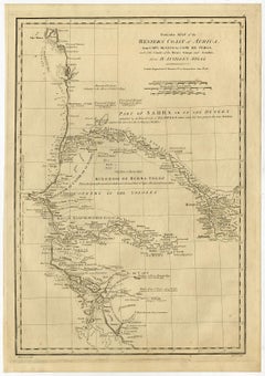
Map of the West African coast from the North of Mauretania to Guinee, 1788
$354Sale Price|20% Off
Map of the West African coast from the North of Mauretania to Guinee, 1788
Located in Langweer, NL
The locations of several kingdoms are indicated, as well as the Sahara. Published by J. Harrison, 1788. Artists and Engravers: Made by 'Bowen' after 'Haywood'.
Category
Antique 1780s English Maps
Materials
Paper