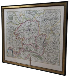
Emanuel Bowen More Furniture and Collectibles

to
2
2
2
2
1
1
2
2
2
1
226
213
211
185
Creator: Emanuel Bowen
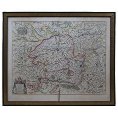
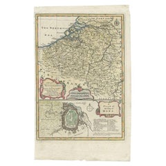
Antique Map of the Netherlands and Belgium by Bowen, 1747

Antique Map of the Netherlands and Belgium by Bowen, 1747

By Emanuel Bowen

Located in Langweer, NL

Antique map Belgium titled 'A New and Accurate Map of the Netherlands or Low Countries'. Detailed map of South of the Netherlands and Belgium. With large inset of the city of Mons, B...

Category

18th Century Antique Emanuel Bowen More Furniture and Collectibles

Materials

Paper

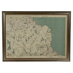
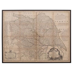
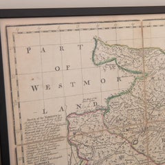
18th Century Emanuel Bowen Map of County of York, c.1740

18th Century Emanuel Bowen Map of County of York, c.1740

By Emanuel Bowen

Located in Royal Tunbridge Wells, Kent

Antique 18th century British rare and original Emanuel Bowen (1694-1767) map of the County of York divided into its Ridings and subdivided into wapontakes, mounted in solid wood fram...

Category

Early 18th Century British Antique Emanuel Bowen More Furniture and Collectibles

Materials

Paper

Related Items
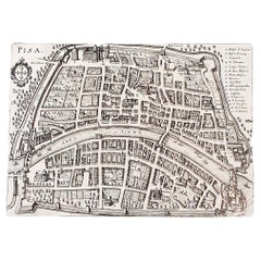
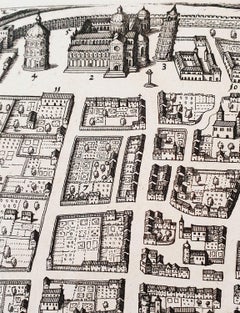
Antique Map of Pisa by Matthäus Merian the Elder, Engraved, 1640

Antique Map of Pisa by Matthäus Merian the Elder, Engraved, 1640

By Matthäus Merian the Elder

Located in Florence, Tuscany

An antique map of the Tuscan city of Pisa engraved for The 'Itinerarium Italiæ Nov-antiquæ' by Matthäus Merian the Elder and printed in 1640....

Category

1640s Italian Antique Emanuel Bowen More Furniture and Collectibles

Materials

Paper

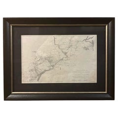
1807 "A Map of the Country..." by Samuel Lewis, Revolutionary War Map

1807 "A Map of the Country..." by Samuel Lewis, Revolutionary War Map

Located in Colorado Springs, CO

Presented is “A Map of the Country from Rariton River in East Jersey to Elk Head in Maryland, Shewing the several Operations of the American and British Armies, in 1776 & 1777.”  The...

Category

Early 1800s American Federal Antique Emanuel Bowen More Furniture and Collectibles

Materials

Paper

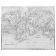
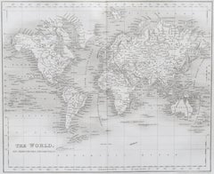
Original Antique Map of The World by Dower, circa 1835

Original Antique Map of The World by Dower, circa 1835

Located in St Annes, Lancashire

Nice map of the World Drawn and engraved by J.Dower Published by Orr & Smith. C.1835 Unframed. Free shipping

Category

1830s English Antique Emanuel Bowen More Furniture and Collectibles

Materials

Paper

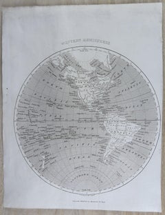
Original Antique Map of The World by Thomas Clerk, 1817

Original Antique Map of The World by Thomas Clerk, 1817

$90 / set

H 10.25 in W 8.25 in D 0.07 in

Original Antique Map of The World by Thomas Clerk, 1817

Located in St Annes, Lancashire

Great map of The Eastern and Western Hemispheres On 2 sheets Copper-plate engraving Drawn and engraved by Thomas Clerk, Edinburgh. Published by Mackenzie And Dent, 1817 ...

Category

1810s English Antique Emanuel Bowen More Furniture and Collectibles

Materials

Paper

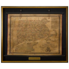
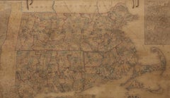
1854 Map of Massachusetts, Connecticut and Rhode Island, Antique Wall Map

1854 Map of Massachusetts, Connecticut and Rhode Island, Antique Wall Map

Located in Colorado Springs, CO

This striking wall map was published in 1854 by Ensign, Bridgman & Fanning and has both full original hand-coloring and original hardware. This impression is both informative and highly decorative. The states are divided into counties, outlined in red, green, and black, and subdivided into towns. Roads, canals, and railroad lines are prominently depicted, although they are not all labeled. The mapmakers also marked lighthouses, banks, churches, and prominent buildings, with a key at right. The map is an informative and comprehensive overview of the infrastructural development of New England prior to the Civil War. Physical geographies depicted include elevation, conveyed with hachure marks, rivers and lakes. The impression features an inset map of Boston...

Category

19th Century American Antique Emanuel Bowen More Furniture and Collectibles

Materials

Paper

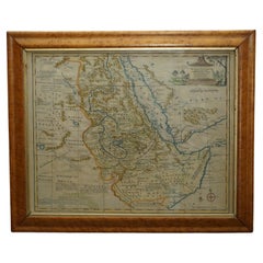
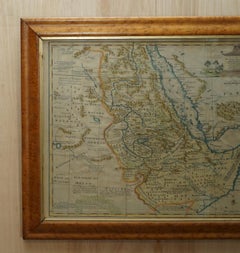
London 1744 Published Watercolour Antique Map of East Africa by Eman Bowen

London 1744 Published Watercolour Antique Map of East Africa by Eman Bowen

Located in West Sussex, Pulborough

We are delighted to offer for sale this New and Accurate Map of Nubia & Abissinia, together with all the Kingdoms Tributary Thereto, and bordering upon them published in 1744 by Emanuel Bowen This is a decorative antique engraved map of East Africa...

Category

1740s English George III Antique Emanuel Bowen More Furniture and Collectibles

Materials

Paper

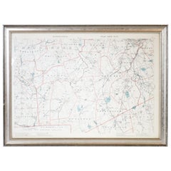
1891 Map of Norfolk County Massachusetts

1891 Map of Norfolk County Massachusetts

Located in Norwell, MA

1891 map of Norfolk county Massachusetts including the towns of Wrentham, Franklin, Medfield, Sherborn, Norwood etc., measures: 23 x 31.

Category

19th Century Antique Emanuel Bowen More Furniture and Collectibles

Large Decorative Map of Westchester County New York 1931 – Linen-Backed Wall Map

Large Decorative Map of Westchester County New York 1931 – Linen-Backed Wall Map

Located in Langweer, NL

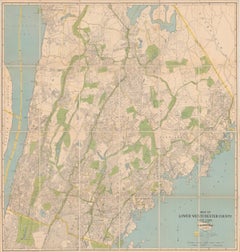
Large Decorative Map of Westchester County NY 1931 – Linen-Backed Wall Map Description: This impressive large-format decorative map of Lower Westchester County was published in 1931 by Dolph & Stewart and presents a richly detailed snapshot of suburban New York on the eve of major mid-20th-century expansion. Covering the area from Tarrytown in the north to just below the New York City boundary in the south, the map captures the dense network of towns, streets, rail lines, parks, and waterways that defined Westchester’s early commuter landscape. Prominently shown are Yonkers, Mount Vernon, New Rochelle, Rye, Scarsdale, White Plains, Harrison, Mamaroneck, Bronxville, Pelham, and Eastchester, with parts of the Bronx—including Van Cortlandt Park and Woodlawn Cemetery—clearly delineated along the southern edge. The Hudson River defines the western boundary, with a sliver of New Jersey visible beyond, while the northeastern portion extends into Connecticut. Parks and golf courses are highlighted in green, bodies of water in blue, and transportation routes—including railroads, stations, and ferry connections—are clearly identified. Below the main map is an extensive street and avenue index, making this not only a visually striking wall piece but also a fascinating historical reference. The cartography reflects early 20th-century planning priorities, emphasizing transportation infrastructure and residential development during a formative period for Westchester County as a desirable suburban extension of New York City. This example has been dissected and mounted on linen, as issued, allowing the large sheet to fold neatly while also making it especially suitable for framing. With its balanced pastel palette, fine linework, and substantial scale, the map works beautifully as a statement piece in both classic and modern interiors—particularly appealing to interior designers, architects, and collectors of American cartography. Condition: Issued folding, dissected and mounted on linen. Minor toning along some fold lines, with light foxing and a small amount of soiling near the upper edge. Overall a well-preserved and attractive example, with strong color and excellent legibility throughout. Framing tips: This map presents best framed without glass glare in a large, clean-lined frame. A natural oak, walnut, or muted black frame with a narrow off-white or soft ivory mat will emphasize the scale and detail without overpowering the composition. For a more architectural look, consider float-mounting to reveal the linen backing. Keywords: Westchester County map, Lower Westchester, New York map, 1931 map, antique New York map, Westchester wall map, linen backed map, Yonkers map, White Plains map, Scarsdale map, New Rochelle map, Rye NY map, Mount Vernon map, Bronxville map, Pelham map, Eastchester map, Harrison NY map, Mamaroneck map, Tarrytown map, Hudson River map...

Category

1930s American Vintage Emanuel Bowen More Furniture and Collectibles
Materials

Linen, Paper

Antique Map of France by T. Bowen, Paper Engraving, Late 18th Century

Antique Map of France by T. Bowen, Paper Engraving, Late 18th Century

Located in Langweer, NL

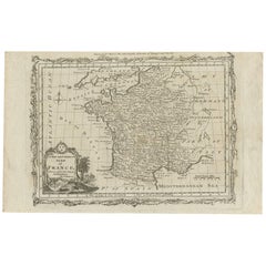
Decorative antique map of France titled 'A new and accurate map of France, Drawn from the latest Authorities by T. Bowen'. Engraved for Moore’s new and complete collection of Voyages...

Category

Late 18th Century British Antique Emanuel Bowen More Furniture and Collectibles

Materials

Paper

Antique Map of Moscovy 'Russia' by E. Bowen, 1747

Antique Map of Moscovy 'Russia' by E. Bowen, 1747

$376

H 14.1 in W 9.73 in D 0.02 in

Antique Map of Moscovy 'Russia' by E. Bowen, 1747

Located in Langweer, NL

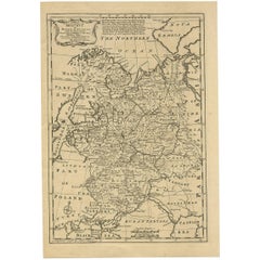
Beautiful map of European Russia by the English cartographer Emmanuel Bowen. It depicts the European portion of Russia extending from the Gulf of Finland to the Ural Mountains. The m...

Category

Mid-18th Century Antique Emanuel Bowen More Furniture and Collectibles
Materials

Paper

1891 Map of Plymouth County Mass

1891 Map of Plymouth County Mass

$595

H 23 in W 31 in D 2 in

1891 Map of Plymouth County Mass

Located in Norwell, MA

Original 1891 map showing Sandwich, Bourne, Plymouth Carver, Middleborough, Plympton and Kingston. Showing Long Beach in Plymouth also as well as all shore points. Cape Cod Bay is ma...

Category

1890s North American Antique Emanuel Bowen More Furniture and Collectibles
Materials

Paper

Emanuel Bowen more furniture and collectibles for sale on 1stDibs.

Emanuel Bowen more furniture and collectibles are available for sale on 1stDibs. These distinctive items are frequently made of paper and are designed with extraordinary care. There are many options to choose from in our collection of Emanuel Bowen more furniture and collectibles, although brown editions of this piece are particularly popular. If you’re looking for additional options, many customers also consider more furniture and collectibles by John Cary, Captain Greenvile Collins, and John Ogilby. Prices for Emanuel Bowen more furniture and collectibles can differ depending upon size, time period and other attributes — on 1stDibs, these items begin at $234 and can go as high as $985, while a piece like these, on average, fetch $609.