1802 Johann Walch Map of Australasia and the South Pacific - European Exploration Routes
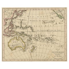
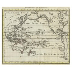
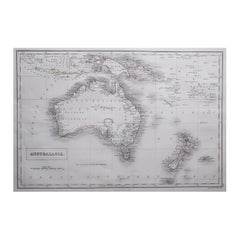
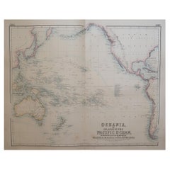
This 1802 map by Johann Walch provides a highly detailed view of Australasia and the South Pacific, capturing the region’s exploration history by Europeans. Spanning from Sumatra to Pitcairn Island, the map highlights place names in Australia, New Zealand, and numerous Pacific islands. The Australian continent's recognizable outline pre-dates Matthew Flinders' full circumnavigation. The routes of explorers like Tasman, Cook, Bougainville, and others are clearly marked, reflecting Europe's fascination with the Pacific during the 18th century. It also details early Dutch encounters, with references to notable explorers such as Janszoon, Hartog, and Carstensz.
The simple oval cartouche in the top right and a scale in the lower right frame the map, while the lower left contains a note explaining how Cook's voyages and other circumnavigations are depicted, emphasizing the contemporary interest in maritime exploration.
The map includes the routes of several important European explorers of the Pacific and Australasia:
1. Abel Tasman (1642-1643) - His voyage around the south of Australia, including the discovery of Tasmania (which he named Van Diemen's Land), New Zealand, Tonga, and Fiji. Tasman was the first European to sight many of these places.
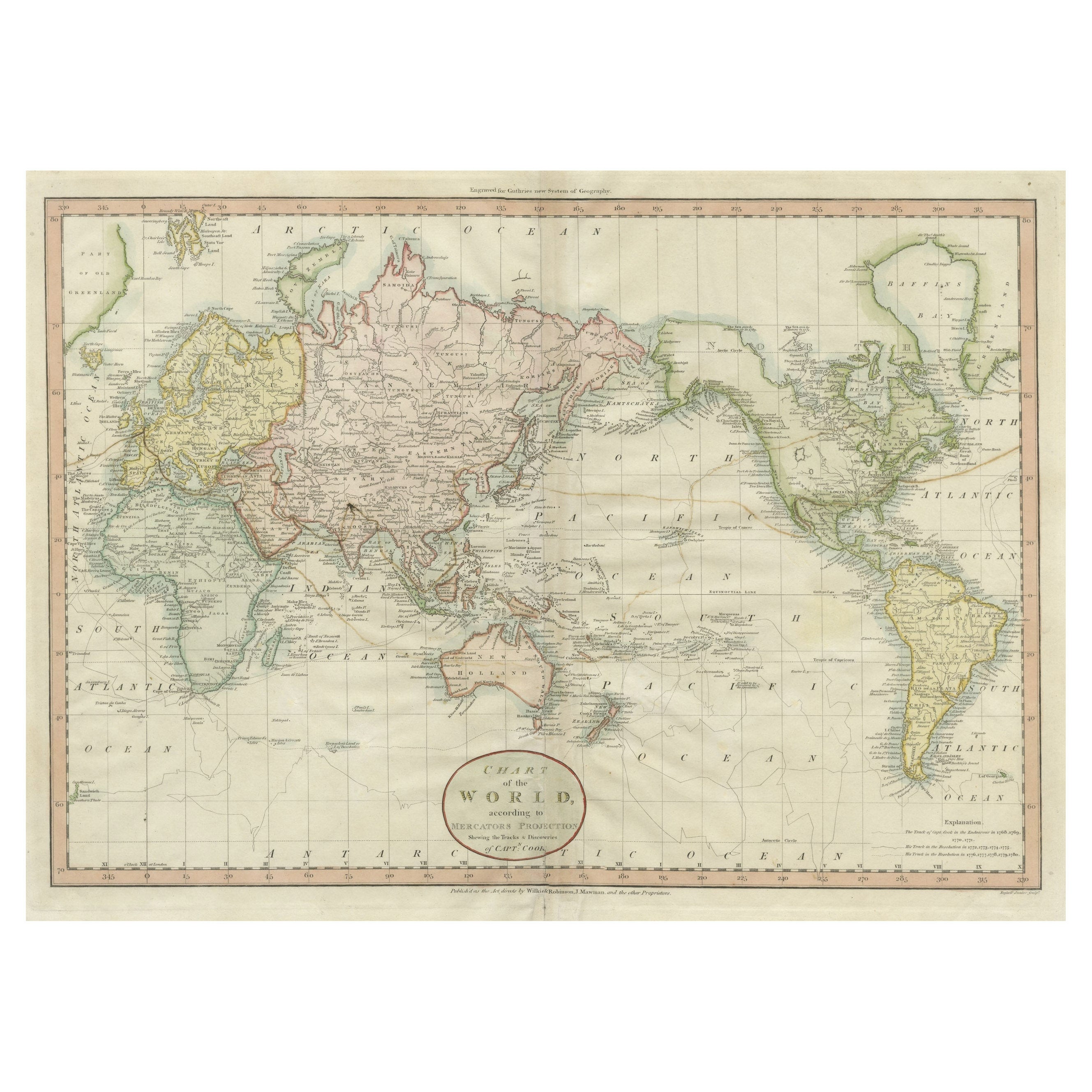
2. James Cook (1768-1779) - All three of Cook's significant voyages are marked:
- The first voyage (1768-1771) took him to Tahiti to observe the Transit of Venus, and he extensively charted New Zealand and the eastern coast of Australia.
- The second voyage (1772-1775) aimed to find the hypothetical southern continent. Cook disproved its existence by crossing the Antarctic Circle multiple times.
- The third voyage (1776-1780) sought the Northwest Passage, leading him to the North Pacific before he was killed in Hawaii in 1779.
3. George Bass (1799) - Bass was a Royal Navy surgeon who, along with Matthew Flinders, surveyed parts of the Australian coast. He confirmed the existence of the Bass Strait, separating Tasmania from mainland Australia.
4. Thomas Gilbert and William Marshall (1789) - The map shows the route of Captains Gilbert and Marshall during their voyage from Australia to China. They were part of the First Fleet, and their voyage led to several geographic names being assigned to islands and atolls.
5. Louis Antoine de Bougainville (1766-1769) - Bougainville was the first Frenchman to circumnavigate the globe. His route through the Pacific is shown, reflecting France's increasing interest in the region.
6. John Byron, Samuel Wallis, and Philip Carteret (1764-1768) - These British explorers' routes are also depicted. They contributed significantly to British exploration of the Pacific prior to Cook’s voyages, with Wallis being the first European to reach Tahiti.
Additionally, the map references earlier Dutch East India Company (VOC) voyages:
- Willem Janszoon (1605-1606) - His voyage on the Duyfken along the eastern shore of the Gulf of Carpentaria, marking the first recorded European contact with Australia.
- Dirk Hartog (1616) - Commanded the Eendracht, the second recorded European ship to contact Australia, leading to the famous pewter plate left at Dirk Hartog Island.
- Jacob d’Edel and Frederik de Houtman (1619) - Sighted parts of the western coast of Australia, naming stretches of land and islands, such as Edels Land and the Houtman Abrolhos.
- Jan Carstensz (1623) - Sailed with the Arnhem, after which Arnhem Land is named, exploring northern Australia.
The routes marked on the map illustrate Europe’s gradual understanding of the Pacific, with a focus on Australia's coasts and the numerous islands in the South Pacific, as mapped by explorers from multiple nations over nearly two centuries.
This map is a fine example of German cartographic publishing from Augsburg, demonstrating the enthusiasm for new geographical discoveries and European naval achievements in the Pacific during the late 18th and early 19th centuries.
The map is in very good condition, with only minor wear. The hand-coloring is vivid and well-preserved. Margins are intact, with slight toning and minimal foxing typical for its age. There are a few light folds from storage but no significant tears or damage.