Want more images or videos?
Request additional images or videos from the seller
1 of 10

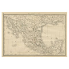
1847 Antique Map of Mexico, Texas and California by Samuel Augustus Mitchell

$9,500
£7,168.75
€8,343.38
CA$13,411.44
A$13,460.20
CHF 7,849.06
MX$163,636.97
NOK 90,193.55
SEK 92,759.46
DKK 62,365.81

About the Item

Presented is the second edition of Samuel Augustus Mitchell's Map of Mexico, Including Yucatan & Upper California, an important map showing the progress of the Mexican-American War. Published in 1847, this edition is revised with additional place names and significantly enlarged to include the ancillary "Map of the Principal Roads from Vera Cruz and Alvarado to the City of Mexico," the corresponding elevation profile below it, and an updated inset map showing the "Battle Field at Monterey" in pink at top right. The map is considered to be an adaptation of Mitchell's earlier 1846 A New Map of Texas, Oregon, and California. Cartographically, the map presents Texas in its large stovepipe configuration with its southern boundary on the Rio Grande and northern panhandle to 42º north latitude. To its west is a very narrow strip of New Mexico and vast Upper California with a red line along the Gila River. The red line implies U.S. control of this region, as the map was published after victories by Commodore Sloat and General Kearny in New Mexico and California. In California, Yerba Buena and New Helvetia are identified, and several important routes are noted including the Great Spanish Trail to Santa Fe and the Trader's Route to Independence, Missouri. Published in the middle of the Mexican-American War, the map indicates six battle sites, represented by small flags, including Palo Alto, Resaca de la Palma, Monterrey, Buena Vista, Cerro Gordo, and Vera Cruz. Further attention is given to the Battle of Monterrey, fought September 20-24, 1846 between General Zachary Taylor and his Army of Occupation and the Mexican Army of the North under General Pedro de Ampudia, with the inset map at top right. Being a wartime map, Mitchell chose to emphasize lines of communication, settlements, and political boundaries more than geological features, however he does offer topographical detail in the inset map and profile of roads to Vera Cruz, given the importance of this route. Samuel Augustus Mitchell Sr. (1792 - 1868) began his map-publishing career in the early 1830s. Having worked as a schoolteacher, Mitchell was frustrated with the low quality and inaccuracy of school texts of the period. His first maps were an attempt to rectify this problem. In the next 20 years Mitchell would become the most prominent American map publisher of the mid-19th century. Mitchell worked with prominent engravers J. H. Young, H. S. Tanner, and H. N. Burroughs before attaining the full copyright on his maps in 1847. In 1849, Mitchell teamed up with printer Cowperthwait & Company to produce Mitchell's Universal Atlas and Mitchell's General Atlas. In the late 1850s most of the Mitchell copyrights were bought by Desilver and Co., who continued to publish his maps, many with modified borders and color schemes, until Mitchell's son, Samuel Augustus Mitchell Jr., entered the picture. S. A. Mitchell Jr. purchased most of the copyrights back from Desilver and, from 1860 on, published his own New General Atlas. The younger Mitchell became as prominent as his father and published atlases well into the late 1880s when most of the copyrights were again sold and the Mitchell firm closed its doors for the final time. CONDITION: Map is in good and stable condition. An attractive example, the map has been professionally restored with new linen backing and edge ribbon on original rollers. The new linen reinforced and repaired numerous small cracks and tears, mostly at top. There are two small areas of loss below Great Salt Lake that have been reinstated in facsimile, along with two small chips in the left and right border, also replaced in facsimile. Overall attractive original hand coloring, with only light toning to paper and minor foxing. Map is presented unframed. Unframed dimensions: 32" H x 23 5/8" W.
  • Creator:
  • Dimensions:
    Height: 32 in (81.28 cm)Width: 23.63 in (60.03 cm)Depth: 0.5 in (1.27 cm)
  • Materials and Techniques:
  • Place of Origin:
  • Period:
  • Date of Manufacture:
    1847
  • Condition:
    Repaired: Professionally restored with linen backing, edge ribbons, and small cracks and tears have been repaired. Wear consistent with age and use. Minor losses. Map is in good and stable condition. Professionally restored with new linen backing and edge ribbon on original rollers. The new linen reinforced and repaired numerous small cracks and tears, and some loss.
  • Seller Location:
    Colorado Springs, CO
  • Reference Number:
    Seller: M3021stDibs: LU909720933262

More From This Seller

View All
1847 Ornamental Map of the United States & Mexico by H. Phelps

1847 Ornamental Map of the United States & Mexico by H. Phelps

Located in Colorado Springs, CO

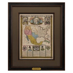
Offered is an original 1847 ornamental map of the U.S. entitled "Ornamental Map of the United States & Mexico" by Humphrey Phelps. The map was issued as an act of Congress by Phelps on Fulton Street, New York. The broadside is elaborately hand-colored. This is a very detailed and graphic propaganda map of the United States expressing U.S. dominance of the North American continent. The hand-colored map proclaims the Manifest Destiny, with the recent acquisition of Upper California and Texas at the conclusion of the Mexican-American War. The newly acquired land is boldly colored, standing in stark contrast to the rest of the U.S. The map details a potential route for a railroad running from New York City, to Buffalo, to Chicago, then west along the Oregon Trail to Oregon City. This route anticipates the construction of the transcontinental railroad by nearly 20 years. The map includes elaborately detailed renderings of George Washington, Hernan Cortez, and Montezuma at top to represent European expansion to the Americas. At bottom are four inset designs with text showing the following: a chronological history of the U.S. beginning from settlement to the U.S. victory in the Mexican-American war; an illustration of General Zachary Taylor with details on the Oregon Territory; an illustration of the Aztec Temple of the Sun in Tenochtitlan and a chronology of the Conquest of the Aztec Empire under Cortez; a portrait of General Antonio Lopez de Santa Anna...

Category

Antique 1840s American Maps

Materials

Paper

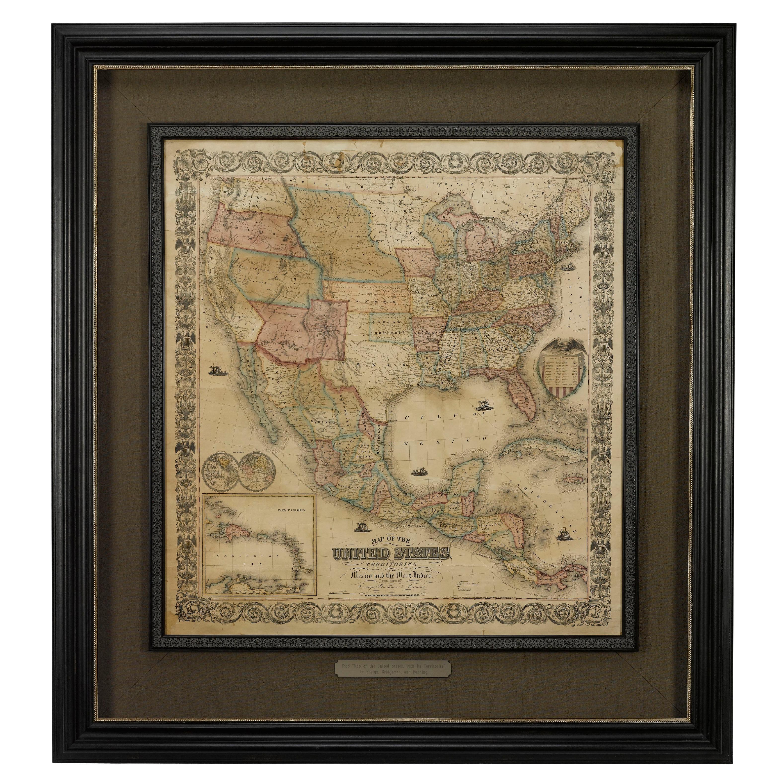
1856 "Map of the United States" by Ensign, Bridgeman, and Fanning

1856 "Map of the United States" by Ensign, Bridgeman, and Fanning

Located in Colorado Springs, CO

Presented is a scarce American wall map of the United States and Mexico issued by Ensign, Bridgman, and Fanning in 1856. As the title suggests, the map covers all of the United State...

Category

Antique 1850s American Victorian Maps

Materials

Paper

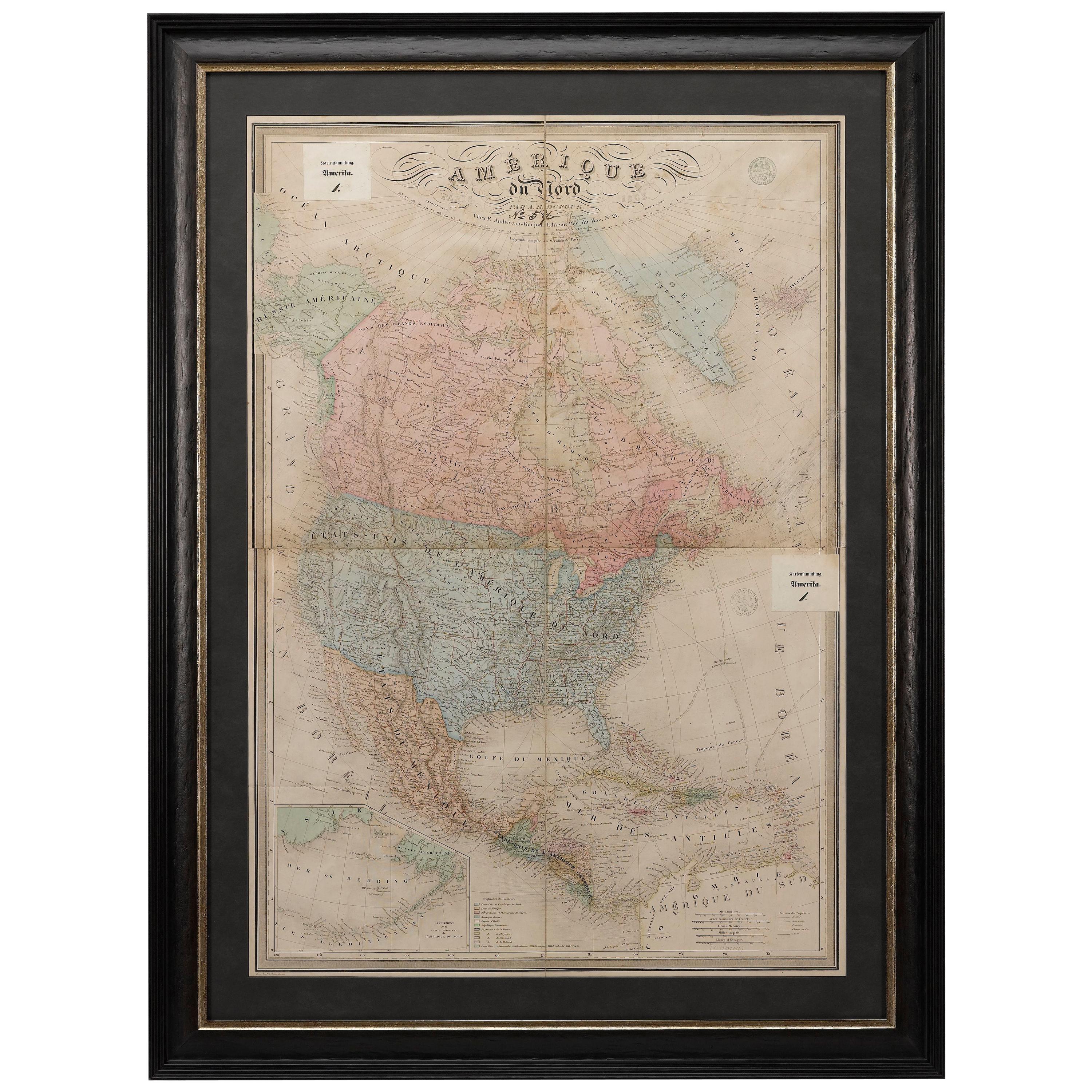
1864 Map of North America, Antique Hand-Colored Map, by Adolphe Hippolyte Dufour

1864 Map of North America, Antique Hand-Colored Map, by Adolphe Hippolyte Dufour

Located in Colorado Springs, CO

Offered is a map of North America entitled Amerique du Nord from 1864. This rare, separately published wall map was produced by Adolphe Hippolyte Dufour. This map includes vibrant an...

Category

Antique 1860s French Maps

Materials

Paper

1842 Wall Map of the United States by J. H. Young, Published by S. A. Mitchell

1842 Wall Map of the United States by J. H. Young, Published by S. A. Mitchell

Located in Colorado Springs, CO

Presented is an 1842 hanging “Map of the United States,” engraved by J. H. Young and published by Samuel Augustus Mitchell, Philadelphia. This is a beautiful example of the rare 1842...

Category

Antique 1840s American Maps

Materials

Paper

1855 New-York City & County Map with Vicinity by Charles Magnus

1855 New-York City & County Map with Vicinity by Charles Magnus

By Charles Magnus

Located in Colorado Springs, CO

This is a beautiful hand-colored map titled “New York City & County Map with Vicinity entire Brooklyn, Williamsburgh, Jersey City &c.” The work was published in 1855 by Charles Magnu...

Category

Antique 1850s American Victorian Maps

Materials

Paper

You May Also Like

Mexico, Antique Map, Central America and Gulf of Mexico, Blackie Atlas 1860

Mexico, Antique Map, Central America and Gulf of Mexico, Blackie Atlas 1860

Located in Langweer, NL

Mexico, Antique Map, Central America and Gulf of Mexico, Blackie Atlas 1860 Description: This original antique map titled Mexico presents a detailed mid-19th-century view of Mexico ...

Category

Antique Mid-19th Century British Maps

Materials

Paper

1882 Antique Map of Mexico Highlighting Geographical and Political Boundaries

1882 Antique Map of Mexico Highlighting Geographical and Political Boundaries

Located in Langweer, NL

This 1882 map of Mexico, published by Blackie and Son as part of the 'Comprehensive Atlas and Geography of the World,' provides a highly detailed representation of the country's geog...

Category

Antique 1880s Maps

Materials

Paper

Antique Map of the United States with inset map of Mexico City Area, c.1859

Antique Map of the United States with inset map of Mexico City Area, c.1859

Located in Langweer, NL

Antique map titled 'Verein-Staaten von Nord-America, Mexico, Yucatan u.a.'. Very detailed map of the United States of America showing the Caribbean. With an inset map of the surround...

Category

Antique Mid-19th Century German Maps

Materials

Paper

1830 Mexico and United States Framed Map

1830 Mexico and United States Framed Map

Located in Stamford, CT

Map of North America published circa 1830. Map shows United States into Canada. Mexico extending into the upper California territory. Texas appears in name but prior to the period of...

Category

Antique 1830s American American Classical Maps

Materials

Glass, Wood, Paper

1834 Mexico & Guatemala Framed Map by H.S. Tanner

1834 Mexico & Guatemala Framed Map by H.S. Tanner

Located in Stamford, CT

1834 Mexico & Guatemala map of published by H.S. Tanner, Philadelphia, Pennsylvania. Engraved by J. Knight. As found high end custom framing with carved wood frame, custom matting a...

Category

Antique 1830s American American Classical Maps

Materials

Glass, Wood, Paper

Mexico Antique Railroad Map c.1888 – Cities, States & Land of the Aztecs

Mexico Antique Railroad Map c.1888 – Cities, States & Land of the Aztecs

Located in Langweer, NL

Antique Map of Mexico – Rand McNally, circa 1888 This antique map titled *“Rand, McNally & Co.’s Mexico”* was published around 1888 and depicts Mexico in the late 19th century, a pe...

Category

Antique Late 19th Century American Maps

Materials

Paper