Want more images or videos?
Request additional images or videos from the seller
1 of 8

Ancient Course of the Ganges: A First Ptolemaic Map of India by Mercator, c.1584

$1,084.24
$1,356.3720% Off
£797.95
£994.6220% Off
€912VAT Included
€1,14020% Off
CA$1,505.40
CA$1,879.8320% Off
A$1,509.56
A$1,888.5320% Off
CHF 873.36
CHF 1,089.3220% Off
MX$18,381.35
MX$22,982.4720% Off
NOK 10,135.10
NOK 12,653.9920% Off
SEK 10,330.02
SEK 12,836.1020% Off
DKK 6,954.77
DKK 8,692.6120% Off

About the Item

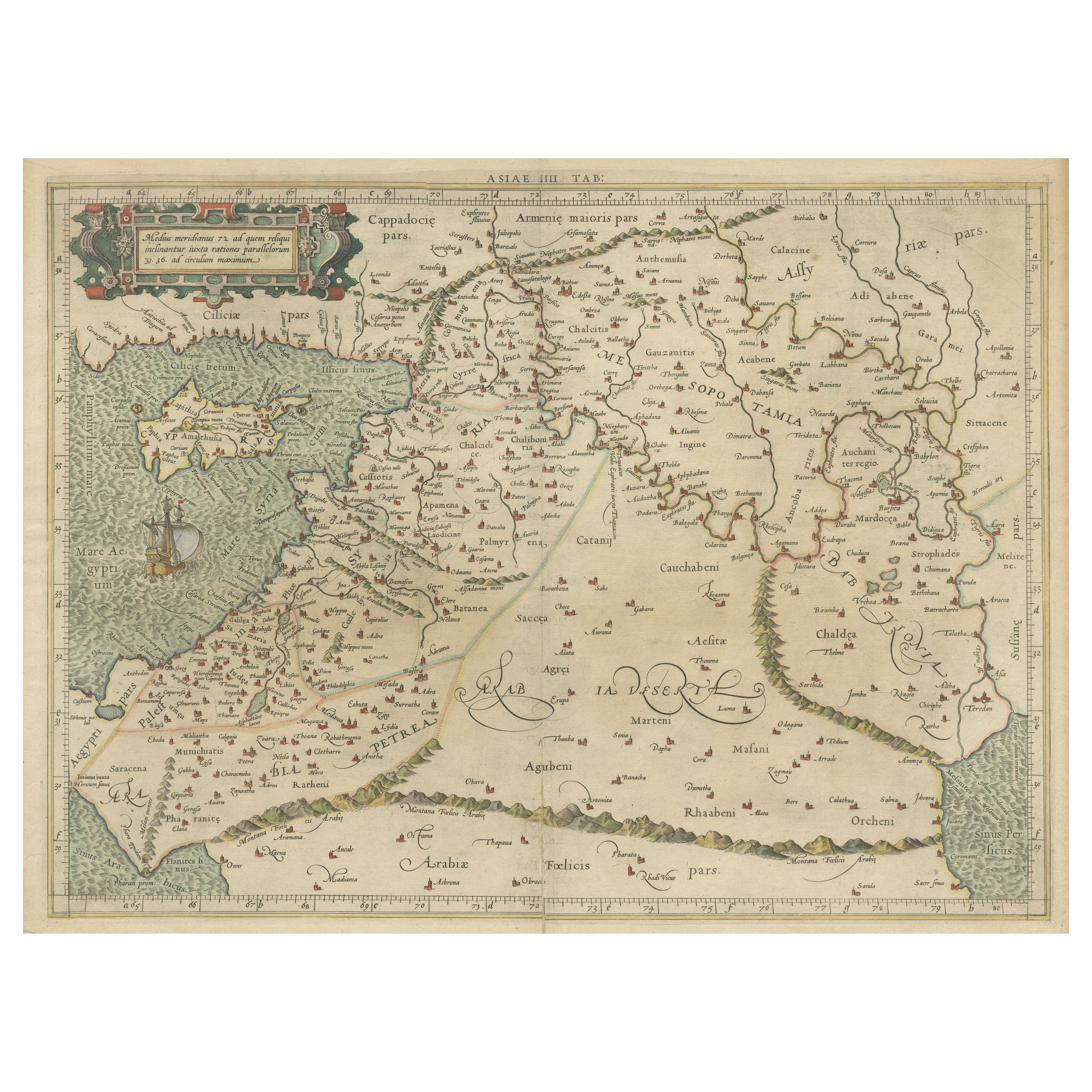
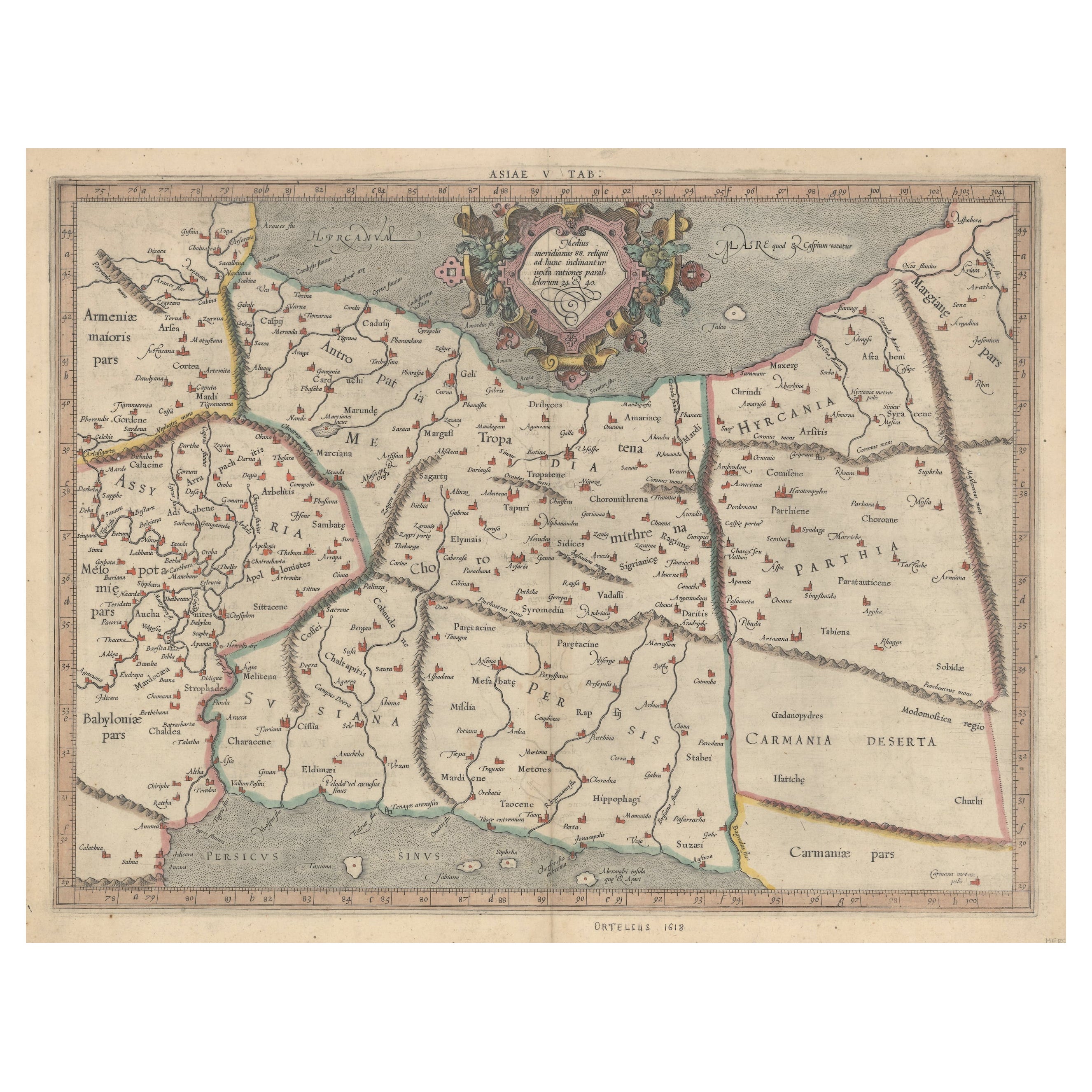
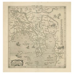
This remarkable map, titled "Asiae X Tab:", is a significant historical artifact that represents the convergence of knowledge and craftsmanship from two of the most esteemed figures in the history of geography and cartography. Created by Gerard Mercator and based on the geographical insights of Claudius Ptolemy, this map is part of the rare first issue published in Brussels in 1578. The map itself meticulously delineates the region between the Indus and Ganges rivers, an area of immense historical and geographical importance. It is an excellent representation of Ptolemy's second-century geographical data, which was fundamental in shaping the modern principles of mapmaking. Mercator, renowned for his precision and dedication to adhering closely to Ptolemy's original intentions, showcases this commitment through the detailed depiction of this significant Asian landscape. This edition stands out not only for its historical accuracy but also for its artistic execution. Gerard Mercator, who was also an innovator in the use of the italic hand for map lettering, first introduced this style in his "Literarum latinarum" in 1540. The use of italics in this map enhances its legibility and aesthetic appeal, which became a hallmark of the finest sixteenth and seventeenth-century Dutch maps, largely attributed to Mercator’s influence. The map measures 13 ½ x 18 inches and features fine hand coloring, which has been preserved in almost excellent condition alttough there some browning due to age. As a splendid example of the first issue from Mercator’s definitive edition of Ptolemy’s "Geographia", it not only serves as a testament to the rich history of geographical exploration but also stands as a beacon of the enduring legacy of its makers, shaping the future of cartographic design and precision. The map "Asiae X Tab:", focusing on the region between the Indus and Ganges rivers, highlights several areas and cities of historical and geographical importance that are likely of interest to scholars, historians, and collectors. Here are key locations depicted on the map: 1. **Indus River**: As one of the major rivers of Asia and a cradle of ancient civilizations like the Indus Valley Civilization, the Indus River holds significant historical importance. 2. **Ganges River**: Another crucial river not just for its cultural and religious significance in India, but also as a vital geographic feature in ancient and medieval maps. 3. **Delhi**: Although the specific medieval or ancient names might differ or its depiction may vary depending on the historical period of the map, Delhi has always been a significant urban center in northern India. 4. **Lahore**: Known historically for its wealth and strategic location, Lahore is another city likely to be depicted as a key site on this map. 5. **Multan**: As a major commercial center and a node in various trade routes, Multan holds historical significance that would likely be highlighted in a map of this era. 6. **Ujjain**: Historically significant for its role as a political and cultural hub in central India and as a location along ancient trade routes. 7. **Varanasi (Benares)**: One of the world's oldest continuously inhabited cities and a major cultural and religious center in India, likely featured prominently on the map. 8. **Agra**: Known for its architectural marvels, even pre-dating the Mughal era, Agra would be a notable location on historical maps of this region. Each of these locations has a rich historical narrative that might be reflected in their depiction on the map, making them of particular interest to those studying the geographical and cultural history of South Asia.
  • Dimensions:
    Height: 15.95 in (40.5 cm)Width: 20.08 in (51 cm)Depth: 0 in (0.02 mm)
  • Materials and Techniques:
    Paper,Engraved
  • Period:
  • Date of Manufacture:
    circa 1584
  • Condition:
    Condition: good, given age. General age-related toning and/or occasional minor defects from handling. Minor remains of water stains along the edges and a brownish hue overal. Vertical folding line as published. Please study scans carefully.
  • Seller Location:
    Langweer, NL
  • Reference Number:
    Seller: BG-137751stDibs: LU3054341324632

More From This Seller

View All
1698 Mercator Ptolemaic Map of Asia East of the Ganges

1698 Mercator Ptolemaic Map of Asia East of the Ganges

Located in Langweer, NL

Title: Tab. XI. Asiae, comprehendens Indiam extra Gangem. This is an exquisite Ptolemaic map depicting Asia east of the Ganges, titled "Tab. XI. Asiae, comprehendens Indiam extra G...

Category

Antique 1680s Dutch Maps

Materials

Paper
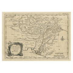
Antique Map of India as Described It Was before the 5th Century, 1744

Antique Map of India as Described It Was before the 5th Century, 1744

Located in Langweer, NL

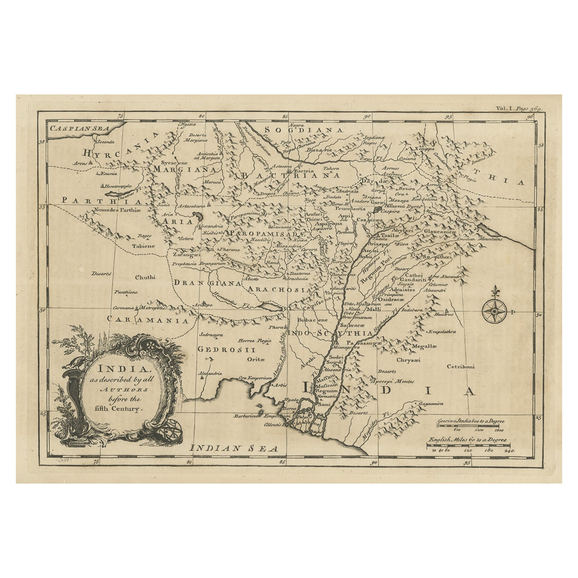
Antique map titled 'India, as described by all Authors before the fifth Century'. Detailed map of part of India, including Hyrcania, Parthia, Carmania, Gedorossii, Drangiana, Aria, M...

Category

Antique 18th Century Maps

Materials

Paper

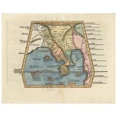
Map of India and Southeast Asia from Ptolemaic Geography – 16th Century Woodcut

Map of India and Southeast Asia from Ptolemaic Geography – 16th Century Woodcut

Located in Langweer, NL

Map of India and Southeast Asia from Ptolemaic Geography – 16th Century Woodcut This remarkable hand-colored woodcut map, originally designed according to the geographical knowledge...

Category

Antique 16th Century European Maps

Materials

Paper

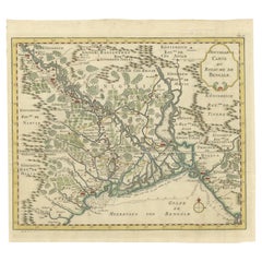
Detailed Regional Map of the Gulf of Bengal and the Lower Ganges River, ca.1750

Detailed Regional Map of the Gulf of Bengal and the Lower Ganges River, ca.1750

Located in Langweer, NL

Title of this original and rare antique map: Nouvelle Carte Du Royaume De Bengale Mapmaker: Jacques-Nicolas Bellin (1703-1772). He was among the most important mapmakers of the eighteenth century. In 1721, at only the age of 18, he was appointed Hydrographer to the French Navy. In August 1741, he became the first Ingénieur de la Marine of the Dépôt des cartes...

Category

Antique 1750s Maps

Materials

Paper

You May Also Like

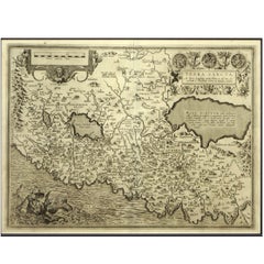
Engraving Depicting 16th Century Map of Terra Sancta

Engraving Depicting 16th Century Map of Terra Sancta

Located in Buchanan, MI

Abraham Ortelius (Flemish, 1527-1598) Terra Sancta. Engraving depicting 16th century map of Terra Sancta. Site 15" x 19.5.

Category

Antique 18th Century and Earlier Maps

Materials

Paper

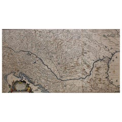
17th Century Nicolas Visscher Map of Southeastern Europe

17th Century Nicolas Visscher Map of Southeastern Europe

Located in Hamilton, Ontario

A beautiful, highly detailed map of southeastern Europe by Nicolas Visscher. Includes regions of Northern Italy (showing the cities Bologna, Padua, and Venice), Bohemia, Austria (sho...

Category

Antique 17th Century Dutch Maps

Materials

Paper

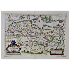
"Nova Barbariae Descriptio", a 17th Century Hand-Colored Map of North Africa

"Nova Barbariae Descriptio", a 17th Century Hand-Colored Map of North Africa

By Johannes Janssonius

Located in Alamo, CA

This original attractive 17th century hand-colored map of North Africa entitled "Nova Barbariae Descriptio" by Johannes Janssonius was published in Paris in 1635. It includes the Med...

Category

Antique Mid-17th Century Dutch Maps

Materials

Paper

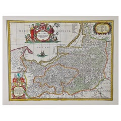
Prussia, Poland, N. Germany, Etc: A Hand-colored 17th Century Map by Janssonius

Prussia, Poland, N. Germany, Etc: A Hand-colored 17th Century Map by Janssonius

By Johannes Janssonius

Located in Alamo, CA

This is an attractive hand-colored copperplate engraved 17th century map of Prussia entitled "Prussia Accurate Descripta a Gasparo Henneberg Erlichensi", published in Amsterdam by Joannes Janssonius in 1664. This very detailed map from the golden age of Dutch cartography includes present-day Poland, Latvia, Lithuania, Estonia and portions of Germany. This highly detailed map is embellished by three ornate pink, red, mint green and gold...

Category

Antique Mid-17th Century Dutch Maps

Materials

Paper

Ancient National Atlas of France Print, Engraved, Early 19th Century

Ancient National Atlas of France Print, Engraved, Early 19th Century

Located in Alessandria, Piemonte

Ancient National Atlas of France with the department of Marengo: a rare French etching dated 1806. ST/178.

Category

Antique Early 19th Century French Other Prints

Materials

Paper

1633 Map "La Souverainete De Sedan Et De Raucourt, Et La Prevoste Ric0011

1633 Map "La Souverainete De Sedan Et De Raucourt, Et La Prevoste Ric0011

Located in Norton, MA

1653 map entitled "La Souverainete de Sedan et de Raucourt, et la Prevoste de Doncheri," Ric0011 Description: Lovely map centered on Sedan and Doncheri and the Meuze River fr...

Category

Antique 17th Century Dutch Maps

Materials

Paper