Want more images or videos?
Request additional images or videos from the seller
1 of 6

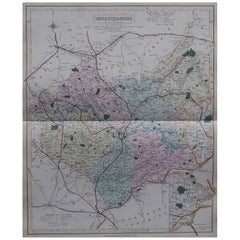
Antique Decorative County Map of Lincolnshire, England, 1804

$308.03
$385.0420% Off
£227.88
£284.8520% Off
€260VAT Included
€32520% Off
CA$426.33
CA$532.9120% Off
A$427.82
A$534.7720% Off
CHF 249.51
CHF 311.8920% Off
MX$5,201.76
MX$6,502.2020% Off
NOK 2,867.11
NOK 3,583.8920% Off
SEK 2,948.68
SEK 3,685.8420% Off
DKK 1,982.51
DKK 2,478.1420% Off

About the Item

Antique county map of Lincolnshire first published circa 1800 Cities illustrated include Grantham, Spalding, Boston, and Market Raisin. Charles Smith was a cartographer working in London from circa 1800. His maps were finely engraved on copper and featured beautiful hand colouring. The county maps were initially issued as single sheets for travelers from 1800. In 1804 they were published as an atlas, Smith's New English Atlas. The maps are large and contain information required by a traveler of the time. All the principal turnpike roads are shown with distances from town to town. The local administrative divisions, such as the hundreds, are indicated by different colours. The hundred was of Saxon origin and was an area of approximately 100 households. As its head was an Elderman who was held responsible for supplying fully equipped men for the King in times of war and for the administration of justice. The hundred court was where justice was administered and by the 13th century they were held 12 times a year in a meeting place in the principal town. Local issues were also discussed here and decisions made, the town usually giving its name to the hundred.
  • Dimensions:
    Height: 25.2 in (64 cm)Width: 21.26 in (54 cm)Depth: 0 in (0.02 mm)
  • Materials and Techniques:
    Paper,Engraved
  • Period:
  • Date of Manufacture:
    1804
  • Condition:
    Wear consistent with age and use. General age-related toning. Some tears in the edges, due to handling, are touching, but not into the plate. The image very clean. Folding line as issued. Original handcoloring. Please study image carefully.
  • Seller Location:
    Langweer, NL
  • Reference Number:
    Seller: BG-12924-151stDibs: LU3054326993402

More From This Seller

View All
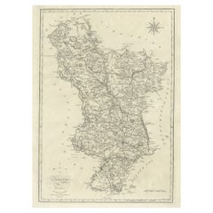
Antique County Map of Derbyshire, England, 1804

Antique County Map of Derbyshire, England, 1804

Located in Langweer, NL

Antique county map of Derbyshire first published, circa 1800. Villages, towns, and cities illustrated include Chesterfield, Wirksworth, Derby, and ...

Category

Antique Early 1800s Maps

Materials

Paper
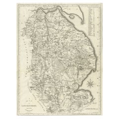
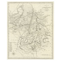
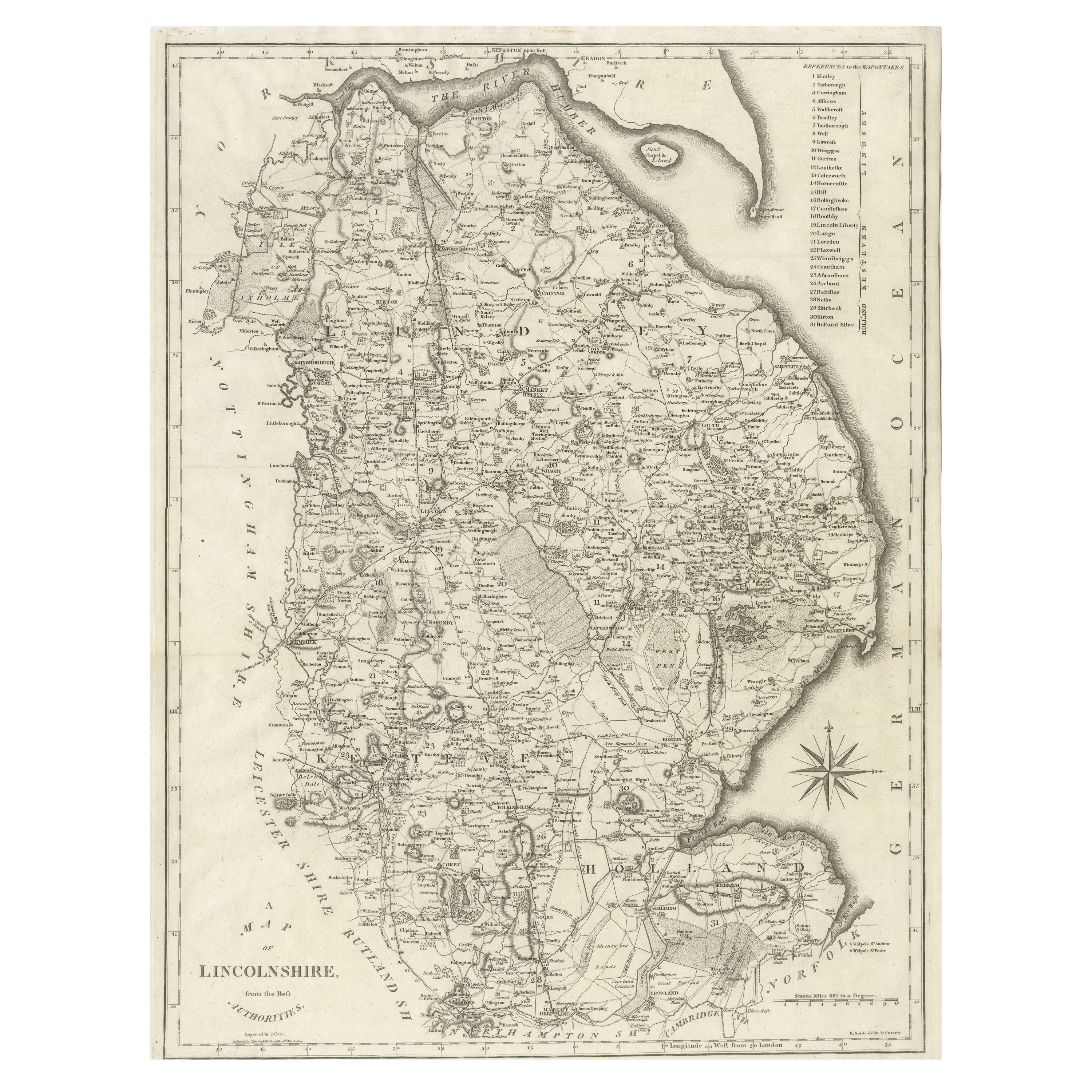
Large Antique County Map of Lincolnshire, England

Large Antique County Map of Lincolnshire, England

Located in Langweer, NL

Antique map titled 'A Map of Lincolnshire from the best Authorities'. Original old county map of Lincolnshire, England. Engraved by John Cary. Originates from 'New British Atlas' by ...

Category

Antique Early 19th Century Maps

Materials

Paper

Large Antique County Map of Derbyshire, England, 1805

Large Antique County Map of Derbyshire, England, 1805

Located in Langweer, NL

Antique map titled 'A Map of Derbyshire from the best Authorities'. Original old county map of Derbyshire, England. Engraved by John Cary. Originates from 'New British Atlas' by John...

Category

Antique Early 19th Century British Maps

Materials

Paper

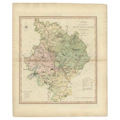
Antique Decorative County Map of Huntingdonshire, England, 1804

Antique Decorative County Map of Huntingdonshire, England, 1804

Located in Langweer, NL

Antique county map of Huntingdonshire first published c.1800. Cities illustrated include Kimbolton, Chesterton, Folkesworth, and Great Stewkeley. Charles Smith was a cartographer ...

Category

Antique Early 1800s Maps

Materials

Paper
Large Antique County Map of Cambridgeshire, England

Large Antique County Map of Cambridgeshire, England

Located in Langweer, NL

Antique map titled 'A Map of Cambridgeshire from the best Authorities'. Original old county map of Cambridgeshire, England. Engraved by John Cary. Originates from 'New British Atlas'...

Category

Antique Early 19th Century Maps

Materials

Paper

You May Also Like

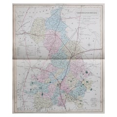
Original Antique English County Map, Cambridgeshire, J & C Walker, 1851

Original Antique English County Map, Cambridgeshire, J & C Walker, 1851

Located in St Annes, Lancashire

Great map of Cambridgeshire Original colour By J & C Walker Published by Longman, Rees, Orme, Brown & Co. 1851 Unframed.

Category

Antique 1850s English Other Maps

Materials

Paper

Original Antique English County Map, Leicestershire, J & C Walker, 1851

Original Antique English County Map, Leicestershire, J & C Walker, 1851

Located in St Annes, Lancashire

Great map of Leicestershire Original colour By J & C Walker Published by Longman, Rees, Orme, Brown & Co. 1851 Unframed.

Category

Antique 1850s English Other Maps

Materials

Paper

Original Antique English County Map, Derbyshire, J & C Walker, 1851

Original Antique English County Map, Derbyshire, J & C Walker, 1851

Located in St Annes, Lancashire

Great map of Derbyshire Original colour By J & C Walker Published by Longman, Rees, Orme, Brown & Co. 1851 Unframed.

Category

Antique 1850s English Other Maps

Materials

Paper

Original Antique English County Map, Nottinghamshire, J & C Walker, 1851

Original Antique English County Map, Nottinghamshire, J & C Walker, 1851

Located in St Annes, Lancashire

Great map of Nottinghamshire Original colour By J & C Walker Published by Longman, Rees, Orme, Brown & Co. 1851 Unframed.

Category

Antique 1850s English Other Maps

Materials

Paper

Original Antique English County Map, Warwickshire, J & C Walker, 1851

Original Antique English County Map, Warwickshire, J & C Walker, 1851

Located in St Annes, Lancashire

Great map of Warwickshire Original colour By J & C Walker Published by Longman, Rees, Orme, Brown & Co. 1851 Unframed.

Category

Antique 1850s English Other Maps

Materials

Paper