Want more images or videos?
Request additional images or videos from the seller
1 of 6

Antique French Map of Java, Indonesia by Chatelain, '1719'

$1,826.37
$3,307.6545% Off
£1,338.42
£2,443.3645% Off
€1,531.13VAT Included
€2,80045% Off
CA$2,514.31
CA$4,592.1245% Off
A$2,557.58
A$4,676.5845% Off
CHF 1,460.41
CHF 2,684.5545% Off
MX$30,935.33
MX$56,431.4345% Off
NOK 17,029.20
NOK 31,112.6545% Off
SEK 17,290.12
SEK 31,540.0245% Off
DKK 11,675.25
DKK 21,352.6545% Off

About the Item

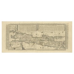
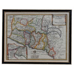
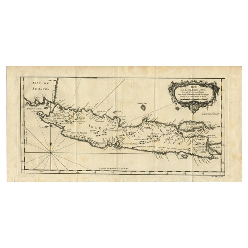
Antique map titled 'Carte de l'Ile de Java: Partie Occidentale, Partie Orientale, Dressee tout Nouvellement Sur Les Memoires Les Plus Exacts (..)'. This beautiful map of Java (Indonesia) exists of two sheets, joined together. It also shows a large portion of Sumatra and Bali. It shows the entire island of Java with such detail that even rice plantations, grazing lands, and forests are included with accuracy. The city and port of Batavia (Jakarta) can be found in the northwest portion of the island as well as in a large insert in the lower left portion of the map. Above the map are two drapery style title banners written by Gueudeville, that present the history of the island as well as the presence of the Dutch.
  • Dimensions:
    Height: 17.52 in (44.5 cm)Width: 36.82 in (93.5 cm)Depth: 0.02 in (0.5 mm)
  • Materials and Techniques:
  • Period:
  • Date of Manufacture:
    1719
  • Condition:
    General age-related toning, blank verso. Please study images carefully.
  • Seller Location:
    Langweer, NL
  • Reference Number:
    Seller: BGJC-3451stDibs: LU3054317506161

More From This Seller

View All
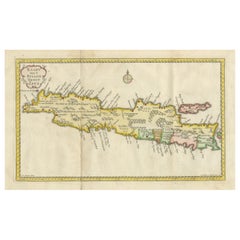
Antique Map of Java and Madura Island, Indonesia, c.1760

Antique Map of Java and Madura Island, Indonesia, c.1760

Located in Langweer, NL

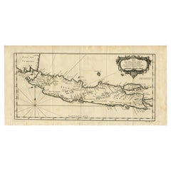
Antique map titled 'Idee de l'Isle de Java.' Well engraved and attractive chart of the island shows all principal harbors and coastal details, plus rivers, mountains and volcanoe...

Category

Antique 18th Century Maps

Materials

Paper

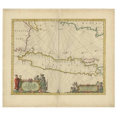
Antique Map of Java in The Dutch East Indies, Now Indonesia, c.1690

Antique Map of Java in The Dutch East Indies, Now Indonesia, c.1690

Located in Langweer, NL

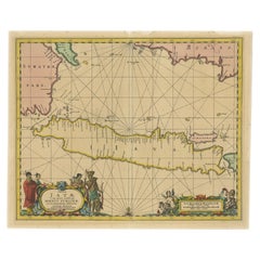
Antique map titled 'Insulae Iavae cum parte insularum Boreno Sumatrae (..)'. Beautiful map of the Island of Java and part of Borneo, Bali, Madura and Sumatra. Artists and Engrave...

Category

Antique 17th Century Maps

Materials

Paper

Scarce Antique Map of the Island of Java, Indonesia

Scarce Antique Map of the Island of Java, Indonesia

Located in Langweer, NL

Title: "Kaart van 't Eyland Groot Java: Antique Map of Java, Indonesia" Description: This antique map, titled "Kaart van 't Eyland Groot Java," offers a rare and valuable depiction ...

Category

Antique Late 18th Century Maps

Materials

Paper

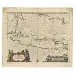
Antique Map of the Island Java, Indonesia, c.1650

Antique Map of the Island Java, Indonesia, c.1650

Located in Langweer, NL

Antique map titled 'Insulae Iavae cum parte insularum Boreno Sumatrae (..)'. Beautiful map of the island of Java and part of Borneo, Bali, Madura and Sumatra. With decorative carto...

Category

Antique 17th Century Maps

Materials

Paper

Antique Map of Java and Part of Borneo, Indonesia, c.1657

Antique Map of Java and Part of Borneo, Indonesia, c.1657

Located in Langweer, NL

Antique map titled 'Insulae Iavae cum parte insularum Boreno Sumatrae (..)'. Beautiful map of the island of Java and part of Borneo, Bali, Madura and Sumatra. With decorative carto...

Category

Antique 17th Century Maps

Materials

Paper

You May Also Like

Antique French Map of Asia Including China Indoneseia India, 1783

Antique French Map of Asia Including China Indoneseia India, 1783

Located in Amsterdam, Noord Holland

Very nice map of Asia. 1783 Dedie au Roy. Additional information: Country of Manufacturing: Europe Period: 18th century Qing (1661 - 1912) Condition: Overall Condition B (Good Used)...

Category

Antique 18th Century European Maps

Materials

Paper

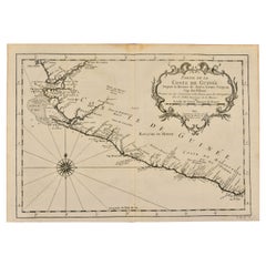
West Coast of Africa, Guinea & Sierra Leone: An 18th Century Map by Bellin

West Coast of Africa, Guinea & Sierra Leone: An 18th Century Map by Bellin

By Jacques-Nicolas Bellin

Located in Alamo, CA

Jacques Bellin's copper-plate map entitled "Partie de la Coste de Guinee Dupuis la Riviere de Sierra Leona Jusquau Cap das Palmas", depicting the coast of Guinea and Sierra Leone in ...

Category

Antique Mid-18th Century French Maps

Materials

Paper

Map Holy Land La Terre Sainte Engraved van Loon Published N de Fer 1703 French

Map Holy Land La Terre Sainte Engraved van Loon Published N de Fer 1703 French

Located in BUNGAY, SUFFOLK

La Terre Sainte, The Holy Land, Tiree Des Memoires De M.De.La Rue. Par N. de Fer. Geographe de Sa Majeste Catoliq et de Monseigneur le Dauphin. Avec Privil du Roi 1703 Detailed map of the Holy Land from Nicholas de Fer's L'Atlas Curieux ou le Monde. East is oriented at the top. MAKER Nicolas de Fer 1646-1720 The French cartographer and engraver, Nicolas de Fer, was a master at creating maps that were works of art. The maps that he published were printed during the Baroque period when the decorative arts were characterized by ornate detail. De Fer’s detailed maps and atlases were valued more for their decorative content than their geographical accuracy. Nicolas de Fer was born in 1646. His father, Antoine de Fer, owned a mapmaking firm. At the age of twelve, Nicolas was apprenticed to a Parisian engraver named Louis Spirinx. The family business was starting to decline when his father died in 1673. Nicolas de Fer’s mother, Genevieve, took over the business after the death of her husband. In 1687 the business was passed on to Nicolas and the profits increased after he took over the firm. Nicolas de Fer was a prolific cartographer who produced atlases and hundreds of single maps. He eventually became the official geographer to King Louis XIV of France and King Philip V...

Category

Antique Early 1700s French Louis XIV Maps

Materials

Paper

1590 Mercator Map Entitled "France Picardie Champaigne, Ric.0001

1590 Mercator Map Entitled "France Picardie Champaigne, Ric.0001

Located in Norton, MA

Description: Published in Amsterdam by Mercator/Hondius ca. 1590. Ric.0001 Artists and Engravers: Map : 'France Picardie Champaigne cum regionibus adiacentibus'. (Map of the french provinces of Picardie and Champagne.) Copper engraved map of the french provinces of Picardie and Champagne, showing the cities of Caen, Paris, Melun, Auxerre, Verdun, etc. Copperplate engraving on verge type hand laid paper with watermark. Description: Published in Amsterdam by Mercator/Hondius ca. 1600.Artists and Engravers: Mercator was born in Rupelmonde in Flanders and studied in Louvain under Gemma Frisius, Dutch writer, astronomer and mathematician. The excellence of his work brought him the patronage of Charles V, but in spite of his favor with the Emperor he was caught up in the persecution of Lutheran protestants and charged with heresy, fortunately without serious consequences. No doubt the fear of further persecution influenced his move in 1552 to Duisburg, where he continued the production of maps, globes and instruments. Mercator's sons and grandsons, were all cartographers and made their contributions in various ways to his atlas. Rumold, in particular, was responsible for the complete edition in 1595. The map plates...

Category

Antique 16th Century Dutch Maps
Materials

Paper

1752 Vaugoundy Map of Flanders : Belgium, France, and the Netherlands, Ric.a002

1752 Vaugoundy Map of Flanders : Belgium, France, and the Netherlands, Ric.a002

Located in Norton, MA

Large Vaugoundy Map of Flanders: Belgium, France, and the Netherlands Colored -1752 Ric.a002 Description: This is a 1752 Didier Robert de Vaugondy map of Flanders. The map de...

Category

Antique 17th Century Unknown Maps

Materials

Paper