Want more images or videos?
Request additional images or videos from the seller
1 of 5

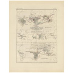
Antique Map Showing the Division and Distribution of Mammals by Johnston '1850'

$189.56
$236.9520% Off
£140.24
£175.2920% Off
€160VAT Included
€20020% Off
CA$262.36
CA$327.9420% Off
A$263.27
A$329.0920% Off
CHF 153.54
CHF 191.9320% Off
MX$3,201.08
MX$4,001.3520% Off
NOK 1,764.38
NOK 2,205.4720% Off
SEK 1,814.57
SEK 2,268.2120% Off
DKK 1,220.01
DKK 1,525.0120% Off

About the Item

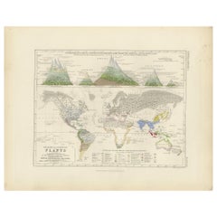
Antique map titled 'Geographical division and distribution of mammiferous animals of the orders rodentia and ruminantia over the globe'. Original antique map showing geographical division and distribution of mammals. This map originates from 'The Physical Atlas of Natural Phenomena' by A.K. Johnston, published 1850.
  • Dimensions:
    Height: 14.18 in (36 cm)Width: 11.03 in (28 cm)Depth: 0.02 in (0.5 mm)
  • Materials and Techniques:
  • Period:
  • Date of Manufacture:
    1850
  • Condition:
    General age-related toning. Minor wear, blank verso. Please study image carefully.
  • Seller Location:
    Langweer, NL
  • Reference Number:
    Seller: BG-12790-211stDibs: LU3054323455832

More From This Seller

View All
Antique Map Showing the Division and Distribution of Mammals by Johnston '1850'

Antique Map Showing the Division and Distribution of Mammals by Johnston '1850'

Located in Langweer, NL

Antique map titled 'Geographical division and distribution of mammiferous animals of the orders quadrumana, edentata, marsupialia & pachydermata'. Original antique map showing the ge...

Category

Antique Mid-19th Century Maps

Materials

Paper
Antique Map Showing the Division and Distribution of Reptiles by Johnston '1850'

Antique Map Showing the Division and Distribution of Reptiles by Johnston '1850'

Located in Langweer, NL

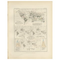
Antique map titled 'Geographical division and distribution of reptilia and ophidia. Original antique map showing the geographical division and distribution of reptiles and serpents. ...

Category

Antique Mid-19th Century Maps

Materials

Paper
Antique Map Showing the Distribution of Plants by Johnston '1850'

Antique Map Showing the Distribution of Plants by Johnston '1850'

Located in Langweer, NL

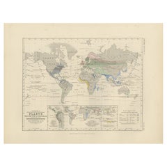
Antique map titled 'Geographical plants which are used as food for man'. Original antique map showing the distribution of plants. This map originates from 'The Physical Atlas of Natu...

Category

Antique Mid-19th Century Maps

Materials

Paper
Antique Map Showing the Division & Distribution of Carnivora by Johnston '1850'

Antique Map Showing the Division & Distribution of Carnivora by Johnston '1850'

Located in Langweer, NL

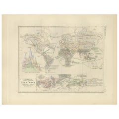
Antique map titled 'Geographical division and distribution of carnivorous animals'. Original antique map showing the geographical division and distribution of carnivora. This map ori...

Category

Antique Mid-19th Century Maps

Materials

Paper
Antique Map Showing the Distribution of Plants by Johnston, '1850'

Antique Map Showing the Distribution of Plants by Johnston, '1850'

Located in Langweer, NL

Antique map titled 'Geographical Distribution of Plants'. Original antique map showing the distribution of plants. This map originates from 'The Physical Atlas of Natural Phenomena' ...

Category

Antique Mid-19th Century Maps

Materials

Paper
You May Also Like

Original Antique Map of The World by Thomas Clerk, 1817

Original Antique Map of The World by Thomas Clerk, 1817

Located in St Annes, Lancashire

Great map of The Eastern and Western Hemispheres On 2 sheets Copper-plate engraving Drawn and engraved by Thomas Clerk, Edinburgh. Published by Mackenzie And Dent, 1817 ...

Category

Antique 1810s English Maps

Materials

Paper

1864 Original illustrated planisphere - World Map - Geography

1864 Original illustrated planisphere - World Map - Geography

Located in PARIS, FR

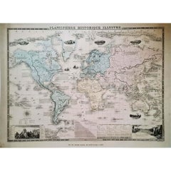
Immerse yourself in the epic journey of the past with the Illustrated Historical Planisphere of 1864 by Charpentier! 🗺️ This cartographic treasure transports you through the intrica...

Category

1860s Prints and Multiples

Materials

Linen, Paper, Lithograph

Original Antique Map of The Western Hemisphere by Dower, circa 1835

Original Antique Map of The Western Hemisphere by Dower, circa 1835

Located in St Annes, Lancashire

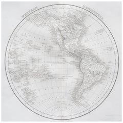
Nice map of the Western Hemisphere Drawn and engraved by J.Dower Published by Orr & Smith. C.1835 Unframed. Free shipping

Category

Antique 1830s English Maps

Materials

Paper

Large Original Antique Map of The World, Fullarton, C.1870

Large Original Antique Map of The World, Fullarton, C.1870

Located in St Annes, Lancashire

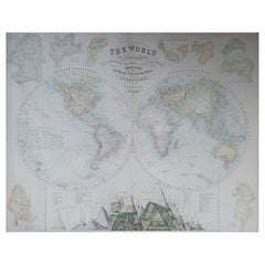
Great map of the World. Showing both hemispheres From the celebrated Royal Illustrated Atlas Lithograph. Original color. Published by Fullarton, Edinburgh, C.1870 Unframed. Rep...

Category

Antique 1870s Scottish Maps

Materials

Paper

Original Antique Map of The World by Dower, circa 1835

Original Antique Map of The World by Dower, circa 1835

Located in St Annes, Lancashire

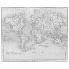
Nice map of the World Drawn and engraved by J.Dower Published by Orr & Smith. C.1835 Unframed. Free shipping

Category

Antique 1830s English Maps

Materials

Paper

Original Antique Map of North America by Dower, circa 1835

Original Antique Map of North America by Dower, circa 1835

Located in St Annes, Lancashire

Nice map of North America Drawn and engraved by J.Dower Published by Orr & Smith. C.1835 Unframed. Free shipping

Category

Antique 1830s English Maps

Materials

Paper