Want more images or videos?
Request additional images or videos from the seller
1 of 6

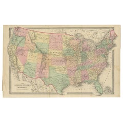
Antique Map Showing the Locations of Native American Tribes in 1899

$757.95
£568.07
€650VAT Included
CA$1,077.07
A$1,094.27
CHF 609.74
MX$13,248.37
NOK 7,455.26
SEK 7,317
DKK 4,955.85

About the Item

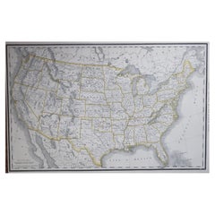
Antique map titled 'Map showing the Indian Reservations within the Limits of the United States'. Large folding map of the United States showing the Indian Reservations. The present map locates all the lands reserved to Native American Tribes as of 1899. Compiled under the direction of W.A. Jones.
  • Dimensions:
    Height: 22.84 in (58 cm)Width: 34.45 in (87.5 cm)Depth: 0.02 in (0.5 mm)
  • Materials and Techniques:
  • Period:
  • Date of Manufacture:
    1899
  • Condition:
    Beautiful colors, few small defects on folding lines. Please study images carefully.
  • Seller Location:
    Langweer, NL
  • Reference Number:
    Seller: BG-117841stDibs: LU3054316508522

More From This Seller

View All
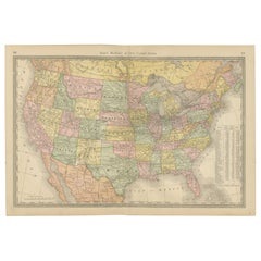
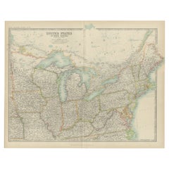
Antique Map of the United States of North America, c.1882

Antique Map of the United States of North America, c.1882

Located in Langweer, NL

Antique map titled 'United States of North America'. Old map of the United States of North America. This map originates from 'The Royal Atlas of Modern Geography, Exhibiting, in a Se...

Category

Antique 1880s Maps

Materials

Paper
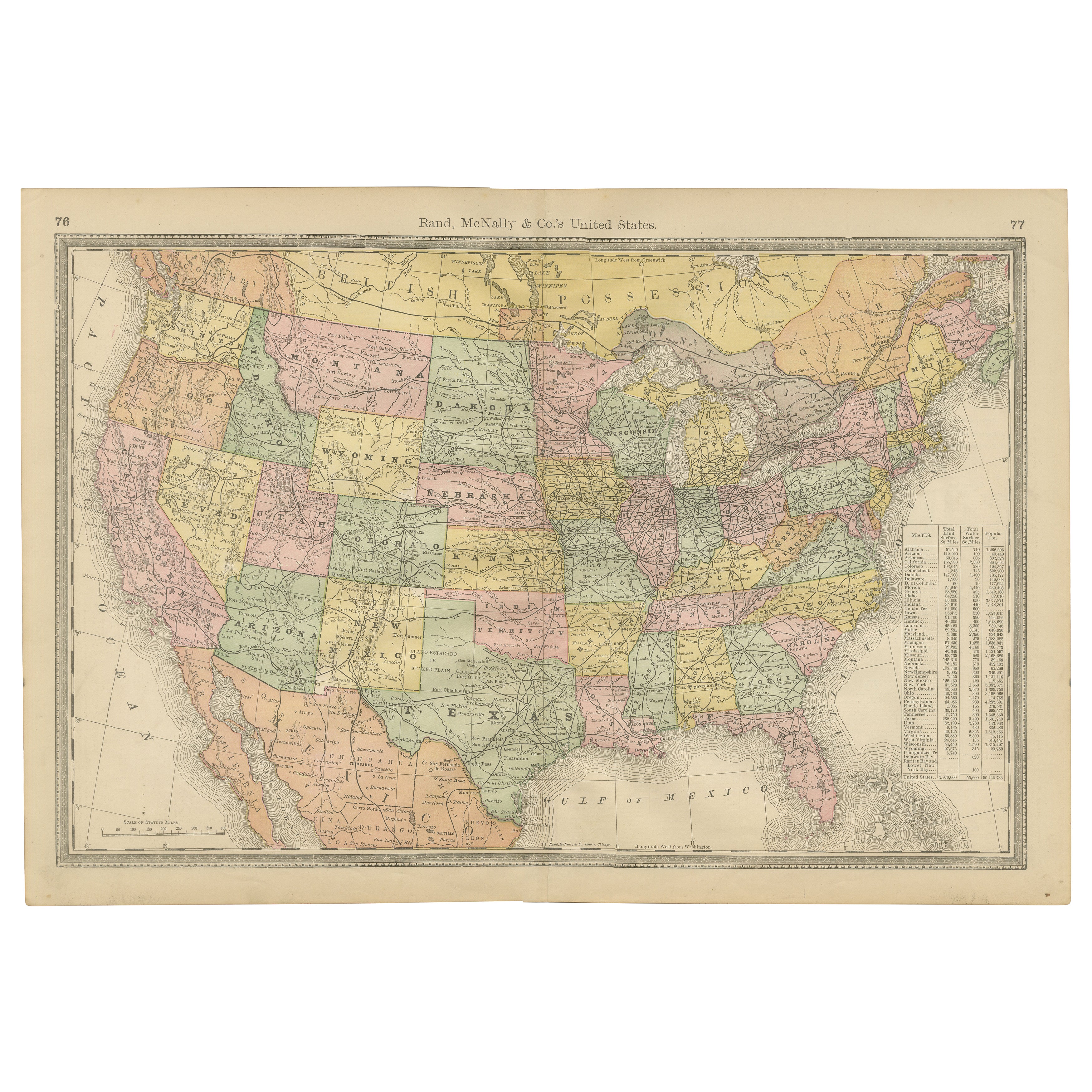
United States Antique Map c.1888 – Railroads, Territories & State Stats

United States Antique Map c.1888 – Railroads, Territories & State Stats

Located in Langweer, NL

Antique Map of the United States – Rand McNally, circa 1888 This antique map of the United States was published by Rand, McNally & Co. around 1888. It presents a colorful overview o...

Category

Antique Late 19th Century American Maps

Materials

Paper

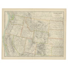
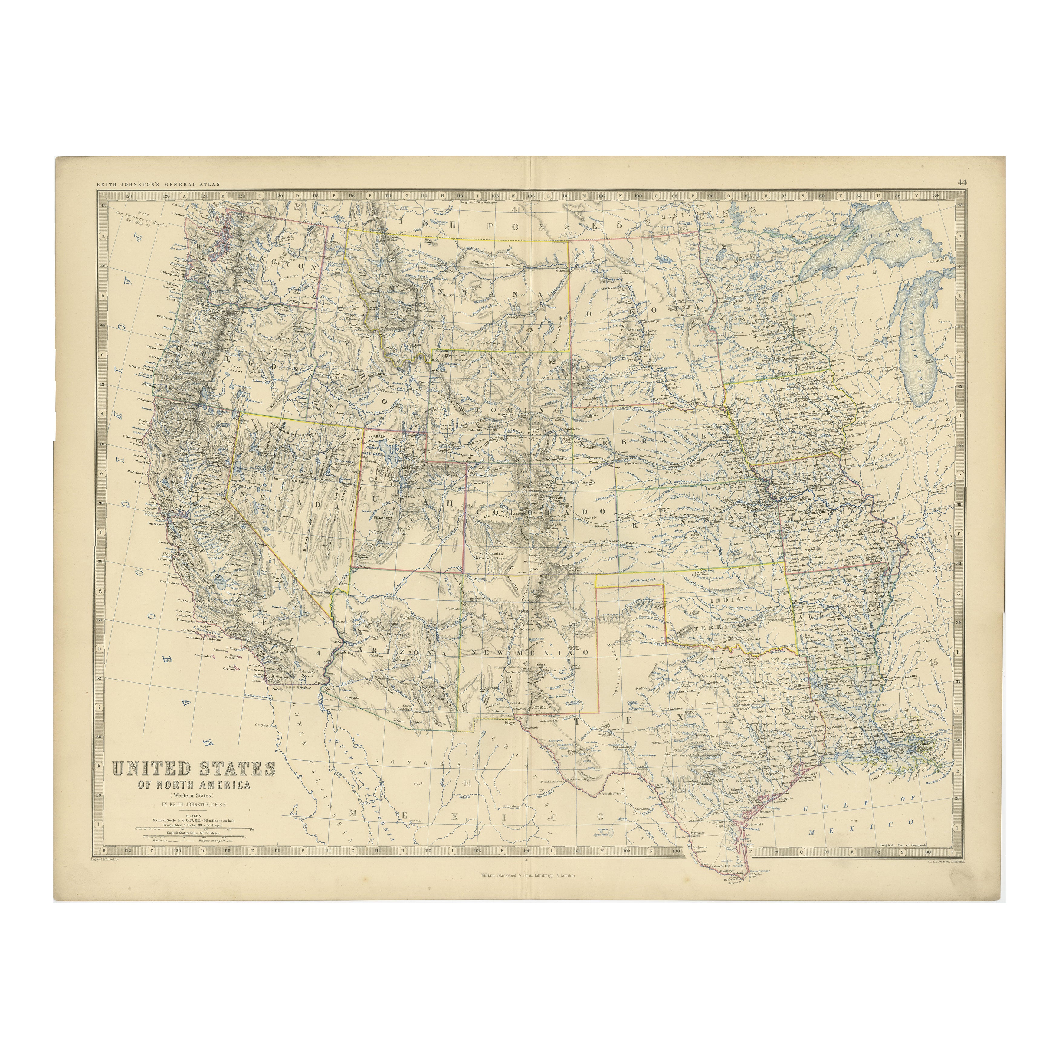
Antique Map of the United States 'North West' by Johnston, '1909'

Antique Map of the United States 'North West' by Johnston, '1909'

Located in Langweer, NL

Antique map titled 'United States of North America'. Original antique map of the United States of North America ( North West ). This map originates from the ‘Royal Atlas of Modern Ge...

Category

Early 20th Century Maps

Materials

Paper

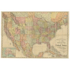
Antique Railroad Map of the United States by Rand, McNally & Co, 1900

Antique Railroad Map of the United States by Rand, McNally & Co, 1900

Located in Langweer, NL

Antique map titled 'Rand, McNally & Co's New Official Railroad map of the United States with portions of The Dominion of Canada, The Republic of Mexico and the West Indies'. Large railroad map of the United States, sectionalised and laid on linen. Map shows state boundaries for the United States, Mexico, the West Indies, and lower portion of Canada; major cities and towns, military posts, Native American reservations, and railroads; Oklahoma and "Indian Territory." Inset: "Map of Alaska...

Category

20th Century Maps

Materials

Linen, Paper

You May Also Like

Large Original Vintage Map of North America, circa 1920

Large Original Vintage Map of North America, circa 1920

Located in St Annes, Lancashire

Great map of North America Original color. Good condition Published by Alexander Gross Unframed.  

Category

Vintage 1920s English Edwardian Maps

Materials

Paper

Large Original Antique Map of the United States of America. 1891

Large Original Antique Map of the United States of America. 1891

By Rand McNally & Co.

Located in St Annes, Lancashire

Fabulous map of The United States Original color By Rand, McNally & Co. Dated 1891 Unframed Free shipping.

Category

Antique 1890s American Maps

Materials

Paper

Original Antique Map of the American State of Arizona & New Mexico, 1903

Original Antique Map of the American State of Arizona & New Mexico, 1903

Located in St Annes, Lancashire

Antique map of Arizona and New Mexico Published By A & C Black. 1903 Original colour Good condition Unframed. Free shipping

Category

Antique Early 1900s English Maps

Materials

Paper

Original Antique Map of the American State of South Dakota, 1903

Original Antique Map of the American State of South Dakota, 1903

Located in St Annes, Lancashire

Antique map of South Dakota Published By A & C Black. 1903 Original colour Good condition Unframed. Free shipping

Category

Antique Early 1900s English Maps

Materials

Paper