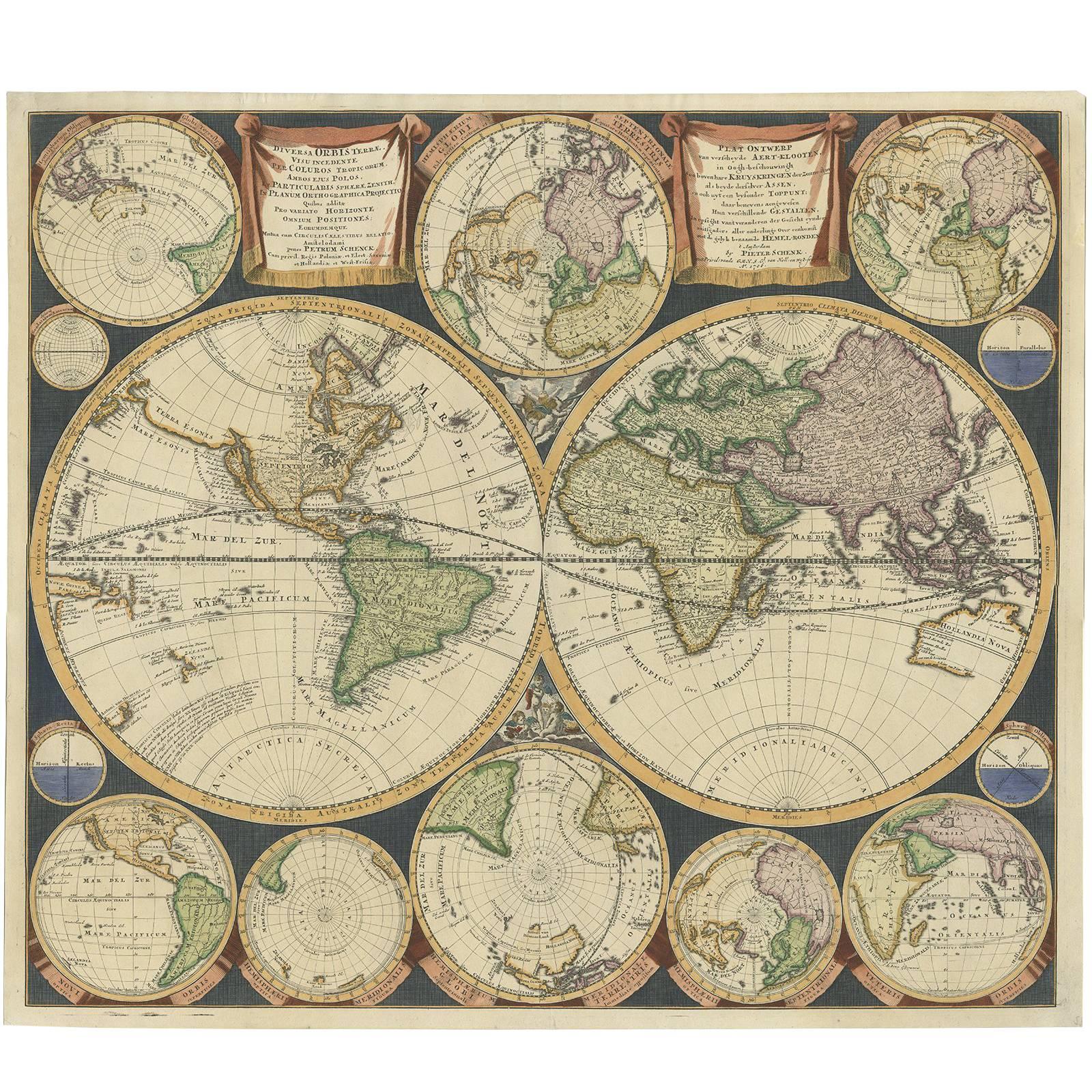
Colorful Detailed Antique Map of The World on Mercators Projection, 1882
Located in Langweer, NL
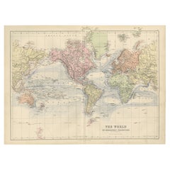
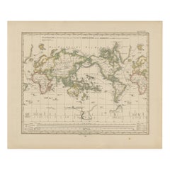
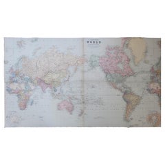
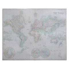
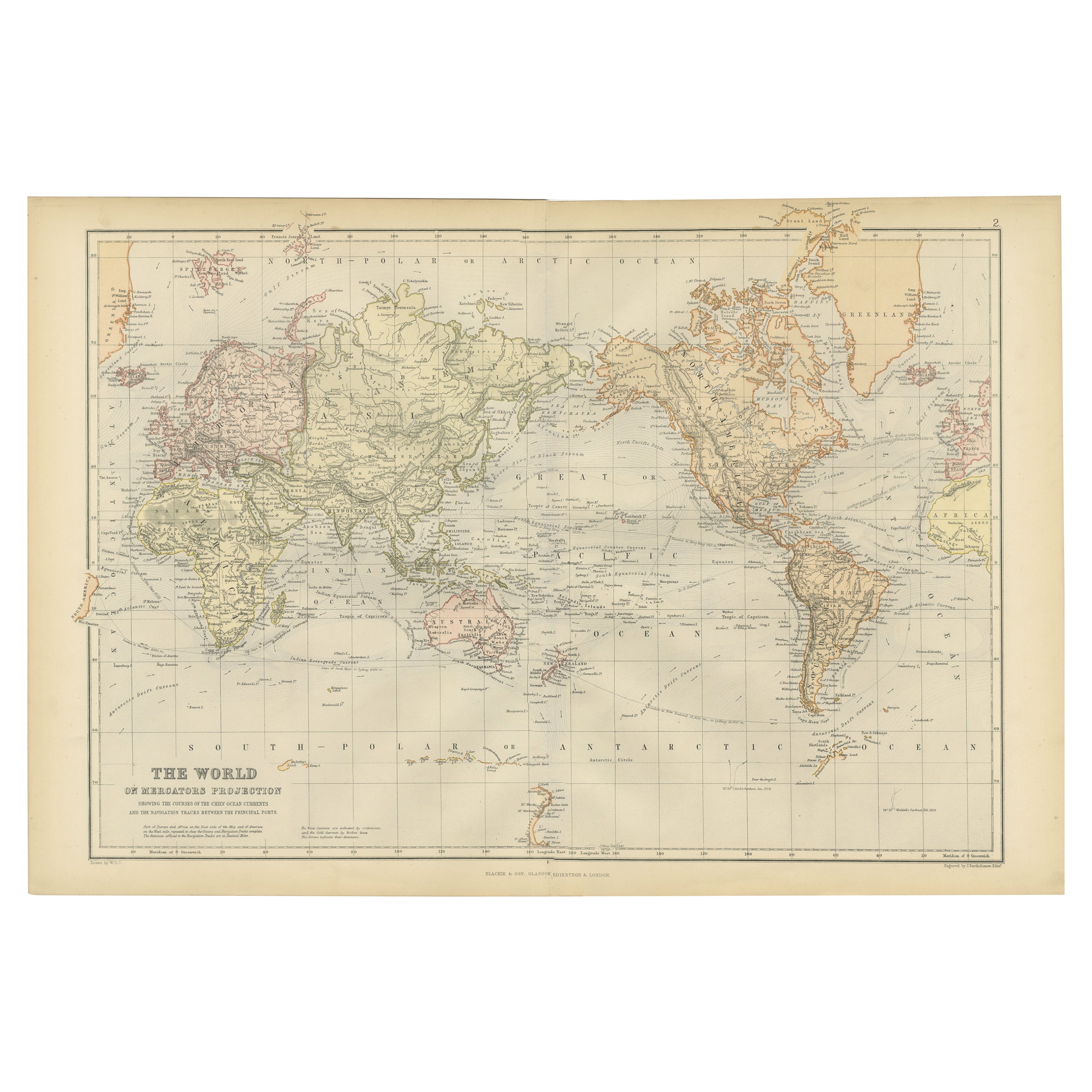
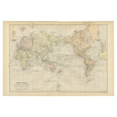
The 'World of Mercator's Projection' is a map with a stunning portrayal of global geography and maritime navigation from an era steeped in exploration and discovery. With meticulous detail and precision, this map showcases the world's continents on Mercator's famous projection, capturing the essence of a bygone era's cartographic expertise. Illustrating the courses of chief ocean currents and key navigation tracks between major ports, this map doesn't just depict landmasses but also reveals the vital maritime routes that shaped global trade and exploration. Each line and curve represents the pathways of ancient voyages and modern seafaring, connecting distant shores and continents. Crafted with the precision characteristic of Mercator's projection, this map offers a unique perspective on how sailors and explorers navigated the world's vast oceans. It stands as a testament to the artistry and scientific ingenuity of cartographers of that time, showcasing their commitment to accurate representation amid the challenges of mapping a spherical world on a flat surface. This map isn't just a historical document; it's a captivating piece of cartographic art...
Antique 1880s Maps
Paper