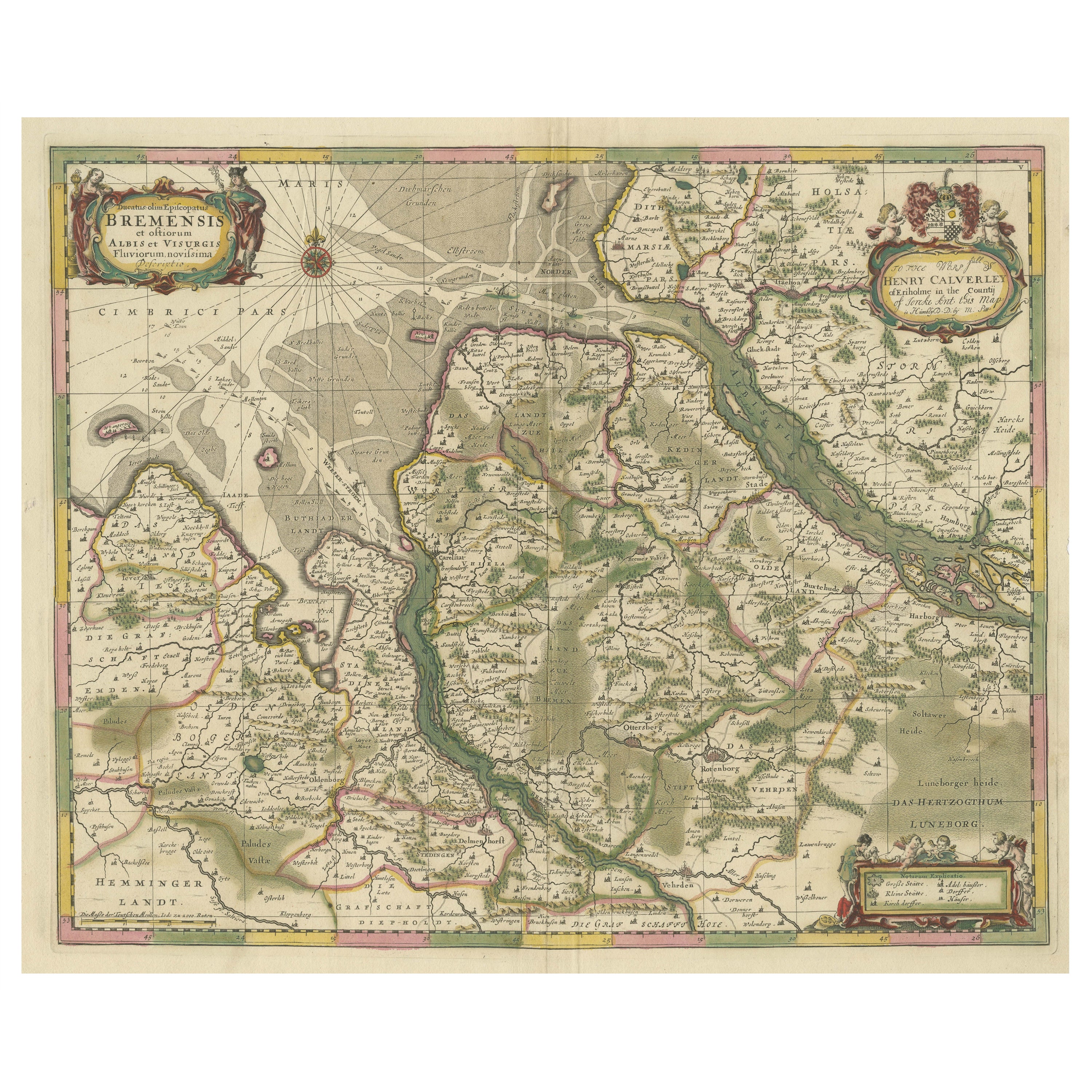
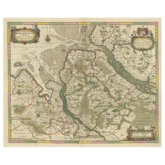
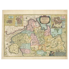
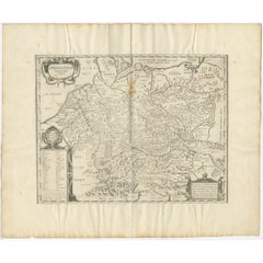
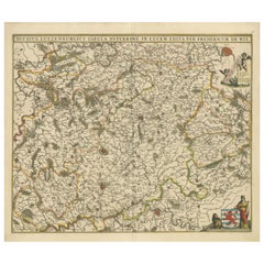
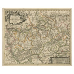
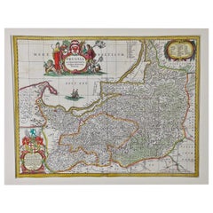
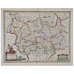
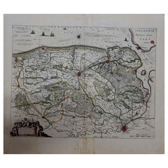
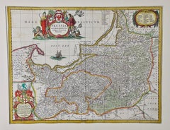
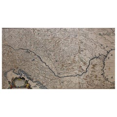
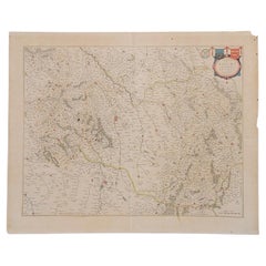
The map titled "Ducatus olim Episcopatus Bremensis et ostiorum Albis et Visurgis Fluviorum novissima Descriptio" by Johannes Janssonius provides a rich historical and geographical illustration of the Duchy of Bremen area during the 17th century.
Geographic Coverage:
- Geographical Detail: The map covers the area between the Elbe and Weser rivers, including the strategic river mouths essential for trade and navigation. It extends from the island of Wangeroog to Cloppenburg and Verden, encompassing a significant portion of what is now Lower Saxony, Germany.
- Cities and Towns: The map is densely populated with names of cities, towns, and smaller settlements, meticulously plotted. It provides a detailed view of the urban landscape during the period, highlighting important centers like Bremen, the duchy's capital Stade, and other significant towns like Verden and Cloppenburg.
Artistic Elements
- Cartouches: The map features beautifully decorated cartouches. The title cartouche in the top left is elaborate, providing historical context about the map's area and its significance. The top right houses a dedication cartouche, honoring Cornelius de Graaf of Amsterdam, adorned with an uncolored coat of arms held by putti, adding a noble flair.
- Compass Rose: Positioned in the North Sea, the compass rose is not just functional for orientation but also adds to the map’s aesthetic, emphasizing its nautical relevance.
- Mile Indicator: A practical and visually appealing mile indicator is located at the bottom left, scaled in Latin miles, which assists in understanding distances between various points on the map.
Historical Significance
- Temporal Context: The map depicts the Duchy of Bremen during its time under Swedish rule, following the Peace of Westphalia in 1648. This was a period of significant political realignment in Europe, especially in the Holy Roman Empire, of which the duchy was part.
- Purpose and Audience: Aimed at a scholarly or noble audience, the map serves both as a practical tool for understanding the geography and as a piece of political propaganda, illustrating the reach and governance of Swedish power in the Holy Roman Empire.
This map is a fascinating artifact, offering insights into the political, geographical, and cultural landscape of 17th-century northern Germany. It is a testament to the cartographic skill of Johannes Janssonius and a valuable piece for any collector interested in the cartography of the period or the historical dynamics of the region.
Johannes Janssonius was active as a cartographer during the early to mid-17th century. His major works were produced in the 1630s and 1640s.
Given that the Duchy of Bremen was formed in 1648 and this map depicts the region under Danish rule, it is likely that the map was produced sometime after 1648, possibly in the 1650s or later, when Janssonius was still active in producing maps.
The text in Latin on the map, "Ducatus olim Episcopatus Bremensis et ostiorum Albis et Visurgis Fluviorum novissima Descriptio", translates to "The latest description of the Duchy, formerly the Bishopric of Bremen, and the mouths of the Elbe and Weser Rivers" in English.
Description of the Text and Its Significance:
- Ducatus olim Episcopatus Bremensis: This refers to the area once known as the Bishopric of Bremen, which later became the Duchy of Bremen. The term "olim" signifies "formerly," indicating a historical change in status from a religious bishopric to a secular duchy.
- et ostiorum Albis et Visurgis Fluviorum: This part highlights the geographical features, specifically the estuaries ("ostiorum") of the Elbe ("Albis") and Weser ("Visurgis") Rivers. The focus on river mouths emphasizes the map’s utility in navigation and trade, significant for economic and military purposes.
- novissima Descriptio: This means "the latest description," suggesting that the map provides the most up-to-date cartographic information of its time.
The detailed inclusion of geographical, administrative, and historical elements in the text complements the visual detail of the map, providing viewers with a comprehensive understanding of the region’s importance during the 17th century. Such maps were crucial for navigation, trade, and asserting territorial claims, making this map a valuable resource for contemporary users and a historical artifact for collectors today.
Important Cities or Areas on the Map
1. Bremen: As the primary city of the Duchy of Bremen, it would be a central focus for map collectors. Bremen has been a major port and trading center, rich in Hanseatic League history.
2. Stade: Mentioned as the capital of the Duchy of Bremen post-1648. Stade held significant strategic and administrative importance during the time this map represents.
3. Hamburg: Although just outside the duchy, Hamburg is close enough to be of interest due to its major role in trade and as a Hanseatic city.
4. Verden: Another significant city in the region, Verden was part of the Bishopric that formed the Duchy with Bremen.
5. The Elbe and Weser Rivers: These rivers are crucial for their role in navigation and trade, making any regions along these waterways significant.
6. Cloppenburg and Wangeroog: Smaller towns and areas like these add local detail and interest for collectors, particularly those focusing on comprehensive regional mapping.
Historical Context Around 1650 in the Duchy of Bremen
During the mid-17th century, the Duchy of Bremen was experiencing significant changes. Here are some key points:
- Thirty Years' War (1618-1648): This devastating conflict affected much of Europe, including the Holy Roman Empire, of which the Duchy of Bremen was a part. The war had significant impacts on trade, population, and the overall economy.
- Peace of Westphalia (1648): This crucial treaty ended the Thirty Years' War and redefined many territorial boundaries. The Duchy of Bremen was formally established as a secular duchy after being a bishopric, indicating a shift from ecclesiastical to secular governance. It was awarded to Sweden, marking the start of Swedish rule.
- Swedish Rule: Post-1648, under Swedish governance, the Duchy of Bremen was managed as part of the Swedish Empire's territories within the Holy Roman Empire. This period was marked by administrative reforms and integration into Swedish imperial structures.
- Economic Recovery and Development: Following the ravages of the Thirty Years' War, the region would have been undergoing recovery and attempts at economic stabilization and growth, particularly through trade via the Elbe and Weser rivers.
For collectors or historians interested in this period, maps like the one produced by Janssonius serve not only as geographical records but also as historical documents that capture a snapshot of the political and cultural landscape during a transformative period in European history.