Video Loading
Want more images or videos?
Request additional images or videos from the seller
1 of 14

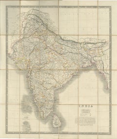
Large Antique Map of India – Post Roads and Dak Stations by James Wyld, c.1855

$1,540.15
£1,139.42
€1,300VAT Included
CA$2,131.64
A$2,139.10
CHF 1,247.55
MX$26,008.79
NOK 14,335.55
SEK 14,743.38
DKK 9,912.55

About the Item

Antique Map of India – Post Roads and Dak Stations by James Wyld, c.1855 This impressive antique map titled "India Shewing the Post Roads and Dak Stations" was engraved and published by James Wyld, Geographer to the Queen and H.R.H. Prince Albert, around 1855. It offers a detailed and comprehensive view of the Indian subcontinent during the height of British colonial rule, with a strong emphasis on infrastructure—particularly communication and postal routes. The map meticulously charts the entire network of post roads and dak stations (mail relay points) that connected British India, facilitating governance, military coordination, and trade. It also highlights newly established telegraph lines, reflecting the rapid modernization of colonial logistics in the mid-19th century. Colored lines differentiate the types of political territories, including British-controlled regions, protected states, subsidiary states, and independent states, with a color key located in the lower-left corner. Geographically, the map covers the full extent of the Indian subcontinent, stretching from Afghanistan and Punjab in the northwest to Burma in the east, and from the Himalayas in the north down to southern India and Ceylon (now Sri Lanka). Major rivers, cities, administrative regions, and coastal features are all finely engraved, providing an extraordinarily detailed snapshot of the subcontinent just before the Indian Rebellion of 1857. James Wyld (1812–1887) was among the most prominent British cartographers of the Victorian era. Known for both his accuracy and artistic presentation, Wyld’s maps were widely used by government officials, military personnel, merchants, and scholars. This map in particular would have been a key administrative tool, combining geographic precision with vital postal and telegraphic information. Condition: Very good condition. Original hand-coloring. Minor age toning and faint foxing at the outer margins. No tears or repairs. Strong impression on quality paper with clean detail throughout. Framing tips: This map is best presented in a large traditional frame in dark wood or black with gold accents. A cream or light grey mat will highlight the delicate coloring and fine engraving. Technique: Copperplate engraving with original hand color Maker: James Wyld, London, c.1855
  • Dimensions:
    Height: 33.08 in (84 cm)Width: 23.35 in (59.3 cm)Depth: 0.01 in (0.2 mm)
  • Materials and Techniques:
    Paper,Engraved
  • Place of Origin:
  • Period:
  • Date of Manufacture:
    circa 1855
  • Condition:
    Condition: Very good condition. Original hand-coloring. Minor age toning and faint foxing at the outer margins. No tears or repairs. Strong impression on quality paper with clean detail throughout. Fold line as issued.
  • Seller Location:
    Langweer, NL
  • Reference Number:
    Seller: BG-13776-11stDibs: LU3054346159232

More From This Seller

View All
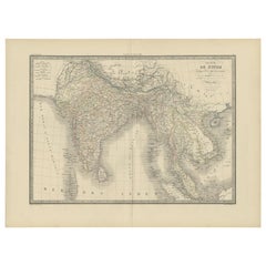
Antique Map of India & Southeast Asia – Chevalier Engraving, Malte-Brun, 1853

Antique Map of India & Southeast Asia – Chevalier Engraving, Malte-Brun, 1853

Located in Langweer, NL

Antique Map of India and Southeast Asia – Chevalier Engraving from Malte-Brun’s Atlas, 1853 This beautifully engraved map titled “Inde, comprenant les Empires de la Chine, de l’Indo...

Category

Antique Mid-19th Century English Maps

Materials

Paper
Mid-19th Century Decorative Map of India with Cultural and Natural Vignettes

Mid-19th Century Decorative Map of India with Cultural and Natural Vignettes

Located in Langweer, NL

The Tallis maps, including the one of India, are known for their detailed and ornamental style. They were produced during the mid-19th century, a time when cartographic publishing became as much an art form as a means of geographic representation. John Tallis & Company, founded by John Tallis, was known for creating maps with elaborate borders and vignettes surrounding the map itself. These maps often included illustrations that depicted scenes representative of the region's culture, significant local wildlife, architectural landmarks, and portraits of indigenous peoples...

Category

Antique 1850s Maps

Materials

Paper


Johnston's Travelling Map of India on Linen in Original Cloth, 1857

Johnston's Travelling Map of India on Linen in Original Cloth, 1857

Located in Langweer, NL

Johnston's Travelling Map of India on Linen in Original Cloth, 1857 An exceptionally rare and historically important travelling map of the Indian subcontinent, published by the reno...

Category

Antique Mid-19th Century British Maps

Materials

Paper, Linen

Antique Map of India and Ceylon by Pierre M. Lapie, Paper, 1842

Antique Map of India and Ceylon by Pierre M. Lapie, Paper, 1842

Located in Langweer, NL

Antique map titled 'Carte de l'Inde en deca et au dela du Gange'. Map of India and Ceylon (Sri Lanka). This map originates from 'Atlas universel de géographie ancienne et moderne (.....

Category

Antique Mid-19th Century French Maps

Materials

Paper

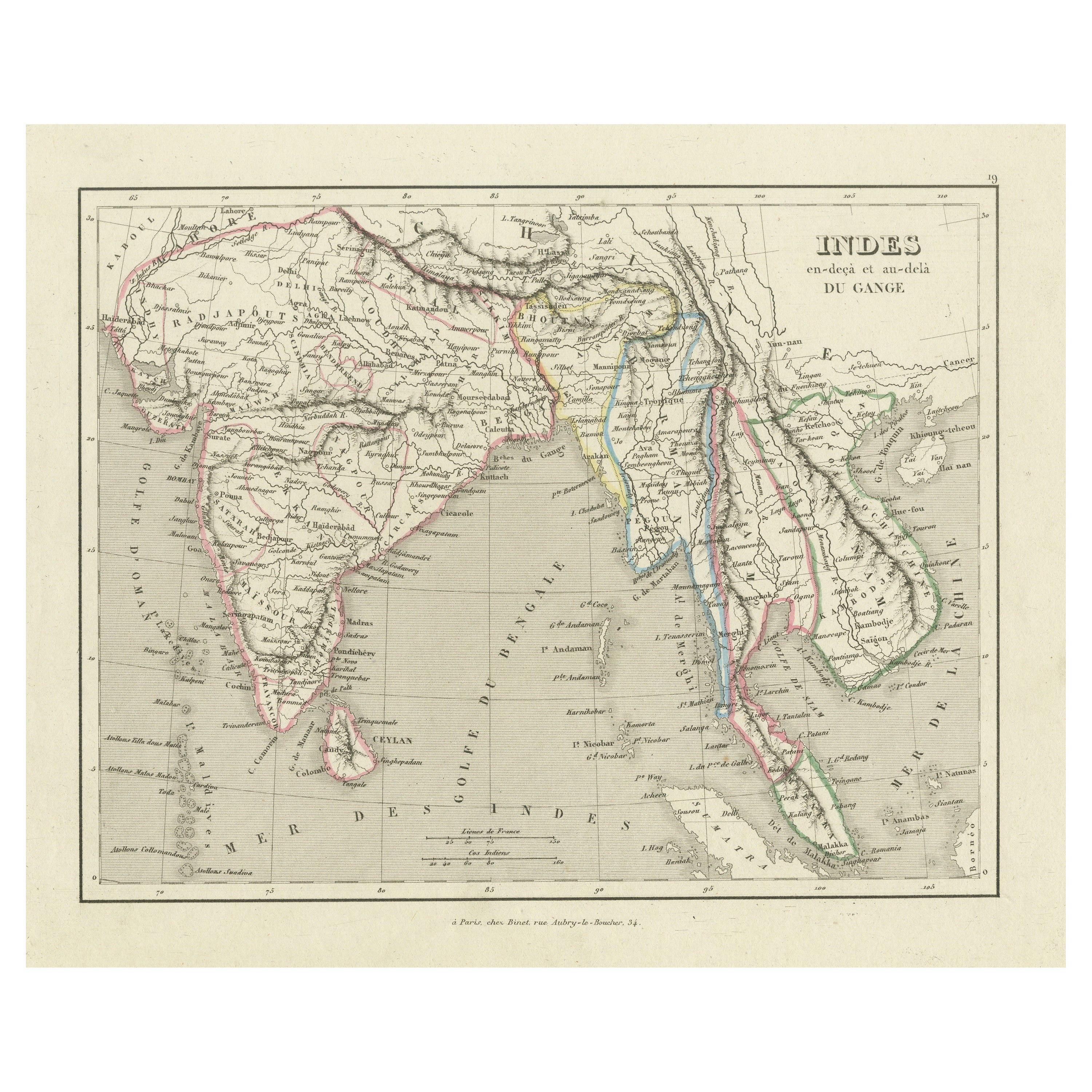
Antique Map of India and Southeast Asia by Balbi '1847'

Antique Map of India and Southeast Asia by Balbi '1847'

Located in Langweer, NL

Antique map titled 'India en deçà et au delà du Gange'. Original antique map of India and Souteast Asia. This map originates from 'Abrégé de Géographie (..)' by Adrien Balbi. Publish...

Category

Antique Mid-19th Century Maps

Materials

Paper

Antique Map of Southern India and South Eastern Provinces, 1903

Antique Map of Southern India and South Eastern Provinces, 1903

Located in Langweer, NL

Title: Antique Map of Southern India and South Eastern Provinces, 1903, with Intricate Detail Description: This antique map, titled "India (Southern Sheet) and the South Eastern Pro...

Category

Early 20th Century Maps

Materials

Paper

You May Also Like

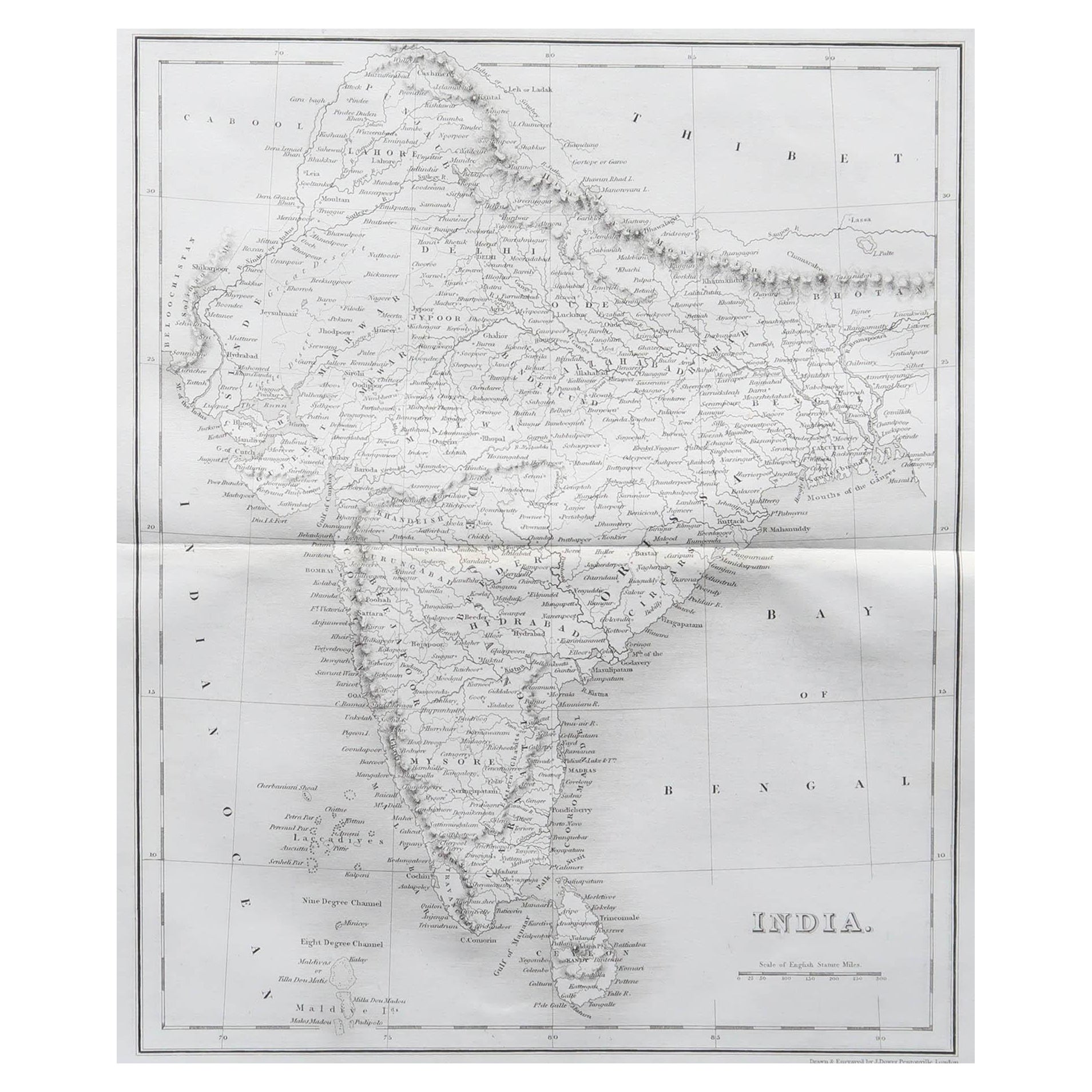
Original Antique Map of India by Dower, circa 1835

Original Antique Map of India by Dower, circa 1835

Located in St Annes, Lancashire

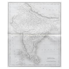
Nice map of India Drawn and engraved by J.Dower Published by Orr & Smith. C.1835 Unframed. Free shipping

Category

Antique 1830s English Maps

Materials

Paper
Large Original Vintage Map of India, circa 1920

Large Original Vintage Map of India, circa 1920

Located in St Annes, Lancashire

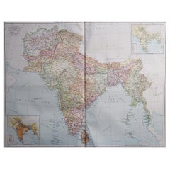
Great map of India Original color. Good condition / repair to some minor damage just above Sri Lanka. Shown in the last image. Published by Alexander Gross Unframed.

Category

Vintage 1920s English Maps

Materials

Paper

Original Antique Map of The Eastern Hemisphere by Dower, circa 1835

Original Antique Map of The Eastern Hemisphere by Dower, circa 1835

Located in St Annes, Lancashire

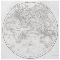
Nice map of the Eastern Hemisphere Drawn and engraved by J.Dower Published by Orr & Smith. C.1835 Unframed. Free shipping

Category

Antique 1830s English Maps

Materials

Paper

Antique 1803 Italian Map of Asia Including China Indoneseia India

Antique 1803 Italian Map of Asia Including China Indoneseia India

Located in Amsterdam, Noord Holland

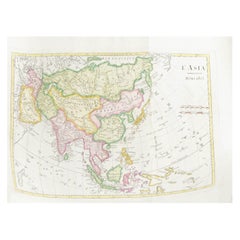
Antique 1803 Italian Map of Asia Including China Indoneseia India Very nice map of Asia. 1803. Additional information: Type: Map Country of Manufacturing: Europe Period: 19th centu...

Category

Antique 19th Century European Maps

Materials

Paper

Original Antique Map of South Italy By J.Dower. Unframed, Circa 1835

Original Antique Map of South Italy By J.Dower. Unframed, Circa 1835

Located in St Annes, Lancashire

Great map of South Italy Drawn and engraved by J.Dower Published by Orr & Smith. C.1835 Unframed. Free shipping

Category

Antique 1830s English Maps

Materials

Paper

Large Original Antique Map of The World, Fullarton, C.1870

Large Original Antique Map of The World, Fullarton, C.1870

Located in St Annes, Lancashire

Great map of the World. Showing both hemispheres From the celebrated Royal Illustrated Atlas Lithograph. Original color. Published by Fullarton, Edinburgh, C.1870 Unframed. Rep...

Category

Antique 1870s Scottish Maps

Materials

Paper