Want more images or videos?
Request additional images or videos from the seller
1 of 10

Netherlands East Indies Map with Java Inset – Nieuwe Hand-Atlas, 1876

$486.07
£359.27
€410VAT Included
CA$670.42
A$674.34
CHF 392.92
MX$8,215.85
NOK 4,518.83
SEK 4,635.41
DKK 3,125.76

About the Item

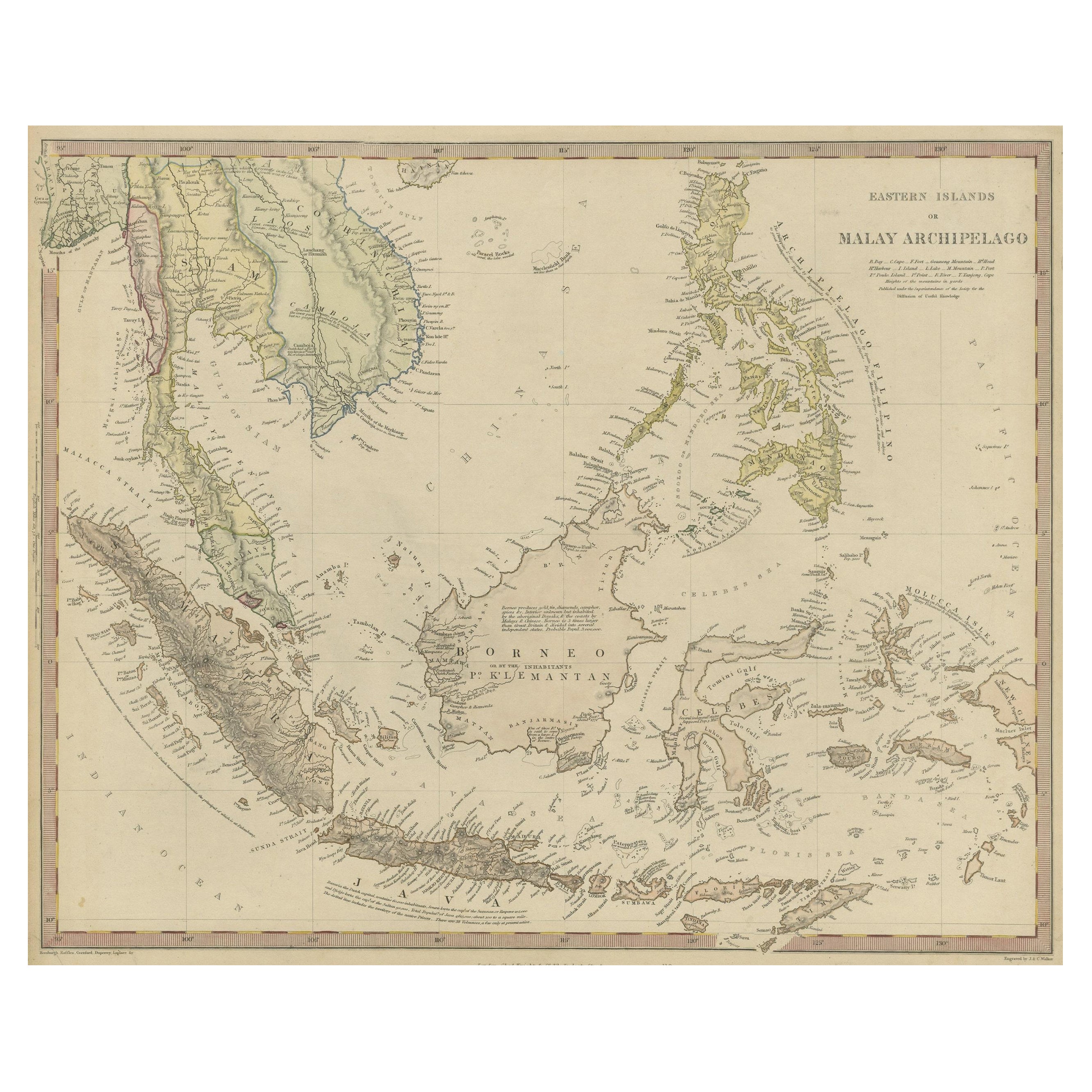
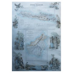
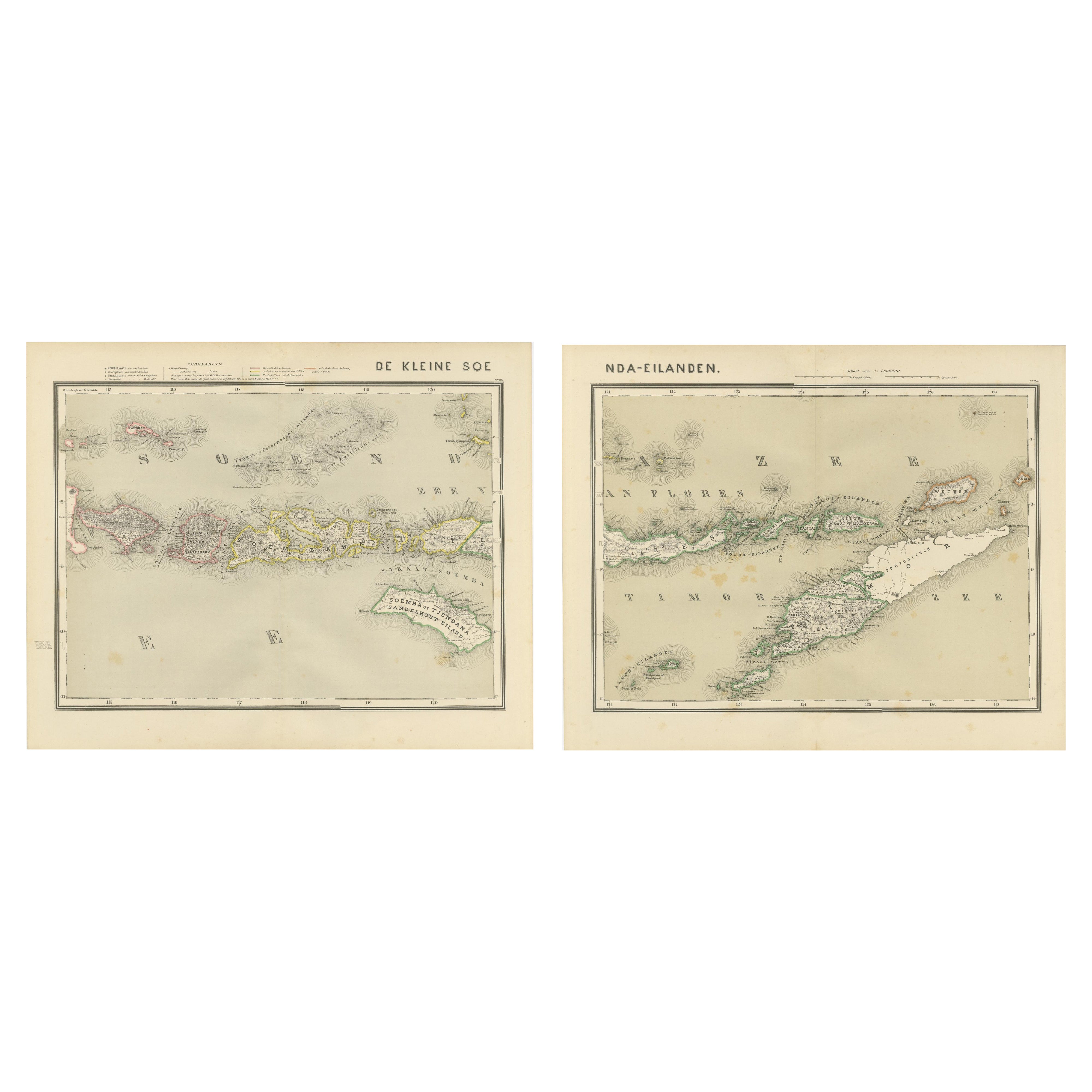
Netherlands East Indies Map with Java Inset – Nieuwe Hand-Atlas, 1876 This impressive 19th-century map titled “Nederlandsch Oost-Indië” presents the Dutch colonial territories in Southeast Asia with exceptional clarity and detail. Published in 1876 in the *Nieuwe Hand-Atlas der Aarde in haren Tegenwoordigen Toestand* by M. Frijlink, revised by A. van Otterloo, and produced by D. Noothoven van Goor in Leiden, the plate offers a full geographical overview of the Netherlands East Indies at a time when Dutch influence in the archipelago was rapidly consolidating. The map spans Sumatra, Java, Borneo, Celebes (Sulawesi), the Moluccas, Timor, Bali, Lombok, Flores, Sumba, Sumbawa, the Banda Islands, Buru, Ceram, New Guinea, and parts of the Malay Peninsula. Each island group is precisely engraved, and political divisions, residency boundaries, mountains, rivers, and transport routes are clearly marked. Place names appear in their 19th-century Dutch forms—Batavia, Buitenzorg, Soerakarta, Madura, Makassar, Padang, Palembang, and many others—providing an important historical reference for scholars of Indonesian colonial history. Hand-colored outlines distinguish administrative regions and residencies, while the fine line engraving captures coastal contours, mountain chains, river deltas and volcanic features that shaped the archipelago’s geography. Java receives its own large inset occupying the entire lower half of the sheet, reflecting its central importance to Dutch colonial administration and its dense network of cities, roads, sugar plantations, and regencies. Additional inset maps include: • **Sumatra’s west coast**, showing Padang and the Minangkabau highlands • **Timor and surrounding islands** • **Ambon and the Moluccas** (the historic spice islands) • **Celebes and the Gulf of Tomini** • **The Lesser Sunda Islands** (Bali to Timor) • **Borneo residency divisions** • **Detailed harbour plans**, including Batavia and Makassar Together these elements make the map an outstanding reference for the Dutch East Indies during the late colonial period. It represents not just geography but also trade networks, maritime routes, and administrative structure, all rendered with the elegance and scientific precision characteristic of Dutch cartography of the era. Condition Report: Good, with expected light toning and occasional foxing, mostly at the margins. Original center fold as issued. The engraved image is sharp and the hand-coloring remains soft and even. No tears, holes, or repairs. Framing Tips: A warm ivory or cream mat suits the soft 19th-century color palette. A dark wood, black, or teak-tone frame complements Southeast Asian interior themes and gives the map a strong presence. Because of the many attractive inset maps, a slightly wider mat enhances readability and visual balance. Keywords: Netherlands East Indies, Dutch East Indies, Indonesia, Java, Sumatra, Borneo, Kalimantan, Celebes, Sulawesi, Bali, Lombok, Sumbawa, Flores, Timor, Moluccas, Spice Islands, Ambon, Banda, Ceram, Buru, Aceh, Minangkabau, Padang, Palembang, Batavia, Jakarta, Buitenzorg, Bogor, Soerakarta, Surakarta, Jogjakarta, Makassar, Menado, Kupang, Riau, Malay Peninsula, New Guinea, Papua, colonial Indonesia, VOC history, 19th century Indonesia map, 1876 Dutch East Indies map, Nieuwe Hand-Atlas.
  • Dimensions:
    Height: 17.33 in (44 cm)Width: 21.66 in (55 cm)Depth: 0.01 in (0.2 mm)
  • Materials and Techniques:
  • Place of Origin:
  • Period:
  • Date of Manufacture:
    1876
  • Condition:
    Condition Report: Good, with expected light toning and occasional foxing, mostly at the margins. Original center fold as issued. The engraved image is sharp and the hand-coloring remains soft and even. No tears, holes, or repairs.
  • Seller Location:
    Langweer, NL
  • Reference Number:
    Seller: BG-12788-231stDibs: LU3054347570982

More From This Seller

View All
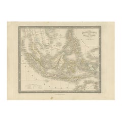
Antique Map of the East Indies by Van der Aa '1849'

Antique Map of the East Indies by Van der Aa '1849'

Located in Langweer, NL

Antique map titled 'Kaart van Nederlands OostIndie door A.J. van der Aa'. Old map of the Dutch East Indies. This map originates from 'Nederlands Oost-Indië, of beschrijving der Neder...

Category

Antique Mid-19th Century Maps

Materials

Paper

Antique Map of the Dutch East Indies by Van den Bosch '1818'

Antique Map of the Dutch East Indies by Van den Bosch '1818'

Located in Langweer, NL

Antique map titled 'Kaart der Nederlandsche Bezittingen in Oost-Indiën'. Rare and attractive map of the Dutch East Indies, it shows the Dutch possessions in the 19th century. This ...

Category

Antique Early 19th Century Maps

Materials

Paper

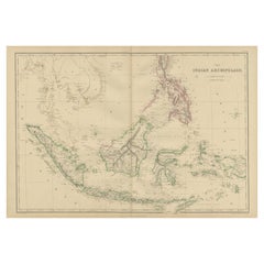
Antique Map of the East Indies by A & C. Black, 1870

Antique Map of the East Indies by A & C. Black, 1870

Located in Langweer, NL

Antique map titled 'Indian Archipelago and Further India including Burmah, Siam, Anam &c'. Original antique map of Indian Archipelago and Further India. This map originates from ‘Bla...

Category

Antique Late 19th Century Maps

Materials

Paper

Antique Map of the East Indies by Wyld '1845'

Antique Map of the East Indies by Wyld '1845'

Located in Langweer, NL

Antique map titled 'Archipelago of the Indian Ocean'. Original antique map of the East Indies. This map originates from 'An Atlas of the World, Comprehending Separate Maps of its Var...

Category

Antique Mid-19th Century Maps

Materials

Paper

Antique Map of the East Indies by W. G. Blackie, 1859

Antique Map of the East Indies by W. G. Blackie, 1859

Located in Langweer, NL

Antique map titled 'The Indian Archipelago'. Original antique map of the East Indies. This map originates from ‘The Imperial Atlas of Modern Geography’. Published by W. G. Blackie, 1...

Category

Antique Mid-19th Century Maps

Materials

Paper

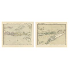
Antique Two-Sheet Map of the Lesser Sunda Islands, Dutch East Indies - 1884

Antique Two-Sheet Map of the Lesser Sunda Islands, Dutch East Indies - 1884

Located in Langweer, NL

Antique Two-Sheet Map of the Lesser Sunda Islands by Dornseiffen, Dutch East Indies, 1884 This impressive two-sheet antique map set depicts the Lesser Sunda Islands (De Kleine Soen...

Category

Antique 1880s Dutch Maps

Materials

Paper

You May Also Like

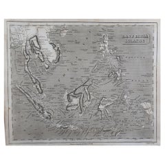
Original Antique Map of South East Asia by Thomas Clerk, 1817

Original Antique Map of South East Asia by Thomas Clerk, 1817

Located in St Annes, Lancashire

Great map of South East Asia Copper-plate engraving Drawn and engraved by Thomas Clerk, Edinburgh. Published by Mackenzie And Dent, 1817 Unframed.

Category

Antique 1810s English Maps

Materials

Paper

Large Original Antique Map of Java and Borneo, Fullarton, C.1870

Large Original Antique Map of Java and Borneo, Fullarton, C.1870

Located in St Annes, Lancashire

Great map of Java and Borneo Wonderful figurative borders From the celebrated Royal Illustrated Atlas Lithograph. Original color. Published by Fullarton, Edinburgh. C.1870 Unfr...

Category

Antique 1870s Scottish Maps

Materials

Paper

Antique French Map of Asia Including China Indoneseia India, 1783

Antique French Map of Asia Including China Indoneseia India, 1783

Located in Amsterdam, Noord Holland

Very nice map of Asia. 1783 Dedie au Roy. Additional information: Country of Manufacturing: Europe Period: 18th century Qing (1661 - 1912) Condition: Overall Condition B (Good Used)...

Category

Antique 18th Century European Maps

Materials

Paper

Original Antique Map of South Italy By J.Dower. Unframed, Circa 1835

Original Antique Map of South Italy By J.Dower. Unframed, Circa 1835

Located in St Annes, Lancashire

Great map of South Italy Drawn and engraved by J.Dower Published by Orr & Smith. C.1835 Unframed. Free shipping

Category

Antique 1830s English Maps

Materials

Paper