Want more images or videos?
Request additional images or videos from the seller
1 of 6

Original Antique 17th-Century Map of Shaangxi (Xensi) Province, China – by Blaeu

$1,658.13
£1,227.24
€1,400VAT Included
CA$2,294.31
A$2,301.53
CHF 1,344.07
MX$28,021.84
NOK 15,433.72
SEK 15,894.34
DKK 10,673.96

About the Item

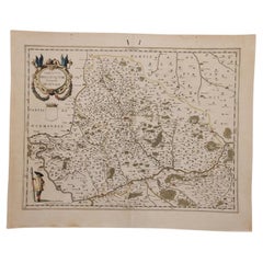
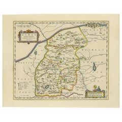
Antique 17th-Century Map of Shaangxi Province, China – "Xensi" by Blaeu, Featuring Decorative Cartouches Description: This exquisite 17th-century map of Shaangxi Province, historically known as Xensi Province, is an exceptional work by Johannes Blaeu, one of the most celebrated mapmakers of the Dutch Golden Age. Originally published in Blaeu's groundbreaking 'Novus Atlas Sinensis', this map is a masterful blend of geography and artistry. Blaeu's atlas was created in collaboration with Martino Martini, a Jesuit missionary whose insights into China provided European audiences with unprecedented geographical accuracy. The map meticulously charts Shaangxi's mountains, rivers, mines, cities, and towns, with names rendered in Latin. It also features a detailed section of the Great Wall of China, a symbol of the region's historical significance. The artistry of this map is further enhanced by its elaborate cartouches. At the top, a Chinese warrior is beautifully illustrated, while the lower-left corner displays a deer, possibly a reference to the elusive Pere David deer, a species unknown in Europe until the 19th century. These elements combine to create a visual narrative that bridges geographic detail with cultural and artistic expression. Crafted using the copperplate engraving technique, the map's precision and fine details are further accentuated by vibrant hand-coloring, making it a remarkable collector's item and a testament to Blaeu's skill and reputation. Shaanxi Province, historically referred to as "Xensi," is famous for its role in the early history of Chinese civilization and its rich cultural heritage. It was the site of many ancient capitals, including Chang’an (modern-day Xi’an), which served as the capital during the Tang Dynasty and other historical periods. Shaanxi is also known as the starting point of the Silk Road, making it a vital region for trade and cultural exchange between East and West. Important places in the region include Xi’an, famous for its ancient city wall and the Terracotta Army, an archaeological wonder that guards the tomb of Emperor Qin Shi Huang. The region is also home to the Great Wall of China’s westernmost sections and the Yellow River, which played a crucial role in the development of Chinese agriculture and civilization. The Huashan Mountains, one of China’s Five Great Mountains, are located here and hold cultural and religious significance. Keywords include antique map of Shaanxi, Xensi map, Silk Road map, Great Wall of China, Terracotta Army, Chang’an, 17th-century China map, Blaeu map, Novus Atlas Sinensis, Martino Martini, decorative cartouche, copperplate engraving, hand-colored map, Chinese cartography, and Dutch Golden Age maps. These keywords reflect the historical and artistic value of the map, appealing to collectors and enthusiasts of Chinese history and cartography. Condition: Excellent. Strong impression with vibrant hand-coloring and wide margins. Light age-toning typical of a work of this period. Framing Tips: Highlight the map's historic and artistic value with a museum-grade mat and an ornate gilt or dark wood frame. Use UV-protective glass to safeguard the hand-coloring and details for future generations.
  • Dimensions:
    Height: 18.9 in (48 cm)Width: 23.04 in (58.5 cm)Depth: 0.01 in (0.2 mm)
  • Materials and Techniques:
    Paper,Engraved
  • Period:
    1650-1659
  • Date of Manufacture:
    1655
  • Condition:
    Condition: Excellent and rare in this condition, considering the map is almost 400 years old! Strong impression with vibrant hand-coloring and wide margins. Light age-toning typical of a work of this period.
  • Seller Location:
    Langweer, NL
  • Reference Number:
    Seller: BGCP-0131stDibs: LU3054343470242

More From This Seller

View All
Original Antique 17th-Century Map of Shanxi (Xansi) Province, China – by Blaeu

Original Antique 17th-Century Map of Shanxi (Xansi) Province, China – by Blaeu

Located in Langweer, NL

Antique 17th-Century Map of Shanxi Province, China – "Xansi" by Blaeu, with Artistic Cartouches Description: This beautifully engraved map of Shanxi Province, historically referred to as "Xansi," was created by Johannes Blaeu in 1655 as part of his renowned *Novus Atlas Sinensis*. This atlas was the first comprehensive Western collection focused on Chinese geography, produced with the guidance of Jesuit missionary Martino Martini. Blaeu’s attention to detail and artistic flair are evident in this representation of Shanxi, highlighting mountains, rivers, cities, towns, and key geographic features. The Great Wall of China, an iconic landmark, is also depicted. The map includes decorative cartouches that enhance its aesthetic appeal. The upper-left corner features the map's title framed in an ornate design, while the lower-right corner showcases a seated figure in traditional Chinese attire alongside a small globe, symbolizing the merging of European cartographic expertise and Chinese knowledge. Each city and geographic feature is labeled in Latin, making it a fascinating historical artifact of cross-cultural exploration. This map was crafted using the copperplate engraving technique, prized for its ability to produce fine, precise details. It is further embellished with hand-coloring, which brings the landscape and decorative elements to life. Blaeu’s maps are highly regarded for their accuracy, artistry, and historical significance, making this piece a valuable collectible. Shanxi Province, historically referred to as "Xansi," is renowned for its historical significance, natural landscapes, and rich cultural heritage. The region has been a crucial center of Chinese history and culture for centuries. Its name, meaning "West of the Mountains," refers to its location west of the Taihang Mountains. Shanxi has long been known for its coal resources, which have made it an important economic hub in modern times. Important places in Shanxi include Pingyao, a UNESCO World Heritage Site known for its well-preserved ancient city walls and traditional Chinese architecture. The Yungang Grottoes, near Datong, are another UNESCO site, famous for their intricate Buddhist carvings and statues. Mount Wutai, one of China’s Four Sacred Buddhist Mountains, is a significant religious site that attracts pilgrims and tourists alike. Taiyuan, the provincial capital, is known for its historical sites, including the Jinci Temple. Shanxi is also known for its role in the early development of Chinese banking, particularly during the Ming and Qing Dynasties. Keywords include antique map of Shanxi, Xansi map, Pingyao, Yungang Grottoes, Mount Wutai, 17th-century China map...

Category

Antique 1650s Maps

Materials

Paper

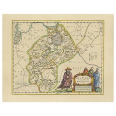
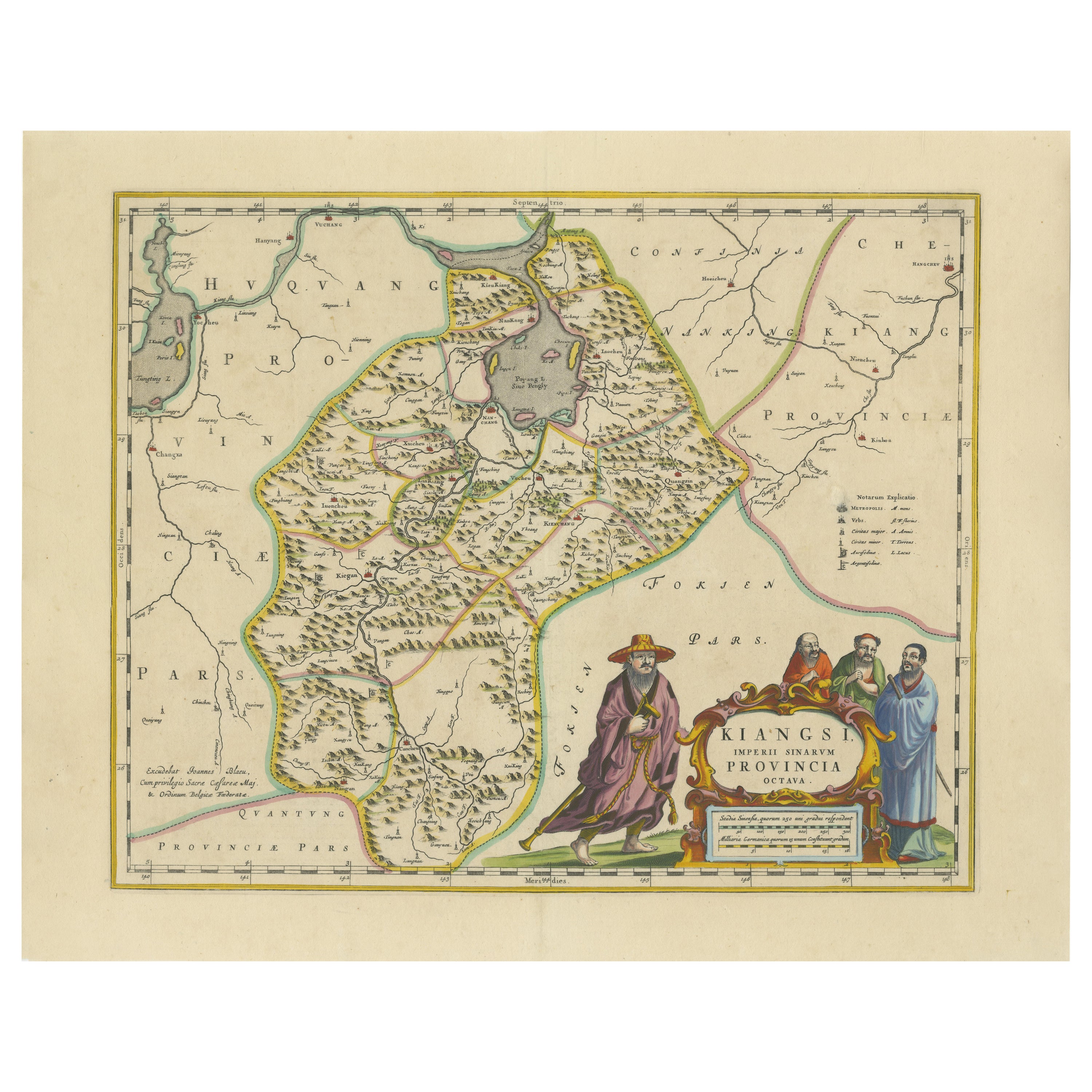
17th-Century Antique Map of Jiangxi (Kiangsi) Province, China – by Blaeu

17th-Century Antique Map of Jiangxi (Kiangsi) Province, China – by Blaeu

Located in Langweer, NL

Title: 17th-Century Antique Map of Jiangxi Province, China – "Kiangsi" by Blaeu, Detailed and Vibrantly Colored Description: This detailed 17th-century map of Jiangxi Province, historically referred to as "Kiangsi," was created by Johannes Blaeu and published in 1655 as part of the *Novus Atlas Sinensis*. Jiangxi, located in southeastern China, is known for its cultural heritage, scenic landscapes, and significant contributions to Chinese history. The map meticulously charts Jiangxi’s geography, including mountain ranges, rivers, and cities, with place names rendered in Latin. Poyang Lake, one of the largest freshwater lakes in China, is prominently depicted, emphasizing the region’s ecological and economic importance. The map also highlights key cities such as Nanchang, the provincial capital, which has long been a cultural and political center, and Jingdezhen, globally famous as the center of Chinese porcelain production. The decorative cartouche in the lower-right corner features traditional Chinese figures, adding cultural depth to the map. Blaeu’s craftsmanship is evident in the precise copperplate engraving and the vibrant hand-coloring, which enhances the boundaries and natural features, making this map both a functional document and a work of art. Condition: Nearly excellent. Sharp impression with vivid hand-coloring. Wide margins with minor age-toning appropriate for its age. Framing Tips: Use a neutral double mat and an ornate gilt or dark wood frame to highlight the map’s historical and artistic value. UV-protective glass is recommended to preserve the hand-coloring and intricate details. Jiangxi, historically referred to as "Kiangsi," is famous for its rich cultural history, stunning landscapes, and economic contributions. It has been a key region for porcelain production, with Jingdezhen renowned as the "Porcelain Capital" of the world. Poyang Lake, featured prominently on the map, is vital for fishing, transportation, and its ecological significance. The province’s location along the Gan River has historically made it an important transportation corridor. Nanchang, the provincial capital, is noted for its historical landmarks and political significance in modern Chinese history. Keywords include: antique map of Jiangxi, Kiangsi map, Poyang Lake, Jingdezhen porcelain, 17th-century China map...

Category

Antique 1650s Maps

Materials

Paper

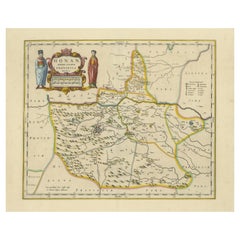
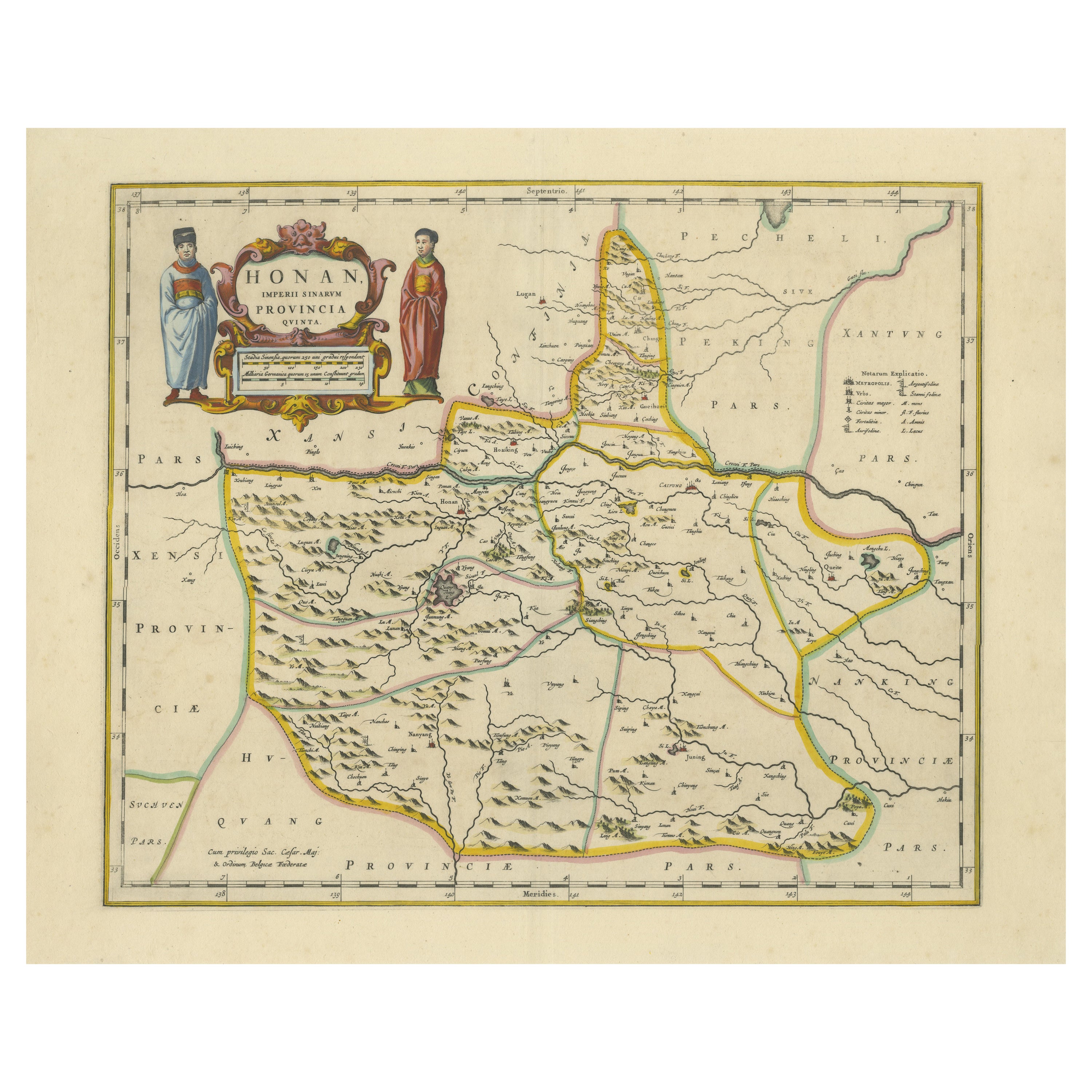
Original 17th-Century Antique Map of Henan (Honan) Province, China – by Blaeu

Original 17th-Century Antique Map of Henan (Honan) Province, China – by Blaeu

Located in Langweer, NL

17th-Century Antique Map of Henan Province, China – "Honan" by Blaeu, with Detailed Cartography and Artistic Cartouches Description: This exceptional 17th-century map of Henan Province, historically referred to as "Honan," was created by Johannes Blaeu and published in 1655 as part of the *Novus Atlas Sinensis*. Henan, located in central China, is known as the cradle of Chinese...

Category

Antique 1650s Maps

Materials

Paper

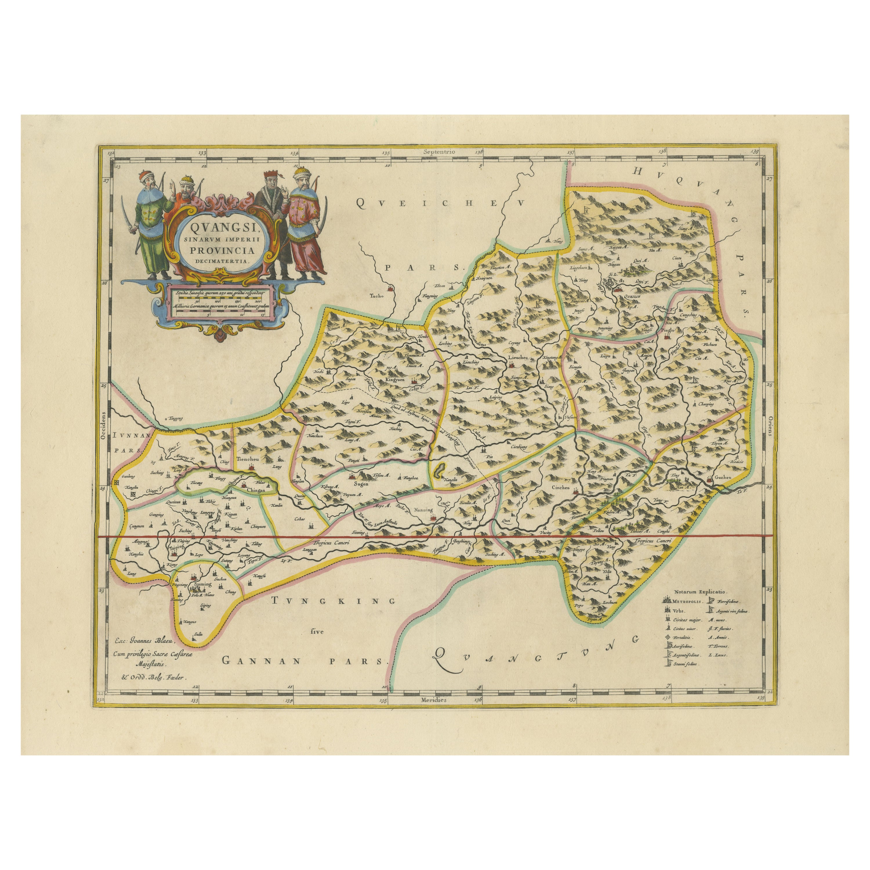
17th-Century Original Antique Map of Guangxi Province, China – Qvangsii by Blaeu

17th-Century Original Antique Map of Guangxi Province, China – Qvangsii by Blaeu

Located in Langweer, NL

Title: Antique 17th-Century Map of Guangxi Province, China – "Qvangsii" by Blaeu, Richly Illustrated and Colored Description: This fascinating 17th-century map of Guangxi Province, historically referred to as "Qvangsii," was crafted by Johannes Blaeu and published in 1655 as part of the *Novus Atlas Sinensis*. Blaeu’s atlas, created in collaboration with Jesuit missionary Martino Martini, introduced European audiences to the geography of China in an unprecedented way. Guangxi Province, known for its striking karst landscapes and important historical trade routes, is depicted here in remarkable detail. The map highlights the province’s topography, including mountain ranges, rivers, and towns, all meticulously engraved and labeled in Latin. It also captures key trade connections and cultural significance, as Guangxi historically served as a bridge between China and Southeast Asia. The decorative cartouche at the top left is adorned with figures in traditional Chinese costumes, symbolizing the cultural richness of the region and adding artistic elegance to the map. This map was engraved using the copperplate technique, known for its ability to produce fine, detailed lines. The hand-coloring further enhances the visual impact, clearly distinguishing territorial divisions and natural features. Blaeu’s reputation for both accuracy and artistry is evident in this piece, making it a collector’s item of historical and aesthetic significance. Guangxi Province, historically referred to as "Qvangsii," is renowned for its breathtaking natural beauty, unique karst landscapes, and cultural diversity. It is famous for its dramatic limestone formations, verdant hills, and picturesque rivers, making it one of the most visually striking regions in China. Guangxi has historically been a significant trade corridor between China and Southeast Asia, contributing to its cultural and economic importance. It is also home to various ethnic minority groups, including the Zhuang, Miao, and Dong, whose traditions and festivals enrich the region's cultural tapestry. Important places in Guangxi include Guilin, known for its iconic karst mountains and the Li River, which has inspired poets and artists for centuries. Yangshuo, a town near Guilin, is celebrated for its stunning natural scenery and outdoor activities. Nanning, the provincial capital, is an important economic and cultural hub. The Longji Rice Terraces, also known as the Dragon’s Backbone, are an engineering marvel and a popular tourist destination. Beihai, a coastal city, is known for its silver beaches and maritime trade history. Keywords for this map include 17th-century China map, Guangxi Province, Qvangsii map, antique Chinese maps...

Category

Antique 1650s Maps

Materials

Paper

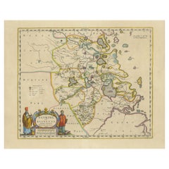
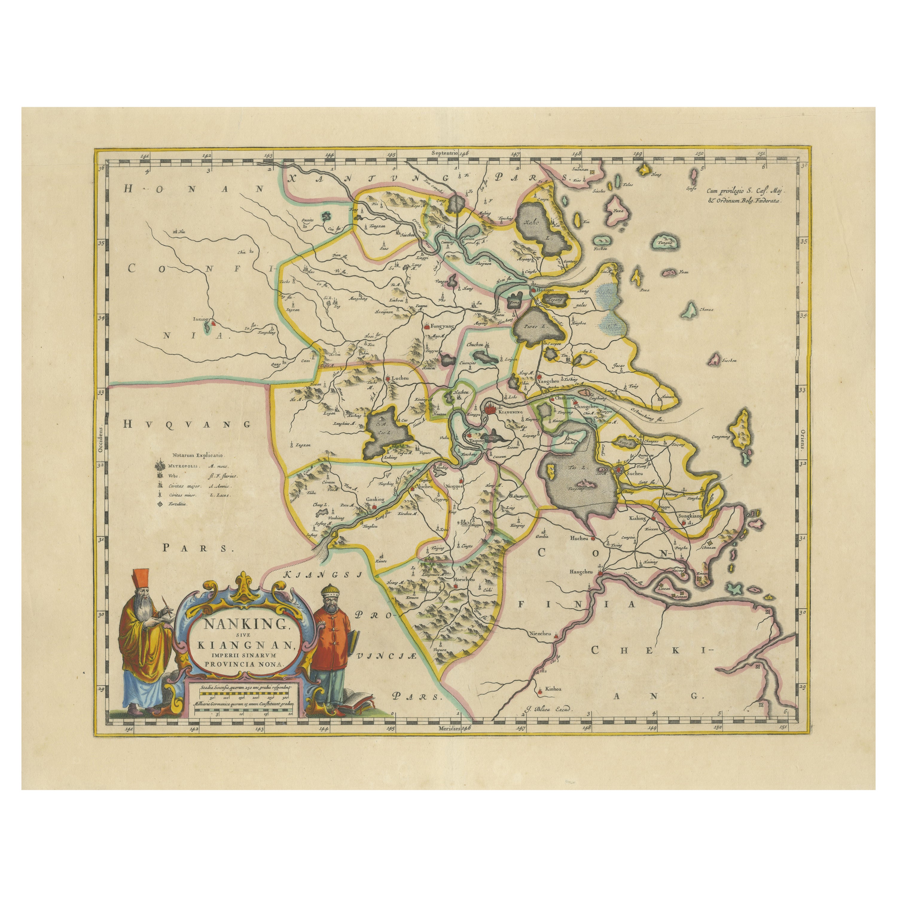
Original 17th-Century Antique Map of Nanjing Province, China – by Blaeu

Original 17th-Century Antique Map of Nanjing Province, China – by Blaeu

Located in Langweer, NL

Title: 17th-Century Antique Map of Nanjing Province, China – "Nanking sive Kiangnan" by Blaeu, with Decorative Details Description: This captivating 17th-century map of Nanjing Pr...

Category

Antique 1650s Dutch Maps

Materials

Paper

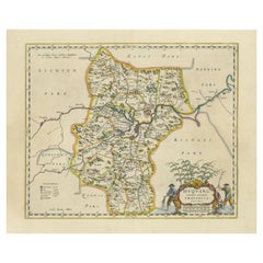
17th-Century Original Antique Map of Hunan and Hubei Provinces, China – by Blaeu

17th-Century Original Antique Map of Hunan and Hubei Provinces, China – by Blaeu

Located in Langweer, NL

Title: 17th-Century Antique Map of Hunan and Hubei Provinces, China – "Hvqvang" by Blaeu, Richly Detailed and Illustrated Description: This beautiful 17th-century map of the regions that now comprise Hunan and Hubei Provinces, historically referred to as "Hvqvang," was created by Johannes Blaeu and published in 1655 as part of the *Novus Atlas Sinensis*. This map, drawn with input from Jesuit missionary Martino Martini, provides a meticulous representation of central China’s geography, capturing its rivers, towns, and mountainous terrain. The Yangtze River (Changjiang) is prominently featured, emphasizing the region’s importance as a vital waterway for trade and transportation. Wuhan, now a modern metropolis, and Changsha, the capital of Hunan Province, were historically significant cities that appear on the map. The area is also notable for its fertile lands and contributions to China’s agricultural prosperity, particularly in rice and tea production. The decorative cartouche in the lower-right corner features two figures in traditional Chinese attire standing amid bamboo, symbolizing the cultural and natural richness of the region. Blaeu’s map combines precision and artistry, with vibrant hand-coloring distinguishing boundaries and geographical features. The copperplate engraving ensures fine detail, making this map a remarkable historical artifact. Condition: Near excellent. Clean impression with vivid hand-coloring. Wide margins with minor age-toning appropriate for its age. Framing Tips: Use a neutral double mat and a gilt or dark wood frame to enhance the presentation. UV-protective glass is recommended to preserve the vivid hand-coloring and intricate engraving details. Hunan and Hubei, historically referred to as "Hvqvang," are known for their strategic location along the Yangtze River and their cultural and economic significance in Chinese history. The region’s fertile lands have supported extensive rice cultivation, earning it the title of one of China’s "breadbaskets." Hubei, with Wuhan at its center, has long been a hub of transportation and trade, owing to the convergence of the Yangtze and Han Rivers. Hunan, with Changsha as its capital, is known for its rich cultural heritage and contributions to Chinese literature and art. Important places in the region include Wuhan, an ancient trade center, and Changsha, known for its historical sites and cultural prominence. The Yangtze River, a key feature on the map, highlights the region’s historical importance as a major waterway for commerce and agriculture. Other notable features include Dongting Lake, a vital ecological and cultural landmark, and the surrounding mountainous areas that have shaped the region’s history and development. Keywords: antique map of Hunan, Hubei map, Hvqvang map, Yangtze River map, 17th-century Chinese map...

Category

Antique 1650s Maps

Materials

Paper

You May Also Like

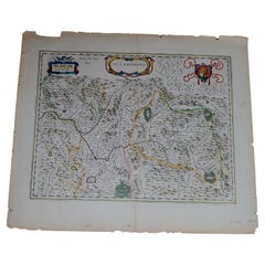
1633 Map Entitled "Beauvaisis Comitatus Belova Cium, Ric.0002

1633 Map Entitled "Beauvaisis Comitatus Belova Cium, Ric.0002

Located in Norton, MA

1633 map entitled "Beauvaisis Comitatus Belova Cium," Hand Colored Ric.0002 Description: Cartographer : - Hondius, Henricus 1587-1638 Artists and Engravers:Jodocus Hondius, one of the most notable engravers of his time. He is known for his work in association with many of the cartographers and publishers prominent at the end of the sixteenth and the beginning of the seventeenth century. A native of Flanders, he grew up in Ghent, apprenticed as an instrument and globe maker and map engraver. In 1584, to escape the religious troubles sweeping the Low Countries at that time, he fled to London where he spent some years before finally settling in Amsterdam about 1593. In the London period he came into contact with the leading scientists and geographers of the day and engraved maps in The Mariner\\\\\\\\\\\\\\\'s Mirrour, the English edition of Waghenaer\\\\\\\\\\\\\\\'s Sea Atlas, as well as others with Pieter van den Keere, his brother-in-law. No doubt his temporary exile in London stood him in good stead, earning him an international reputation, for it could have been no accident that Speed chose Hondius to engrave the plates for the maps in The Theatre of the Empire of Great Britaine in the years between 1605 and 1610. In 1604 Hondius bought the plates of Mercator\\\\\\\\\\\\\\\'s Atlas which, in spite of its excellence, had not competed successfully with the continuing demand for the Ortelius Theatrum Orbis Terrarum. To meet this competition Hondius added about 40 maps to Mercator\\\\\\\\\\\\\\\'s original number and from 1606 published enlarged editions in many languages, still under Mercator\\\\\\\\\\\\\\\'s name but with his own name as publisher. These atlases have become known as the Mercator/Hondius series. The following year the maps were reengraved in miniature form and issued as a pocket Atlas Minor. After the death of Jodocus Hondius the Elder in 1612, work on the two atlases, folio and miniature, was carried on by his widow and sons, Jodocus II and Henricus, and eventually in conjunction with Jan Jansson in Amsterdam. In all, from 1606 onwards, nearly 50 editions with increasing numbers of maps with texts in the main European languages were printed. Summaries of these issues are given under the entry for Gerard Mercator. Jodocus Hondius the Elder * 1588 Maps in The Mariner\\\\\\\\\\\\\\\'s Mirrour (Waghenaer/Ashley) * 1590 World Map...

Category

Antique 17th Century Dutch Maps

Materials

Paper

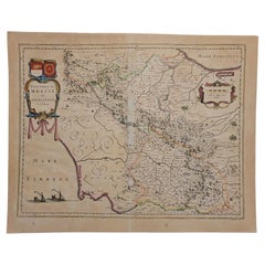
1640 Joan Bleau Map Entitled"Diocecese de rheims et le pais de rethel, " Eic.a011

1640 Joan Bleau Map Entitled"Diocecese de rheims et le pais de rethel, " Eic.a011

Located in Norton, MA

1640 Joan Bleau map entitled "Diocecese de rheims et le pais de rethel," Ric.a011 OAN BLAEU Diocecese de Rheims, et le pais de Rethel. Handcolored engraving, c.1640. ...

Category

Antique 17th Century Dutch Maps

Materials

Paper