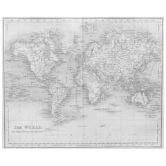
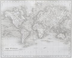
Original Antique Map of The World by Dower, circa 1835
Located in St Annes, Lancashire
Nice map of the World Drawn and engraved by J.Dower Published by Orr & Smith. C.1835 Unframed. Free shipping
Category
English Antique 1830s Maps
Materials
Paper
Original Antique Map of The World by Dower, circa 1835
Located in St Annes, Lancashire
Nice map of the World Drawn and engraved by J.Dower Published by Orr & Smith. C.1835 Unframed. Free shipping
Paper
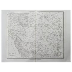
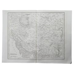
Original Antique Map of Iran By J.Dower. Unframed, Circa 1835
Located in St Annes, Lancashire
Great map of Iran Drawn and engraved by J.Dower Published by Orr & Smith. C.1835 Unframed. Free shipping
Paper
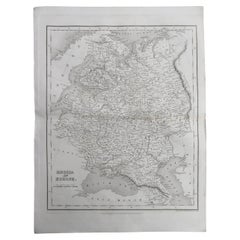
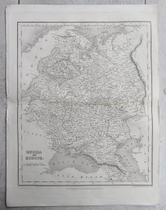
Original Antique Map of Russia By J.Dower. Unframed, Circa 1835
Located in St Annes, Lancashire
Great map of Russia Drawn and engraved by J.Dower Published by Orr & Smith. C.1835 Unframed. Free shipping
Paper
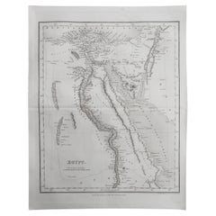
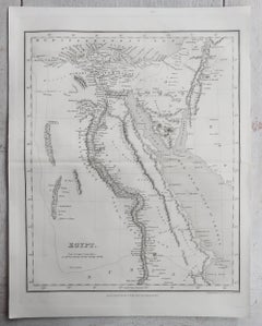
Original Antique Map of Egypt By J.Dower. Unframed, Circa 1835
Located in St Annes, Lancashire
Great map of Egypt Drawn and engraved by J.Dower Published by Orr & Smith. C.1835 Unframed. Free shipping
Paper
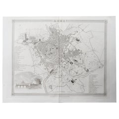
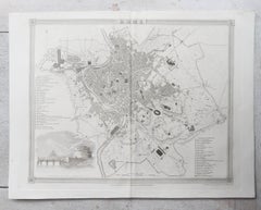
Original Antique Map / City Plan of Rome By J.Dower. Unframed, Circa 1835
Located in St Annes, Lancashire
Great map of Rome Drawn and engraved by J.Dower Published by Orr & Smith. C.1835 Unframed. Free shipping
Paper
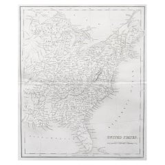
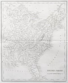
Original Antique Map of The United States of America by Dower, circa 1835
Located in St Annes, Lancashire
Nice map of the USA Drawn and engraved by J.Dower Published by Orr & Smith. C.1835 Unframed. Free shipping
Paper
$359Sale Price|20% Off
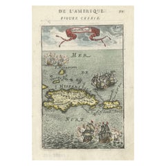
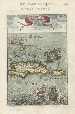
Antique 1683 Map of Hispaniola and Puerto Rico in the Caribbean by Mallet
Located in Langweer, NL
Title: 17th Century Map of Hispaniola and Puerto Rico by Mallet (1683) This exquisite 17th-century map by Mallet, titled "I. d'Hispaniola et P.to Rico," showcases the islands of Hispaniola and Puerto Rico with remarkable detail. Published in Paris in 1683 as part of Mallet's monumental "Description de l'Univers," this map is a prime example of historical cartography from the era. Map Features: - Detailed depiction of Hispaniola and Puerto Rico - Nearby islands: Inagua islands, Mayaguana, Île-à-Vache, Saona, and Mona - Three illustrated naval battles surrounding the islands - Hand-colored illustrations typical of the period - Published in Paris, 1683, as part of the "Description de l'Univers" - Engraved with artistic and geographic precision Collectors and enthusiasts of antique maps will appreciate the historical significance and artistic detail of this rare print. Although small, the map is perfect for framing and this map serves as a captivating piece of history, reflecting the maritime exploration and territorial knowledge of the late 17th century. The maker of the map is Allain Manesson Mallet, a notable 17th-century cartographer, military engineer, and author. Born in Paris in 1630, Mallet served in the French army and worked as a military engineer under Louis XIV. He later became a professor of mathematics and military architecture. Mallet is best known for his monumental work, "Description de l'Univers," published in Paris in 1683. This extensive publication is considered one of the greatest works of its kind in the 17th century, providing detailed descriptions and maps of various parts of the world. Mallet's maps are renowned for their artistic quality, intricate details, and the inclusion of illustrative elements such as ships, sea creatures, and topographical features. Mallet's contributions to cartography and his work in "Description de l'Univers" have left a lasting impact on the field, making his maps highly valued by collectors and historians. Keywords: - 17th-century map - Mallet map 1683 - Hispaniola map - Puerto Rico map - Antique Caribbean map...
Paper
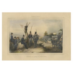
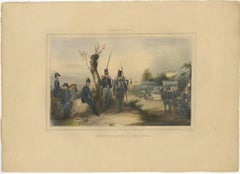
Decorative Print of the Belgium Army with Ambulance Troops in the Field, 1833
Located in Langweer, NL
One nicely hand coloured print of an original serie of 23 plates, published in 1833. Rare. From a serie of beautiful lithographed plates with Belgian military...
Paper
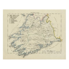
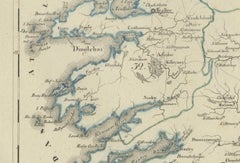
Antique 1830 Map of Munster, Ireland with Limerick, Cork, Kerry and Tipperary
Located in Langweer, NL
Title: Antique 1830 Map of Munster, Ireland with Limerick, Cork, Kerry, and Tipperary Description: This 1830 German-language map, titled Britisches Reich – C. Kon: Ireland, focu...
Paper
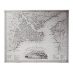
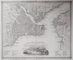
Original Antique Map or City Plan of Istanbul, Turkey. Circa 1835
Located in St Annes, Lancashire
Nice map of Istanbul Drawn and engraved by J.Dower Published by Orr & Smith. C.1835 Unframed. Free shipping
Paper
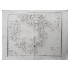
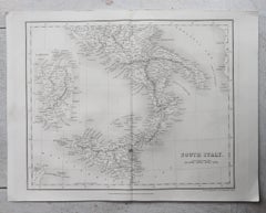
Original Antique Map of South Italy By J.Dower. Unframed, Circa 1835
Located in St Annes, Lancashire
Great map of South Italy Drawn and engraved by J.Dower Published by Orr & Smith. C.1835 Unframed. Free shipping
Paper
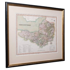
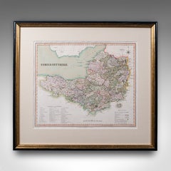
Antique County Map of Somerset, English, Framed Cartography, Regency, Circa 1830
Located in Hele, Devon, GB
This is an antique county map of Somerset. An English, framed historical cartographic reference behind glass, dating to the Regency period, circa 1830. Fine atlas excerpt of the cou...
Glass, Paper
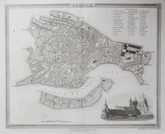
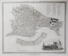
Original Antique Map or City Plan of Venice, Italy. Circa 1835
Located in St Annes, Lancashire
Nice map of Venice Drawn and engraved by J.Dower Published by Orr & Smith. C.1835 Unframed. Free shipping
Paper
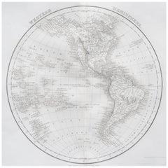
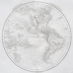
Original Antique Map of The Western Hemisphere by Dower, circa 1835
Located in St Annes, Lancashire
Nice map of the Western Hemisphere Drawn and engraved by J.Dower Published by Orr & Smith. C.1835 Unframed. Free shipping
Paper
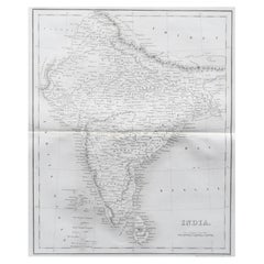
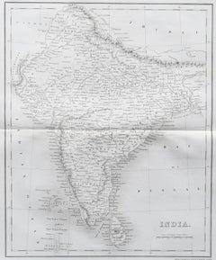
Original Antique Map of India by Dower, circa 1835
Located in St Annes, Lancashire
Nice map of India Drawn and engraved by J.Dower Published by Orr & Smith. C.1835 Unframed. Free shipping
Paper
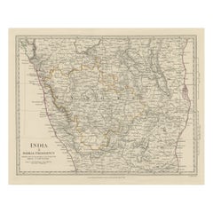
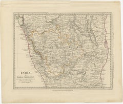
Old Steel Engraved Map of the Western Part of the Madras Presidency, 1831
Located in Langweer, NL
Antique map titled 'India II Madras Presidency'. Old steel engraved map of the western part of the Madras Presidency. The Madras Presidency, or the Presidency of Fort St. George, a...
Paper
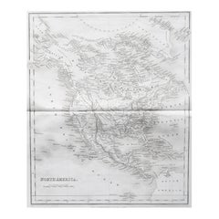
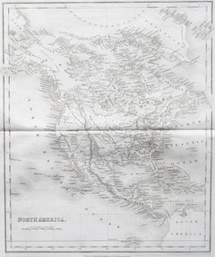
Original Antique Map of North America by Dower, circa 1835
Located in St Annes, Lancashire
Nice map of North America Drawn and engraved by J.Dower Published by Orr & Smith. C.1835 Unframed. Free shipping
Paper
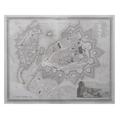
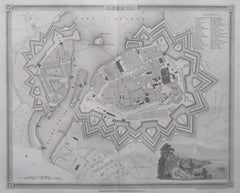
Original Antique Map or City Plan of Geneva, Switzerland. Circa 1835
Located in St Annes, Lancashire
Nice map of Geneva Drawn and engraved by J.Dower Published by Orr & Smith. C.1835 Unframed. Free shipping
Paper
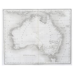
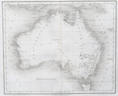
Original Antique Map of Australia by Dower, circa 1835
Located in St Annes, Lancashire
Nice map of Australia Drawn and engraved by J.Dower Published by Orr & Smith. C.1835 Unframed. Free shipping
Paper
$691Sale Price|20% Off
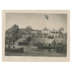
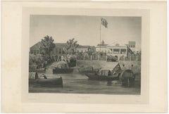
Rare Print of The Factories in Guangzhou, China, 1835
Located in Langweer, NL
Antique print titled 'Factoreries a Canton'. This print (on india paper) depicts factories in Guangzhou, China. Originates from 'Voyage Autour du Monde par les Mers...
Paper
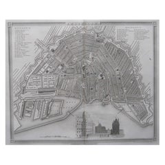
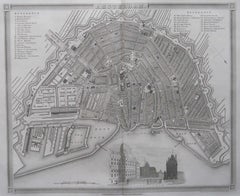
Original Antique Map or City Plan of Amsterdam, Netherlands. Circa 1835
Located in St Annes, Lancashire
Nice map of Amsterdam Drawn and engraved by J.Dower Published by Orr & Smith. C.1835 Unframed. Free shipping
Paper

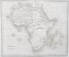
Original Antique Map of Africa by Dower, circa 1835
Located in St Annes, Lancashire
Nice map of Africa Drawn and engraved by J.Dower Published by Orr & Smith. C.1835 Unframed. Free shipping
Paper
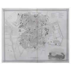

Original Antique Map or City Plan of Madrid, Spain. Circa 1835
Located in St Annes, Lancashire
Nice map of Madrid Drawn and engraved by J.Dower Published by Orr & Smith. C.1835 Unframed. Free shipping
Paper
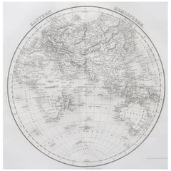

Original Antique Map of The Eastern Hemisphere by Dower, circa 1835
Located in St Annes, Lancashire
Nice map of the Eastern Hemisphere Drawn and engraved by J.Dower Published by Orr & Smith. C.1835 Unframed. Free shipping
Paper
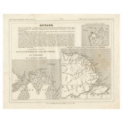

Antique Map of French Guiana and Cayenne – Circa 1835
Located in Langweer, NL
Antique Map of French Guiana and Cayenne – Circa 1835 This rare 19th-century map of French Guiana, published around 1835, provides a detailed overview of the region, including the...
Paper
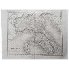
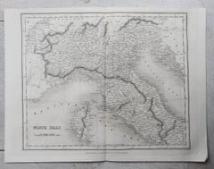
Original Antique Map of North Italy By J.Dower. Unframed, Circa 1835
Located in St Annes, Lancashire
Great map of North Italy Drawn and engraved by J.Dower Published by Orr & Smith. C.1835 Unframed. Free shipping
Paper
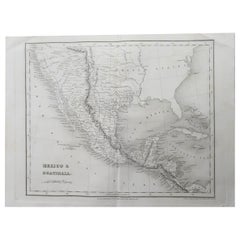
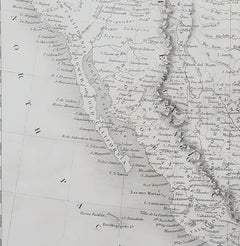
Original Antique Map of Mexico By J.Dower. Unframed, Circa 1835
Located in St Annes, Lancashire
Great map of Mexico Drawn and engraved by J.Dower Published by Orr & Smith. C.1835 Unframed. Creases to top corners Free shipping
Paper
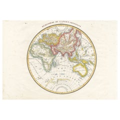
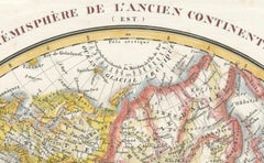
Antique Map of the Eastern Hemisphere by Lapie, France, circa 1830
Located in Langweer, NL
Antique Map of the Eastern Hemisphere by Lapie, France, circa 1830 This finely engraved and hand-colored antique map, titled Hémisphère de l'ancien continent (Eastern Hemisphere), w...
Paper
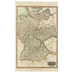
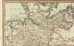
Antique Map of Germany c.1830 by Thomas Kelly – Hand-Coloured Copper Engraving
Located in Langweer, NL
Antique Map of Germany by Thomas Kelly, London, circa 1830, with hand colouring Finely engraved map of Germany titled 'Germany', published by Thomas Kelly at 17 Paternoster Row, London, circa 1830. This historical map outlines the German states, duchies, and surrounding regions including parts of Austria, Switzerland, France, Poland, and Bohemia. Borders are hand-coloured by region, and major rivers, mountain ranges, and cities such as Berlin, Hamburg, Frankfurt, and Munich are clearly marked. Engraved by H. Cooper. This beautifully detailed copperplate engraving features original hand colouring and displays the political divisions of early 19th-century Germany, including Prussia, Bavaria, Saxony, and Württemberg, along with neighboring regions such as Austria, Switzerland, Bohemia, and parts of Poland and France. Major cities like Berlin, Munich, Hamburg, and Frankfurt are clearly marked, as well as rivers, mountain ranges, and regional borders. Engraved by H. Cooper. A fine historical map ideal for collectors, interior decorators, or anyone with an interest in European history or cartography. Technique and material: Copperplate engraving, original hand colouring Condition report : Good condition. Strong impression with hand colour. Small chips and edge wear to upper margin, not affecting image. Light age toning and minor handling marks. Tight on the left and right margins. Framing tip: Use a neutral or antique white mat to highlight the engraved detail. A dark wood or classic gilt frame complements the historical aesthetic. UV-filtering glass recommended to protect the original colouring. Keywords for SEO: antique map, map of Germany, 1830s map, hand-colored map, Thomas Kelly map, old Germany map, Prussia map...
Paper
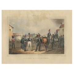
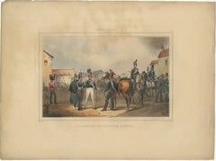
Old Handcolored Print of a Regiment of the Belgium Army, 1833
Located in Langweer, NL
One nicely hand colored print of an original serie of 23 plates, showing soldiers discussing matters in a village. published in 1833. Rare. From a serie of beautiful lithographed plates with Belgian military costumes after Madou and printed by Dero-Becker. Comes from a Belgian military costume album, dedicated to the Belgian King, and financed by subscribers, some 90 Belgian nobility and officers of the Belgian Army...
Paper
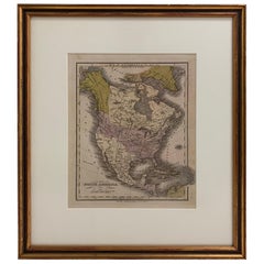
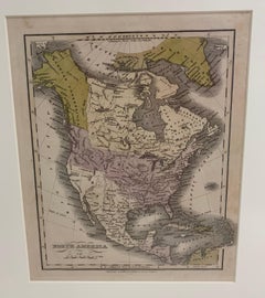
1830 Mexico and United States Framed Map
Located in Stamford, CT
Map of North America published circa 1830. Map shows United States into Canada. Mexico extending into the upper California territory. Texas appears in name but prior to the period of...
Glass, Wood, Paper
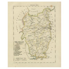
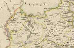
Antique 1830 Map of Leinster, Ireland with Dublin, Kilkenny, Wexford and Kildare
Located in Langweer, NL
Title: Antique 1830 Map of Leinster, Ireland with Dublin, Kilkenny, Wexford, and Kildare Description: This 1830 German-language map, titled Britisches Reich – C. Kon: Ireland, f...
Paper

$340Sale Price|20% Off
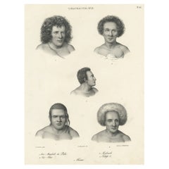
Old Print Depicting Various Inhabitants of Tonga Tabu, ca.1836
Located in Langweer, NL
Antique print titled 'Tonga-Tabu'. Old print depicting various inhabitants of Tonga Tabu. This print originates from 'Entdeckungs, Reise der Franzosischen Corvette Astrolabe Unternomen auf Befehl Konig Karls...
Paper

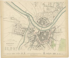
Dresden Germany, Old Town Plan by Baldwin & Cradock 1833
Located in Langweer, NL
Dresden, depicted in this antique map by Baldwin & Cradock from 1833, was a historically significant city in Saxony, Germany. This map, published under the supervision of the Society...
Paper
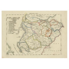
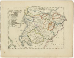
Antique 1830 Map of Southern Scotland with Edinburgh, Berwick, Ayr, and Dumfries
Located in Langweer, NL
Title: Antique 1830 Map of Southern Scotland with Edinburgh, Berwick, Ayr, and Dumfries Description: This 1830 German-language map, titled Britisches Reich – B. Kon Scotland, fo...
Paper
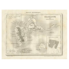
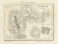
Antique Map of Guadeloupe and Dependencies – France Pittoresque, c. 19th Century
Located in Langweer, NL
Antique Map of Guadeloupe and Dependencies – France Pittoresque, c. 19th Century This finely engraved antique map of Guadeloupe and its dependencies originates from France Pittore...
Paper
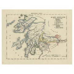
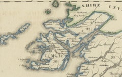
Antique 1830 Map of Scotland with Counties Renfrew, Stirling, Dumbarton and Bute
Located in Langweer, NL
Title: Antique 1830 Map of Scotland with Counties Renfrew, Stirling, Dumbarton, and Bute Description: This 1830 German-language map, titled Britisches Reich – B. Kon Scotland, ...
Paper
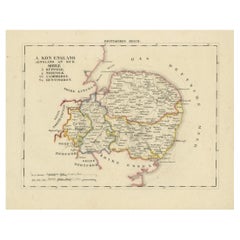
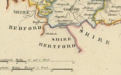
Antique 1830 Map of Eastern England with Suffolk, Norfolk Cambridge, Huntingdon
Located in Langweer, NL
Title: Antique 1830 Map of Eastern England with Suffolk, Norfolk, Cambridge, and Huntingdon Description: This 1830 German-language map, titled Britisches Reich – A. Kon: England,...
Paper
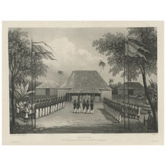

Antique Print of Commander Laplace Welcomed by Cochinchinese Mandarin, c.1830
Located in Langweer, NL
Antique print titled 'Reception du Commandant de la Favorite par un Mandarin Cochinchinois'. Old print of the reception of Laplace, Commander of 'the Favorite'. Laplace was instructed to thoroughly explore the Indian Ocean and the route to the Indies via the Strait of Malacca, between Sumatra and Malaysia, into the China Sea. Originates from the series 'Voyage autour du monde par les mers...
Paper
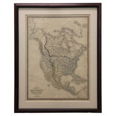
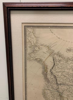
Framed 1838 North America & Recent Discoveries Map
Located in Stamford, CT
1838 map of North America & recent discoveries. Engraved color map by J. Wyld, London, England. This map shows Texas as a Republic without its panhandle. Framed in brown carved wood...
Glass, Wood, Paper
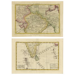
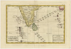
18th Century Cartographic Depiction of Upper India and Ceylon, 1835
Located in Langweer, NL
An exquisite set of two maps, 'Carte de la Partie Superieure De L'Inde en de Cadu Gange,' masterfully crafted by the renowned 18th-century French cartographer, Charles Marie Rigobert...
Paper
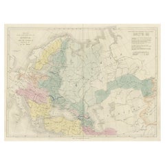
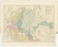
Historical Antique Map of Russia, Examining the History of Russia, 1838
Located in Langweer, NL
Antique map titled 'Sketch of the acquisitions of Russia since the Accession of Peter 1st to the Throne'. Historical map of Russia, examining the history o...
Paper
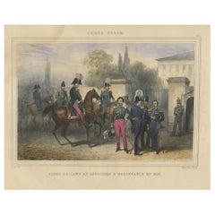
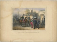
Handcolored Antique Print of Officers and Horses of the Belgium Army, 1833
Located in Langweer, NL
One nicely hand coloured print of an original serie of 23 plates, showing officers and soldiers discussing matters. published in 1833. Rare. From a serie of beautiful lithographed plates with Belgian military costumes after Madou and printed by Dero-Becker. Comes from a Belgian military costume album, dedicated to the Belgian King, and financed by subscribers, some 90 Belgian nobility and officers of the Belgian Army...
Paper
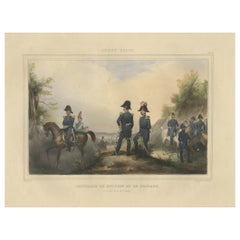
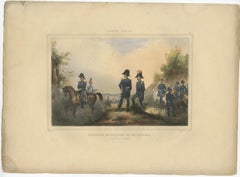
Decorative Antique Print of Fully Uniformed Generals of the Belgium Army, 1833
Located in Langweer, NL
One nicely hand coloured print of an original serie of 23 plates, showing generals discussing matters. published in 1833. Rare. From a serie of beautiful lithographed plates with Belgian military costumes after Madou and printed by Dero-Becker. Comes from a Belgian military costume album, dedicated to the Belgian King, and financed by subscribers, some 90 Belgian nobility and officers of the Belgian Army...
Paper
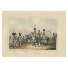
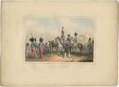
Rare Print of the 'Corps Des Guides' of the Belgium Army Regiment, 1833
Located in Langweer, NL
One nicely hand coloured print of an original serie of 23 plates, showing officers and soldiers resting near a village. published in 1833. Rare. From a serie of beautiful lithographed plates with Belgian military...
Paper
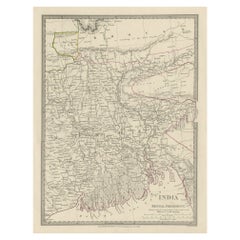
$350Sale Price|20% Off
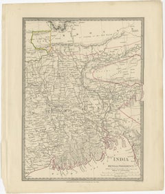
Steel Engraved Map of Part of the Bengal Presidency 'India & Bangladesh', 1831
Located in Langweer, NL
Antique map titled 'India Bengal Presidency'. Old steel engraved map of part of the Bengal Presidency. The Bengal Presidency (1757–1912), later reorganized as the Bengal Province (19...
Paper
$113Sale Price|20% Off
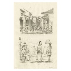
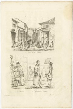
Old Street View in Guangzhou 'Canton' and Inhabitants of Guangzhou, China, 1834
Located in Langweer, NL
Antique print titled 'Une Rue de Canton - Barbier - Habitans de Canton'. View of a street in Guangzhou (Canton) and inhabitants of Guangzhou, also includes a small image of a Chinese barber...
Paper
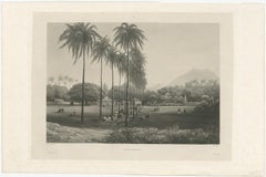
$748Sale Price|20% Off
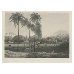
Rare Chine-collé Aquatint of Banyuwangi, East Java, Indonesia, 1835
Located in Langweer, NL
Antique print titled 'Banjowangui'. Chine-collé aquatint of Banyuwangi, Java, Indonesia. Originates from the series 'Voyage autour du monde par les mers de l'In...
Paper
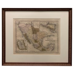
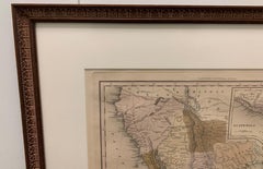
1834 Mexico & Guatemala Framed Map by H.S. Tanner
Located in Stamford, CT
1834 Mexico & Guatemala map of published by H.S. Tanner, Philadelphia, Pennsylvania. Engraved by J. Knight. As found high end custom framing with carved wood frame, custom matting a...
Glass, Wood, Paper

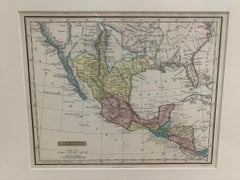
Framed 1838 Mexico & Gulf of Mexico Map
Located in Stamford, CT
Framed 1838 Mexico & Gulf of Mexico map. Printed by Fisher, Son & Co. of London in 1838. As found framed condition. Map has not been examined outside of th...
Glass, Wood, Paper
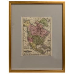
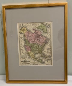
Framed 1839 Hand Colored Map of the United States
Located in Stamford, CT
Framed hand colored map of the United States of America from 1839. Newly framed in a giltwood frame.
Giltwood, Paper, Glass


Original Antique Map of Scotland by Dower, circa 1835
Located in St Annes, Lancashire
Nice map of Scotland Drawn and engraved by J.Dower Published by Orr & Smith. C.1835 Unframed. Free shipping
Paper
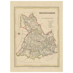
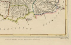
Antique map of Brecknockshire, Wales by Creighton & Walker, c.1831–1840
Located in Langweer, NL
Antique map of Brecknockshire, Wales by Creighton & Walker, c.1831–1840 This antique county map depicts Brecknockshire (Breconshire) in Wales, a region known for its dramatic landsc...
Paper
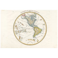
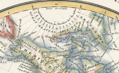
Antique Map of the Western Hemisphere by Lapie, France, circa 1830
Located in Langweer, NL
Antique Map of the Western Hemisphere by Lapie, France, circa 1830 This beautifully engraved and delicately hand-colored map, titled Hémisphère du Nouveau Continent (Ouest), depict...
Paper
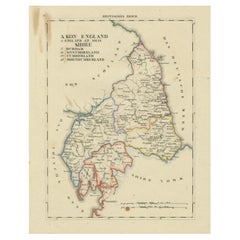
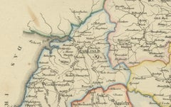
1830 Map of Northern England and Durham, Cumberland, Westmorland, Northumberland
Located in Langweer, NL
Title: Antique 1830 Map of Northern England with Durham, Cumberland, Westmorland, and Northumberland Description: This 1830 German-language map, titled Britisches Reich – A. Kon...
Paper
$530Sale Price|20% Off
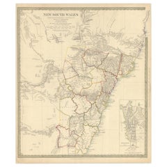
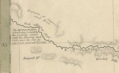
Detailed Map of New South Wales, Australia from 1833 by SDUK
Located in Langweer, NL
Detailed Map of New South Wales, Australia from 1833 by SDUK This historical map of New South Wales, Australia, published in 1833 by the Society for the Diffusion of Useful Knowledg...
Paper
$274Sale Price|20% Off
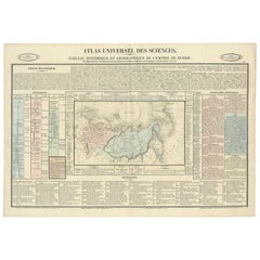
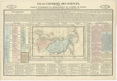
Original French Antique Map of the Russian Empire, 1837
Located in Langweer, NL
Antique map titled 'Tableau Historique et Géographique de L'Empire de Russie'. Original antique map of the Russian Empire will detailed written information about the chronology, ...
Paper
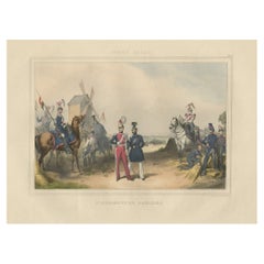
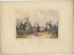
Rare Hand-Colored Print of a Belgium Army Regiment Near a Windmill, 1833
Located in Langweer, NL
One nicely hand coloured print of an original serie of 23 plates, showing officers and soldiers resting. published in 1833. Rare. From a serie of beautiful lithographed plates with Belgian military...
Paper
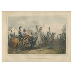
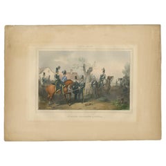
Old Hand-Colored Print of Officers and Horses of the Belgium Army, 1833
Located in Langweer, NL
One nicely hand coloured print of an original serie of 23 plates, showing officers and soldiers discussing matters. published in 1833. Rare. From a serie of beautiful lithographed...
Paper
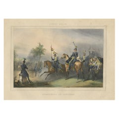
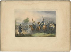
Nicely Hand-Colored Print of a Belgium Army Regiment Riding Horses, 1833
Located in Langweer, NL
One nicely hand coloured print of an original serie of 23 plates, showing officers and soldiers on horses in beautiful army costumes holding spears. published in 1833. Rare. From a serie of beautiful lithographed plates with Belgian military costumes after Madou and printed by Dero-Becker. Comes from a Belgian military costume album, dedicated to the Belgian King, and financed by subscribers, some 90 Belgian nobility and officers of the Belgian Army...
Paper