Want more images or videos?
Request additional images or videos from the seller
1 of 10

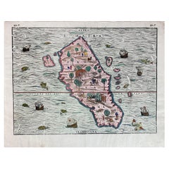
Renaissance Mapping of Sumatra: Featuring Singapore in Münster’s Woodcut, c.1590

$1,374.29
$1,717.8620% Off
£1,016.71
£1,270.8920% Off
€1,160VAT Included
€1,45020% Off
CA$1,902.08
CA$2,377.6020% Off
A$1,908.73
A$2,385.9120% Off
CHF 1,113.20
CHF 1,391.4920% Off
MX$23,207.85
MX$29,009.8120% Off
NOK 12,791.72
NOK 15,989.6520% Off
SEK 13,155.63
SEK 16,444.5420% Off
DKK 8,845.04
DKK 11,056.3020% Off

About the Item

Description: Antique map titled 'Sumatra ein grosse Insel / so von den alten Geographen Taprobana genennt worden'. Beautiful map of Sumatra and the southern part of Malaysia, with Singapore shown as Cinglolo. Large cartouche of a man riding an elephant. Both Sumatra and Sri Lanka have been associated with the mythical island of Taprobana. This map originates from 'Cosmographia' published posthumously by Münster's stepson Hienrich Petri. The German text block appears to be an excerpt from an old document or book. Here is the English translation: "We learn from Varthema that in Taprobana, which is now Sumatra, there are better and also stronger than average elephants. It is also said that the pepper of this island is better than elsewhere, which the inhabitants of Malabar take in large quantities, because it is lighter than other pepper, so that one can trade it for their weight in gold. Pliny writes that in ancient times people believed that this island was another world. On the side of Alexander the Great, one learned that it was an island and not a continent; his deeds have taught us that it is one of the islands that is rich in gold and precious stones in India. He also writes that an embassy was sent to the emperor of the whole country of India by Claudius Caesar, which told of the peculiarities, goods and customs of the country, and among other things, that there are trees that bear wool, as has been seen for several hundred years among people, worse than they." About the maker: Sebastian Munster is generally regarded as one of the important map makers of the 16th Century. Munster was a linguist and mathematician, who initially taught Hebrew in Heidelberg. He issued his first mapping of Germany in 1529, after which he issued a call for geographical information about Germany to scholars throughout the country. The response was better than hoped for, and included substantial foreign material, which supplied him with up to date, if not necessarily accurate maps, for the issuance of his Geographia in 1540. This work was issued in a number of editions and followed by his highly influential Cosmographia, which was first issued in 1544 and thereafter in a number of expanded editions until 1628.
  • Dimensions:
    Height: 13.39 in (34 cm)Width: 16.34 in (41.5 cm)Depth: 0 in (0.02 mm)
  • Materials and Techniques:
  • Place of Origin:
  • Period:
  • Date of Manufacture:
    circa 1590
  • Condition:
    Good. Cleaned and stabilized, still a little stained in places. OVerall a very attractive woodcut of over 400 years old! Study the image carefully.
  • Seller Location:
    Langweer, NL
  • Reference Number:
    Seller: BG-136541stDibs: LU3054338041402

More From This Seller

View All
1606 Hand-Colored Woodcut Map of Sumatra from Ramusio’s Delle Navigationi

1606 Hand-Colored Woodcut Map of Sumatra from Ramusio’s Delle Navigationi

Located in Langweer, NL

This is a fascinating woodcut map titled Taprobana, depicting the island of Sumatra, hand-colored, and published in Venice in 1606. The map originates from Giovanni Battista Ramusio’...

Category

Antique Early 1600s Italian Maps

Materials

Paper
1616 Bertius Map of Sumatra, Singapore and the Straits of Malacca

1616 Bertius Map of Sumatra, Singapore and the Straits of Malacca

Located in Langweer, NL

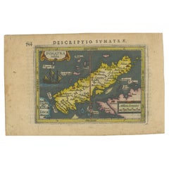
Title: "1616 Bertius Map of Sumatra and the Straits of Malacca" Description: This is an exquisite 1616 original antique map by Petrus Bertius, titled "Sumatra Insula," showcasing Su...

Category

Antique Early 17th Century Maps

Materials

Paper

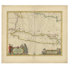
Antique Map of the Island Java, Indonesia, c.1650

Antique Map of the Island Java, Indonesia, c.1650

Located in Langweer, NL

Antique map titled 'Insulae Iavae cum parte insularum Boreno Sumatrae (..)'. Beautiful map of the island of Java and part of Borneo, Bali, Madura and Sumatra. With decorative carto...

Category

Antique 17th Century Maps

Materials

Paper

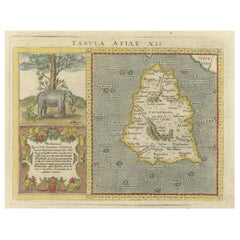
1621 Ptolemy & Magini Map of Taprobana (Sumatra) with Elephant Inset

1621 Ptolemy & Magini Map of Taprobana (Sumatra) with Elephant Inset

Located in Langweer, NL

Title: 1620 Ptolemy and Magini Map of Taprobana (Sumatra) with Elephant Inset, Italian Edition Description: This rare and beautifully hand-colored 1620 map engraving, Tavola Duode...

Category

Antique 1620s Maps

Materials

Paper

Rare and Very Old Antique Map of South East Asia, Published circa 1574

Rare and Very Old Antique Map of South East Asia, Published circa 1574

Located in Langweer, NL

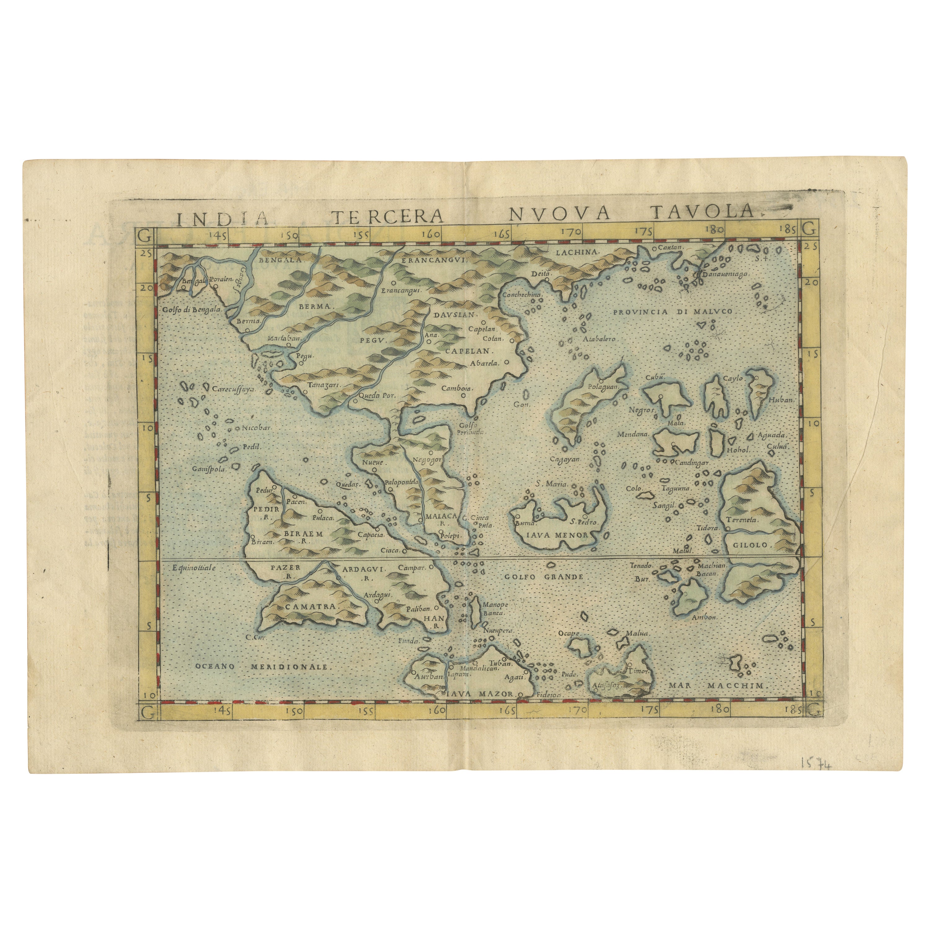
A very fine impression of this map of the Malay Peninsula, Sumatra, Java, with Singapore denoted as 'Cinca Pula'. Highly distorted and inaccurate map by Girolamo Ruscelli after J...

Category

Antique 16th Century Maps

Materials

Paper

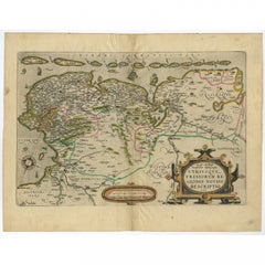
Antique Map of Friesland with Elaborate Cartouche by Mapmaker Ortelius, c.1570

Antique Map of Friesland with Elaborate Cartouche by Mapmaker Ortelius, c.1570

Located in Langweer, NL

Antique map titled 'Oost end West Vrieslandts beschrijvinghe. Utriusque Frisiorum Regionis Noviss: Descriptio. 1568.' Detailed map of Friesland, the Netherlands. Includes a larger co...

Category

Antique 16th Century Maps

Materials

Paper

You May Also Like

Rugen Island, Germany: An Early 17th Century Map by Mercator and Hondius

Rugen Island, Germany: An Early 17th Century Map by Mercator and Hondius

By Gerard Mercator

Located in Alamo, CA

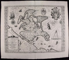
This is an early 17th century map entitled "Nova Famigerabilis Insulae Ac Ducatus Rugiae Desciptio" (Map of Rugen Island, Germany) by Gerard Mercator and Henricus and Joducus Hondiu...

Category

Early 17th Century Old Masters Landscape Prints

Materials

Engraving

Engraving Depicting 16th Century Map of Terra Sancta

Engraving Depicting 16th Century Map of Terra Sancta

Located in Buchanan, MI

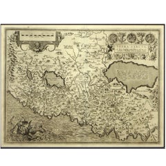
Abraham Ortelius (Flemish, 1527-1598) Terra Sancta. Engraving depicting 16th century map of Terra Sancta. Site 15" x 19.5.

Category

Antique 18th Century and Earlier Maps

Materials

Paper

Antique Voc Print Holland Malaysia Old Map Melaka History, 1663

Antique Voc Print Holland Malaysia Old Map Melaka History, 1663

Located in Amsterdam, Noord Holland

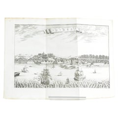
From my own collection I offer this impressive Antique print of the city of Malakka A very interesting piece for collectors . It is an museum piece from the Dutch Institute of Orien...

Category

Antique 17th Century European Paintings

Materials

Paper

Abraham Ortelius Hand-Colored Atlas Map, Gallia Narbonensis, ca. 1600

Abraham Ortelius Hand-Colored Atlas Map, Gallia Narbonensis, ca. 1600

By Abraham Ortelius

Located in Hannover, DE

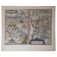
An exceptional original copper-engraved atlas map by Abraham Ortelius (1527–1598), the renowned Flemish cartographer whose Theatrum Orbis Terrarum is universally regarded as the worl...

Category

Antique Early 1600s Dutch Renaissance Maps

Materials

Paint, Paper

1592 Abraham Ortelius Map "Lorraine: Lotharingiae Nova Descripti, Ric.A005

1592 Abraham Ortelius Map "Lorraine: Lotharingiae Nova Descripti, Ric.A005

Located in Norton, MA

1592 Abraham Ortelius map entitled "Lorraine: Lotharingiae Nova Descripti Ric.a005 Description: Ortelius is best known for producing the atlas from which this map comes from, "...

Category

Antique 16th Century Dutch Maps

Materials

Paper

Northern Scotland: A 16th Century Hand-colored Map by Mercator

Northern Scotland: A 16th Century Hand-colored Map by Mercator

By Gerard Mercator

Located in Alamo, CA

A framed hand-colored 16th century map of Northern Scotland by Gerard Mercator entitled "Scotiae pars Septentrionalis", published in Amsterdam in 1636. It is a highly detailed map of the northern part of Scotland, with the northwest Highlands and the cities Inverness and Aberdeen, as well as the Orkney Islands and the Hebrides. There is a decorative title cartouche in the upper left corner. The map is presented in an antiqued brown wood...

Category

Antique 16th Century Dutch Maps

Materials

Paper