Want more images or videos?
Request additional images or videos from the seller
1 of 16

Willem Janszoon Blaeu Rare Original 17th Century Map of Ethiopia in a Pine Frame

$2,902.34
£2,147.18
€2,450VAT Included
CA$4,016.98
A$4,031.59
CHF 2,350.94
MX$49,012.36
NOK 27,014.67
SEK 27,783.21
DKK 18,679.74

About the Item

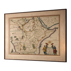
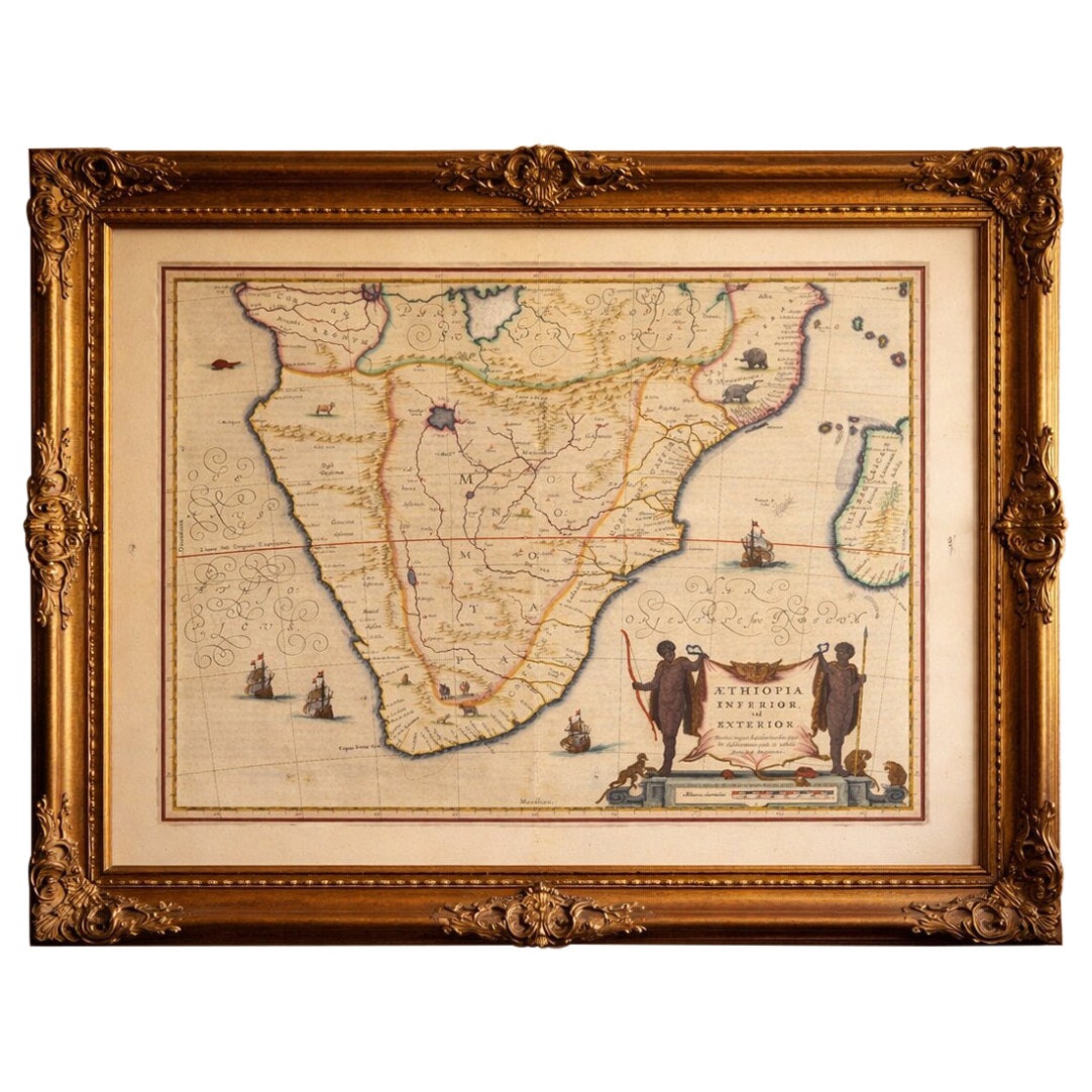
Willem Janszoon Blaeu Rare Original 17th Century Map of Ethiopia in a Pine Frame Rare early 17th century map of Ethiopia by Willem Janszoon Blaeu. The Netherlands. A so called ‘'Aethiopia Superior vel Interior vulgo Abissinorum sive Presbiteri Joannis Imperior’ map - based on Blaeu’s earlier 1608 African map and firstly issued in his 1635 ‘Atlas Novusin’. Beautifully drawn with mountains, rivers, animals and information about cities and regions. Interestingly this map differs slightly to other Blaeu maps of Ethiopia and the ones that can be found from the ‘Atlas Novusin’ - the most visible differences being the decoration around the name of the map depicted on the lower right and left of the map. Also, when viewed closely you can see lines, images and text are differently drawn on this map opposed to the more commonly known 1635 map. Therefore we think this could be another - less common - variety of this map. The outlines of the country are based on Blaeu’s famous 1608 map of the African continent and the interior - the names, regions, cities and other information - is based on written information. In those times information was passed on through older generations of cartographers and the makers had to rely on what information was provided to them through contacts, other cartographers or written texts. In the name of the map you’ll find ‘'Presbiteri Joannis Imperior’' - which refers to the Kingdom of Prester John, a mythical Christian figure believed to have ruled in Africa / Ethiopia. Around 1145, Bishop Hugh of Jabala told Pope Eugenius III about a powerful Christian ruler in the East named Prester John who had supposedly defeated Muslim forces and intended to help the Crusaders. The story quickly spread through Europe. At first, Europeans believed he ruled somewhere in India or Central Asia. Later, as geographic knowledge improved and travelers like Marco Polo failed to find him, people began to identify his supposed realm with Ethiopia, a real Christian kingdom in East Africa. The legend influenced European exploration and - very obvious in this case - mapmaking. Historians today see Prester John as a symbolic figure. The map comes well preserved behind glass and framed in a nice and subtle frame in pine. Dimensions: W. 58 x D. 3 x H. 54 cm (Actual map 36 × 30 cm) About ORNAMENTUM ORNAMENTUM - where we find perfection in imperfection, love a good patina and are always on the lookout for wonderful and unique pieces both vintage and antique. We are based in Belgium near the Dutch border.
  • Creator:
    Willem Blaeu (Artist)
  • Dimensions:
    Height: 21.26 in (54 cm)Width: 22.84 in (58 cm)Depth: 1.19 in (3 cm)
  • Materials and Techniques:
  • Period:
  • Date of Manufacture:
    1608-1650
  • Condition:
    Wear consistent with age and use.
  • Seller Location:
    Meer, BE
  • Reference Number:
    1stDibs: LU9952247082872

More From This Seller

View All
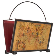
Jacques Liozu Magazine Rack with Whimsical Silk Screened Maps France 1950s

Jacques Liozu Magazine Rack with Whimsical Silk Screened Maps France 1950s

Located in Meer, VAN

Jacques Liozu Magazine Rack with Whimsical Silk Screened Maps, Paris, France, 1950s. This is a very special and rare 1950s magazine rack in silk-screened metal with whimsical maps o...

Category

Mid-20th Century French Mid-Century Modern Magazine Racks and Stands

Materials

Metal
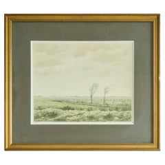
Edgar Fernhout Hand Signed Lithography 1947

Edgar Fernhout Hand Signed Lithography 1947

Located in Meer, VAN

Edgar Fernhout Hand Signed Lithography, The Netherlands, 1947. A beautiful hand signed lithography by renowned Dutch artist Edgar Fernhout - the grandson of Jan Toorop. A work from ...

Category

Early 20th Century Dutch Mid-Century Modern Decorative Art

Materials

Wood, Paper

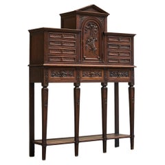
Exceptional Flemish Treasure Cabinet in Carved Oak Late 19th Century

Exceptional Flemish Treasure Cabinet in Carved Oak Late 19th Century

Located in Meer, VAN

Exceptional Flemish Treasure Cabinet in Carved Oak Late 19th Century A unique and very distinct late 19th century Flemish raised treasure cabinet in solid carved oak and brass. Stands directly in the tradition of the earlier Antwerp / Flemish treasure cabinets on stand from the 17th century and the antique Bargueño...

Category

Antique Late 19th Century Belgian Neoclassical Cabinets

Materials

Brass

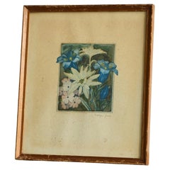
Lovely Framed 'Edelweiss' Lithography Early 20th Century

Lovely Framed 'Edelweiss' Lithography Early 20th Century

Located in Meer, VAN

Framed 'Edelweiss' Lithography Early 20th Century. A lovely lithography depicting an edelweiss flower arrangement. Beautiful colors and details. Very decorative with a nice patina. ...

Category

Early 20th Century Art Deco Decorative Art

Materials

Wood, Paper

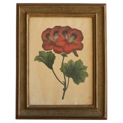
'Pelargonium Abd-el-Kader' Framed Botanical Print 1845 Belgium

'Pelargonium Abd-el-Kader' Framed Botanical Print 1845 Belgium

Located in Meer, VAN

'Pelargonium Abd-el-Kader' framed print from 'Annales de la Societe royale d'agriculture et de botanique de Gand'. 1845, Ghent, Belgium. A lovely original lithography from the book ...

Category

Antique 19th Century Belgian Decorative Art

Materials

Wood, Paper

You May Also Like

Antique Ethiopia Abyssinia Map Blaeu c.1642 – Nile, Figures, Cartouche

Antique Ethiopia Abyssinia Map Blaeu c.1642 – Nile, Figures, Cartouche

Located in Langweer, NL

Antique Ethiopia Abyssinia Map Blaeu c.1642 – Nile, Figures, Cartouche This highly decorative and historically important map of Ethiopia and Abyssinia was engraved by Willem Blaeu, ...

Category

Antique Mid-17th Century Dutch Maps

Materials

Paper

Antique County Map, Hertfordshire, Dutch, Framed Cartography, Blaeu, Carolean

Antique County Map, Hertfordshire, Dutch, Framed Cartography, Blaeu, Carolean

Located in Hele, Devon, GB

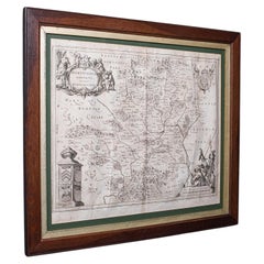
This is an antique county map of Hertfordshire. A Dutch, framed atlas engraving of cartographic interest by Joan Blaeu (1596 - 1673), dating to the mid 17th century and later, circa ...

Category

Antique 1640s Dutch Baroque Maps

Materials

Glass, Oak, Paper

Antique Map of Asia 'in Frame, circa 1739'

Antique Map of Asia 'in Frame, circa 1739'

Located in Langweer, NL

Antique map titled 'Asia Dividida em suas Regioens & Principaes Estados'. Rare and uncommon map of Asia. Signed '1739'. Source unknown, to be determined. ...

Category

Antique Mid-18th Century Maps

Materials

Paper

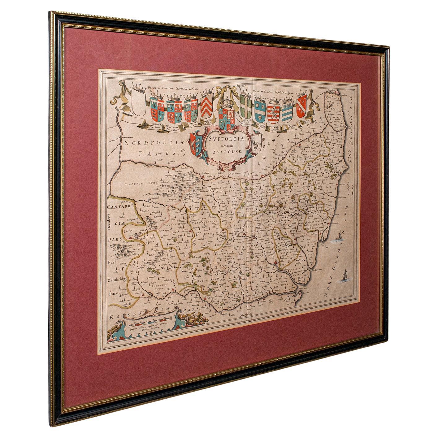
Antique Suffolk County Map, Dutch, Atlas Novus, Joan Blaeu, Cartography, C.1645

Antique Suffolk County Map, Dutch, Atlas Novus, Joan Blaeu, Cartography, C.1645

Located in Hele, Devon, GB

This is an antique county map of Suffolk. A Dutch, framed atlas engraving by Joan Blaeu, dating to the 17th century and later. A treat for the collector or county native, with this ...

Category

Antique 1640s Dutch Charles II Maps

Materials

Glass, Paper