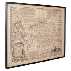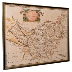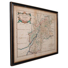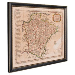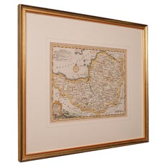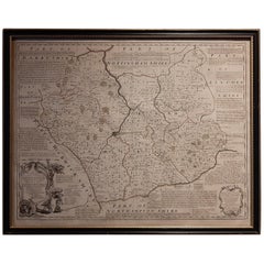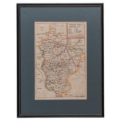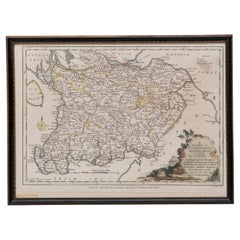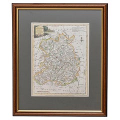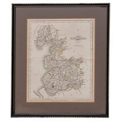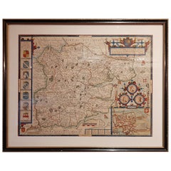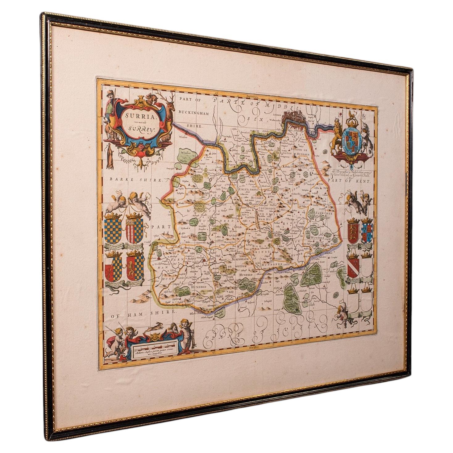
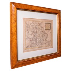
Antique Map of England & Wales, French, Framed Cartography, Georgian, Circa 1780
Located in Hele, Devon, GB
This is an antique map of England. A French, maple framed cartography engraving by Jean-Baptiste Nolin, this posthumous atlas edition dating to the Georgian period, circa 1780. Full...
Category
Antique 1780s French Georgian Maps
Materials
Glass, Paper