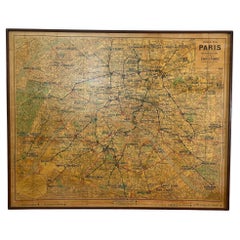
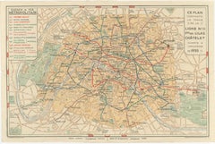
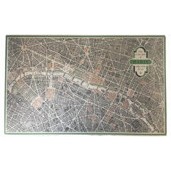
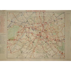
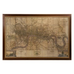
The 1899 "Plan des Tramways de Paris" by Wuhrer is a fascinating snapshot of Paris's public transportation landscape at the dawn of the 20th century. This meticulously crafted map delineates the extensive network of tramway lines that crisscrossed the city, each route marked in detail to aid both residents and visitors in navigating the bustling metropolis.
The Belle Époque, during which this map was produced, was a period of significant growth and modernization in Paris. The city's population was expanding rapidly, and with it came the need for a more efficient means of urban transport. Tramways emerged as a vital solution, connecting neighborhoods and making the city's many attractions more accessible. These electric trams were a symbol of technological progress, replacing the horse-drawn carriages of earlier years and setting the stage for the future of public transit...
Category
1890s Prints and Multiples
MaterialsPaper, Lithograph