Want more images or videos?
Request additional images or videos from the seller
1 of 10

1848 "Paris" Bird's Eye View, Published by the Illustrated London News

$3,750
£2,803.11
€3,274.87
CA$5,275.26
A$5,338.97
CHF 3,061.22
MX$64,755.09
NOK 35,600.75
SEK 36,238.13
DKK 24,480.83

About the Item

This 1848 panoramic bird's eye view of Paris was issued by the Illustrated London News as an insert in its publication. The view was issued by the newspaper as part of a larger series on the great cities of the World. The panorama is designed to provide a unique perspective of the city, from a position just east of Notre Dame. The view features the iconic medieval Catholic cathedral at center, with the River Seine flowing around the Île de la Cité and into the background. Buildings, churches, squares, and bridges populate this attractive and expansive view of the bustling 19th century metropolis. Issued on January 22, 1848, this view depicts the city one month before the overthrow of King Louis Philippe in late February of 1848 and the start of the 1848 very bloody French Revolutions, which led to the creation of the French Second Republic. The print was engraved by Jean-Jacques Champin. It was published by William Little, London for the Illustrated London News. CONDITION: Near fine condition. Original wood engraving. Paper is healthy with full margins and all publisher's marks. Original vertical fold lines present, but not visually distracting. Paper has some toning. Canvas-backed. Image size: 14” H x 34 ¾: W.  Print is presented framed to the highest archival standards, with acid-free mats and a custom-built wooden frame. Framed Dimensions: 27 1/2”H x 50 3/4”W x 1 1/4”D.  Accompanied by our company's letter of authenticity.
  • Dimensions:
    Height: 27.5 in (69.85 cm)Width: 50.75 in (128.91 cm)Depth: 1.25 in (3.18 cm)
  • Style:
    Louis Philippe (Of the Period)
  • Materials and Techniques:
    Paper,Engraved
  • Place of Origin:
  • Period:
  • Date of Manufacture:
    1848
  • Condition:
    Additions or alterations made to the original: Archival Framing by Artem Art Services in Colorado Springs, Colorado in 2025. Wear consistent with age and use.
  • Seller Location:
    Colorado Springs, CO
  • Reference Number:
    Seller: M2841stDibs: LU909750100092

More From This Seller

View All
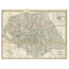
Antique Map of Paris, "Carte Routiere des Environs de Paris" 1841

Antique Map of Paris, "Carte Routiere des Environs de Paris" 1841

Located in Colorado Springs, CO

This beautiful hand-colored road map of Paris was published in 1841. The map shows Paris and the surrounding area in a folding pocket map. Organized and detailed for travelers, this ...

Category

Antique 1840s French Maps

Materials

Paper

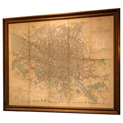
Plan of Paris, France, by A. Vuillemin, Antique Map, 1845

Plan of Paris, France, by A. Vuillemin, Antique Map, 1845

Located in Colorado Springs, CO

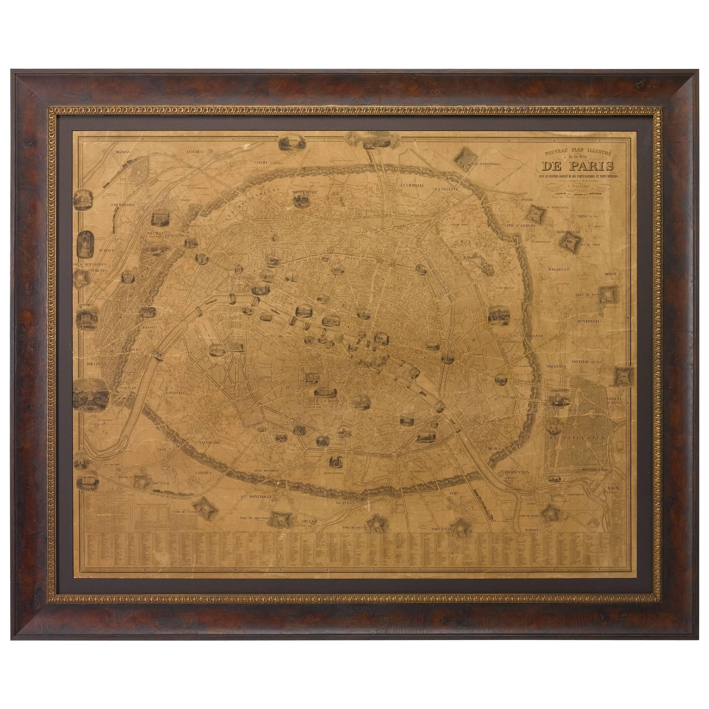
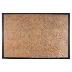
This large and detailed plan of Paris was published by Alexandre Vuillemin in 1845. The map conveys a wonderful amount of information and is decorated throughout with pictorial vigne...

Category

Antique 1840s American Maps

Materials

Paper

1840 "New Map of the City of New York With Part of Brooklyn & Williamsburg"

1840 "New Map of the City of New York With Part of Brooklyn & Williamsburg"

Located in Colorado Springs, CO

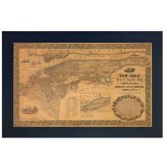
Presented is a hand-colored, engraved folding map titled "New Map of the City of New York With Part of Brooklyn & Williamsburg" by J. Calvin Smith. The map was issued bound in th...

Category

Antique 1840s American Maps

Materials

Paper

1870 "Johnson's Europe" Map Published by A. J. Johnson

1870 "Johnson's Europe" Map Published by A. J. Johnson

Located in Colorado Springs, CO

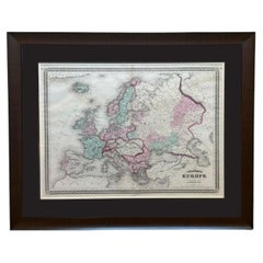
Presented is an original 1870 "Johnson’s Europe" map. First published in 1864, this map was issued as pages 87 and 88 in the 1870 edition of “Johnson's New Illustrated (Steel Plate) ...

Category

Antique 1870s American Victorian Maps

Materials

Paper

1855 New-York City & County Map with Vicinity by Charles Magnus

1855 New-York City & County Map with Vicinity by Charles Magnus

By Charles Magnus

Located in Colorado Springs, CO

This is a beautiful hand-colored map titled “New York City & County Map with Vicinity entire Brooklyn, Williamsburgh, Jersey City &c.” The work was published in 1855 by Charles Magnu...

Category

Antique 1850s American Victorian Maps

Materials

Paper

1912 "Panoramic View of New York City and Vicinity" by Jacob Ruppert

1912 "Panoramic View of New York City and Vicinity" by Jacob Ruppert

Located in Colorado Springs, CO

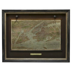
This is an attractive and very scarce map of New York, published by the Yorkville brewer Jacob Ruppert in 1912. The map shows an expansive view of the region reaching from Sandy Hook in the south and Yonkers to the north, to Hicksville in the east and past Newark to the west. This beautifully colored birds eye view shows waterways with all shipping traffic, boroughs, and clearly labeled railroad routes. It is presented on period dowels and backed on its original linen. Jacob Ruppert was born in New York City in 1842 to Bavarian immigrants. His father owned a brewery in Manhattan where young Jacob learned the business of brewing. In 1862, Jacob established the Jacob...

Category

Vintage 1910s American Maps
Materials

Paper

You May Also Like

Framed Bird's Eye Map of Paris After Michel-Étienne Turgot 8 Ft

Framed Bird's Eye Map of Paris After Michel-Étienne Turgot 8 Ft

Located in Rio Vista, CA

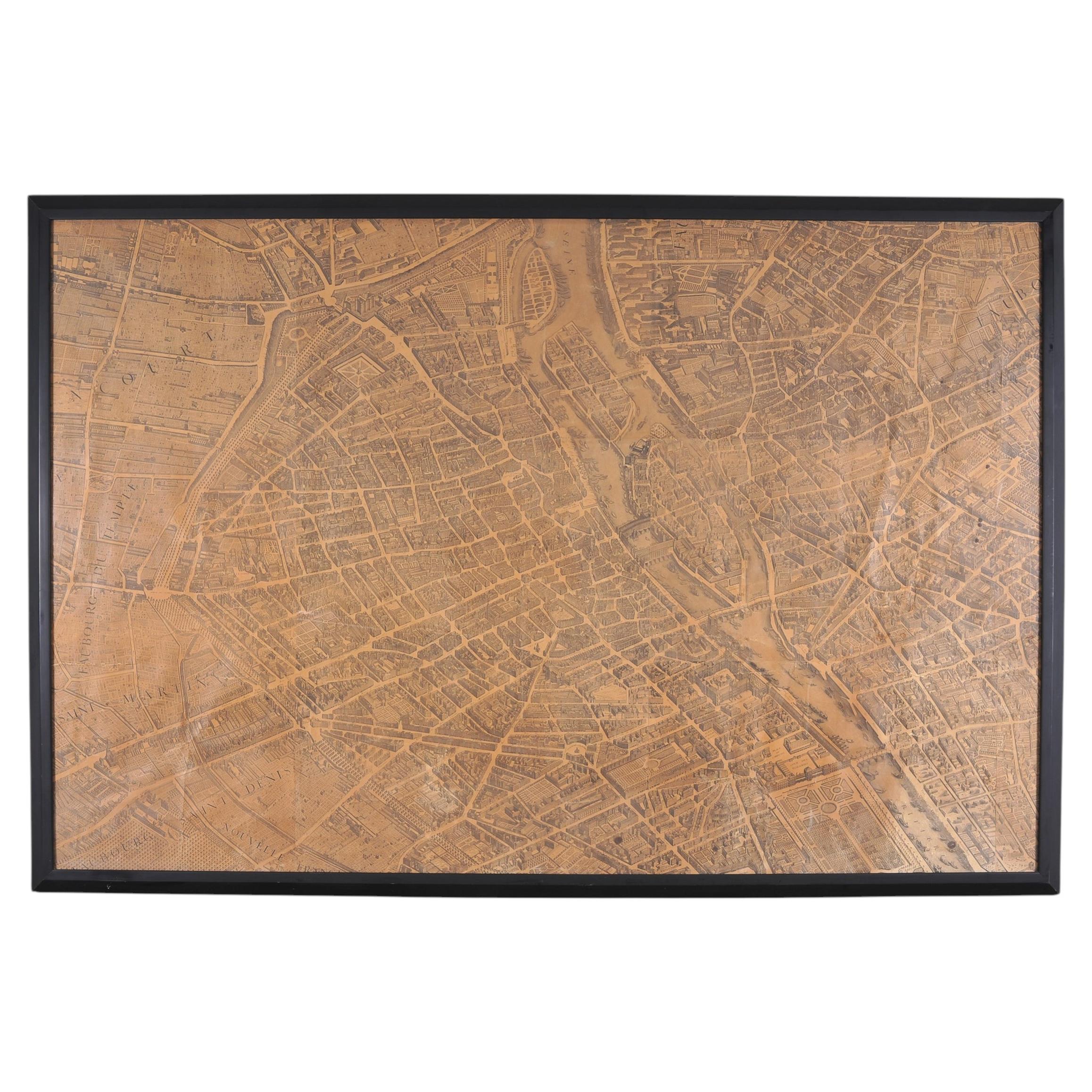
A rare and dramatic 19th century framed engraving of the 1739 "Plan de Paris", after French magistrate Michel-Étienne Turgot (France 1690-1751). Rendered in a intricate birds-eye 1:4...

Category

20th Century French French Provincial Prints

Materials

Glass, Wood, Paper

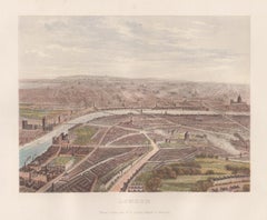
London, England, birds-eye view, chromolithograph, c1870

London, England, birds-eye view, chromolithograph, c1870

Located in Melbourne, Victoria

London, England, birds-eye view, chromolithograph, c1870 published by William Collins. 175mm by 225mm (image) 270mm by 335mm (sheet)

Category

Late 19th Century Naturalistic Landscape Prints

Materials

Lithograph

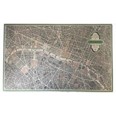
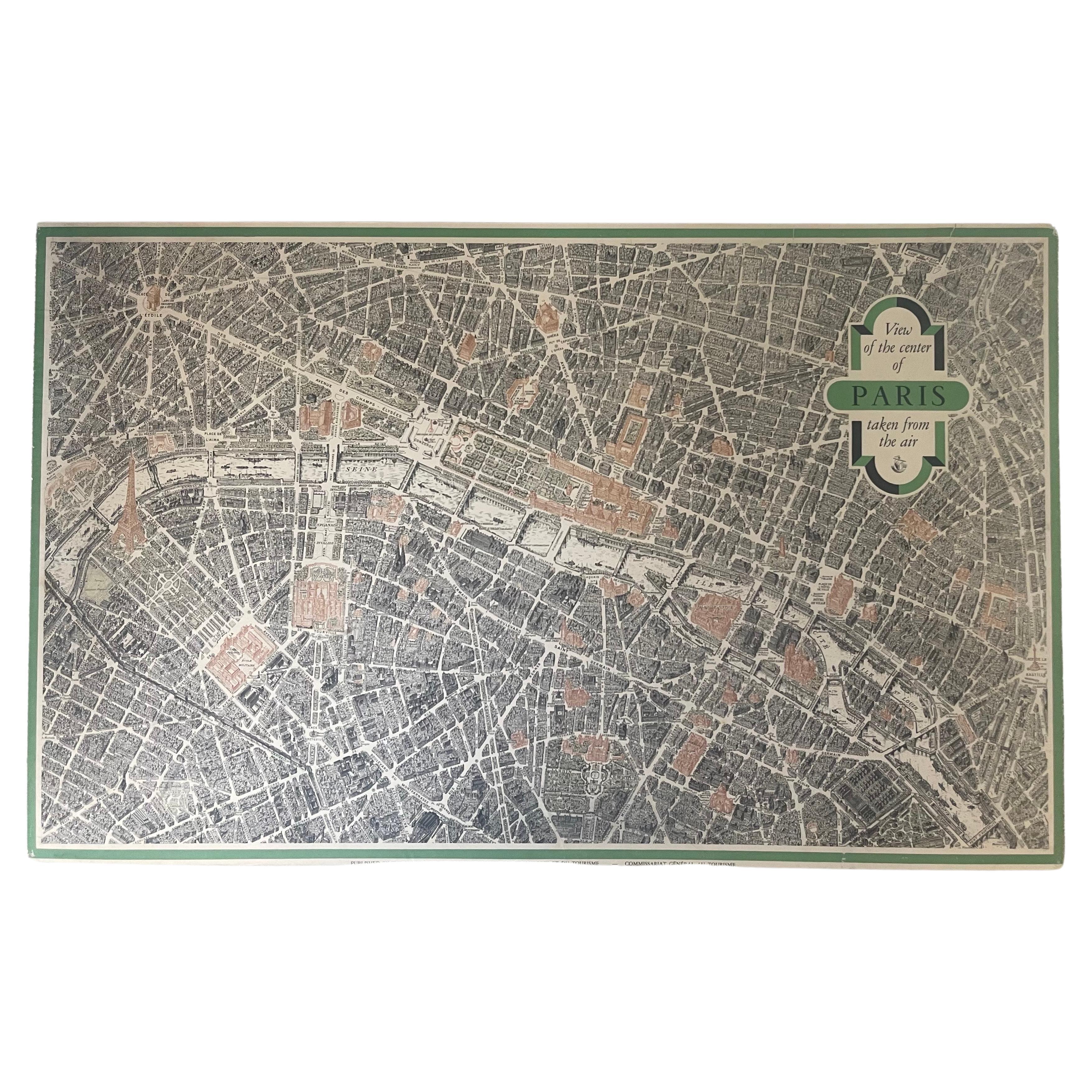
Vintage "View of the Center of Paris Taken from the Air" Lithograph Map

Vintage "View of the Center of Paris Taken from the Air" Lithograph Map

Located in San Diego, CA

A very stylish "View of the Center of Paris Taken from the Air" lithograph map published by the Paris Ministry of Tourism, circa early 1950s. The piece measures 27" x 43" and shows...

Category

20th Century French Mid-Century Modern Prints

Materials

Paper

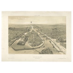
Paris en Ballon – Aerial View of Paris from a Balloon, Lithograph by Albert 1850

Paris en Ballon – Aerial View of Paris from a Balloon, Lithograph by Albert 1850

Located in Langweer, NL

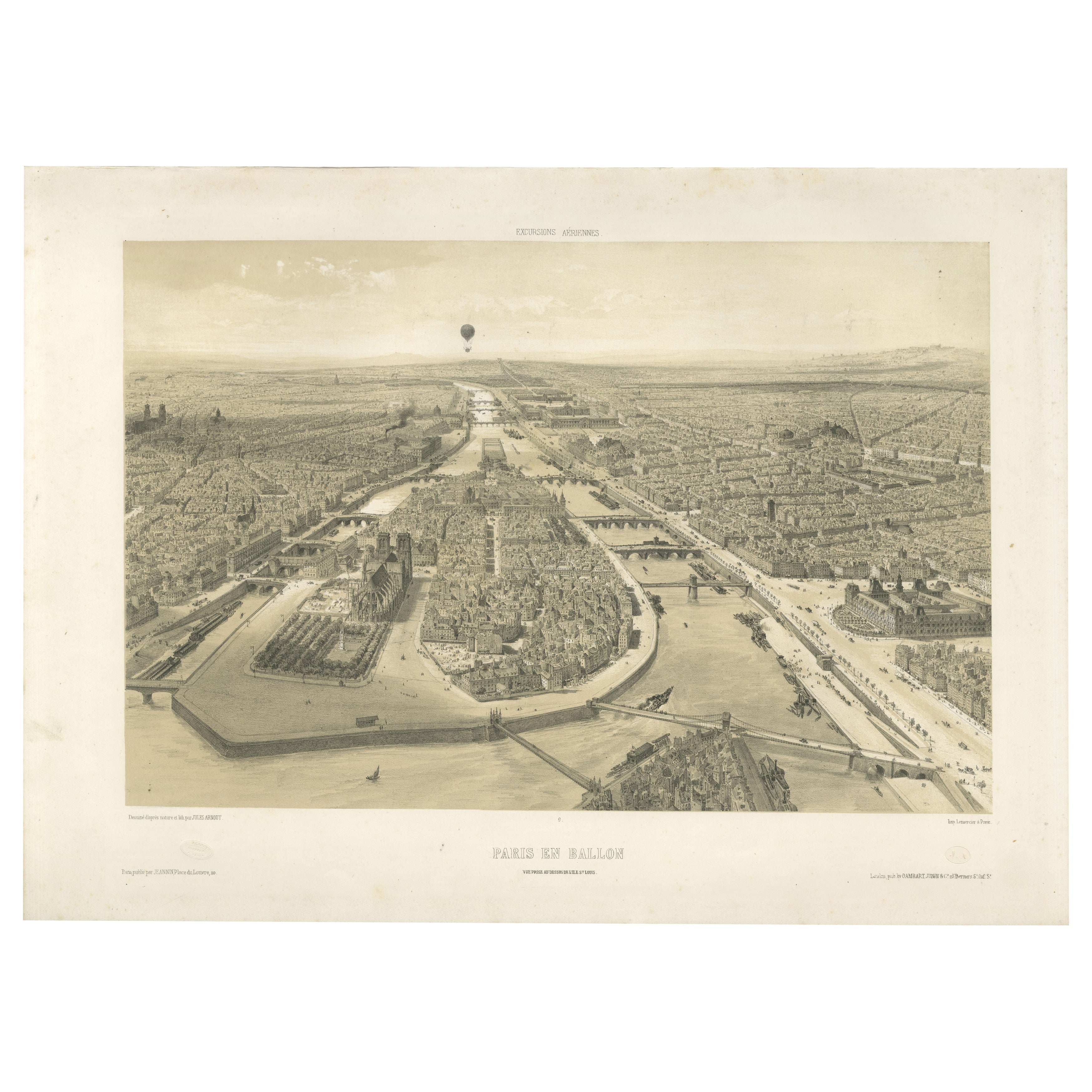
Paris en Ballon – Aerial View of Paris from a Balloon, Lithograph by Albert, circa 1850 This striking 19th-century lithograph titled Paris en Ballon (Paris from a Balloon) offers a ...

Category

Antique Mid-19th Century French Prints

Materials

Paper

Paris and Surroundings – Antique Map by Gall and Inglis, Published 1843

Paris and Surroundings – Antique Map by Gall and Inglis, Published 1843

Located in Langweer, NL

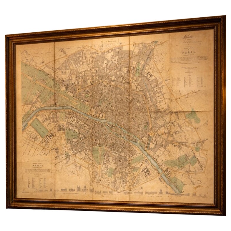
Antique Map of Paris and Environs by Gall and Inglis, 1843 This finely detailed map titled "Gall & Inglis’ Plan of Paris and Environs" was published in 1843 and provides a fascinati...

Category

Antique Mid-19th Century English Maps

Materials

Paper