Video Loading
Want more images or videos?
Request additional images or videos from the seller
1 of 11

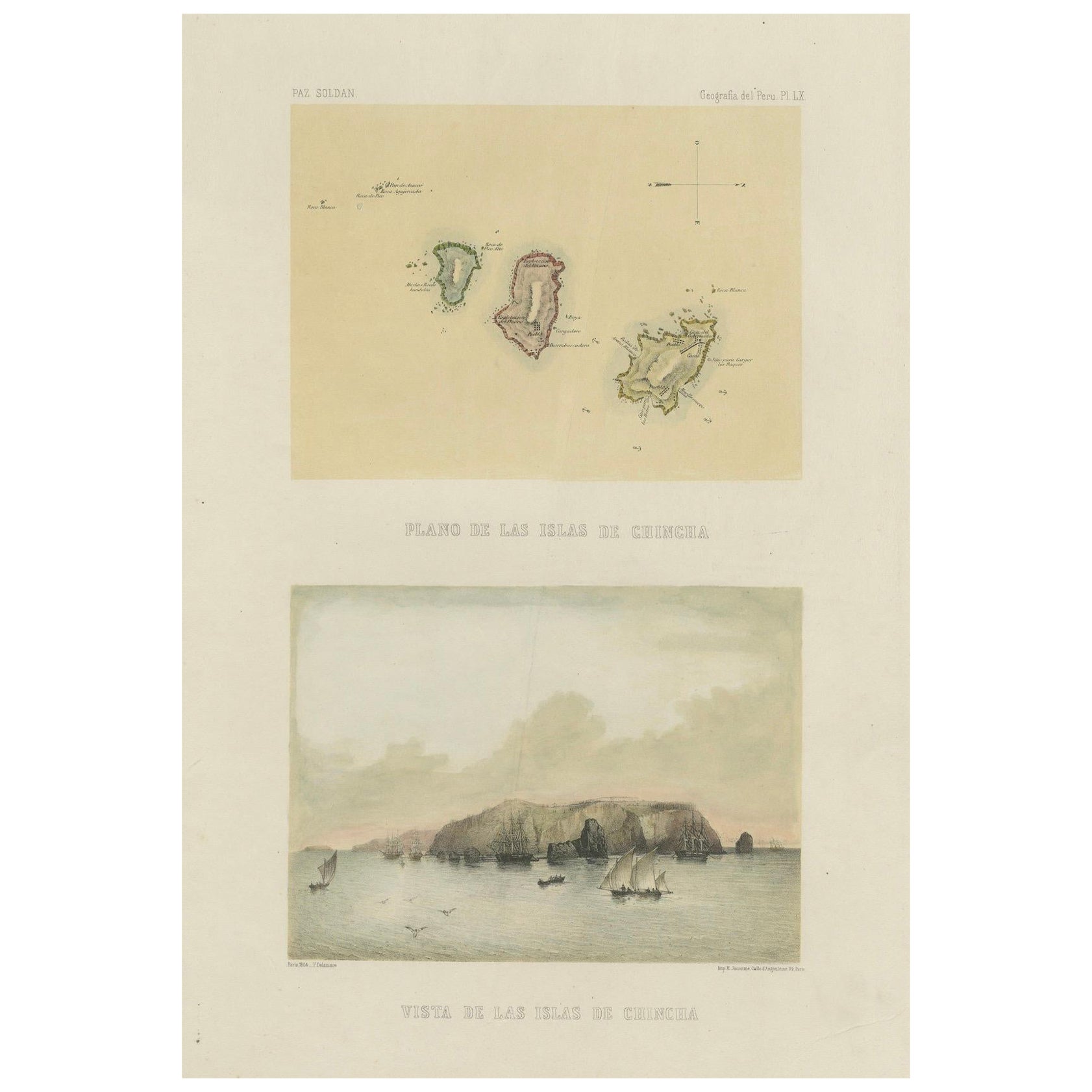
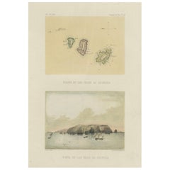
Chincha Islands Antique Lithograph 1865 – Map & Coastal Scene, Peru

$635.37
£470.46
€540VAT Included
CA$884.98
A$900.35
CHF 515.99
MX$10,840.80
NOK 6,030.99
SEK 6,057.46
DKK 4,117.72

About the Item

Antique lithograph map and view of the Chincha Islands, Peru – 1865 This lithograph sheet presents both a map (Plano de las Islas de Chincha) and a coastal view (Vista de las Islas de Chincha) of the famed Chincha Islands, located off the southern coast of Peru. Issued in 1865 as part of Mariano Felipe Paz Soldán’s monumental Atlas Geográfico del Perú, this work was published in Paris by Lemercier and stands as the first comprehensive national atlas of Peru. The upper image provides a detailed map of the Chincha archipelago, showing the three principal islands and their rocky formations, along with navigational notations. The lower image offers a dramatic seascape, with the islands rising steeply from the Pacific Ocean. Sailboats and larger vessels are depicted in the foreground, testifying to the busy maritime activity that surrounded these islands during the mid-19th century. The Chincha Islands held extraordinary importance in this period due to their immense guano deposits, which were highly prized as fertilizer. The guano boom of the mid-19th century made Peru one of the world’s largest exporters of natural fertilizer, and revenues from this trade significantly influenced the nation’s economy and politics. By including both a plan and a view, Paz Soldán highlighted the dual significance of the Chinchas—as geographical features and as vital economic assets. This plate offers not only a fine example of 19th-century lithographic artistry but also an important historical record of a resource that shaped Peru’s role in global trade. Collectors of Latin American history and maritime prints will find this a key addition to any collection. Condition report: Very good condition. Minor age toning in margins with a few small scattered foxing spots. Image areas clean with strong impressions. Plate mark visible, wide margins preserved. Framing tips: This sheet is ideally displayed in a vertical frame to showcase both the map and the coastal view. A cream or ivory mat will balance the sepia tones, while a dark wooden or black frame will provide contrast. A double mat with a fine inner border in deep blue could enhance the maritime theme. Technique: Lithograph with tint stone Maker: Mariano Felipe Paz Soldán, Paris, 1865
  • Dimensions:
    Height: 20.24 in (51.4 cm)Width: 12.76 in (32.4 cm)Depth: 0.01 in (0.2 mm)
  • Materials and Techniques:
  • Place of Origin:
  • Period:
  • Date of Manufacture:
    circa 1865
  • Condition:
    Very good condition. Minor age toning in margins with a few small scattered foxing spots. Image areas clean with strong impressions. Plate mark visible, wide margins preserved.
  • Seller Location:
    Langweer, NL
  • Reference Number:
    Seller: BG-14032-181stDibs: LU3054346484692

More From This Seller

View All
Hand-colored lithograph map and view of the Chincha Islands, Peru – 1865

Hand-colored lithograph map and view of the Chincha Islands, Peru – 1865

Located in Langweer, NL

Hand-colored lithograph map and view of the Chincha Islands, Peru – 1865 This original hand-colored lithograph sheet presents both a map (Plano de las Islas de Chincha) and a panora...

Category

Antique 1860s French Prints

Materials

Paper
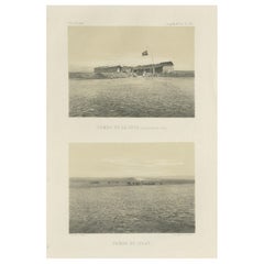
Antique lithograph views of Tambo de la Joya and Pampa de Islay, Peru – 1865

Antique lithograph views of Tambo de la Joya and Pampa de Islay, Peru – 1865

Located in Langweer, NL

Antique lithograph views of Tambo de la Joya and Pampa de Islay, Peru – 1865 This lithograph sheet offers two views of the southern Peruvian landscape, issued in 1865 as part of Mar...

Category

Antique 1860s French Prints

Materials

Paper
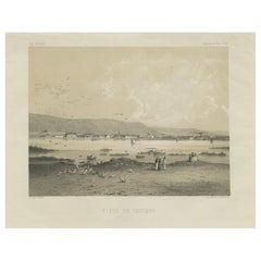
Iquique Peru (Now Chile) – Antique Coastal City Lithograph c.1865

Iquique Peru (Now Chile) – Antique Coastal City Lithograph c.1865

Located in Langweer, NL

Antique lithograph view of Iquique, Peru (now Chile) – 1865 This lithograph, titled Vista de Iquique, presents a rare mid-19th century view of the coastal city of Iquique, at the ti...

Category

Antique 1860s French Prints

Materials

Paper
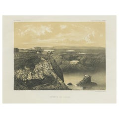
Puerto de Islay Peru – Antique Coastal Port Lithograph c.1865

Puerto de Islay Peru – Antique Coastal Port Lithograph c.1865

Located in Langweer, NL

Antique lithograph view of Puerto de Islay, Peru – 1865 This original lithograph presents a striking 19th-century view of Puerto de Islay, the coastal settlement in southern Peru th...

Category

Antique 1860s French Prints

Materials

Paper
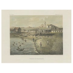
Antique Lithograph View of Puerto de Huanchaco, Peru c.1865

Antique Lithograph View of Puerto de Huanchaco, Peru c.1865

Located in Langweer, NL

Antique lithograph view of Puerto de Huanchaco, Peru – 1865 Description: This finely hand-colored lithograph depicts Puerto de Huanchaco, the historic fishing and trading port locat...

Category

Antique 1860s French Prints

Materials

Paper
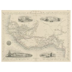
Antique Map of Western Africa with Vignettes of Cape Coast Castle etc, ca.1851

Antique Map of Western Africa with Vignettes of Cape Coast Castle etc, ca.1851

Located in Langweer, NL

Antique map titled ‘Western Africa’. Includes decorative vignettes titled Christiansborg, Cape Coast Castle, Sierra Leone and Bakel. Originates from 'The Illustrated Atlas, And Modern History Of The World Geographical, Political, Commercial & Statistical, Edited By R. Montgomery Martin'. Published; John Tallis London, New York, Edinburgh & Dublin. 1851. Drawn and Engraved by J. Rapkin. Artists and Engravers: John Tallis (1817-1876) was a British map...

Category

Antique 1850s Maps

Materials

Paper

You May Also Like

Ancient View of  Cyprus - Lithograph - Mid-19th Century

Ancient View of Cyprus - Lithograph - Mid-19th Century

Located in Roma, IT

Ancient View of Cyprus is an original modern artwork realized in the mid-19th Century. Original B/W Lithograph on Ivory Paper. Inscripted on the lower margin in Capital Letters: ...

Category

Early 19th Century Figurative Prints

Materials

Paper, Lithograph

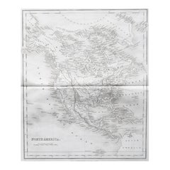
Original Antique Map of North America by Dower, circa 1835

Original Antique Map of North America by Dower, circa 1835

Located in St Annes, Lancashire

Nice map of North America Drawn and engraved by J.Dower Published by Orr & Smith. C.1835 Unframed. Free shipping

Category

Antique 1830s English Maps

Materials

Paper

Ancient View of Cyprus - Original Lithograph - Mid-19th Century

Ancient View of Cyprus - Original Lithograph - Mid-19th Century

Located in Roma, IT

Cyprus is an original modern artwork realized in the mid-19th Century. Original B/W Lithograph on Ivory Paper. Inscripted on the lower margin in Capital Letters: Cyprus Hauptstad...

Category

Mid-19th Century Modern Landscape Prints

Materials

Lithograph

Original Antique Map of Mexico By J.Dower. Unframed, Circa 1835

Original Antique Map of Mexico By J.Dower. Unframed, Circa 1835

Located in St Annes, Lancashire

Great map of Mexico Drawn and engraved by J.Dower Published by Orr & Smith. C.1835 Unframed. Creases to top corners Free shipping

Category

Antique 1830s English Maps

Materials

Paper

Views of Senegal - Original Lithograph - 19th century

Views of Senegal - Original Lithograph - 19th century

Located in Roma, IT

Views of Senegal is an original lithograph artwork realized by an Anonymous engraver of the 19th century. Printed in the series of "France Pittoresque". Titled "France Pittoresqu...

Category

19th Century Modern Figurative Prints

Materials

Lithograph