Want more images or videos?
Request additional images or videos from the seller
1 of 6

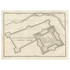
The Ground Plot of the Castle of Carrigafoyle, County Kerry, Ireland, 1890

$270.93
£201.28
€230VAT Included
CA$379.68
A$384.43
CHF 218.70
MX$4,672.07
NOK 2,585.18
SEK 2,571.60
DKK 1,753.69

About the Item

The Ground Plot of the Castle of Carrigafoyle, County Kerry, Ireland This historical engraving depicts the ground plan of the Castle of Carrigafoyle, a 15th-century fortress located in County Kerry, Ireland. The castle's strategic layout is meticulously illustrated, showing its fortified walls, defensive structures, and surrounding waterways. Labeled as "The Ground Plot of the Castle of Carrigafoyle," the engraving provides a top-down view of the castle’s design and its integration with the surrounding landscape. Notable features include the Shannon Estuary, nearby wooded areas, and the castle’s moat-like water defenses, emphasizing its stronghold nature. The attention to detail suggests that this engraving was intended for military or historical documentation, possibly as part of a publication describing the siege of the castle during the Desmond Rebellions in the late 16th century. Artistic and Historical Context: Carrigafoyle Castle was a prominent O'Connor family stronghold, famously besieged and captured by English forces in 1580 during the First Desmond Rebellion. This ground plan likely accompanied narratives or records of the military campaign, showcasing the architectural sophistication and defensive planning of Irish fortresses of the period. Such engravings were often included in military or historical compendiums from the late 16th or early 17th centuries. Condition Report: Good condition with crisp engraving lines and clear text. Minor toning and slight edge wear, consistent with its age. Well-preserved and suitable for framing or archival collection.
  • Dimensions:
    Height: 8.67 in (22 cm)Width: 12.01 in (30.5 cm)Depth: 0.01 in (0.2 mm)
  • Materials and Techniques:
    Paper,Engraved
  • Period:
  • Date of Manufacture:
    circa 1896
  • Condition:
    Good condition with crisp engraving lines and clear text. Minor toning and slight edge wear, consistent with its age. Well-preserved and suitable for framing or archival collection.
  • Seller Location:
    Langweer, NL
  • Reference Number:
    Seller: BG-13198-471stDibs: LU3054343076562

More From This Seller

View All
Antique Plan of the Siege of the Castle of Cardona in 1714

Antique Plan of the Siege of the Castle of Cardona in 1714

Located in Langweer, NL

Antique print titled 'Plan of Cardona a strong city and castle of Catalonia, upon the river Cardoner as besieged by the French and defended by the Allies'. A plan of the siege of the...

Category

Antique Mid-18th Century Prints

Materials

Paper
Old Print of the Rembang Fortress of Captain E. Bintang on Java, Indonesia, 1726

Old Print of the Rembang Fortress of Captain E. Bintang on Java, Indonesia, 1726

Located in Langweer, NL

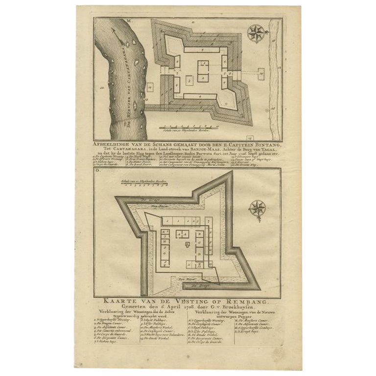
Antique print titled 'Kaarte van de Schans gemaakt door den E. Capitein Bintang. Kaarte van de Vesting op Rembang.' A plan of the fort constructed by the Captain E. Bintang, in the B...

Category

Antique 18th Century Prints

Materials

Paper
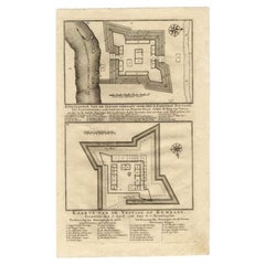
Plan of the Dutch Fort in Formosa – Antique French Jesuit Engraving, ca.1790

Plan of the Dutch Fort in Formosa – Antique French Jesuit Engraving, ca.1790

Located in Langweer, NL

Plan of the Dutch Fort in Formosa – Antique French Jesuit Engraving by Portier, c.1790 This antique French engraving by Portier, produced around 1790, shows a detailed plan of the D...

Category

Antique Late 18th Century French Maps

Materials

Paper

Antique Print of Fort Brittenburg by Guiccardini, 1612

Antique Print of Fort Brittenburg by Guiccardini, 1612

Located in Langweer, NL

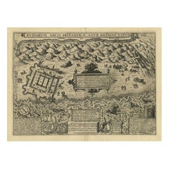
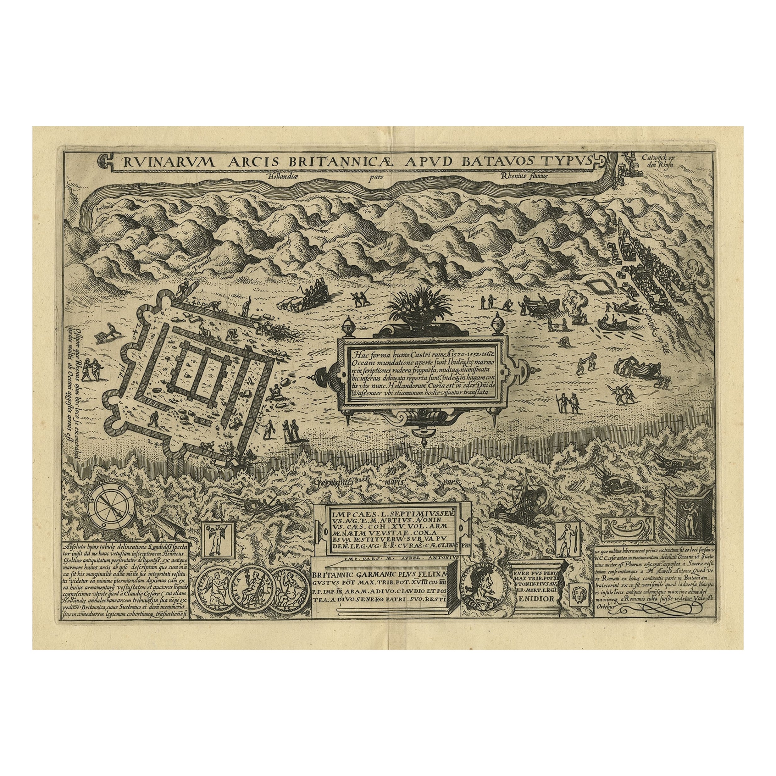
Antique print titled 'Ruinarum Arcis Britannica Apud Batavos Typus.' Old print of the ruins of the Roman fortress Brittenburg near Katwijk, The Netherlands. Source unknown, to be det...

Category

Antique 17th Century Prints

Materials

Paper
1749 Jacques Nicolas Bellin Map of the Great Wall of China Near Kiang-nan fu

1749 Jacques Nicolas Bellin Map of the Great Wall of China Near Kiang-nan fu

Located in Langweer, NL

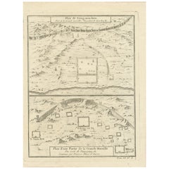
This original antique image is an historical map by Jacques Nicolas Bellin, depicting the Great Wall of China as it was understood in the mid-18th century. The map includes French ...

Category

Antique 1750s Prints

Materials

Paper

Antique Map of the Fortress of Captain E. Bintang by Valentijn, 1726

Antique Map of the Fortress of Captain E. Bintang by Valentijn, 1726

Located in Langweer, NL

Antique print titled 'Kaarte van de Schans gemaakt door den E. Capitein Bintang. Kaarte van de Vesting op Rembang.' A plan of the fort constructed by the Captain E. Bintang, in the B...

Category

Antique 18th Century Maps

Materials

Paper

You May Also Like

1627 Map Entitled "Loudunois, " Signed on the Back, Ric.a013

1627 Map Entitled "Loudunois, " Signed on the Back, Ric.a013

Located in Norton, MA

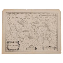
1627 map entitled "Loudunois," Signed on the Back Ric.a013 cartography close up double-page hand-colored elevated view no person print hand-tinted hilly close-up early 17th-...

Category

Antique 17th Century Dutch Maps

Materials

Paper

Battle of Grocka Campaign Map, 1753 - James Oglethorpe, John Lindsay, Henry Köpp

Battle of Grocka Campaign Map, 1753 - James Oglethorpe, John Lindsay, Henry Köpp

Located in Savannah, GA

A campaign map of the Battle of Grocka, 1753. Drawn and engraved by Henry Köpp for the journals of John Lindsay, 20th Earl of Crawford and dedicated to James Oglethorpe. sight:...

Category

Antique 1750s British Prints

Materials

Glass, Wood, Paper

1646 Jansson Map Entitled "Procinvia Connactiae, " Ric.a006

1646 Jansson Map Entitled "Procinvia Connactiae, " Ric.a006

Located in Norton, MA

1646 Jansson map entitled "Procinvia connactiae," Ric.a006 Description: The PROVINCE of CONNAVGT 490 x 380From vol 4 of Jansson's Atlas Novus 1646, published in Amsterdam with...

Category

Antique 17th Century Unknown Maps

Materials

Paper

Map of Burdegalen - Original Etching by George Braun - 1575 ca.

Map of Burdegalen - Original Etching by George Braun - 1575 ca.

By George Braun

Located in Roma, IT

This Burdegalen is an original etching realized in about 1575 by George Braun (1541 – 1622) The state of preservation of the artwork is good and aged on the edges of the sheet with...

Category

16th Century More Prints

Materials

Etching