Title: Pyramids of Biahmu, Obelisk of Biggig, and Lake Moeris – Egypt Engraving, 1776
Description:
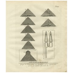
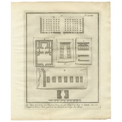
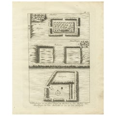
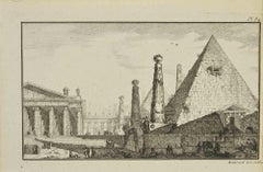
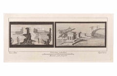
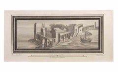
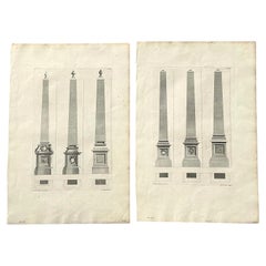
This 1776 engraving depicts a collection of plans and views relating to the pyramids of Biahmu, the ancient obelisk of Biggig, and the surrounding area of Lake Moeris (Birket Qarun) in Egypt. The plate, numbered XXII, comes from the Dutch edition of Richard Pococke’s travel narrative, which documented his observations of Egypt’s monuments during the 18th century.
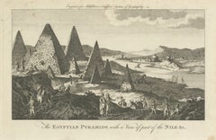
At the top of the engraving is a map-like representation of Lake Moeris, labeled "Het Meer Moeriss," showing the body of water with an outlet channel and nearby structures. Below the map are elevation views of the pyramids of Biahmu from different directions—east, west, north, and south—showing their proportions, entrances, and partially ruined states. These pyramids, located near Fayum, are believed to date back to the Middle Kingdom period.
To the lower section of the plate, there are architectural diagrams of temple or pyramid layouts labeled A and B. These ground plans depict walled enclosures and internal chamber arrangements, giving a sense of the interior design of ancient Egyptian structures. At the bottom left, a tall narrow diagram appears to represent the obelisk of Biggig, with inscriptions or markings suggested along its surface. The lower right corner features sectional views of pyramids, illustrating construction techniques and layered masonry.
The Dutch caption reads, "Platte-Grond en Gezicht der Pyramiden van Biahmu. Gezicht der Obelisk van Biggig, en der Zymuren van den Tempel des Labyrinths. Afbeelding van het Meer Moeris," which translates as "Ground plan and view of the pyramids of Biahmu, view of the obelisk of Biggig, and the surrounding walls of the temple of the Labyrinth. Depiction of Lake Moeris."
This plate is part of 'Beschryving van het Oosten en van eenige andere landen' (Description of the East and Some Other Lands), translated and annotated by Ernst Willem Cramerus and published in Utrecht, Rotterdam, and Amsterdam in 1776. Pococke’s work was one of the earliest systematic European studies of Egypt’s monuments.
Condition report:
Very good condition. Mild age-related toning, mainly at the edges, with a few minor spots in the upper margin. Strong plate impression with wide borders. Central binding crease is faint and unobtrusive. Verso blank.
Framing tips:
A black, dark brown, or antiqued gold frame paired with a light cream or beige mat will enhance the historic character of this print. Its mix of maps, elevations, and plans makes it an excellent centerpiece for a wall dedicated to Egyptology or travel history.
Technique: Engraving
Maker: Unknown engraver after Richard Pococke, Netherlands, 1776