Want more images or videos?
Request additional images or videos from the seller
1 of 8

Dylbert
1943 original illustrated map of Cochinchine by Dylbert

1943

$1,000.30
£743.40
€1,020VAT Included
CA$1,407.55
A$1,419.08
CHF 808.04
MX$17,249.57
NOK 9,538.57
SEK 9,511.19
DKK 6,480.72

About the Item

The 1943 original illustrated map of Cochinchine by Dylbert is a striking example of cartographic artistry from a period steeped in global conflict and colonial influence. Created during World War II, this map reflects both the cultural richness and the historical context of Cochinchine (modern-day southern Vietnam), then part of French Indochina. Cochinchine, with its capital at Saigon (now Ho Chi Minh City), was a key region under French colonial rule, characterized by its fertile Mekong Delta, rice paddies, and cultural diversity. Dylbert’s illustrated map is an artistic celebration of the region's geography, history, and culture. It was produced at a time when maps often served dual purposes: as practical tools and as vibrant showcases of the lands they represented. Dylbert’s map exemplifies mid-20th-century illustrated cartography, a style where maps were not only functional but also aesthetic. Such maps often featured intricate details, lively vignettes, and ornamental designs. This particular map likely depicted Cochinchine’s natural beauty, including its winding rivers, tropical flora, and agricultural scenes. These elements would have highlighted the region’s economic and cultural significance, especially as a major producer of rice and other goods vital to French interests. In 1943, France’s colonial empire was under strain due to the ongoing war and Japanese occupation of Indochina. This map may have served as a way to reinforce a sense of connection to the region amidst uncertainty. Illustrated maps from this era often carried subtle political or cultural messages, emphasizing the wealth and strategic importance of colonial territories. Dylbert’s work stands out for its artistic and historical value. The detailed illustrations likely included symbolic motifs—perhaps figures in traditional Vietnamese attire, representations of pagodas, and depictions of local industries like farming and fishing. These visual elements would have provided viewers with a romanticized yet informative vision of Cochinchine, blending French colonial perspectives with an appreciation for local culture. As a collectible, this map is a window into a complex and transformative period in Southeast Asian history. For enthusiasts of vintage cartography or those interested in French Indochina, Dylbert’s map is more than a geographic representation—it is a cultural artifact that captures the spirit of a bygone era. Its intricate design and historical context make it a treasured piece for collectors and historians alike. Original poster Indochina - Tourism - Map - Vietnam
  • Creator:
    Dylbert
  • Creation Year:
    1943
  • Dimensions:
    Height: 11.03 in (28 cm)Width: 14.97 in (38 cm)
  • Medium:
  • Period:
  • Condition:
    Good condition, on linen.
  • Gallery Location:
    PARIS, FR
  • Reference Number:
    1stDibs: LU1792215439992

More From This Seller

View All
1935 original map French exploration in North America

1935 original map French exploration in North America

Located in PARIS, FR

In 1935, a remarkable map titled "Les Français au Cœur de l'Amérique" was produced, highlighting the rich history of French exploration and influence in North America. This map is a ...

Category

1930s Prints and Multiples

Materials

Paper, Lithograph

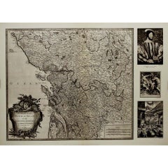
1947 original map Gouvernement Généraux du Poitou, du Pays d'Aunis

1947 original map Gouvernement Généraux du Poitou, du Pays d'Aunis

By Louis Larmat

Located in PARIS, FR

The 1947 original map Gouvernement Généraux du Poitou, du Pays d'Aunis et de Saintonge Angoumois, created by Louis Larmat and printed by Dorel in Paris, is a beautifully detailed cartographic representation of a historically significant region in western France. This map, part of Larmat’s extensive body of work, is known for its artistic craftsmanship and geographical precision, offering a comprehensive view of the historical administrative regions of Poitou, Aunis, Saintonge, and Angoumois, which played key roles in the political and cultural history of France. Louis Larmat is celebrated for his contributions to cartography, particularly for his ability to merge historical context, topographical detail, and aesthetic elegance in his maps. His works, especially those focusing on the vinicultural regions of France, are highly respected for their accuracy and artistry. This particular map, although focusing on a more political and historical aspect rather than the wine regions he is most famous for, continues his tradition of detailed regional documentation. Larmat’s cartographic works often transcended the realm of simple geographical depiction, becoming historical documents that encapsulate the cultural essence of the regions they portray. This map illustrates the general governments (administrative divisions) of the provinces of Poitou, Aunis, Saintonge, and Angoumois, regions that are steeped in history. These areas, situated along France’s western coastline, have been integral to the country’s political, economic, and cultural development over centuries. The region of Poitou, for example, is historically known as the birthplace of Eleanor of Aquitaine...

Category

1940s Prints and Multiples

Materials

Paper, Lithograph

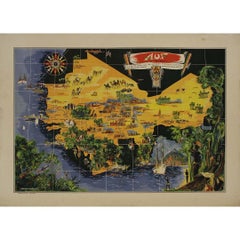
Original map poster by G. Carriat Rolant for AOF (Afrique Occidentale Française)

Original map poster by G. Carriat Rolant for AOF (Afrique Occidentale Française)

Located in PARIS, FR

The circa 1950 original map poster by G. Carriat Rolant for AOF (Afrique Occidentale Française) is a notable example of mid-20th-century cartographic art and colonial-era representation. Numbered 584 out of 1000, this limited-edition piece was edited by Paul Bory...

Category

1950s Prints and Multiples

Materials

Paper, Lithograph

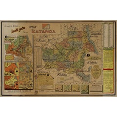
Original 1960 Map by Louis Dressen État du Katanga Congo

Original 1960 Map by Louis Dressen État du Katanga Congo

Located in PARIS, FR

This original 1960 poster by Louis Dressen, titled État du Katanga, is a rare and powerful visual document from one of the most turbulent moments in post-colonial African history. Pu...

Category

1960s Prints and Multiples

Materials

Paper, Lithograph

You May Also Like

Antique Map of Southern India by Andree, 1904

Antique Map of Southern India by Andree, 1904

Located in Langweer, NL

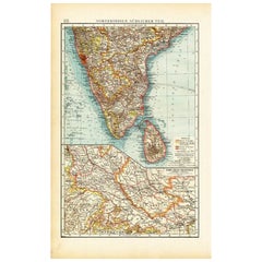
"Antique map titled 'Vorderindien, sudlicher Teil'. Map of India, southern part. This map originates from 'Andrees Allgemeiner Handatlas in 126 Haupt-Und 139 Nebenkarten', Bielefeld;...

Category

20th Century Maps

Materials

Paper

Antique Map of Southern India and South Eastern Provinces, 1903

Antique Map of Southern India and South Eastern Provinces, 1903

Located in Langweer, NL

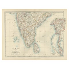
Title: Antique Map of Southern India and South Eastern Provinces, 1903, with Intricate Detail Description: This antique map, titled "India (Southern Sheet) and the South Eastern Pro...

Category

Early 20th Century Maps

Materials

Paper

Detailed Decorative Antique Map of the Coast of Malabar and Coromandel, India

Detailed Decorative Antique Map of the Coast of Malabar and Coromandel, India

Located in Langweer, NL

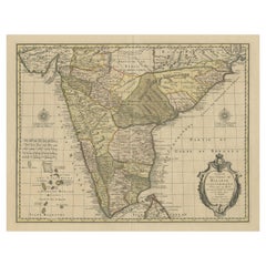
Antique map titled 'Carte des Côtes de Malabar et de Coromandel'. Finely engraved map of the southern part of India, first issued in 1723 by acclaimed French mapmaker Guillaume De L’Isle. It focuses on trade routes within India, as well as the Coromandel and Malabar Coasts...

Category

Antique Mid-18th Century Maps

Materials

Paper

Antique Map of India and Ceylon, along with the Maldives

Antique Map of India and Ceylon, along with the Maldives

Located in Langweer, NL

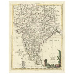
Antique map titled 'Stato del Mogol con l'Isole di Ceilan e Maldive'. Beautiful map of India and Ceylon, along with the Maldives. Includes a large decorative title cartouche. The map...

Category

Antique Late 18th Century Maps

Materials

Paper

Original Illustration Map of India by Charles Burki, 1951 – Ink Drawing

Original Illustration Map of India by Charles Burki, 1951 – Ink Drawing

Located in Langweer, NL

Original Illustration Map of India by Charles Burki, 1951 – Ink Drawing Original pen-and-ink illustration of India by Dutch artist Charles Burki (1909–1994), executed in 1951. This ...

Category

Vintage 1950s Dutch Drawings

Materials

Paper

Old Map of Southern India and Ceylon 'Sri Lanka', 1882

Old Map of Southern India and Ceylon 'Sri Lanka', 1882

Located in Langweer, NL

Antique map titled 'India (Southern Sheet)'. Old map of Southern India and Ceylon (Sri Lanka). With an inset map of the South-Eastern Provinces of India. This map originates from...

Category

Antique 1880s Maps

Materials

Paper