Want more images or videos?
Request additional images or videos from the seller
1 of 7

Unknown
1935 original map French exploration in North America

1935

$2,235.96
£1,661.71
€2,280VAT Included
CA$3,146.29
A$3,172.07
CHF 1,806.22
MX$38,557.87
NOK 21,321.52
SEK 21,260.31
DKK 14,486.32

About the Item

In 1935, a remarkable map titled "Les Français au Cœur de l'Amérique" was produced, highlighting the rich history of French exploration and influence in North America. This map is a visual representation of the vast territories and routes explored by French explorers during the 17th and 18th centuries. The map meticulously outlines the paths taken by notable French explorers, such as La Salle, Marquette, and Joliet, who ventured deep into the heart of the continent. These routes are color-coded to distinguish between different expeditions and time periods, offering a clear and comprehensive view of the extensive French exploration. In addition to the geographic routes, the map features various illustrations that provide context and historical depth. These include depictions of significant landmarks, portraits of key figures, and scenes of interactions between French explorers and Indigenous peoples. These illustrations not only add aesthetic value but also enrich the viewer's understanding of the historical narrative. One of the notable aspects of this map is its detailed cartographic elements. It covers a vast region from the Great Lakes down to the Gulf of Mexico, illustrating the French influence in areas that are now part of the United States and Canada. The inclusion of place names, rivers, and territories emphasizes the extent of French exploration and settlement. "Les Français au Cœur de l'Amérique" serves as both an educational tool and a work of art. It captures the spirit of discovery and adventure that defined the era of French exploration in North America. The map is a testament to the enduring legacy of the French in shaping the cultural and geographic landscape of the continent. This 1935 map remains a valuable piece for historians, cartographers, and enthusiasts of exploration history. It offers a vivid glimpse into the past, highlighting the significant contributions of French explorers in uncovering and mapping the vast and diverse territories of North America. Map - Geography - United States Normandy Liner Gaillac Monrocq et Cie Paris
  • Creation Year:
    1935
  • Dimensions:
    Height: 29.53 in (75 cm)Width: 42.13 in (107 cm)
  • Medium:
  • Period:
  • Condition:
    Good condition, dirt, slight creases.
  • Gallery Location:
    PARIS, FR
  • Reference Number:
    1stDibs: LU1792214657402

More From This Seller

View All
1947 original map Gouvernement Généraux du Poitou, du Pays d'Aunis

1947 original map Gouvernement Généraux du Poitou, du Pays d'Aunis

By Louis Larmat

Located in PARIS, FR

The 1947 original map Gouvernement Généraux du Poitou, du Pays d'Aunis et de Saintonge Angoumois, created by Louis Larmat and printed by Dorel in Paris, is a beautifully detailed cartographic representation of a historically significant region in western France. This map, part of Larmat’s extensive body of work, is known for its artistic craftsmanship and geographical precision, offering a comprehensive view of the historical administrative regions of Poitou, Aunis, Saintonge, and Angoumois, which played key roles in the political and cultural history of France. Louis Larmat is celebrated for his contributions to cartography, particularly for his ability to merge historical context, topographical detail, and aesthetic elegance in his maps. His works, especially those focusing on the vinicultural regions of France, are highly respected for their accuracy and artistry. This particular map, although focusing on a more political and historical aspect rather than the wine regions he is most famous for, continues his tradition of detailed regional documentation. Larmat’s cartographic works often transcended the realm of simple geographical depiction, becoming historical documents that encapsulate the cultural essence of the regions they portray. This map illustrates the general governments (administrative divisions) of the provinces of Poitou, Aunis, Saintonge, and Angoumois, regions that are steeped in history. These areas, situated along France’s western coastline, have been integral to the country’s political, economic, and cultural development over centuries. The region of Poitou, for example, is historically known as the birthplace of Eleanor of Aquitaine...

Category

1940s Prints and Multiples

Materials

Paper, Lithograph

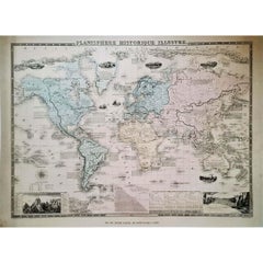
1864 Original illustrated planisphere - World Map - Geography

1864 Original illustrated planisphere - World Map - Geography

Located in PARIS, FR

Immerse yourself in the epic journey of the past with the Illustrated Historical Planisphere of 1864 by Charpentier! 🗺️ This cartographic treasure transports you through the intrica...

Category

1860s Prints and Multiples

Materials

Linen, Paper, Lithograph

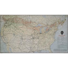
Original 1922 Canadian Pacific Railway North America Route Map Poster

Original 1922 Canadian Pacific Railway North America Route Map Poster

Located in PARIS, FR

This impressive original 1922 Canadian Pacific Railway map poster presents a detailed overview of one of the most ambitious transportation networks ever constructed in North America....

Category

1920s More Prints

Materials

Paper, Lithograph

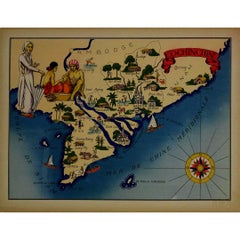
1943 original illustrated map of Cochinchine by Dylbert

1943 original illustrated map of Cochinchine by Dylbert

Located in PARIS, FR

The 1943 original illustrated map of Cochinchine by Dylbert is a striking example of cartographic artistry from a period steeped in global conflict and colonial influence. Created du...

Category

1940s Prints and Multiples

Materials

Linen, Paper, Lithograph

You May Also Like

Original Antique Map of North America by Dower, circa 1835

Original Antique Map of North America by Dower, circa 1835

Located in St Annes, Lancashire

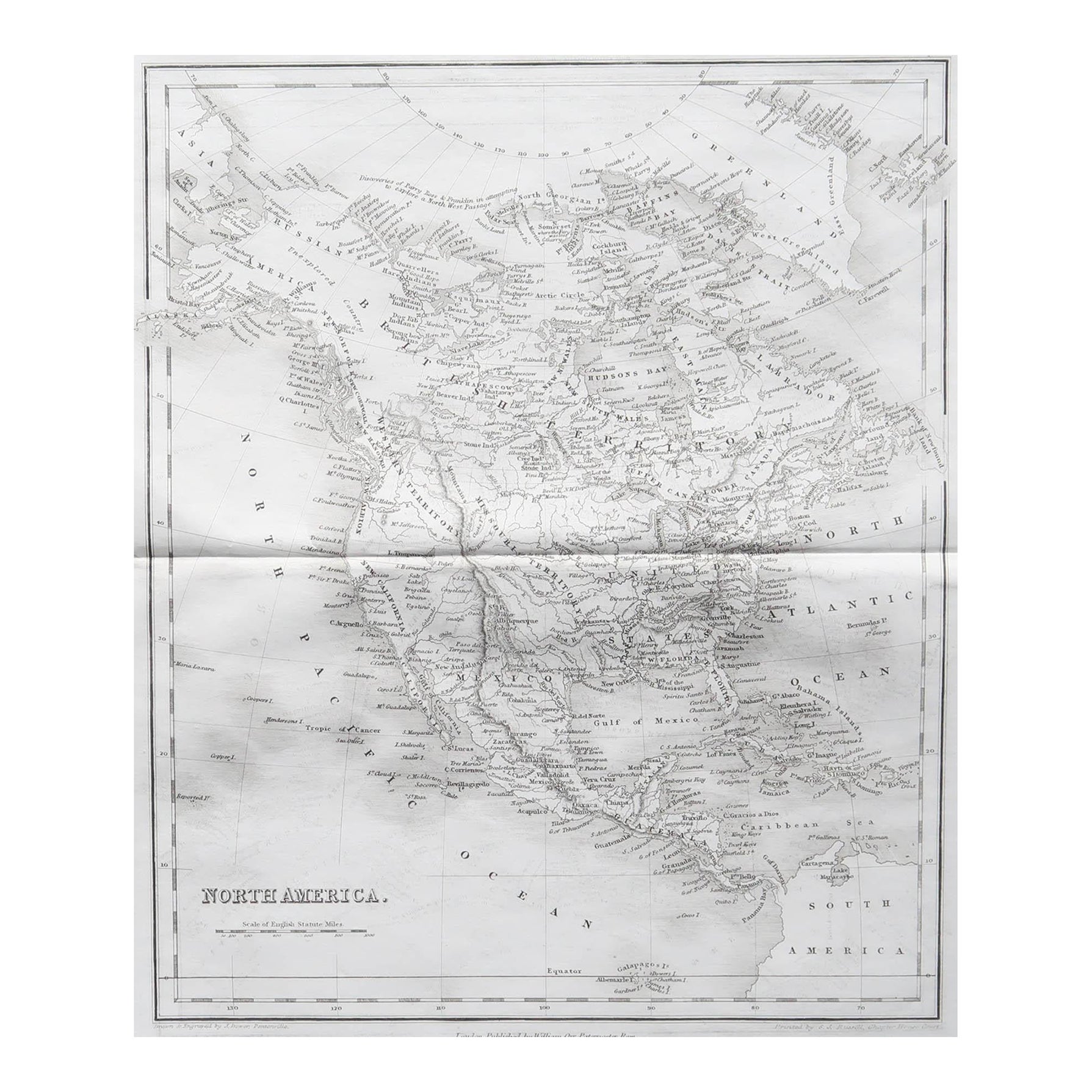
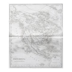
Nice map of North America Drawn and engraved by J.Dower Published by Orr & Smith. C.1835 Unframed. Free shipping

Category

Antique 1830s English Maps

Materials

Paper

Large Original Vintage Map of North America, circa 1920

Large Original Vintage Map of North America, circa 1920

Located in St Annes, Lancashire

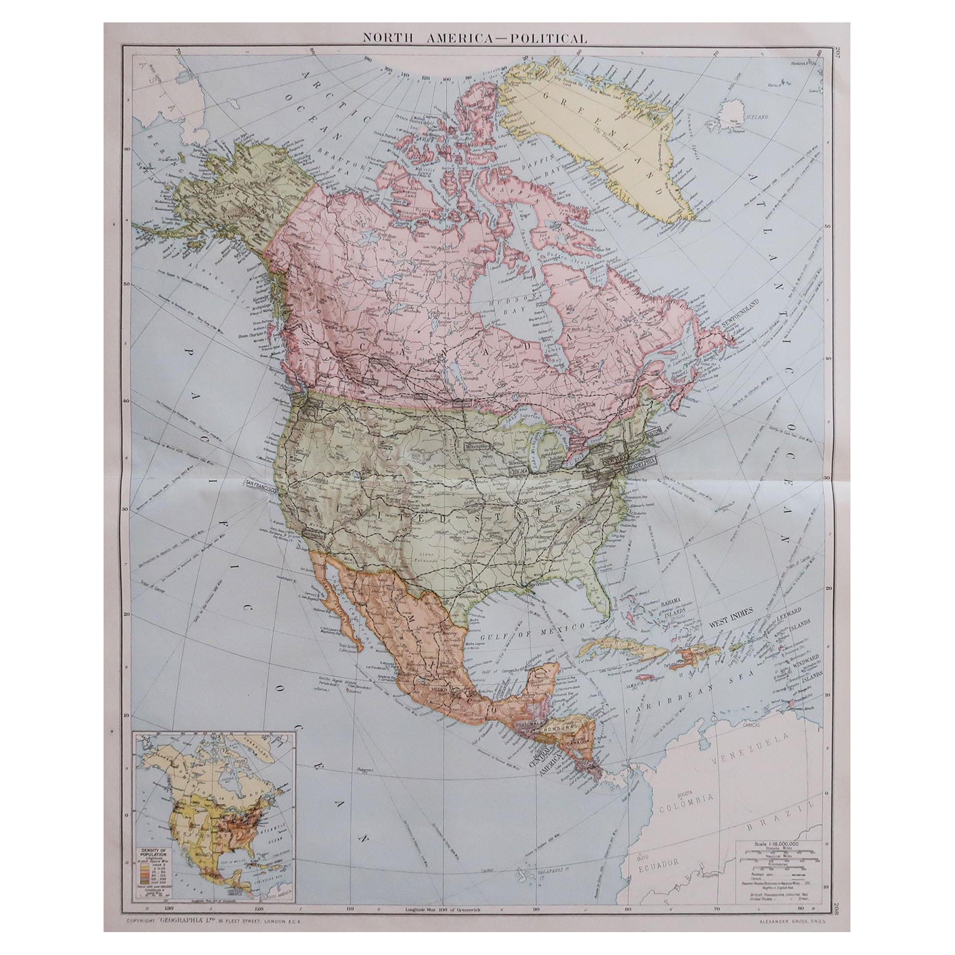
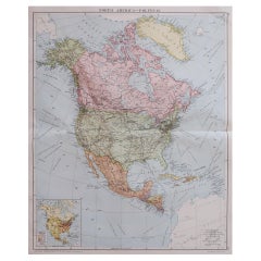
Great map of North America Original color. Good condition Published by Alexander Gross Unframed.  

Category

Vintage 1920s English Edwardian Maps

Materials

Paper

Antique Map of North America by Dufour 'circa 1834'

Antique Map of North America by Dufour 'circa 1834'

Located in Langweer, NL

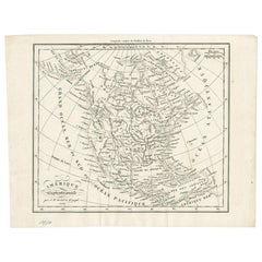
Antique map titled 'Amérique Septentrionale'. Uncommon map of North America. Published by or after A.H. Dufour, circa 1834. Source unknown, to be determined.

Category

Antique Mid-19th Century Maps

Materials

Paper

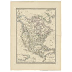
Antique Map of North America by Pierre M. Lapie, Paper, France, 1842

Antique Map of North America by Pierre M. Lapie, Paper, France, 1842

Located in Langweer, NL

Antique map titled 'Carte de l'Amérique septentrionale'. Map of North America, with an inset map of the Aleutian Islands. This map originates from 'Atlas universel de géographie anci...

Category

Antique Mid-19th Century French Maps

Materials

Paper

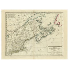
Antique Map of the Northeastern United States and Canada by Tardieu, 1802

Antique Map of the Northeastern United States and Canada by Tardieu, 1802

Located in Langweer, NL

This antique map titled "Carte de la Partie Septentrionale des Etats Unis," created by Pierre Antoine Tardieu, depicts the northeastern part of the United States and parts of Canada....

Category

Antique Early 1800s Maps

Materials

Paper