Want more images or videos?
Request additional images or videos from the seller
1 of 2

Franz Hogenberg
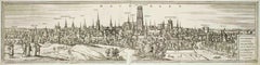
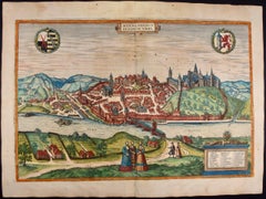
Bremen, Map from "Civitates Orbis Terrarum" - by F.Hogenberg - 1572-1617

1572-1617

$295.02
£218.02
€250VAT Included
CA$409.39
A$416.82
CHF 240.05
MX$5,022.31
NOK 2,785.78
SEK 2,810.68
DKK 1,906.02

About the Item

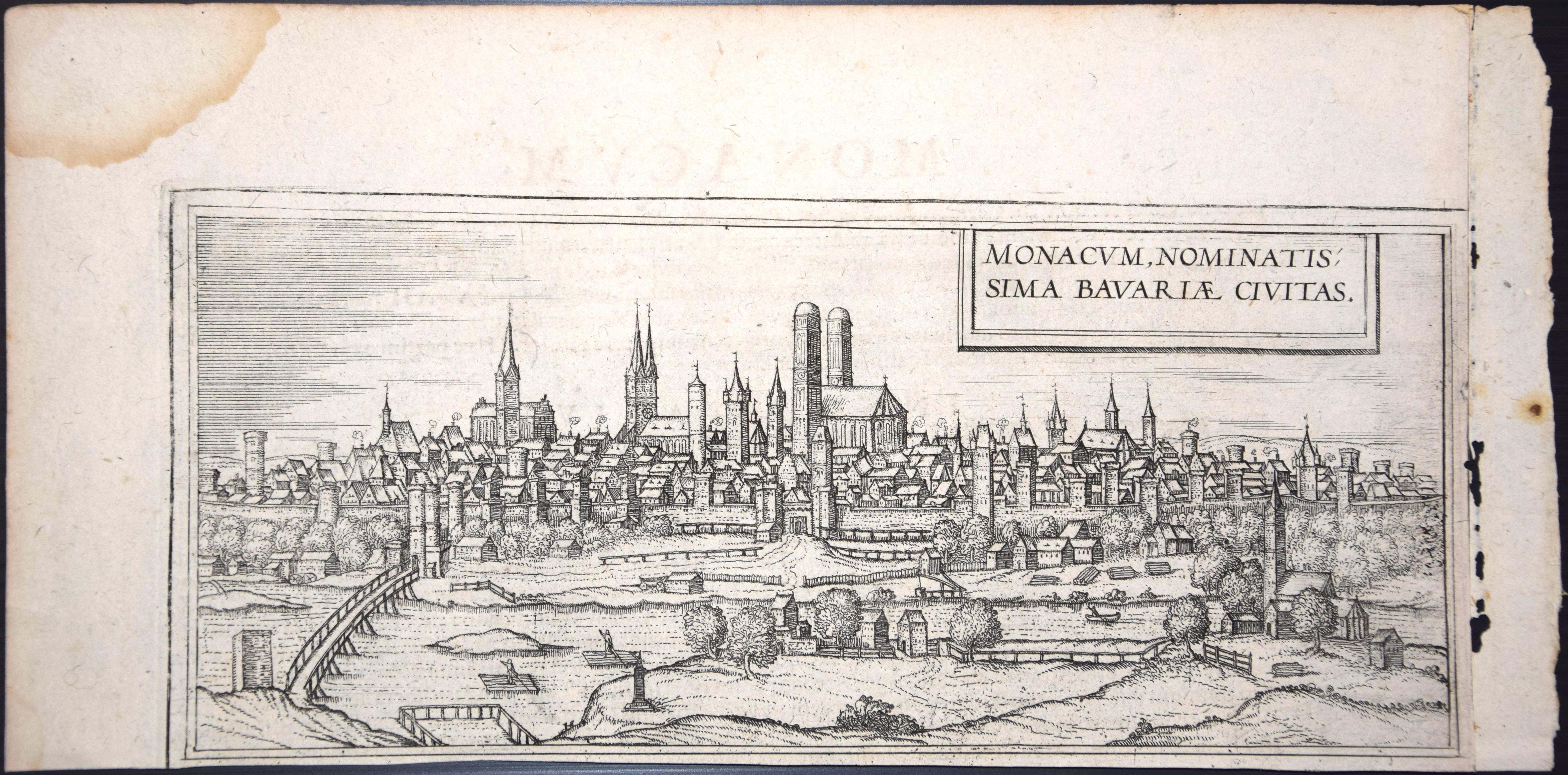
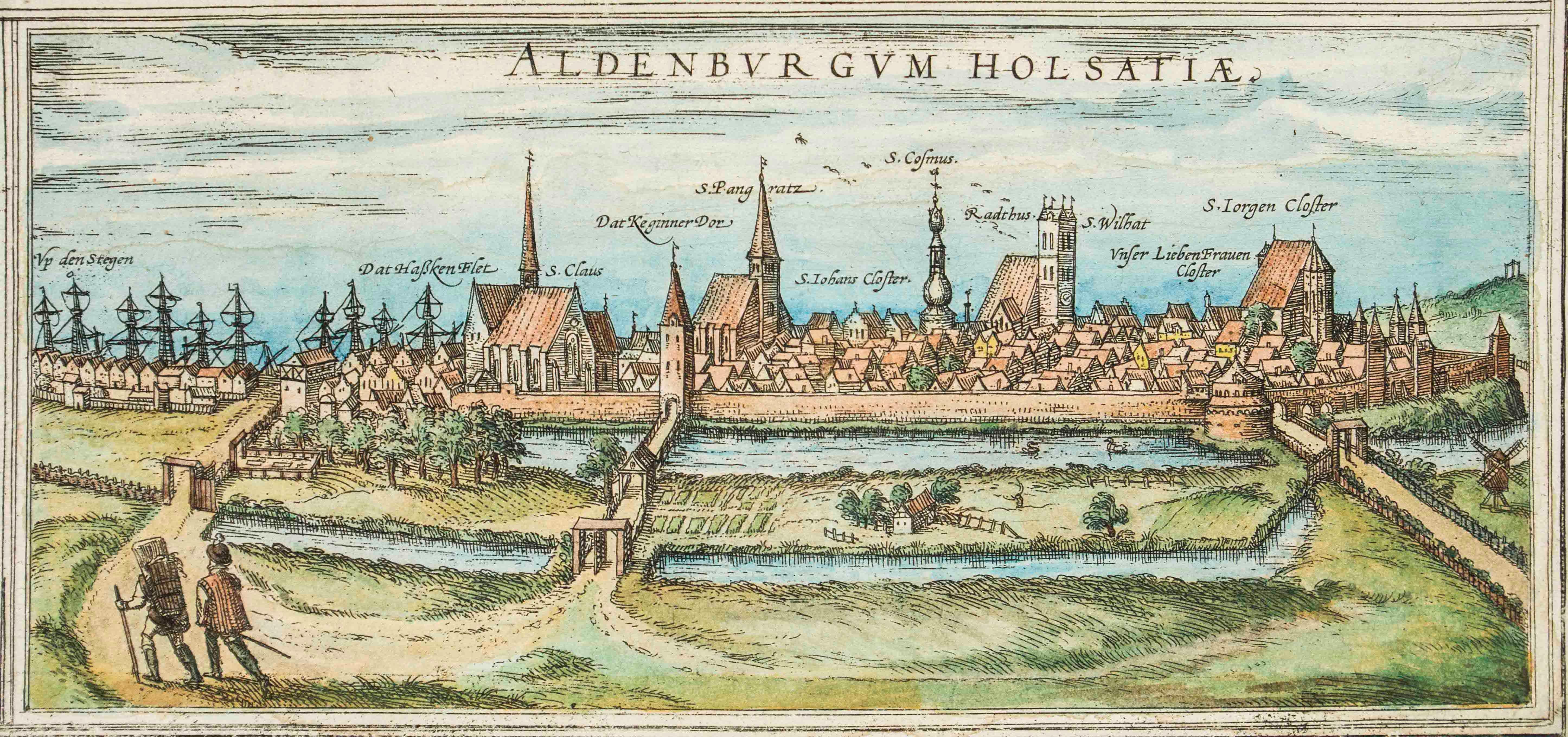
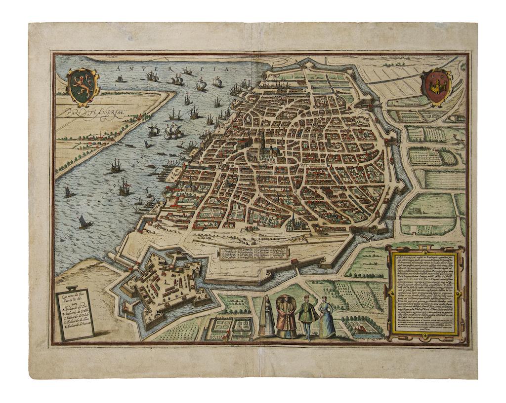
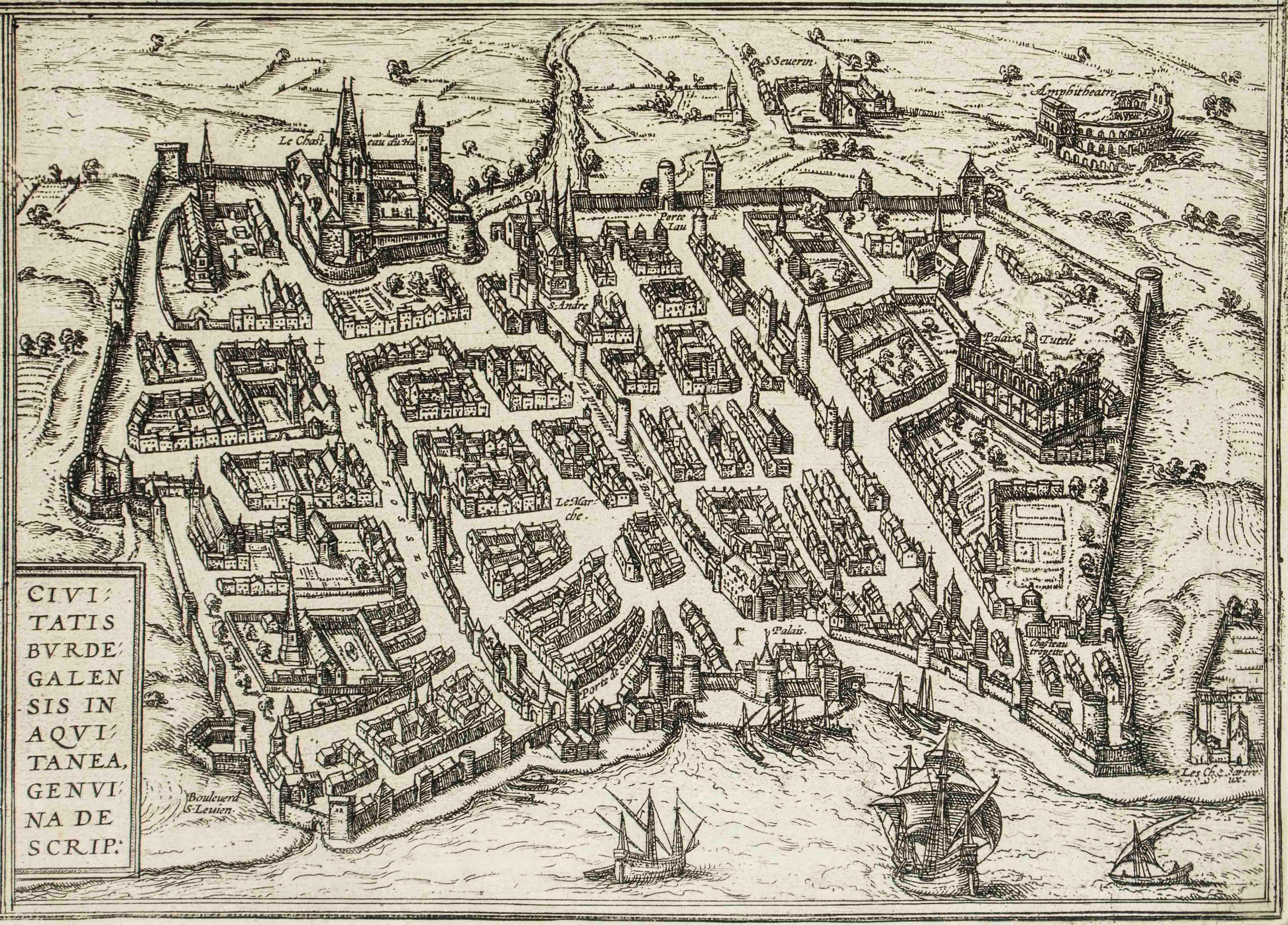
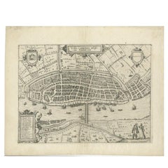
Braun G. and Hogenberg F., Brema, from the collection "Civitates Orbis Terrarum", Cologne, T. Graminaeus, 1572-1617. Image dimensions: 10.5 x 23.5 cm. Dimensions: 15 x 26 cm. Very fine B/W aquatint showing a view of the German city of Bremen, made from a woodcut of 1550 ca. by Martin Weigel. Very good conditions, except some minor stains on the lower margin. The “Civitates Orbis Terrarum” (Atlas of Cities of the World) was the second oldest printed atlas in the history of world cartography and the first atlas totally dedicated to topographical views. The first volume of this collection was published in Cologne in 1572; the others in 1575, 1581, 1588, and 1598. The sixth and final volume appeared in 1617, just before the extensive devastation wreaked by the Thirty Years’ War.
  • Creator:
    Franz Hogenberg (1540 - 1590, Flemish)
  • Creation Year:
    1572-1617
  • Dimensions:
    Height: 5.91 in (15 cm)Width: 10.24 in (26 cm)Depth: 0.04 in (1 mm)
  • Medium:
  • Period:
  • Condition:
    Insurance may be requested by customers as additional service, contact us for more information.
  • Gallery Location:
    Roma, IT
  • Reference Number:
    Seller: J-718571stDibs: LU65034105242

More From This Seller

View All
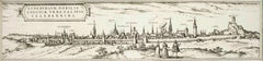
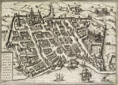
Luneburg, Map from "Civitates Orbis Terrarum" - by F.Hogenberg - 1575

Luneburg, Map from "Civitates Orbis Terrarum" - by F.Hogenberg - 1575

By Franz Hogenberg

Located in Roma, IT

"Luneburg", from the collection "Civitates Orbis Terrarum", Cologne, T. Graminaeus, 1575. The “Civitates Orbis Terrarum” (Atlas of Cities of the World) was the second oldest print...

Category

16th Century Figurative Prints

Materials

Etching, Aquatint

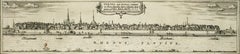
Bonn, Map from "Civitates Orbis Terrarum" - by F. Hogenberg - 1575

Bonn, Map from "Civitates Orbis Terrarum" - by F. Hogenberg - 1575

By Franz Hogenberg

Located in Roma, IT

Braun G., Hogenberg F., Vienna or Bonn, from the collection Civitates Orbis Terrarum, Cologne, T. Graminaeus, 1572-1617. Very fine B/W aquatint showing a wonderful view of the German city Bonn, named after its antique name...

Category

16th Century Figurative Prints

Materials

Etching, Aquatint

Machelen, Map from "Civitates Orbis Terrarum" - by F. Hogenberg - 1575

Machelen, Map from "Civitates Orbis Terrarum" - by F. Hogenberg - 1575

By Franz Hogenberg

Located in Roma, IT

"Machelen", from the collection "Civitates Orbis Terrarum", Cologne, T. Graminaeus, 1575. The “Civitates Orbis Terrarum” (Atlas of Cities of the World) was the second oldest print...

Category

16th Century Figurative Prints

Materials

Etching, Aquatint

Burdigala, Map from "Civitates Orbis Terrarum" - by F.Hogenberg - 1575

Burdigala, Map from "Civitates Orbis Terrarum" - by F.Hogenberg - 1575

By Franz Hogenberg

Located in Roma, IT

"Burdigala", from the collection "Civitates Orbis Terrarum", Cologne, T. Graminaeus, 1575. The “Civitates Orbis Terrarum” (Atlas of Cities of the World) was the second oldest prin...

Category

16th Century Figurative Prints

Materials

Etching, Aquatint

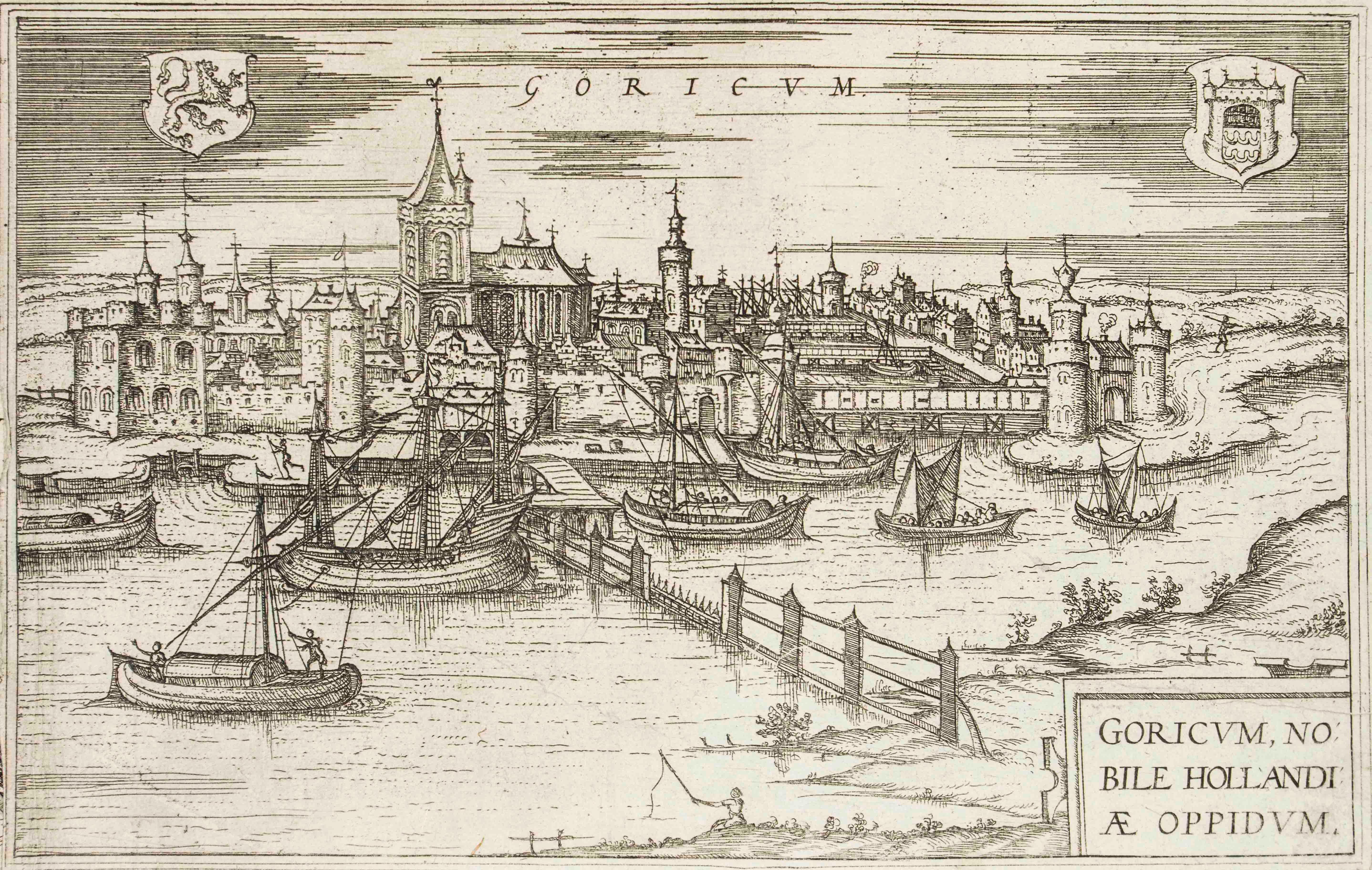
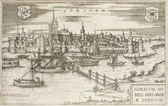
Goricum, Map from "Civitates Orbis Terrarum" - by F.Hogenberg - 1575

Goricum, Map from "Civitates Orbis Terrarum" - by F.Hogenberg - 1575

By Franz Hogenberg

Located in Roma, IT

"Goricum", from the collection "Civitates Orbis Terrarum", Cologne, T. Graminaeus, 1575. The “Civitates Orbis Terrarum” (Atlas of Cities of the World) was the second oldest printe...

Category

16th Century Figurative Prints

Materials

Etching, Aquatint

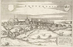
Broversavia, Map from "Civitates Orbis Terrarum" - by F.Hogenberg - 1575

Broversavia, Map from "Civitates Orbis Terrarum" - by F.Hogenberg - 1575

By Franz Hogenberg

Located in Roma, IT

"Broversavia", from the collection "Civitates Orbis Terrarum", Cologne, T. Graminaeus, 1575. The “Civitates Orbis Terrarum” (Atlas of Cities of the World) was the second oldest pr...

Category

16th Century Figurative Prints

Materials

Etching, Aquatint

You May Also Like

18th Century Map Engraving - Mechlin, or Malines

18th Century Map Engraving - Mechlin, or Malines

Located in Corsham, GB

A map of Mechelen, known as Malines in French and Mechlin in English, a city and municipality in the province of Antwerp in the Flemish Region of Belgium. A birds-eye view plan of th...

Category

18th Century More Prints

Materials

Engraving

Antique Map of the City of Kampen by Guicciardini, 1613

Antique Map of the City of Kampen by Guicciardini, 1613

Located in Langweer, NL

Antique map titled 'Urbis Campensis (..)'. Plan of the city of Kampen, the Netherlands. This map originates from the 1613 edition of 'Discrittione di tutti i Paesi Bassi', by L. Guic...

Category

Antique 17th Century Maps

Materials

Paper

Antique Haarlem Map, Sebastian Münster Cosmographia Woodcut, c.1575

Antique Haarlem Map, Sebastian Münster Cosmographia Woodcut, c.1575

Located in Langweer, NL

Antique Haarlem Map, Sebastian Münster Cosmographia Woodcut, c.1575 A rare original sixteenth-century woodcut map and bird's-eye view of Haarlem, published in Sebastian Münster's ce...

Category

Antique 16th Century Dutch Maps

Materials

Paper

Antique Map of the City of Emden by Blaeu, 1649

Antique Map of the City of Emden by Blaeu, 1649

Located in Langweer, NL

Antique map titled 'Emda'. Old map of the city of Emden, Germany. This map originates from 'Novum Ac Magnum Theatrum Urbium Belgicæ Liberæ ac Foederatæ' by J. Blaeu. Artists and Engr...

Category

Antique 17th Century Maps

Materials

Paper

Antique Town Plan of Emden ‘Germany’ by Braun & Hogenberg, 1597

Antique Town Plan of Emden ‘Germany’ by Braun & Hogenberg, 1597

Located in Langweer, NL

Antique map titled 'Embdena (..)'. Old, antique bird's-eye view plan of Emden, Germany. This bird's-eye view from the southwest over the Dollart shows Emden, which developed from a trading settlement in the 7th/8th centuries into a city as late as late 14th century. In 1494 it was granted staple rights, and in 1536 the harbour was extended. In the mid-16th century Emden's port was thought to have the most ships in Europe. Its population then was about 5,000, rising to 15,000 by the end of the 16th century. The Ems flowed directly under the city walls, but its course was changed in the 17th century by the construction of a canal. Emden has canals within its city limits, a typical feature of Dutch towns, which also enabled the extension of the harbour. Emden's first herring company was founded in 1553, and in 1595 Emden was created a Free Imperial City under the protection of Holland. Published by Braun...

Category

Antique 16th Century German Maps

Materials

Paper

View of Meissen, Germany: A 16th Century Hand-colored Map by Braun & Hogenberg

View of Meissen, Germany: A 16th Century Hand-colored Map by Braun & Hogenberg

By Franz Hogenberg

Located in Alamo, CA

This is a 16th century original hand-colored copperplate engraved map of View of View of Meissen, Germany entitled "Misena Hermun Duvorum Urbs" by Georg Braun & Franz Hogenberg, from their famous city atlas "Civitates Orbis Terrarum", published in Cologne, Germany in 1575. The map depicts a side view and bird's-eye view, looking across the Elbe River (labelled Albis Fluvius on the map; White River in Latin) from the northeast. In the foreground are three women in conversation on a hill above the city, along with a man and a woman in conversation by a road, all dressed in contemporary costumes of the upper class. A coat-of-arms is present in each upper corner. A great castle sits atop a hill in the background on the left. Meissen grew up around Albrechtsburg castle, built by Emperor Henry I around AD 929, and was granted a municipal charter at the end of the 12th century. From 1471 onwards, the castle complex was reconstructed as the residence of the Saxon electors on the northeast corner of the Domberg (Cathedral Hill). Meissen cathedral is a Gothic hall church begun c. 1270; in 1413 a bolt of lightning destroyed its west towers, which were replaced only in the 20th century. Meissen lies to the northwest of Dresden, Germany in Saxony. Meissen is famous for its Meissen porcelain and the Albrechtsburg castle The following is an English translation of an excerpt from Braun's description of the city:  "This city is surrounded by very many rivers, to the east flows the Elbe, to the south the Triebisch, to the west are the mountains, to the north the Meisse, after which the city is said to be named. The city is well-situated in its surroundings, the navigable rivers, the mountains and the healthy air. Around the city there is a good land to grow grain, fertile vineyards on the hillsides and without doubt the mountains are not without ore, for one mile away, up the Elbe, is Scharfenberg, where silver and lead ore are mined.." 
  References: Van der Krogt 4, 2684; Taschen, Braun and Hogenberg...

Category

16th Century Old Masters Landscape Prints

Materials

Engraving