Want more images or videos?
Request additional images or videos from the seller
1 of 5

Frederick de Wit
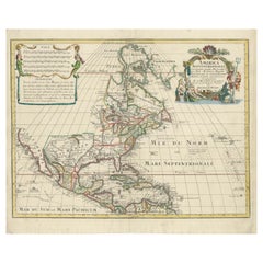
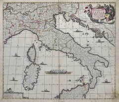
Novissima et Accuratissima... - Etching by Frederick de Wit - 1680 ca

1680 ca

$1,647.25
£1,219.71
€1,400VAT Included
CA$2,294.39
A$2,334.25
CHF 1,337.76
MX$28,105.78
NOK 15,635.90
SEK 15,704.53
DKK 10,675.58

About the Item

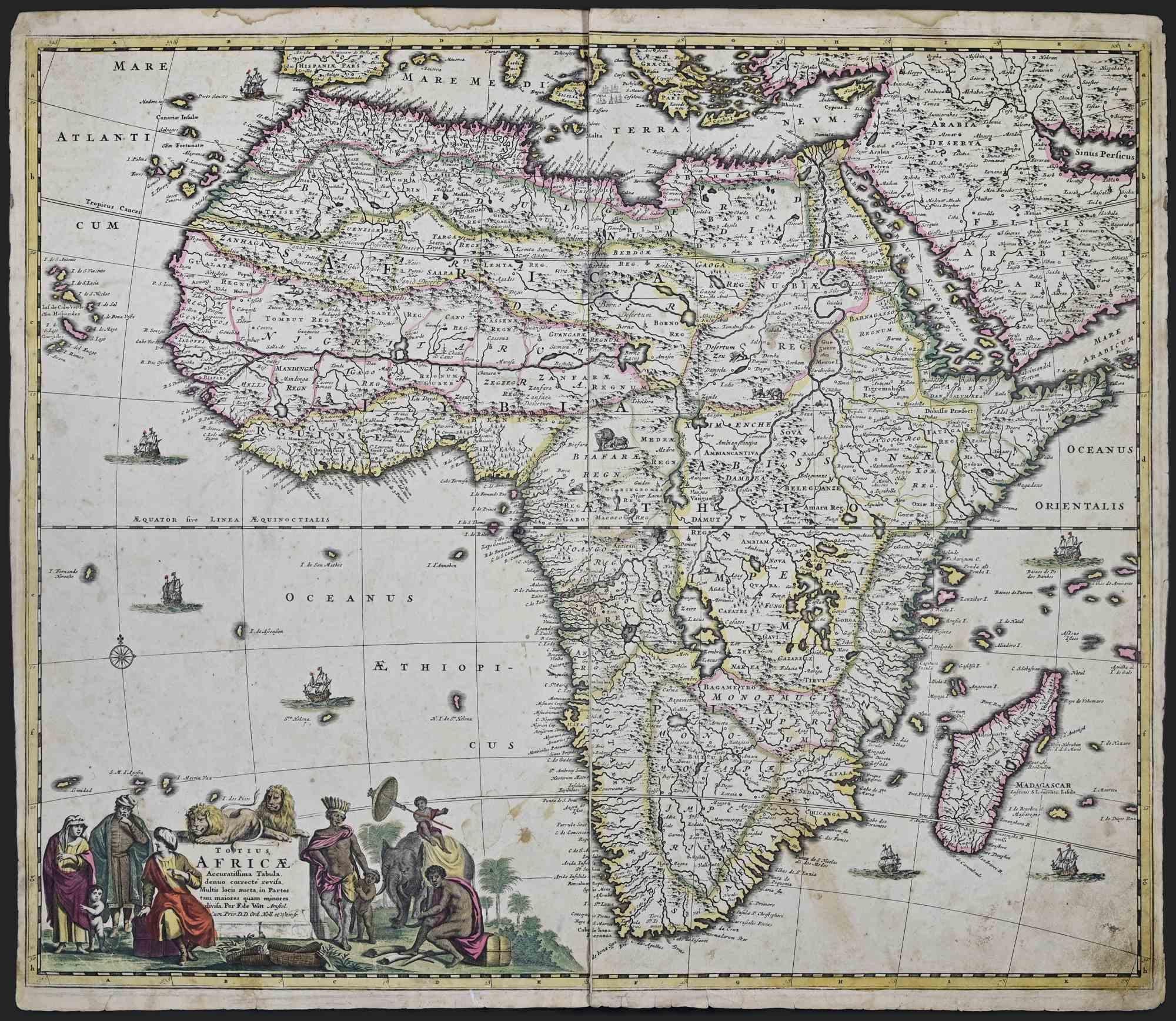
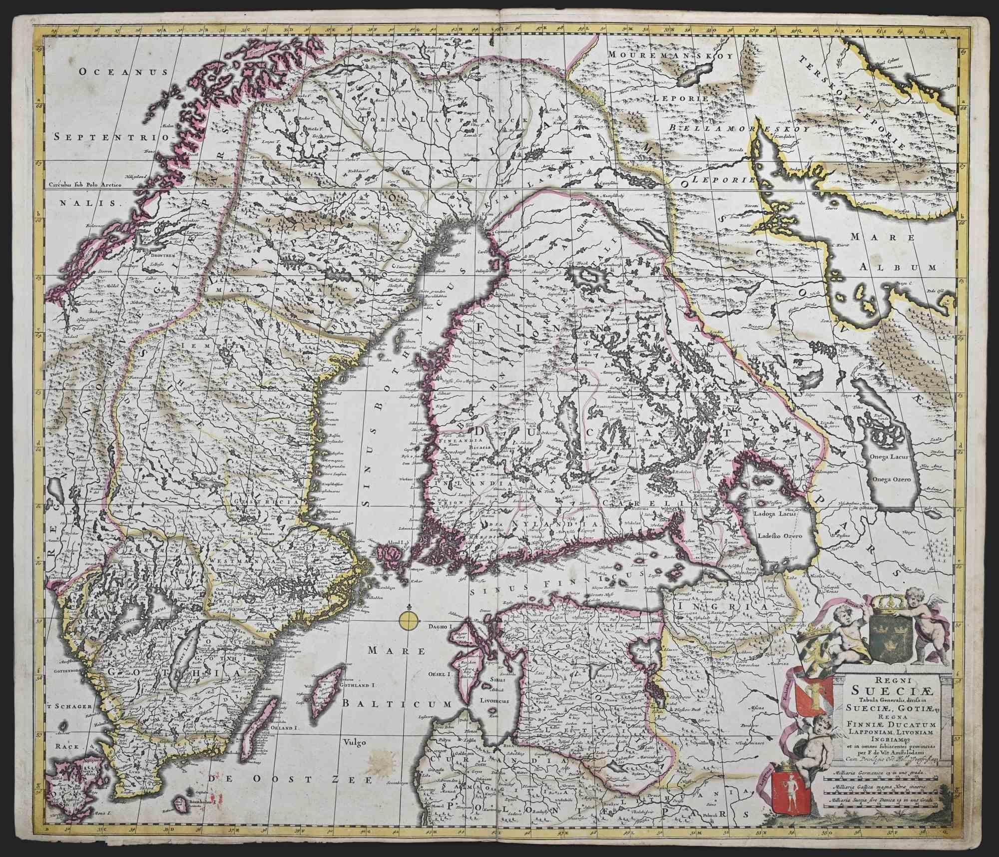
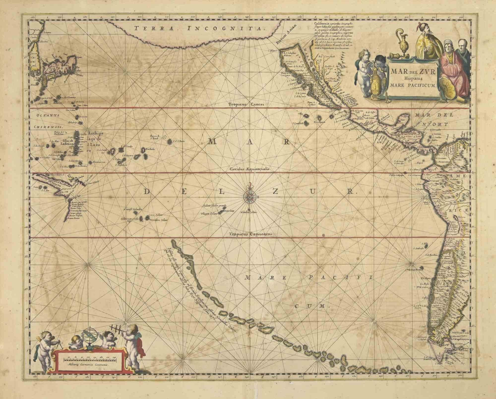
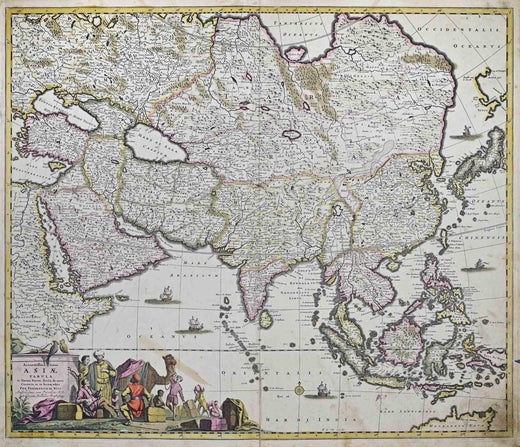
This double-page etching with contemporary coloring, entitled Novissima et Accuratissima Septentrionalis ac Meridionalis Americae, was realized by the cartographer Frederick de Wit for the famous Atlas published in Amsterdam in ca. 1680. The state of preservation is fair: central fold reinforced in antiquity on the reverse, rips, stains and browning of the paper. Folio, measures ca. cm 51,5x59,8 Inscription on the reverse "Foglio II / America"  Frederick de Wit was a cartographer and map-seller who was best known for his atlases and his Dutch town maps. His maps were known for their accuracy and detail, and contributed significantly to the documentation and understanding of the lands explored and discovered in the 17th century. His work had a considerable influence on the diffusion of geographical and cartographic knowledge of the time.
  • Creator:
    Frederick de Wit (1630 - 1706, Dutch)
  • Creation Year:
    1680 ca
  • Dimensions:
    Height: 20.28 in (51.5 cm)Width: 23.55 in (59.8 cm)Depth: 0.04 in (1 mm)
  • Medium:
  • Movement & Style:
  • Period:
    1680-1689
  • Framing:
    Framing Options Available
  • Condition:
    Insurance may be requested by customers as additional service, contact us for more information.
  • Gallery Location:
    Roma, IT
  • Reference Number:
    Seller: T-1548931stDibs: LU650316386882

More From This Seller

View All

You May Also Like

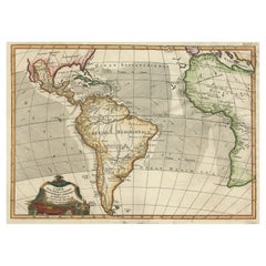
Antique Map of South American, The West Indies & Most of Africa, Ca.1775

Antique Map of South American, The West Indies & Most of Africa, Ca.1775

Located in Langweer, NL

Antique map titled 'Carte pour Servir a l' Histoire Philosophique et Politique des Etablissemens et du Commerce des Europeens dans les deux Indes'. This map is roughly centered o...

Category

Antique 1770s Maps

Materials

Paper

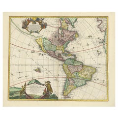
Antique Map of America with California as an Island by Homann '1710'

Antique Map of America with California as an Island by Homann '1710'

Located in Langweer, NL

This antique map, titled "Totius Americae Septentrionalis et Meridionalis," represents a significant cartographic piece from 1710 by Johann Baptist Homann. Here's a description of this remarkable map: - Title: Totius Americae Septentrionalis et Meridionalis (...) - Date: Published in 1710 by Johann Baptist Homann. Description: This map is a first edition of Johann Baptiste Homann's map of America, and it is notable for several cartographic features and historical representations: 1. California as an Island...

Category

Antique Early 18th Century Maps

Materials

Paper

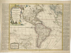
Detailed 1795 Map of the Americas with Exploration Tracks and Nice Cartouche

Detailed 1795 Map of the Americas with Exploration Tracks and Nice Cartouche

Located in Langweer, NL

This is a very handsome and rare 1795 map of the Americas titled "Amerique ou Nouveau Continent Dressee sur les Nouvelles Relations Decouvertes et Observations" by Jean Baptiste Noli...

Category

Antique 1790s Maps

Materials

Paper

Scarce Latin Edition of Guillaume Delisle's 1700 Map of North America

Scarce Latin Edition of Guillaume Delisle's 1700 Map of North America

Located in Langweer, NL

Scarce German Edition of Guillaume Delisle's 1700 Map of North America This beautifully colored and highly detailed map is a rare Latin edition of Guillaume Delisle's influential 17...

Category

Antique Early 1700s German Maps

Materials

Paper