Want more images or videos?
Request additional images or videos from the seller
1 of 5

Frederick de Wit
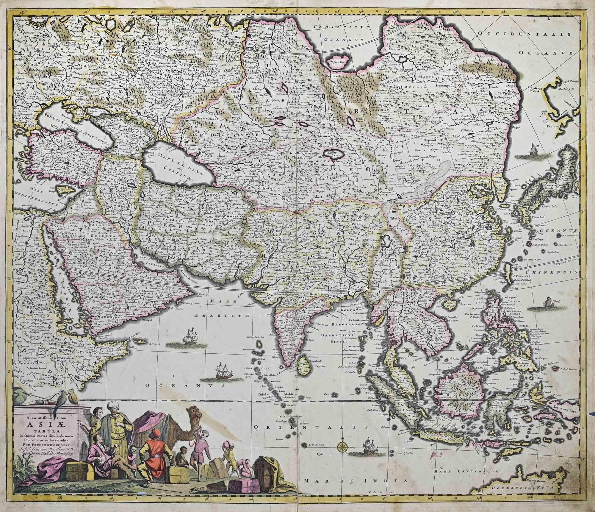
Novissima et Accuratissima Totius.. - Etching by Frederick de Wit - 1680ca

1680 ca

$1,410.36
£1,045.45
€1,200VAT Included
CA$1,967.24
A$2,001.05
CHF 1,148.40
MX$24,054.93
NOK 13,396
SEK 13,522.11
DKK 9,150.51

About the Item

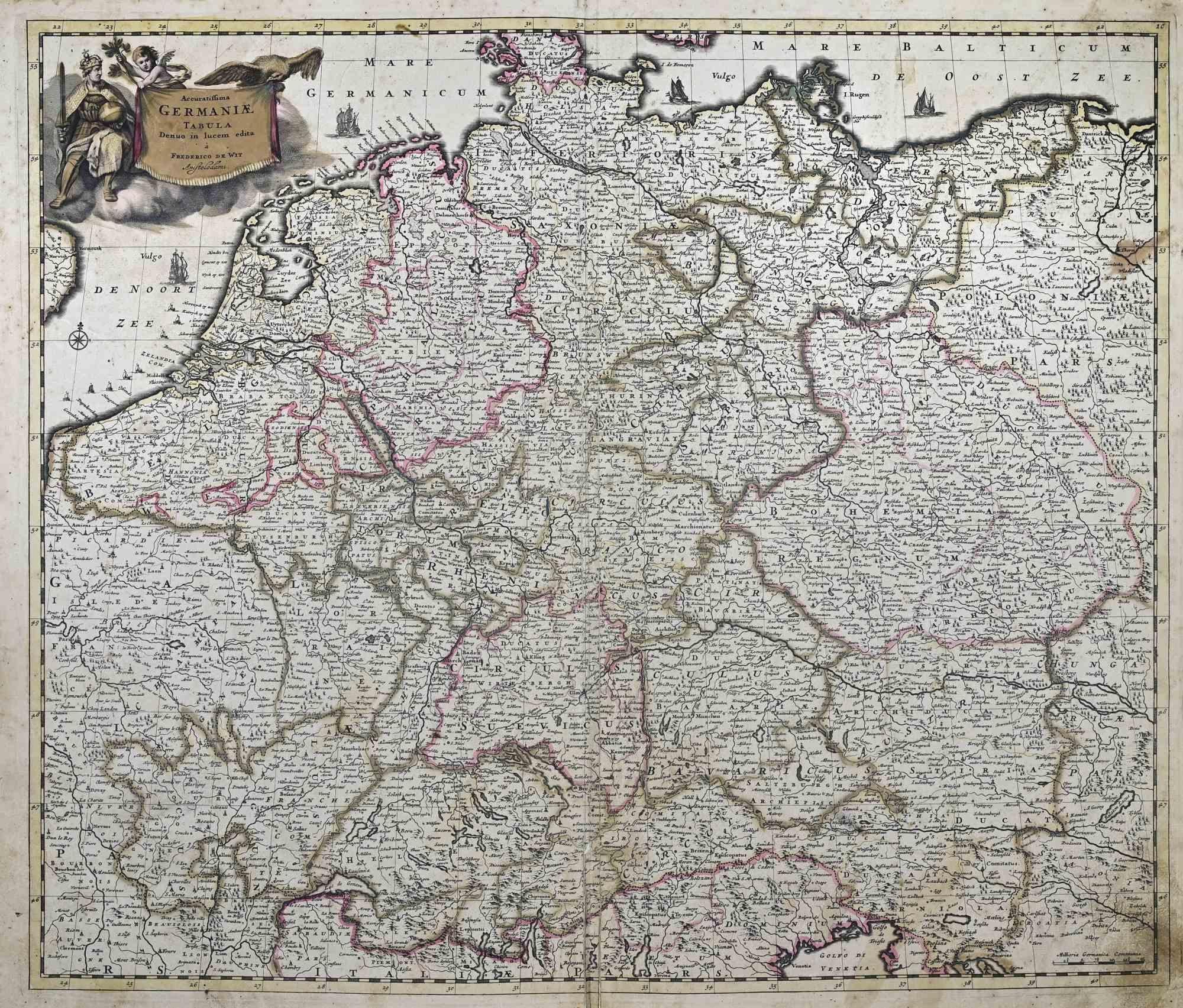
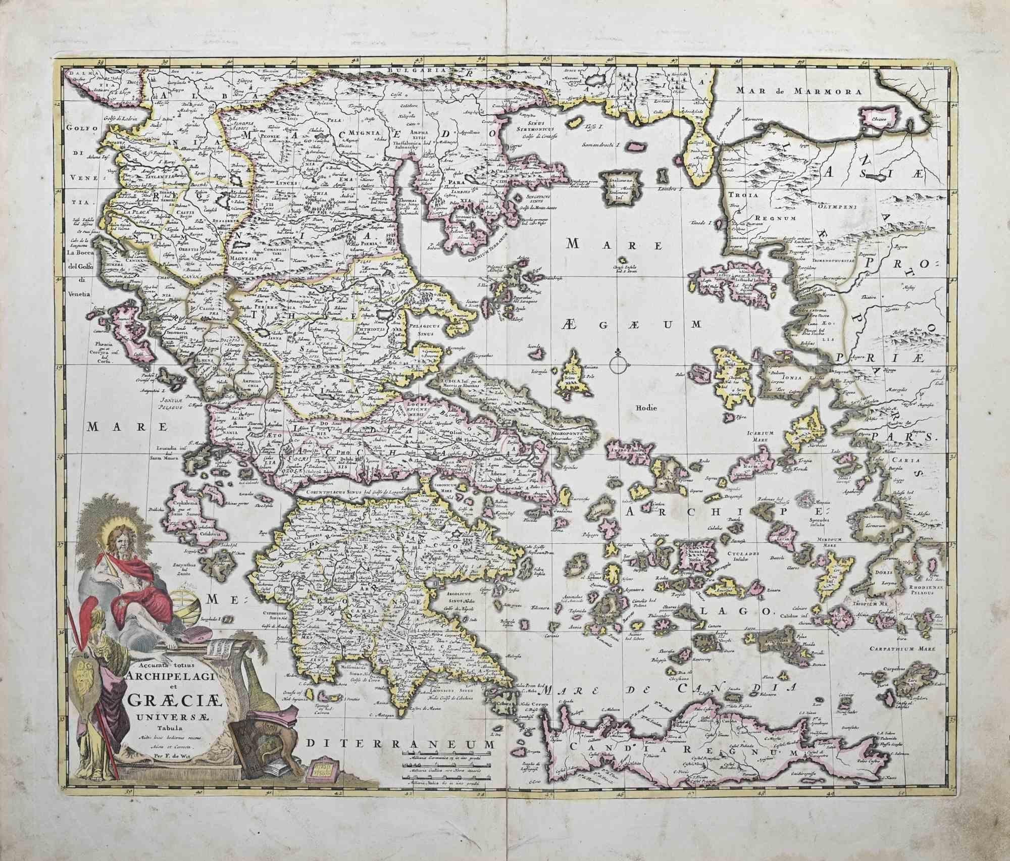
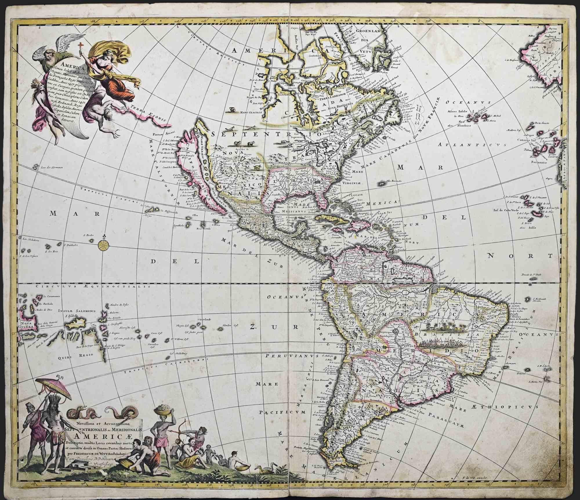
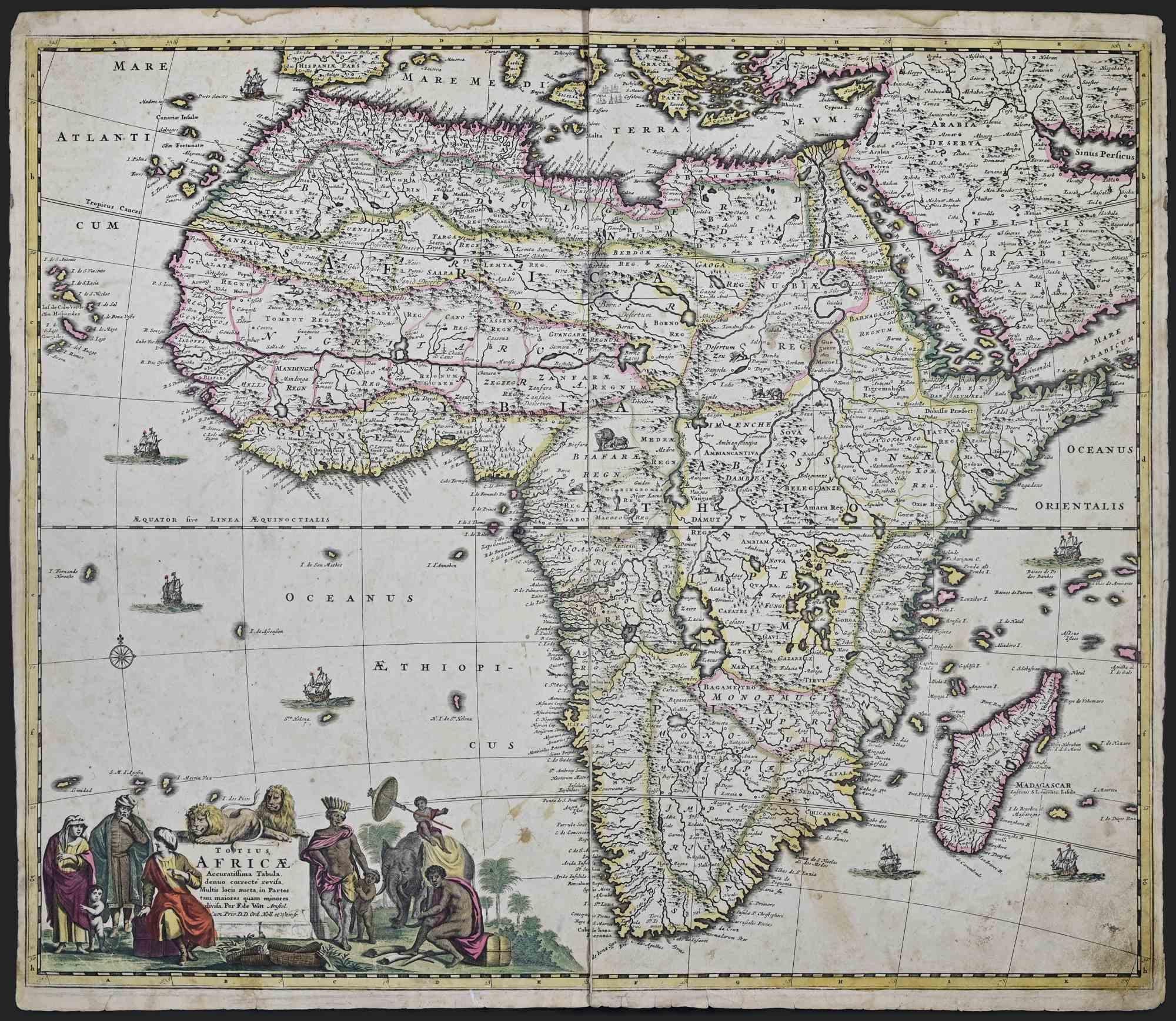
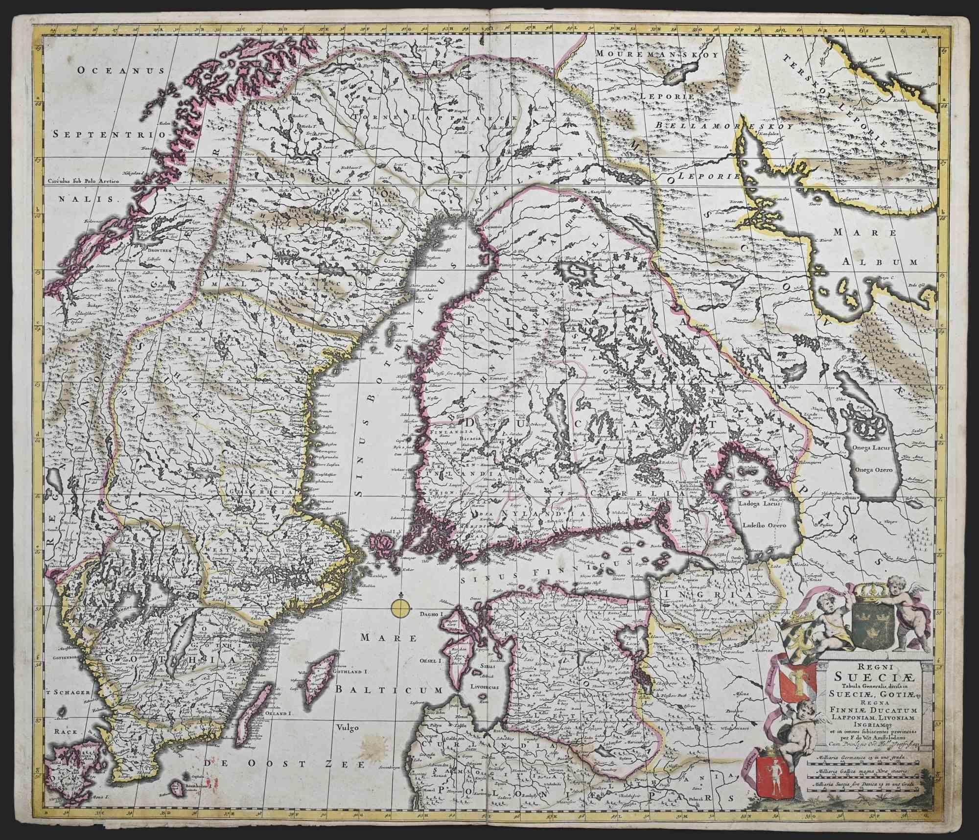
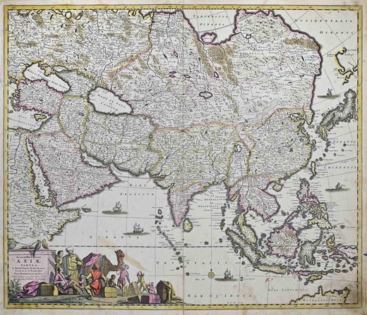
This double-page etching with contemporary coloring, entitled Novissima et Accuratissima totius Italiae, Corsicae et Sardiniae, was realized by the cartographer Frederick de Wit for the famous Atlas published in Amsterdam in ca. 1680. The state of preservation is fair: central fold reinforced in antiquity on the reverse, rips, corners worn, stains and browning of the paper. Folio, measures ca. cm 51,5x59,8 Inscription on the reverse "Foglio 8 / Italia Corsica e Sardegna " Frederick de Wit was a cartographer and map-seller who was best known for his atlases and his Dutch town maps. His maps were known for their accuracy and detail, and contributed significantly to the documentation and understanding of the lands explored and discovered in the 17th century. His work had a considerable influence on the diffusion of geographical and cartographic knowledge of the time.
  • Creator:
    Frederick de Wit (1630 - 1706, Dutch)
  • Creation Year:
    1680 ca
  • Dimensions:
    Height: 20.28 in (51.5 cm)Width: 23.55 in (59.8 cm)Depth: 0.04 in (1 mm)
  • Medium:
  • Movement & Style:
  • Period:
    1680-1689
  • Framing:
    Framing Options Available
  • Condition:
    Insurance may be requested by customers as additional service, contact us for more information.
  • Gallery Location:
    Roma, IT
  • Reference Number:
    Seller: T-1549061stDibs: LU650316393422

More From This Seller

View All

You May Also Like

Naples and S. Italy: A Large 17th C. Hand-colored Map by Sanson and Jaillot

Naples and S. Italy: A Large 17th C. Hand-colored Map by Sanson and Jaillot

By Nicholas Sanson d'Abbeville

Located in Alamo, CA

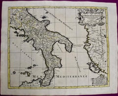
This large hand-colored map entitled "Le Royaume de Naples Divisé en Douze Provinces. sur les Memoires les plus Nouveaux. Par le Sr. Sanson Presenté" was originally created by Nicholas Sanson d'Abbeville and published by Hubert Jaillot in "Atlas Nouveau" in Paris in 1692. It depicts central and southern Italy, as well as Corfu, Albania, Mediterranean Sea and the Adriatic Sea. Naples, Sorrento, the Isle of Capri, Rome in the upper left corner of the map, as well as many other landmarks. This striking original hand-colored map of Italy is printed on antique hand-made laid, chain-linked paper with wide margins. The sheet measures 20" high and 24.88" wide. There is one spot on the left, it is otherwise in very good to excellent condition. Nicholas Sanson d'Abbeville (1600-1667) was one of the greatest French cartographather of French cartography. Sanson opened his first printing business in Paris in 1638. The king recognized his skill and knowledge and made him the official geographer to the court. He eventually served two kings in this capacity. Sanson was succeeded by his sons and son...

Category

1690s Landscape Prints
Materials

Engraving

Antique Engraved Map of Italy in Roman Times, ca.1730

Antique Engraved Map of Italy in Roman Times, ca.1730

Located in Langweer, NL

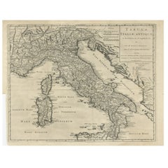
Plain engr. map of Italy according to the division of Emperor Augustus by G. Delisle. Title: "Tabula Italiae Antiquae In Regiones XI Ab Augusto Divisae Et Tum Ad Mensuras Itinerari...

Category

Antique 1730s Maps

Materials

Paper

Westras: A Jan van Aveelen Engraving from 'Suecia Antiqua et Hodierna', 1701

Westras: A Jan van Aveelen Engraving from 'Suecia Antiqua et Hodierna', 1701

Located in Langweer, NL

Original antique engraving of 'Westras' or Västerås in Sweden The location referred to in the print is likely "Westras," which seems to be a historic name or variant spelling relate...

Category

Antique Early 1700s Prints

Materials

Paper

Original Antique Engraving of a Sea Chart of the Western Mediterranean, ca.1650

Original Antique Engraving of a Sea Chart of the Western Mediterranean, ca.1650

Located in Langweer, NL

Antique map titled 'Pascaerte van 't westlyckste deel vande Middelandsche-Zee (..)'. Sea chart of the Western Mediterranean. The map extends from the Straits of Gibralter to Italy ...

Category

Antique 1650s Maps

Materials

Paper

Two Original Antique Engravings with the Dutch and German North Sea Coast, c1650

Two Original Antique Engravings with the Dutch and German North Sea Coast, c1650

Located in Langweer, NL

Antique map titled 'Nieuwe Caerte waerinne vertoont wordt de gantsche Vaert van Amsterdam over de Watten tot de stadt Hamborch toe'. Two maps with the Dutch and German North Sea ...

Category

Antique 1650s Maps

Materials

Paper