Want more images or videos?
Request additional images or videos from the seller
1 of 5

Tomàs Gozàlez
Direccion de Hidrografia... - Etching by Tomàs Gozàlez - 1802

1802

$1,012.56
£749.47
€860VAT Included
CA$1,410.64
A$1,434.75
CHF 820.42
MX$17,354.50
NOK 9,612.53
SEK 9,610.22
DKK 6,557.57

About the Item

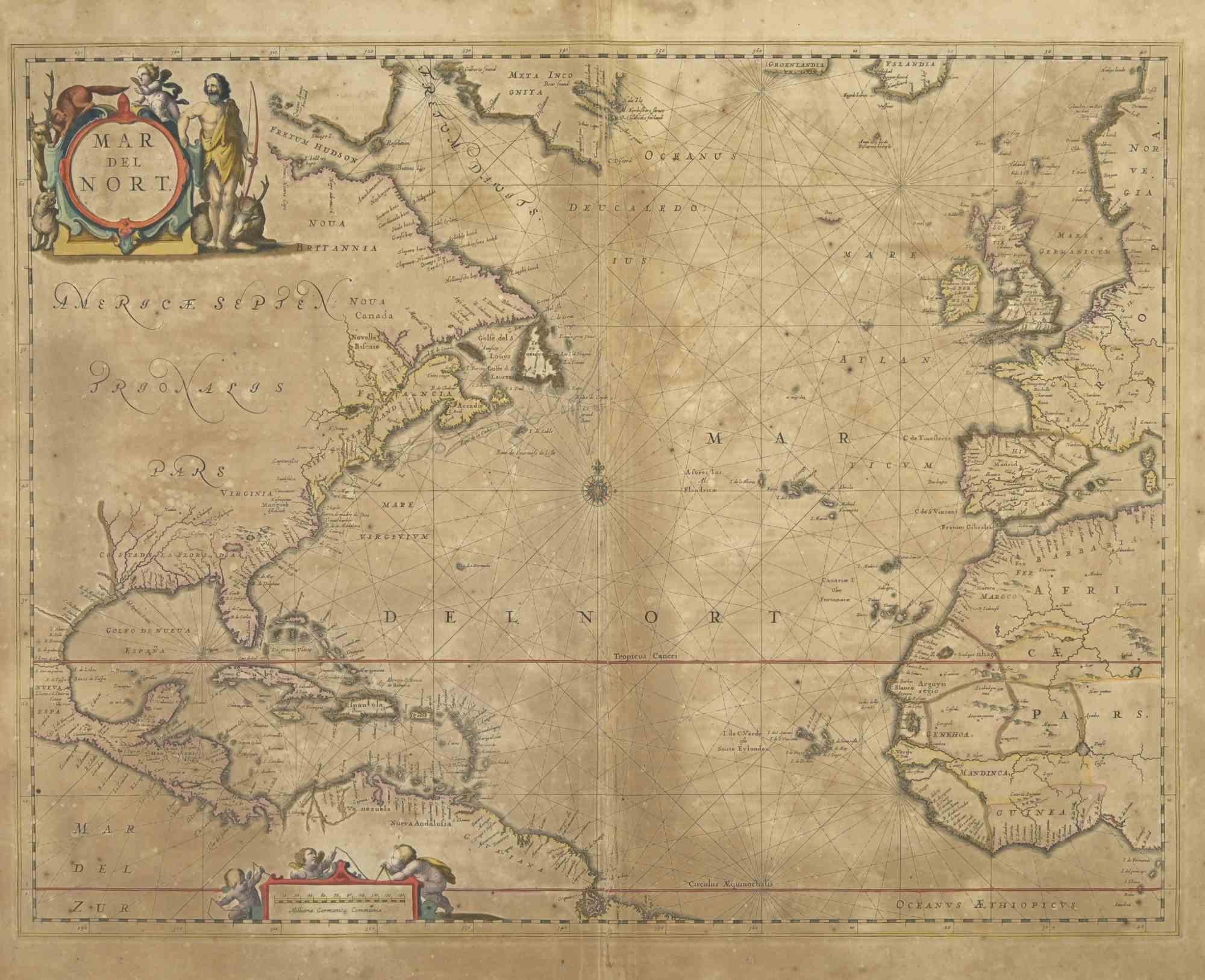
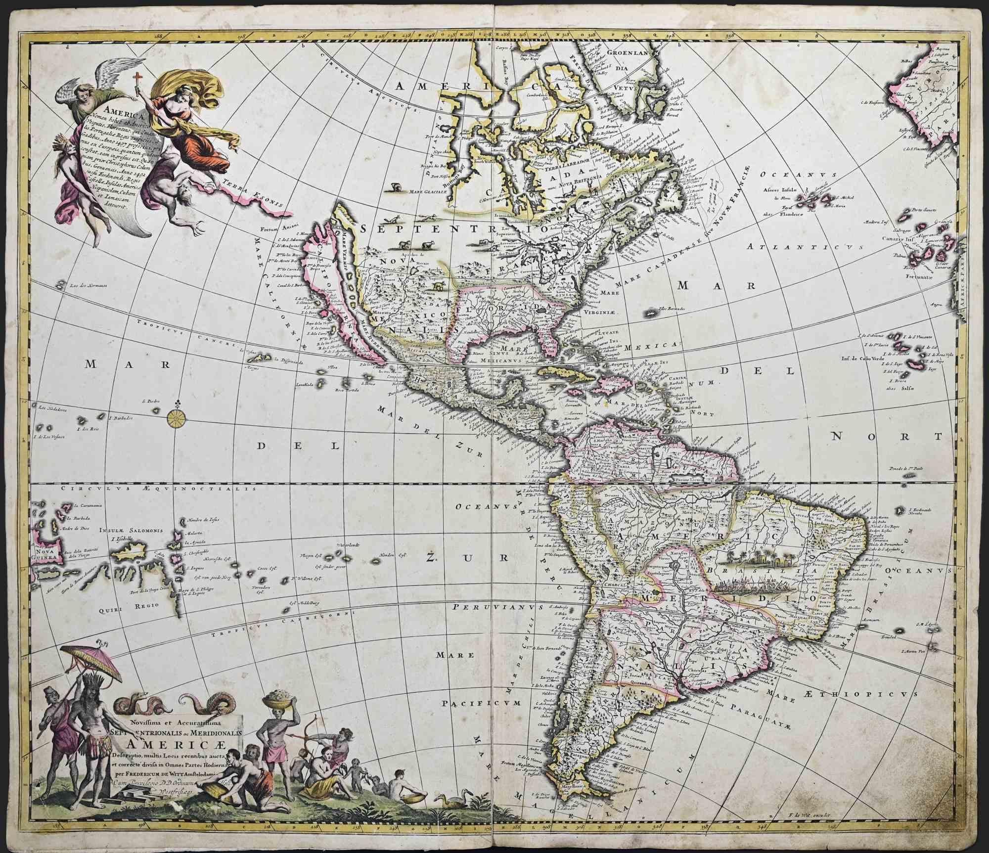
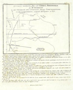
Etching on paper realized, among the others, by Tomàs Gozàlez. From Juan Corradi, Descubrimiento y conquista de la América o Compendio de la historia general del Nuevo Mundo, Madrid, Imprenta Real, 1803 (translated by William Robertson, History of America, Edinburgh,1777). At the bottom margin are the indications of responsibility: Tomás González (principal author), José María Cardano, Felipe Cardano (engravers), Juan Morata y Gangoiti (engraver of the text). Rare map of Mexico, Texas, Alta and Baja California, Rocky Mountains and contiguous regions, published in Spain at the beginning of the 19th century. Fascinating topographical restitution, finely engraved and with good representation of the hydrography of the rivers of the region, although it retains an unnamed lake, Timpanagos and a Rio de Dolores that flow into the San Francisco Bay. The lack of detail in the map is probably a product of the Spanish doctrine of secrecy in the regions then controlled by Spain: it allowed a topographical representation of the region but omitted place names. Three margins as originally, left resected at the framing line. Editorial folds from insertion in volume.
  • Creator:
    Tomàs Gozàlez
  • Creation Year:
    1802
  • Dimensions:
    Height: 20.87 in (53 cm)Width: 14.1 in (35.8 cm)Depth: 0.04 in (1 mm)
  • Medium:
  • Movement & Style:
  • Period:
  • Framing:
    Framing Options Available
  • Condition:
    Insurance may be requested by customers as additional service, contact us for more information.
  • Gallery Location:
    Roma, IT
  • Reference Number:
    Seller: T-1532381stDibs: LU650315863972

More From This Seller

View All
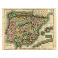
Map of Spain and Portugal - Original Etching - Late 19th Century

Map of Spain and Portugal - Original Etching - Late 19th Century

Located in Roma, IT

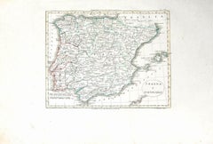
This Map of Spain and Portugal is an etching realized by an anonymous artist. The state of preservation of the artwork is good with some small diffused stains. Sheet dimension: 28...

Category

Late 19th Century Modern Figurative Prints

Materials

Etching

You May Also Like

South America – Original Antique Enlightenment Map by Rigobert Bonne, c.1780

South America – Original Antique Enlightenment Map by Rigobert Bonne, c.1780

Located in Langweer, NL

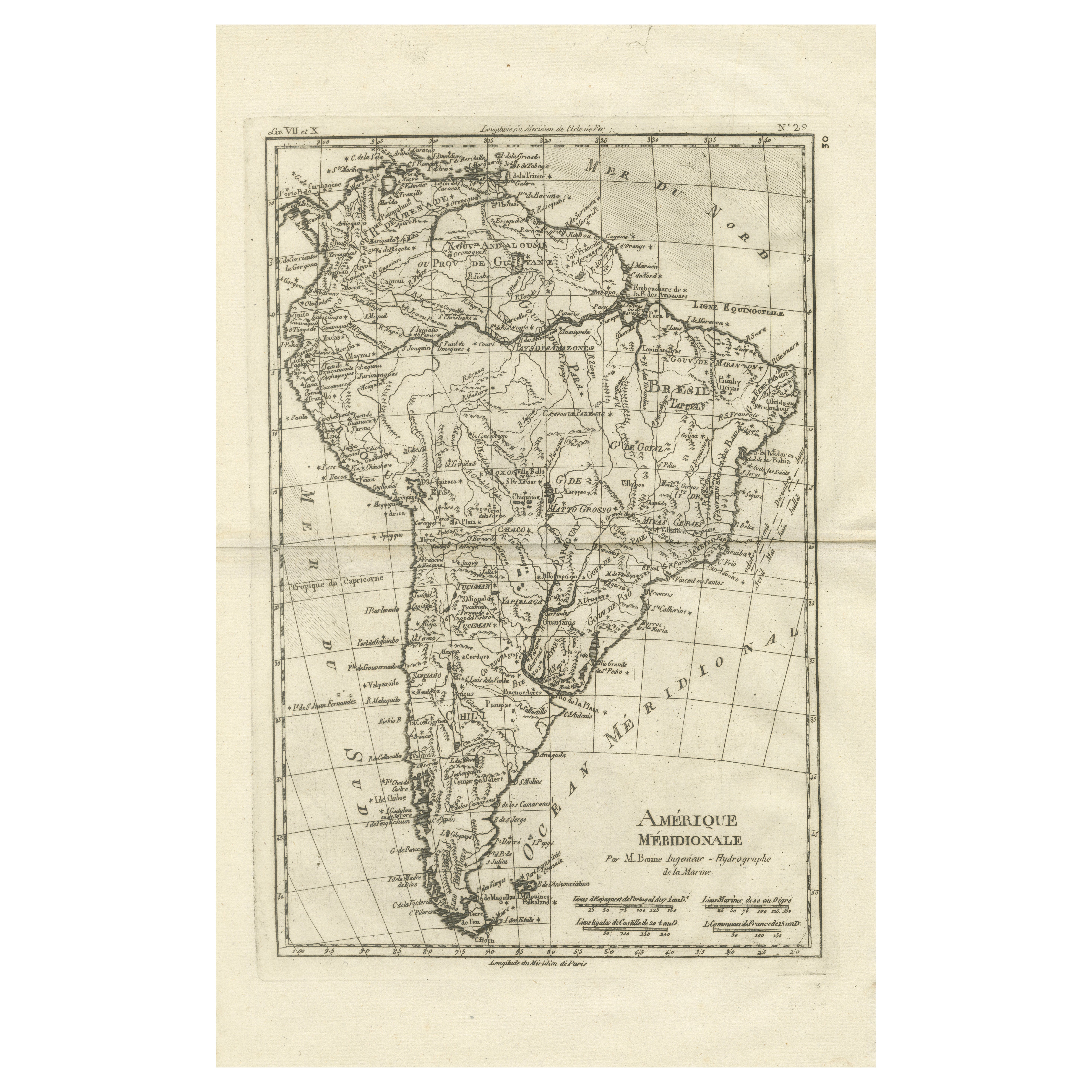
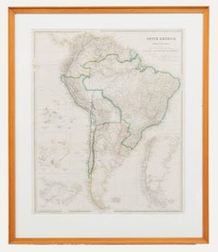
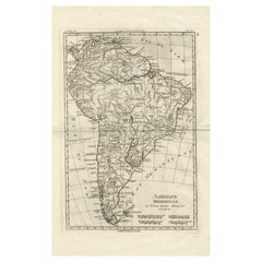
South America – Enlightenment Map by Rigobert Bonne, c.1780 This finely engraved late-18th-century map depicts the entire continent of South America, titled Amérique Méridionale, engraved circa 1780 by Rigobert Bonne, one of the most influential figures of Enlightenment-era French cartography. The map presents a coherent scientific view of South America from the Caribbean coast to Tierra del Fuego, encompassing Brazil, Peru, Chile, the Río de la Plata region, and the interior of the Amazon basin. The map is offered unframed, enabling custom framing to personal or interior preferences. Bonne served as Ingénieur-Hydrographe de la Marine and chief cartographer at the Dépôt de la Marine in Paris, where he succeeded Jacques-Nicolas Bellin. His work marked a decisive transition toward rational, measurement-based cartography, emphasizing clarity, standardized projection, and the careful synthesis of contemporary geographic intelligence. This map belongs to his mature period and exemplifies the restrained elegance and precision that made his work so influential throughout Europe. The geography is rendered with notable clarity. Major river systems such as the Amazon, Orinoco, Paraná, Paraguay, and Uruguay are clearly delineated, structuring the vast interior of the continent. Coastal outlines along both the Atlantic and Pacific are crisply engraved, while colonial cities, Indigenous regions, mountain ranges, and political divisions reflect late-18th-century European understanding of South America’s complex geography. The Equator and Tropic of Capricorn are marked, underscoring the scientific intent of the map. Visually, the map combines density of information with a calm, architectural balance. Its tall vertical format, fine line engraving, and generous margins give it strong decorative appeal when framed. It works equally well as a scholarly centerpiece in a library or study and as a refined statement piece in a contemporary interior. Collectors value Bonne’s South America maps for their intellectual authority, clarity, and understated beauty. Condition report: Good antique condition. Light age toning and minor handling wear consistent with 18th-century copperplate engraving. Original centerfold as issued. Clean impression with strong legibility; margins ample for framing. Framing tips: Best framed in dark walnut or ebonized wood with a generous ivory or warm off-white mat. Museum glass recommended to enhance contrast and protect the engraving. Particularly effective as a tall vertical focal piece. SEO keywords: South America antique map, Amérique Méridionale map, 18th century South America map, Brazil antique map, Amazon River map, Orinoco River map, Rio de la Plata map, Peru antique map, Chile antique...

Category

Antique Late 18th Century French Maps
Materials

Paper

After Johann B. Homann (1664-1724) - 19th C, General Map of Spain and Portugal

After Johann B. Homann (1664-1724) - 19th C, General Map of Spain and Portugal

Located in Corsham, GB

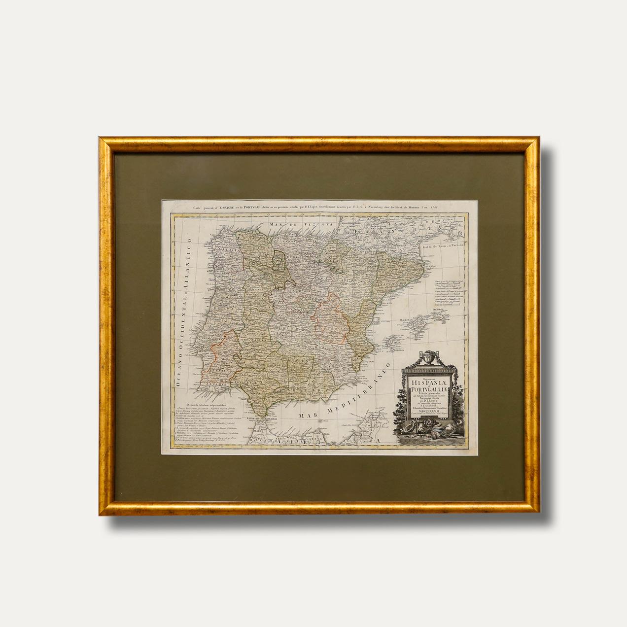
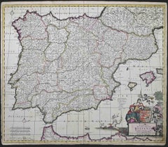
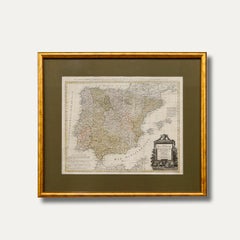
General map of Spain and Portugal divided into its current provinces by D.T. Lopez, newly drawn by F. L. G. in Nuremberg at the Heret of Homann, 1782. A double-page engraved map with...

Category

19th Century More Prints

Materials

Engraving

Antique Map of Spain and Portugal by Thomson, 1815

Antique Map of Spain and Portugal by Thomson, 1815

Located in Langweer, NL

Antique map titled 'Spain & Portugal.' Map of Spain and Portugal. From Thomson's 'New General Atlas', 1815. Artists and Engravers: Made by 'J. & G. Menzies'. Publisher: John Thomson ...

Category

Antique 19th Century Maps

Materials

Paper