Want more images or videos?
Request additional images or videos from the seller
1 of 8

Unknown
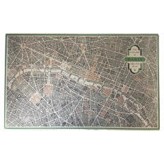
Original Paris “View of the Center Taken from the Air” – 1950 - Linen-backed, A

1950

$949
£709.61
€828.78
CA$1,333.34
A$1,350.42
CHF 775.75
MX$16,375.56
NOK 8,998.57
SEK 9,159.51
DKK 6,196.04

About the Item

This original 1950 Paris aerial map represents a fascinating moment in postwar European tourism promotion. The Vintage Paris Aerial Map 1950 French Tourism Poster is a prime example of how the era’s artistry and creativity supported travel. Published by the French Ministère des Travaux Publics (Ministry of Public Works) and the Commissariat Général au Tourisme, this lithograph captures central Paris from an imagined aerial perspective—a bird’s-eye view that guides travelers through the city’s architectural heartland. The design is masterfully simple. The map layer shows Paris street by street in warm gray tones, with major buildings and monuments highlighted in bold red. The Eiffel Tower anchors the composition on the left; the Seine winds across the image like a navigational thread. This is functional tourism promotion at its best—practical information wrapped in appealing visual design. The mid-century cartographic style speaks to how travelers actually discovered cities in 1950. This map hung in hotel lobbies, train stations, and travel agencies across France, introducing visitors to Paris neighborhoods, cultural attractions, and transportation routes. It’s both a historical artifact and a beautiful piece of graphic design. Blondel la Rougery, the copyright holder, was a respected Parisian publisher known for quality cartographic and artistic reproductions. The government endorsement added authority—this wasn’t commercial speculation, but official tourism information designed by professionals who understood how to balance accuracy with visual appeal. This 1950 edition is particularly scarce. User notes that later reprints of this composition exist, but most are not in good condition. Finding the original 1950 printing in excellent state—unmarked, unfaded, archival linen-backed—is genuinely rare. This map has survived 75 years in museum-quality condition. The original untrimmed size of 28″ × 44″ presents the full artistic intention, including the decorative border. This is the complete vision as published, ready to be framed and displayed as significant vintage cartography. As a genuine government tourism poster, this work appeals to collectors of vintage travel marketing, European cartography, Paris history, mid-century design, and Francophile enthusiasts. It’s both a travel agent’s practical tool and a beautiful artifact of 1950s cultural memory. Authenticity: Guaranteed original 1950 lithograph, published by the French Ministère des Travaux Publics, des Transports et du Tourisme (not a modern reproduction or facsimile). Earlier edition; superior condition compared to later reprints.
  • Creation Year:
    1950
  • Dimensions:
    Height: 28 in (71.12 cm)Width: 41 in (104.14 cm)Depth: 0.3 in (7.62 mm)
  • Medium:
  • Movement & Style:
  • Period:
  • Condition:
    Archival linen-backed. Grade A Certificate of Authenticity Early 1950 printing in excellent condition, ready to frame. We feature our finest posters for you here on 1st Dibs The images show the exact poster you will receive.
  • Gallery Location:
    Spokane, WA
  • Reference Number:
    Seller: 260301stDibs: LU1404218044062

More From This Seller

View All
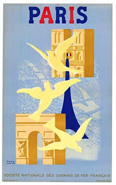
Original 1945 Paris (France) vintage travel poster  travel by train

Original 1945 Paris (France) vintage travel poster travel by train

By Paul Colin

Located in Spokane, WA

Original PARIS linen-backed 1946 vintage travel poster, preservation linen-backed and ready to frame. Very good condition, Grade A- Original 1946 Paul Colin Paris Vintage Poster ...

Category

1940s American Modern Landscape Prints

Materials

Lithograph
You May Also Like

Vintage "View of the Center of Paris Taken from the Air" Lithograph Map

Vintage "View of the Center of Paris Taken from the Air" Lithograph Map

Located in San Diego, CA

A very stylish "View of the Center of Paris Taken from the Air" lithograph map published by the Paris Ministry of Tourism, circa early 1950s. The piece measures 27" x 43" and shows...

Category

20th Century French Mid-Century Modern Prints

Materials

Paper

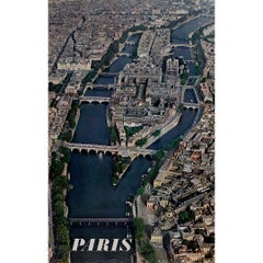
Original 1965 travel poster by Alain Perceval - aerial view of Paris

Original 1965 travel poster by Alain Perceval - aerial view of Paris

By Alain Perceval

Located in PARIS, FR

This original 1965 travel poster by Alain Perceval presents a breathtaking aerial view of Paris, focusing on its historic heart: L'Île de la Cité and L'Île Saint-Louis. The Seine Riv...

Category

1960s Prints and Multiples

Materials

Paper, Lithograph

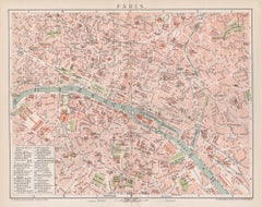
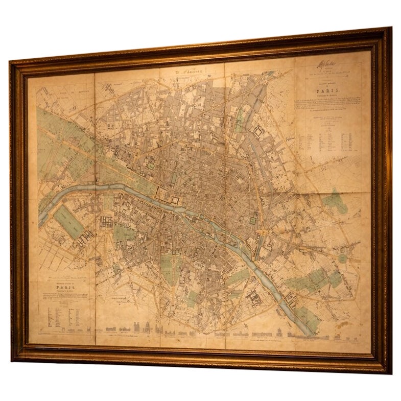
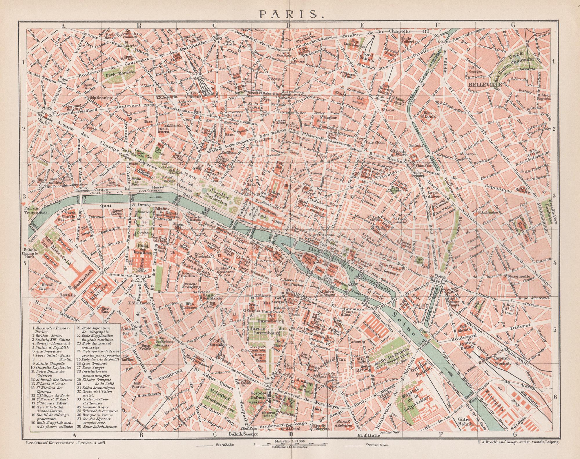
Paris, France. Antique Map City Plan Chromolithograph, circa 1895

Paris, France. Antique Map City Plan Chromolithograph, circa 1895

Located in Melbourne, Victoria

'Paris' Colour lithograph. 1895. 250mm by 305mm (sheet). Late 19th century German lithograph plan of Paris, France. Central vertical fold. Printed street index on the reverse o...

Category

Late 19th Century Victorian More Prints

Materials

Lithograph
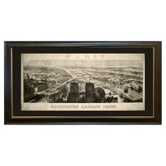
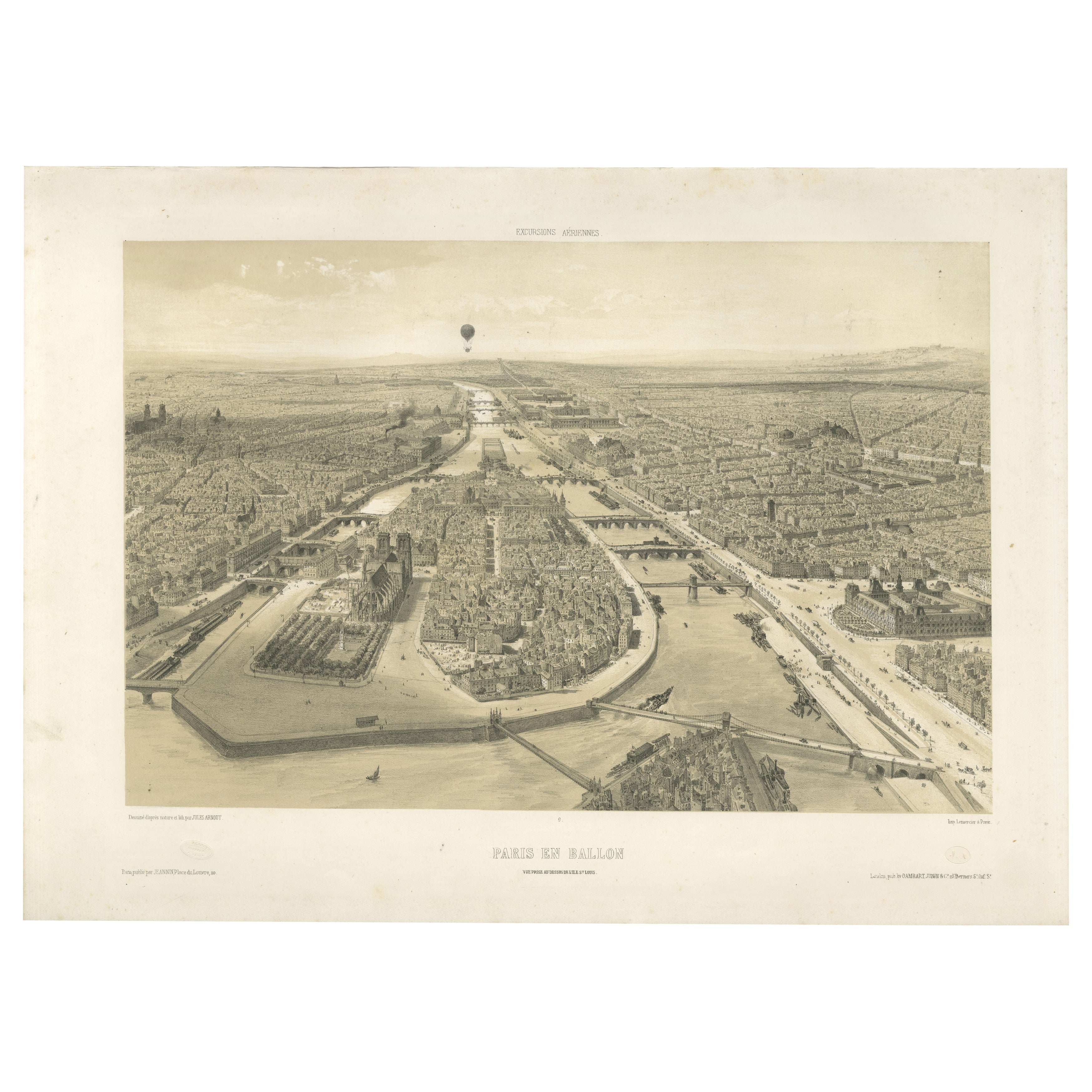
1848 "Paris" Bird's Eye View, Published by the Illustrated London News

1848 "Paris" Bird's Eye View, Published by the Illustrated London News

Located in Colorado Springs, CO

This 1848 panoramic bird's eye view of Paris was issued by the Illustrated London News as an insert in its publication. The view was issued by the newspaper as part of a larger serie...

Category

Antique 1840s English Louis Philippe Prints

Materials

Paper

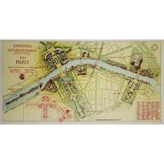
1937 original poster illustrated map of the Exposition Internationale

1937 original poster illustrated map of the Exposition Internationale

Located in PARIS, FR

This 1937 original poster presents a detailed illustrated map of the Exposition Internationale des Arts et Techniques dans la Vie Moderne, held in Paris. The International Exposition...

Category

1930s Prints and Multiples

Materials

Paper, Lithograph, Linen