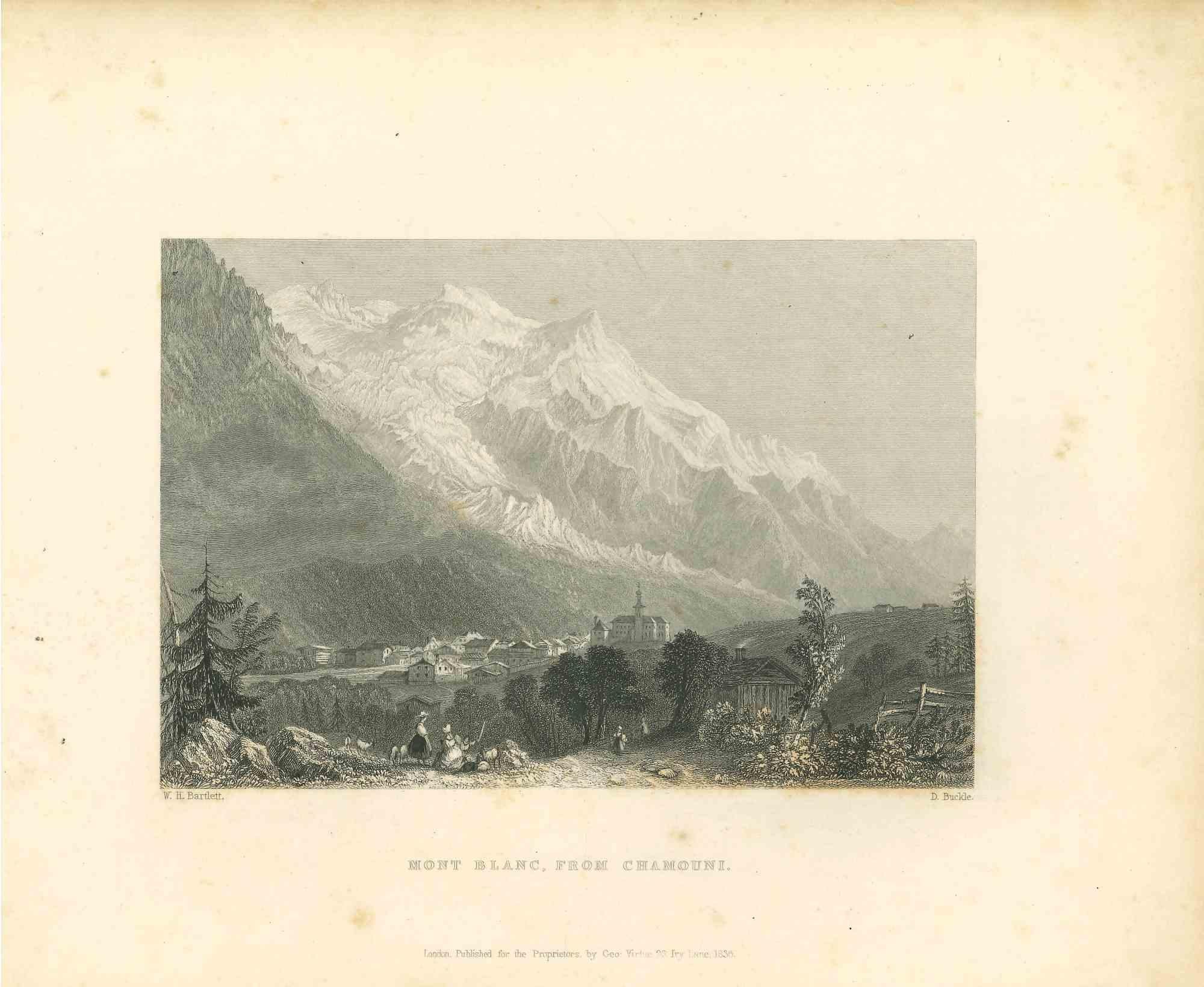
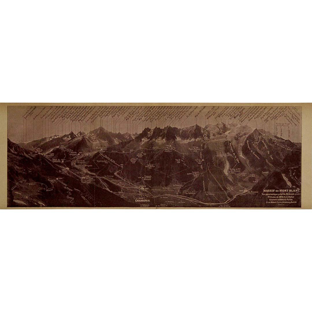
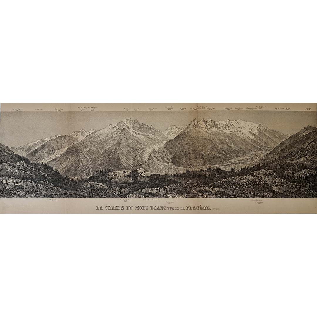
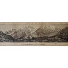
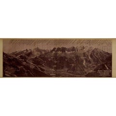
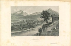
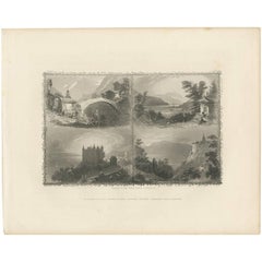
This rare circa 1910 illustrated document by Maurice Paillon presents a detailed panoramic view of the Mont Blanc Massif, one of the most legendary and awe-inspiring mountain ranges in the world. Capturing the majesty of Western Europe’s highest peak (4,809m) and its surrounding summits, glaciers, and valleys, this historical document serves as both an artistic masterpiece and a valuable mountaineering reference.
At the time of its creation, alpinism was flourishing, with climbers from across Europe eager to conquer Mont Blanc and its neighboring peaks. The illustration, likely derived from photographic and topographic studies, offers a remarkably accurate relief representation of the range. Every major peak, ridge, and glacier is meticulously labeled, providing an invaluable geographical guide to the region.
The sepia-toned print evokes the early 20th-century aesthetic, blending scientific precision with artistic craftsmanship. The inclusion of key locations such as Chamonix, Aiguille du Midi, Dôme du Goûter, and the Vallée...
Category
1910s Prints and Multiples
MaterialsLinen, Paper, Lithograph