Want more images or videos?
Request additional images or videos from the seller
1 of 10

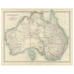
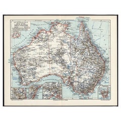
1909 Antique Map of Australia by W. & A.K. Johnston with Inset Maps

$336.89
£249.23
€284.36VAT Included
CA$466.27
A$467.90
CHF 272.89
MX$5,689.12
NOK 3,135.74
SEK 3,224.94
DKK 2,168.26

About the Item

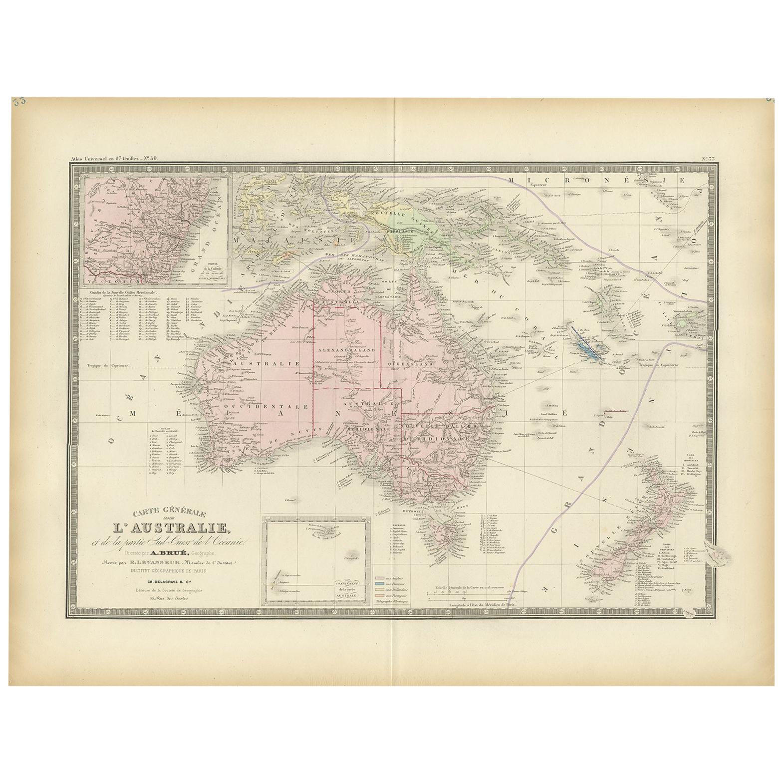
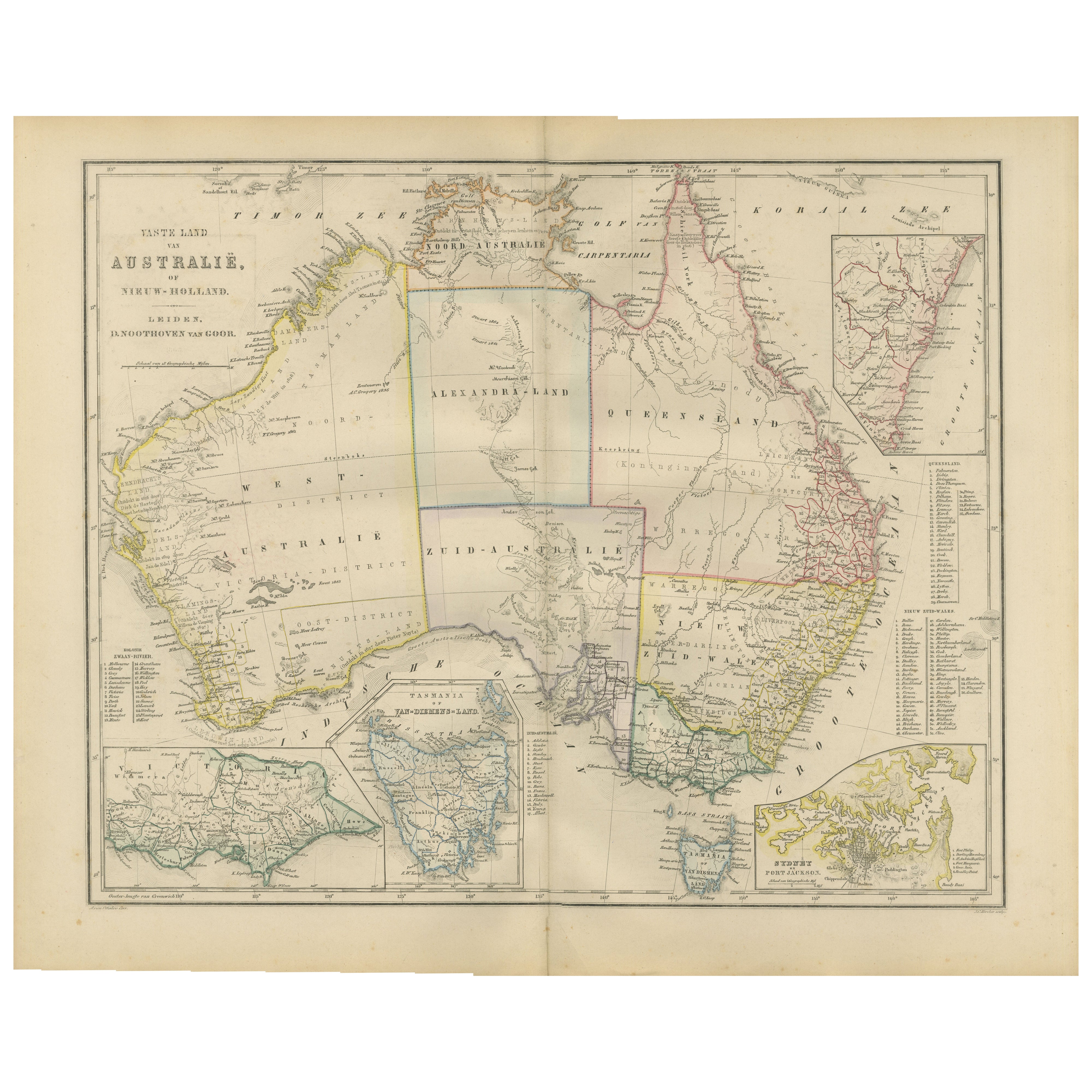
Antique map titled 'Australia'. Original antique map of Australia. With inset maps of Melbourne, Port Phillip, Adelaide, Perth, Sydney, Brisbane, Port Jackson and Hobart . This map originates from the ‘Royal Atlas of Modern Geography’. Published by W. & A.K. Johnston, 1909.
  • Dimensions:
    Height: 19.49 in (49.5 cm)Width: 24.41 in (62 cm)Depth: 0.02 in (0.5 mm)
  • Materials and Techniques:
  • Place of Origin:
  • Period:
  • Date of Manufacture:
    1909
  • Condition:
    General age-related toning, some foxing. Please study image carefully.
  • Seller Location:
    Langweer, NL
  • Reference Number:
    Seller: BG-12940-371stDibs: LU3054324699012

More From This Seller

View All
Antique Map of Australia, 1903, with Colonial Divisions and Detailed Topography

Antique Map of Australia, 1903, with Colonial Divisions and Detailed Topography

Located in Langweer, NL

Title: Antique Map of Australia, 1903, with Colonial Divisions and Detailed Topography Description: This antique map, titled "Australia," was engraved and published in 1903 by W. & ...

Category

Early 20th Century Maps

Materials

Paper
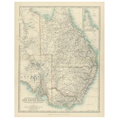
Antique Map of South Australia, New South Wales, Victoria and Queensland, 1903

Antique Map of South Australia, New South Wales, Victoria and Queensland, 1903

Located in Langweer, NL

Title: Antique Map of South Australia, New South Wales, Victoria, and Queensland, 1903 Description: This antique map, titled "South Australia, New South Wales, Victoria, and Queensl...

Category

Early 20th Century Maps

Materials

Paper
German Antique Map of Australia, Meyers, 1885

German Antique Map of Australia, Meyers, 1885

Located in Langweer, NL

Australien.' (Map of Australia. With inset maps of the large cities and Tasmania.) This attractive original old antique print / plate / map originate...

Category

Antique 19th Century Maps

Materials

Paper

Antique Map of New South Wales by Johnston, '1909'

Antique Map of New South Wales by Johnston, '1909'

Located in Langweer, NL

Antique map titled 'South Australia, New South Wales, Victoria and Queensland'. Original antique map of New South Wales. With inset map of Cape York Pe...

Category

Early 20th Century Maps

Materials

Paper
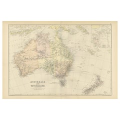
1882 Map of Australia and New Zealand with Regional and Geographical Features

1882 Map of Australia and New Zealand with Regional and Geographical Features

Located in Langweer, NL

This 1882 map of Australia and New Zealand, published by Blackie and Son as part of the 'Comprehensive Atlas and Geography of the World,' provides a detailed and insightful look at t...

Category

Antique 1880s Maps

Materials

Paper

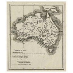
Old Map of Australia Showing The Routes of the Main Explorers, ca.1900

Old Map of Australia Showing The Routes of the Main Explorers, ca.1900

Located in Langweer, NL

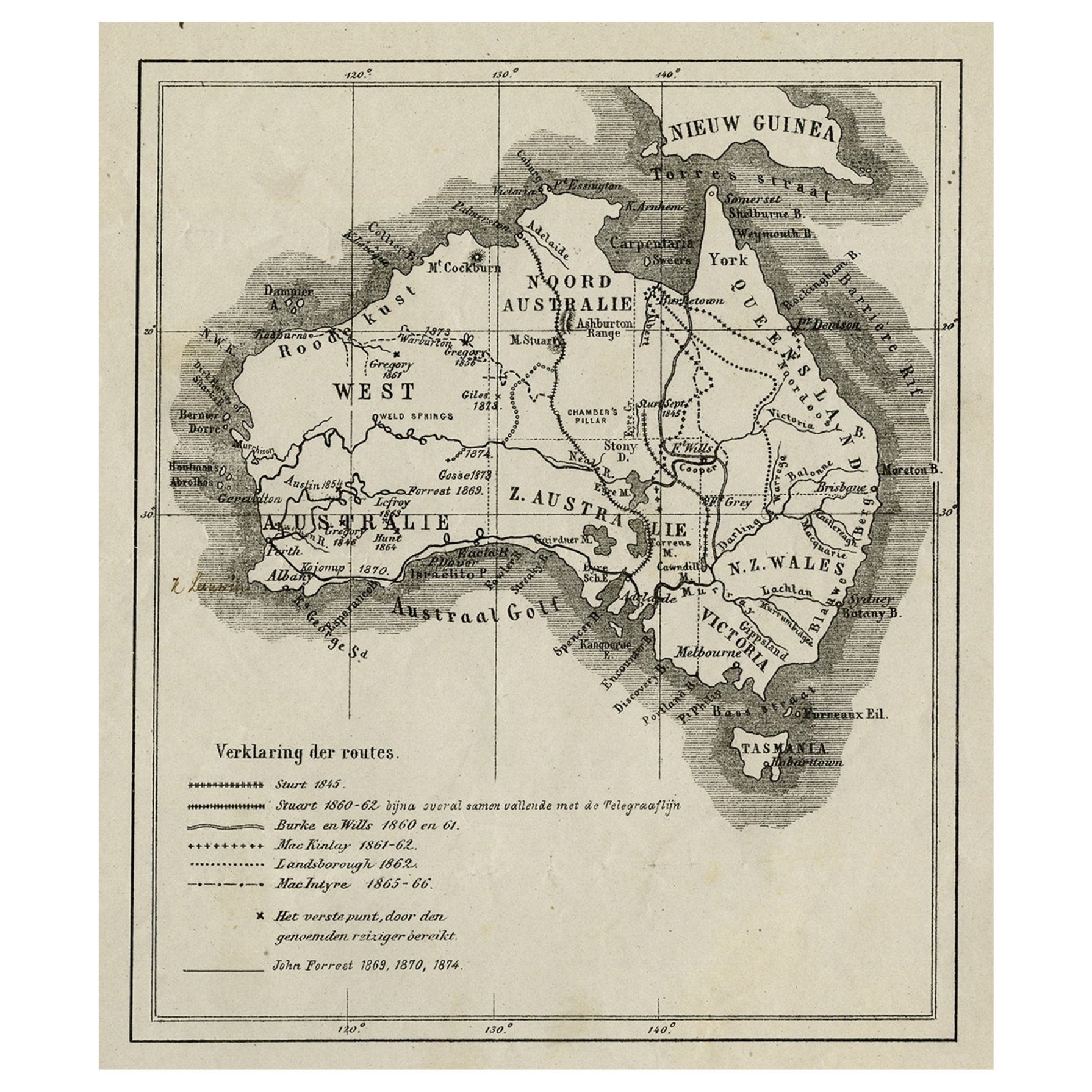
Antique print, untitled. This map shows Australia with the routes of explorers in the continent and marking the furthest point reached.. Source unknown, to be determined. Artists ...

Category

Antique Early 1900s Maps

Materials

Paper

You May Also Like

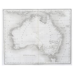
Original Antique Map of Australia by Dower, circa 1835

Original Antique Map of Australia by Dower, circa 1835

Located in St Annes, Lancashire

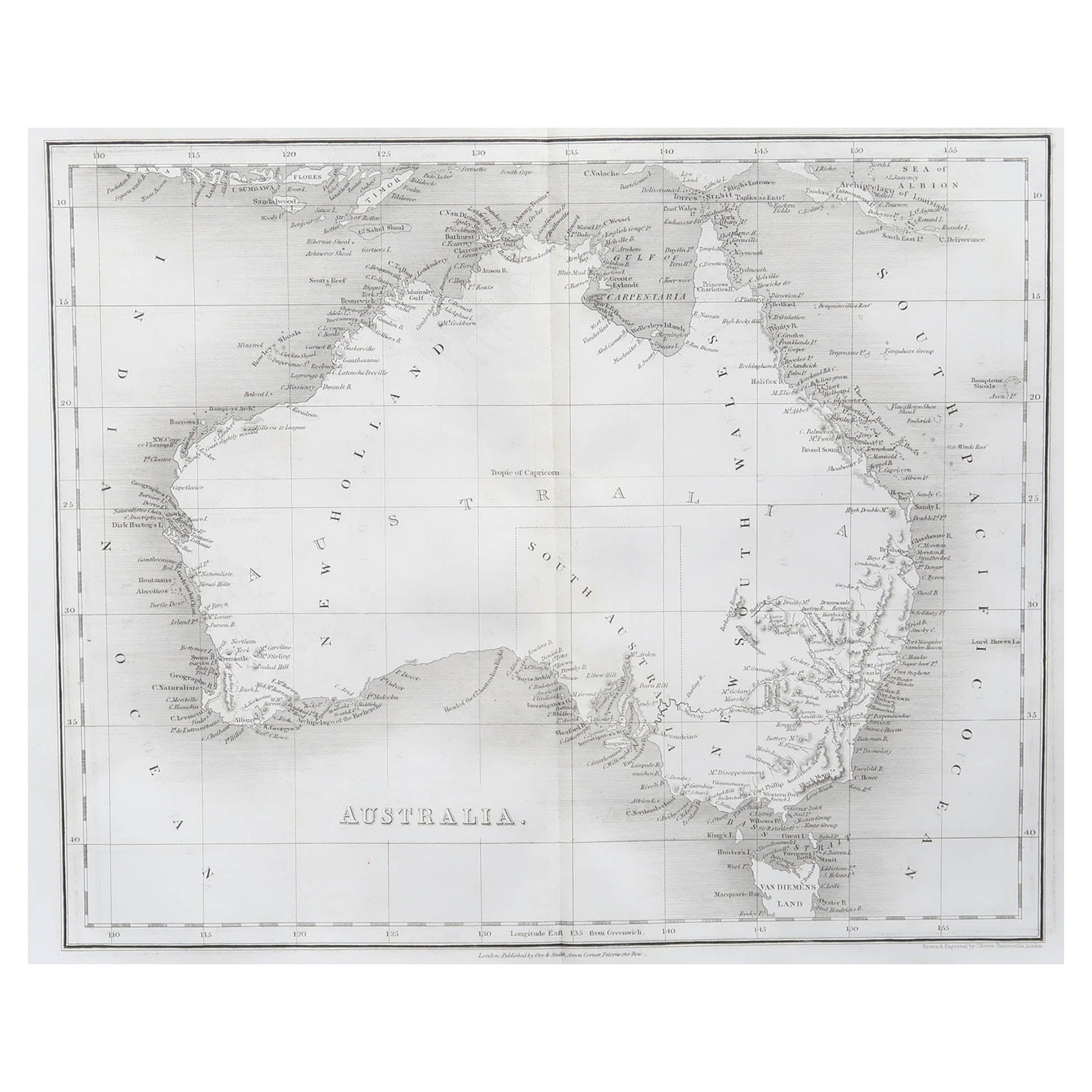
Nice map of Australia Drawn and engraved by J.Dower Published by Orr & Smith. C.1835 Unframed. Free shipping

Category

Antique 1830s English Maps

Materials

Paper

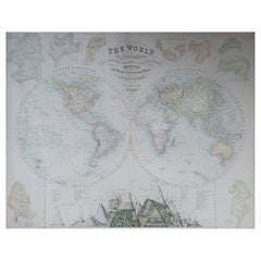
Large Original Antique Map of The World, Fullarton, C.1870

Large Original Antique Map of The World, Fullarton, C.1870

Located in St Annes, Lancashire

Great map of the World. Showing both hemispheres From the celebrated Royal Illustrated Atlas Lithograph. Original color. Published by Fullarton, Edinburgh, C.1870 Unframed. Rep...

Category

Antique 1870s Scottish Maps

Materials

Paper

Large Original Antique Map of Africa. C.1900

Large Original Antique Map of Africa. C.1900

Located in St Annes, Lancashire

Fabulous map of Africa Original color. Engraved and printed by the George F. Cram Company, Indianapolis. Published, C.1900. Unframed. Free shipping.

Category

Antique 1890s American Maps

Materials

Paper

Vintage Western Australia Map, Framed Print, Swan River, John Tallis Cartography

Vintage Western Australia Map, Framed Print, Swan River, John Tallis Cartography

Located in Hele, Devon, GB

This is a vintage Western Australia map. A late 20th century reproduction of John Tallis’ original 1850 steel engravings, dating to the late 20th century, circa 1990. Fascinating re...

Category

1990s Australian Victorian Maps

Materials

Glass, Paper