British Maps

699 Results
to
133
678
19
697
2
59
46
10
4
4
2
1
140
433
124
2
99
3
10
46
24
1
1
9
662
61
60
8
6
2,057
333
265
236
699
699
699
10
4
4
3
2
Place of Origin: British
Original Antique Map of Europe, Arrowsmith, 1820

Original Antique Map of Europe, Arrowsmith, 1820

Located in St Annes, Lancashire

Great map of Europe Drawn under the direction of Arrowsmith. Copper-plate engraving. Published by Longman, Hurst, Rees, Orme and Brown, 1820 ...

Category

1820s Antique British Maps

Materials

Paper

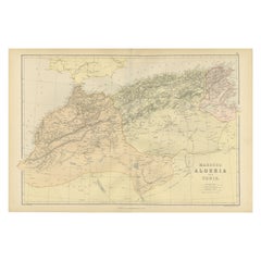
Morocco, Algeria and Tunis, Antique Map of North Africa, Blackie, 1882

Morocco, Algeria and Tunis, Antique Map of North Africa, Blackie, 1882

Located in Langweer, NL

The maps is from the 1882 atlas by Blackie & Son and offers a detailed view of the North African regions as understood in the late 19th century. Map of Morocco, Algeria, and Tunis...

Category

1880s Antique British Maps

Materials

Paper

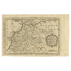
Antique Map of the Empire of Morocco by Kitchin, c.1760

Antique Map of the Empire of Morocco by Kitchin, c.1760

By Thomas Kitchin

Located in Langweer, NL

Antique map titled 'A Map of the Empire of Morocco Comprehending the Kingdoms of Fez, Morocco'. Original antique map of the kingdoms of Fez, Algiers, Segelmese, Tafilet and Morocco. ...

Category

18th Century Antique British Maps

Materials

Paper

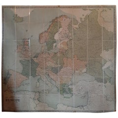
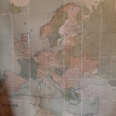
Large Wall Map of Europe by George Philip & Son, circa 1920

Large Wall Map of Europe by George Philip & Son, circa 1920

Located in Langweer, NL

Antique map titled 'Philips' New Commercial Map of Europe'. Very large wall map of Europe including the North African coast and Turkey. Decorative bord...

Category

Early 20th Century British Maps

Materials

Linen, Paper

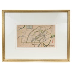
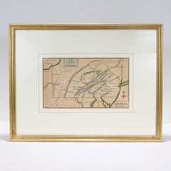
Antique 18th Century Map of the Province of Pensilvania 'Pennsylvania State'

Antique 18th Century Map of the Province of Pensilvania 'Pennsylvania State'

Located in Philadelphia, PA

A fine antique of the colony of Pennsylvania. Noted at the top of the sheet as a 'Map of the province of Pensilvania'. This undated and anonymous map is thought to be from the Gentleman's Magazine, London, circa 1775, although the general appearance could date it to the 1760's. The southern boundary reflects the Mason-Dixon survey (1768), the western boundary is placed just west of Pittsburgh, and the northern boundary is not marked. The map has a number of reference points that likely refer to companion text and appear to be connected to boundaries. The western and southern boundaries are marked Q, R, S, for example. A diagonal line runs from the Susquehanna R to the Lake Erie P. A broken line marked by many letters A, B, N, O, etc., appears in the east. There are no latitude or longitude markings, blank verso. Framed in a shaped contemporary gilt wooden frame and matted under a cream colored matte. Bearing an old Graham Arader Gallery...

Category

18th Century American Colonial Antique British Maps

Materials

Paper

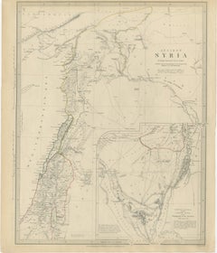
Ancient Syria Map Including Palestine, Jerusalem & Mount Sinai, 1843

Ancient Syria Map Including Palestine, Jerusalem & Mount Sinai, 1843

Located in Langweer, NL

Ancient Syria Map Including Palestine, Jerusalem & Mount Sinai, 1843 A highly detailed and historically evocative antique map titled “Ancient Syria,” published in London in 1843 und...

Category

Early 20th Century British Maps

Materials

Paper

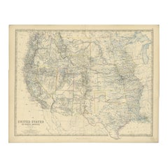
1874 Map of Western United States – Detailed Atlas by Keith Johnston

1874 Map of Western United States – Detailed Atlas by Keith Johnston

Located in Langweer, NL

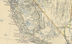
1874 Map of Western United States by Keith Johnston – Detailed Atlas This is an original antique map titled “United States of North America (Western States)” by Alexander Keith John...

Category

1870s Antique British Maps

Materials

Paper

Arabia, Antique Map of the Arabian Peninsula, Blackie Atlas 1860

Arabia, Antique Map of the Arabian Peninsula, Blackie Atlas 1860

Located in Langweer, NL

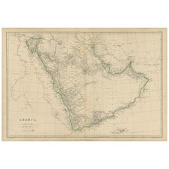
Arabia, Antique Map of the Arabian Peninsula, Blackie Atlas 1860 Description: This original antique map titled Arabia presents a detailed mid-19th-century cartographic view of the A...

Category

Mid-19th Century Antique British Maps

Materials

Paper

Antique Trojan War Map – Bellum Trojanum Mediterranean, Wilkinson 1815

Antique Trojan War Map – Bellum Trojanum Mediterranean, Wilkinson 1815

Located in Langweer, NL

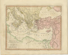
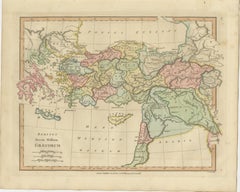
Title: Antique Trojan War Map – Bellum Trojanum Mediterranean, Wilkinson 1815 This finely engraved and delicately hand-colored antique map titled Bellum Trojanum (The Trojan War) presents the eastern Mediterranean world as understood through the legendary narratives of Homer’s Iliad and Odyssey. Published in London in 1815 by the respected British cartographer and publisher Robert Wilkinson, the map formed part of his scholarly Atlas Classica, an atlas created to illustrate the lands and geography described by ancient Greek and Roman authors. Wilkinson’s Atlas Classica was produced during a period of intense European fascination with classical antiquity. Educators, historians, and scholars sought visual tools to accompany the study of Homer, Virgil, Herodotus, and other ancient writers. This map reflects that intellectual movement by reconstructing the geography of the Mediterranean as it related to the events of the Trojan War and the legendary journeys of the heroes who emerged from it. The map spans the eastern Mediterranean basin, extending from southern Italy and Sicily in the west across Greece, the Aegean Sea, and Asia Minor to the Levant and Syria in the east. The Black Sea (Pontus Euxinus) appears in the northeast, while North Africa and the coast of Libya are visible to the south. Classical place names appear throughout the map, including Italia, Sicilia, Graecia, Macedonia, Thracia, Asia Minor, Phrygia, Lydia, and Syria. The famous site of Troy is shown on the northwestern coast of Asia Minor near the Dardanelles. A particularly fascinating feature of the map is the network of curved routes drawn across the Mediterranean Sea. These lines trace the legendary voyages of figures associated with the Trojan War cycle. Among them are the journeys of Aeneas following the fall of Troy, the travels of Telemachus searching for his father, and the long wanderings of Odysseus (Ulysses) as described in the Odyssey. These routes connect famous locations such as Troy, Crete, Sicily, Carthage, and the shores of Greece and Italy, transforming the map into a visual narrative of classical mythology. The engraving is precise and elegant, typical of late eighteenth-century British cartography. The map was engraved by E. Bourne, whose fine line work and careful lettering give the sheet a refined and scholarly appearance. Subtle contemporary hand coloring highlights the ancient regions and coastlines, adding visual clarity and decorative charm. Today the map appeals not only to collectors of antique cartography but also to those interested in classical literature, mythology, and the history of ancient Mediterranean civilizations. It provides a striking visual interpretation of the epic journeys that have shaped Western storytelling for more than two millennia. This example is an original antique map printed in 1798 and hand-colored at the time of publication. It is not a modern reproduction. Any presentation images showing the map framed are for visual inspiration only. The map is supplied unframed. Condition: Good antique condition with attractive original hand coloring. Light age toning and minor handling marks consistent with age. The sheet retains generous margins suitable for framing. Framing tips: This map frames beautifully in a dark walnut or ebonized wood frame with a generous ivory or museum-white mat. A double mat with a subtle gold inner fillet complements the warm tones of the antique paper and highlights the elegant engraving. Such a presentation works particularly well in a study, library, or classical interior setting. Keyword block: Bellum Trojanum, Trojan War map, Homer Iliad map, Odyssey map, ancient Greece map, ancient Mediterranean map, Troy map, Aeneas voyage, Odysseus voyage, Ulysses route, Telemachus journey, Atlas Classica map, Robert Wilkinson map, London 1798 map, Pontus Euxinus, Black Sea map, Aegean Sea map, Mediterranean Sea map, Sicilia, Italia, Graecia, Macedonia, Thracia, Asia Minor, Phrygia, Lydia, Syria, Crete, Carthage, Libya, ancient mythology map, classical geography map, Homeric geography, antique Mediterranean map...

Category

Early 19th Century Antique British Maps

Materials

Paper

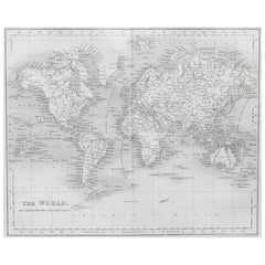
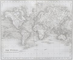
Original Antique Map of The World by Dower, circa 1835

Original Antique Map of The World by Dower, circa 1835

Located in St Annes, Lancashire

Nice map of the World Drawn and engraved by J.Dower Published by Orr & Smith. C.1835 Unframed. Free shipping

Category

1830s Antique British Maps

Materials

Paper

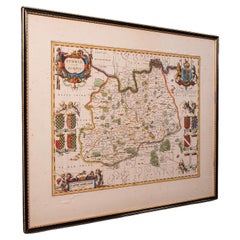
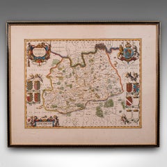
Antique Map of Surrey, English, Framed County Cartography, After Blaeu, C.1690

Antique Map of Surrey, English, Framed County Cartography, After Blaeu, C.1690

Located in Hele, Devon, GB

This is an antique map of Surrey. An English, framed cartography engraving by Willem Janszoon Blaeu, this centre fold edition dating to the William & Mary period, circa 1690. A fine...

Category

1690s William and Mary Antique British Maps

Materials

Glass, Paper

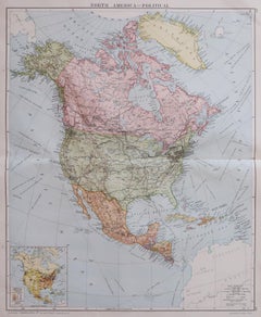
Large Original Vintage Map of North America, circa 1920

Large Original Vintage Map of North America, circa 1920

Located in St Annes, Lancashire

Great map of North America Original color. Good condition Published by Alexander Gross Unframed.  

Category

1920s Edwardian Vintage British Maps

Materials

Paper

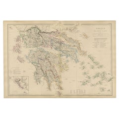
Greece & Ionian Islands Map, Antique Hand-Colored Map, 1860

Greece & Ionian Islands Map, Antique Hand-Colored Map, 1860

Located in Langweer, NL

Greece & Ionian Islands Map, Antique Hand-Colored Map, 1860 This elegant antique map depicts Greece together with the Ionian Islands, presenting the country’s political and geograph...

Category

Mid-19th Century Antique British Maps

Materials

Paper

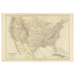
Antique Map of The United States of North America, 1882

Antique Map of The United States of North America, 1882

Located in Langweer, NL

This is a historical map titled "The United States of North America, Central Part" from the 1882 Blackie Atlas. It depicts the continental United States with a high level of detail, ...

Category

1880s Antique British Maps

Materials

Paper

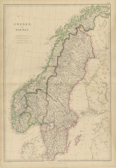
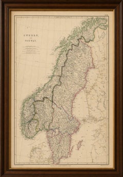
Antique Map of Sweden and Norway, Original Hand-Colored Copper Engraving, 1860

Antique Map of Sweden and Norway, Original Hand-Colored Copper Engraving, 1860

Located in Langweer, NL

Antique Map of Sweden and Norway, Original Hand-Colored Copper Engraving, 1860 This finely engraved map of Sweden and Norway was published by W. G. Blackie in Scotland around 1860 a...

Category

Mid-19th Century Antique British Maps

Materials

Paper

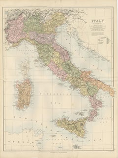
Antique Map Italy, Bartholomew for Black’s General Atlas, Edinburgh 1884

Antique Map Italy, Bartholomew for Black’s General Atlas, Edinburgh 1884

Located in Langweer, NL

Antique Map Italy, Bartholomew for Black’s General Atlas, Edinburgh 1884 Description: This detailed map of Italy was published in the New and Revised Edition of Black’s General Atlas of the World, issued in Edinburgh in 1884 by the respected Scottish publishing house A. & C. Black. The map was prepared under the direction of the renowned cartographer John Bartholomew, whose work played a major role in shaping nineteenth-century atlas cartography. John Bartholomew was one of the most influential mapmakers of the Victorian era. His atlases for A. & C. Black were admired for their clarity, precision, and elegant presentation. Combining scientific geographic accuracy with refined engraving and printed color, Bartholomew’s maps became widely used in education, government, and scholarly circles throughout Europe and the British Empire. The map presents the Italian peninsula shortly after the unification of Italy in the nineteenth century. Political divisions are clearly distinguished through printed color, showing the administrative regions of the newly unified kingdom. The map extends from the Alpine frontier in the north to the southern tip of Calabria, capturing the entire peninsula with remarkable geographic detail. Northern Italy shows the Alpine region bordering Switzerland and Austria, with cities such as Turin, Milan, and Venice prominently marked. The Po River basin is depicted with a dense network of towns and transportation routes reflecting the economic importance of the region. Central Italy includes Florence, Pisa, and Rome, while the southern regions show Naples and the mountainous landscapes of Calabria and Basilicata. The map also includes the major Italian islands. Sardinia...

Category

Late 19th Century Antique British Maps

Materials

Paper

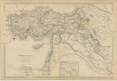
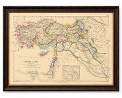
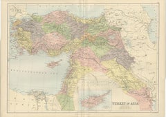
Original Antique Map of Turkey in Asia, Ottoman Empire & Middle East c.1860

Original Antique Map of Turkey in Asia, Ottoman Empire & Middle East c.1860

Located in Langweer, NL

Original Antique Map of Turkey in Asia, Ottoman Empire & Middle East c.1860 This impressive original antique map depicts the vast territories historically known as "Turkey in Asia,"...

Category

Mid-19th Century Antique British Maps

Materials

Paper

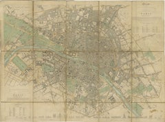
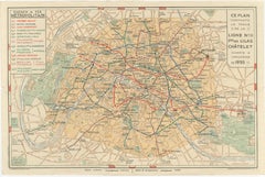
Vintage Paris Metro Map, Ligne 11 Opening, Art Deco Transit Plan, 1935

Vintage Paris Metro Map, Ligne 11 Opening, Art Deco Transit Plan, 1935

Located in Langweer, NL

Vintage Paris Metro Map, Ligne 11 Opening, Art Deco Transit Plan 1935 A striking and highly decorative original 1930s map of the Paris Métropolitain, issued during a key moment in t...

Category

Early 20th Century British Maps

Materials

Paper

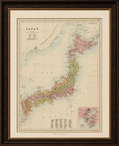
Antique Map of Japan with Tokyo Inset, Black’s General Atlas, 1885

Antique Map of Japan with Tokyo Inset, Black’s General Atlas, 1885

Located in Langweer, NL

Antique Map of Japan with Tokyo Inset, Black’s General Atlas, 1885 A finely engraved and delicately hand-colored antique map of Japan, published by the respected Scottish cartograph...

Category

Late 19th Century Antique British Maps

Materials

Paper

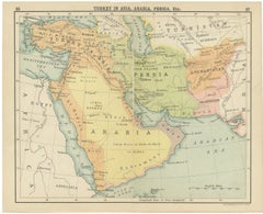
Antique Map of Turkey in Asia, Arabia, Persia, ca.1890

Antique Map of Turkey in Asia, Arabia, Persia, ca.1890

Located in Langweer, NL

Antique Map of Turkey in Asia, Arabia, Persia, ca.1890 A finely engraved and beautifully hand-colored map titled “Turkey in Asia, Arabia, Persia, Etc.”, attributed to the esteemed S...

Category

Late 19th Century Antique British Maps

Materials

Paper

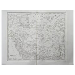
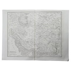
Original Antique Map of Iran By J.Dower. Unframed, Circa 1835

Original Antique Map of Iran By J.Dower. Unframed, Circa 1835

Located in St Annes, Lancashire

Great map of Iran Drawn and engraved by J.Dower Published by Orr & Smith. C.1835 Unframed. Free shipping

Category

1830s Antique British Maps

Materials

Paper

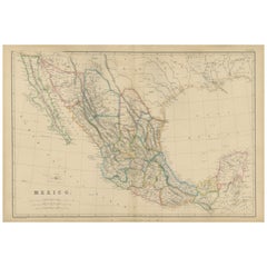
Mexico, Antique Map, Central America and Gulf of Mexico, Blackie Atlas 1860

Mexico, Antique Map, Central America and Gulf of Mexico, Blackie Atlas 1860

Located in Langweer, NL

Mexico, Antique Map, Central America and Gulf of Mexico, Blackie Atlas 1860 Description: This original antique map titled Mexico presents a detailed mid-19th-century view of Mexico ...

Category

Mid-19th Century Antique British Maps

Materials

Paper

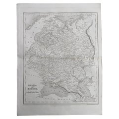
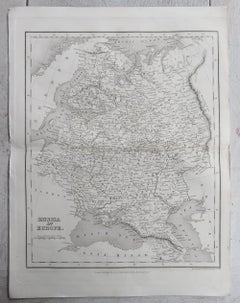
Original Antique Map of Russia By J.Dower. Unframed, Circa 1835

Original Antique Map of Russia By J.Dower. Unframed, Circa 1835

Located in St Annes, Lancashire

Great map of Russia Drawn and engraved by J.Dower Published by Orr & Smith. C.1835 Unframed. Free shipping

Category

1830s Antique British Maps

Materials

Paper

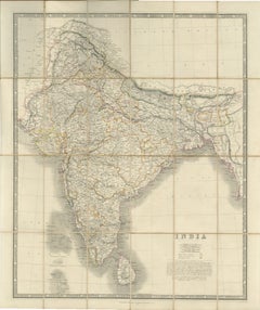
Johnston's Travelling Map of India on Linen in Original Cloth, 1857

Johnston's Travelling Map of India on Linen in Original Cloth, 1857

Located in Langweer, NL

Johnston's Travelling Map of India on Linen in Original Cloth, 1857 An exceptionally rare and historically important travelling map of the Indian subcontinent, published by the reno...

Category

Mid-19th Century Antique British Maps

Materials

Paper, Linen

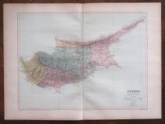
Large Original Antique Map of Cyprus. 1894

Large Original Antique Map of Cyprus. 1894

Located in St Annes, Lancashire

Superb Antique map of Cyprus Published Edward Stanford, Charing Cross, London 1894 Original colour Good condition Unframed. Free shipping

Category

1890s Antique British Maps

Materials

Paper

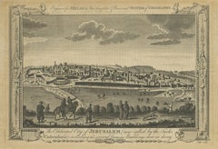
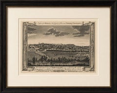
Antique View of Jerusalem Holy Land Engraving, Millar Geography, ca. 1760

Antique View of Jerusalem Holy Land Engraving, Millar Geography, ca. 1760

Located in Langweer, NL

Antique View of Jerusalem Holy Land Engraving, Millar Geography ca. 1760 Large and highly decorative antique engraving depicting the celebrated city of Jerusalem, published for Mill...

Category

Mid-18th Century Antique British Maps

Materials

Paper

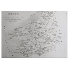
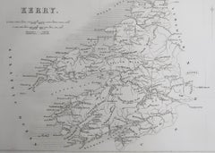
Original Antique Map of Ireland- Kerry. C.1840

Original Antique Map of Ireland- Kerry. C.1840

Located in St Annes, Lancashire

Great map of Kerry Steel engraving Drawn under the direction of A.Adlard Published by How and Parsons, C.1840 Unframed.

Category

1840s Antique British Maps

Materials

Paper

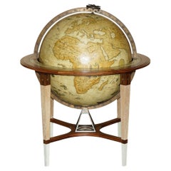
ONE OF A KIND CUSTOM MADE GOSLING LONDON 2011 HUGE FLOOR STANDiNG WORLD GLOBE

ONE OF A KIND CUSTOM MADE GOSLING LONDON 2011 HUGE FLOOR STANDiNG WORLD GLOBE

By Gosling and Son

Located in West Sussex, Pulborough

Royal House Antiques Royal House Antiques is delighted to offer for sale this absolutely stunning one of a kind, custom made 2011, extra large, Gosling London floor standing globe ...

Category

20th Century Victorian British Maps

Materials

Satinwood, Walnut

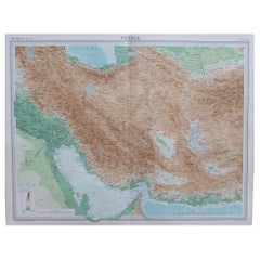
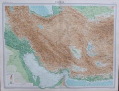
Large Original Vintage Map of Persia / Iran, circa 1920

Large Original Vintage Map of Persia / Iran, circa 1920

Located in St Annes, Lancashire

Great maps of Persia. Unframed. Original color. By John Bartholomew and Co. Edinburgh Geographical Institute. Published, circa 1920. Free shipping.  

Category

1920s Vintage British Maps

Materials

Paper

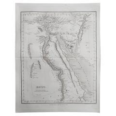
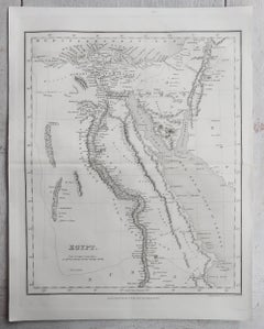
Original Antique Map of Egypt By J.Dower. Unframed, Circa 1835

Original Antique Map of Egypt By J.Dower. Unframed, Circa 1835

Located in St Annes, Lancashire

Great map of Egypt Drawn and engraved by J.Dower Published by Orr & Smith. C.1835 Unframed. Free shipping

Category

1830s Antique British Maps

Materials

Paper

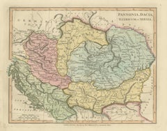
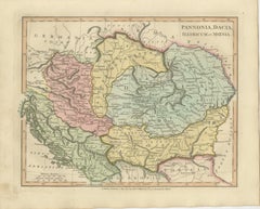
Ancient Pannonia & Dacia Map — Roman Balkans Provinces, Wilkinson 1823

Ancient Pannonia & Dacia Map — Roman Balkans Provinces, Wilkinson 1823

Located in Langweer, NL

Ancient Pannonia & Dacia Map — Roman Balkans Provinces, Wilkinson 1823 This finely engraved and beautifully hand-colored antique map depicts the Roman provinces of Pannonia, Dacia, Illyricum, and Moesia, covering a vast portion of Central and Southeastern Europe during antiquity. Published in London in 1823 by the noted English cartographer Robert Wilkinson, the map forms part of his celebrated classical atlas illustrating the geography of the ancient world through historical scholarship and archaeological interpretation. The composition centers on the Danubian frontier of the Roman Empire, one of antiquity’s most strategically important regions. The Danube River (Danubius) winds prominently across the map, marking the northern defensive boundary of Roman civilization. Surrounding territories include parts of present-day Hungary, Austria, Croatia, Serbia, Romania, and Bulgaria, rendered according to classical geographic sources and Roman provincial organization. Provincial borders are delicately highlighted in original hand color, distinguishing Pannonia, Dacia, Moesia, and Illyricum while maintaining a refined and harmonious palette typical of early nineteenth-century English atlas production. Mountain ranges, rivers, and ancient settlements are engraved with remarkable density and clarity, reflecting the period’s growing fascination with Roman military history and imperial administration. The map illustrates regions closely associated with Roman expansion under emperors such as Trajan, whose conquest of Dacia represented one of the empire’s greatest territorial achievements. Numerous classical place names appear throughout, offering insight into Roman infrastructure, frontier settlements, and trade networks along the Balkans and Carpathian regions. Wilkinson’s classical maps are admired today for combining academic precision with strong decorative appeal. Their balanced typography, elegant engraving style, and subtle coloring make them equally suitable for scholarly collections and refined interior design settings. This sheet, with its wide geographic scope and historical resonance, is particularly attractive for collectors interested in Roman history and European antiquity. A sophisticated and historically rich decorative map appealing to collectors of classical cartography, Roman antiquity, and early nineteenth-century English atlas engraving. Condition: Good antique condition overall. Light age-related toning and occasional spotting consistent with age. Minor edge wear and faint handling marks confined mainly to the margins. Plate mark visible. Framing tips: Excellent in a dark walnut or antiqued gilt frame with a warm ivory mat. A generous mat enhances the soft hand coloring and allows the detailed provincial borders to remain visually calm and readable in both traditional and contemporary interiors. Technique: Copperplate engraving with original hand color Maker: Robert Wilkinson, London, 1823 keywords: Pannonia, Dacia, Illyricum, Moesia, Danubius River, Roman Empire frontier, Balkans, Carpathian Mountains, Thracia, Macedonia, Germania, Sarmatia, Adriatic Sea, Danube frontier, Roman provinces map, Ancient Balkans, Roman military provinces, Trajan Dacia, Central Europe antiquity, Hungary, Croatia, Serbia, Romania, Bulgaria, Classical geography, Wilkinson Atlas 1823, Antique Roman map...

Category

Early 19th Century Antique British Maps

Materials

Paper

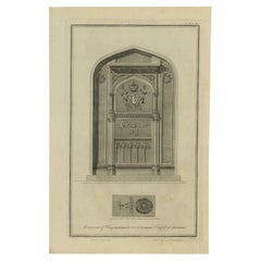
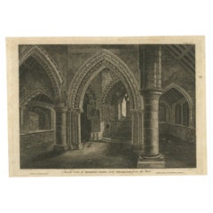
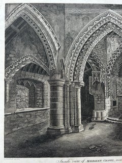
Inside View of Magdalen Chapel – Engraving of Medieval Gothic Interior, 1790

Inside View of Magdalen Chapel – Engraving of Medieval Gothic Interior, 1790

Located in Langweer, NL

Inside View of Magdalen Chapel – Engraving of Medieval Gothic Interior, 1790 This atmospheric antique engraving captures the interior of the Magdalen Chapel near Winchester, as view...

Category

18th Century Antique British Maps

Materials

Paper

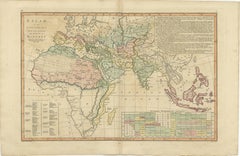
Islamic World Map with Africa, Middle East, India, Indies, Wilkinson 1817

Islamic World Map with Africa, Middle East, India, Indies, Wilkinson 1817

Located in Langweer, NL

Islamic World Map, Africa Middle East India Indies, Wilkinson 1817 This finely engraved and delicately hand-colored map presents a sweeping view of the Islamic world as understood i...

Category

Early 19th Century Antique British Maps

Materials

Paper

Original Antique Map of Ireland- Tipperary and Waterford. C.1840

Original Antique Map of Ireland- Tipperary and Waterford. C.1840

Located in St Annes, Lancashire

Great map of Tipperary and Waterford Steel engraving Drawn under the direction of A.Adlard Published by How and Parsons, C.1840 Unframed.

Category

1840s Antique British Maps

Materials

Paper

Antique Map of Scotland, 1885 – Highlands, Counties & Coastal Detail

Antique Map of Scotland, 1885 – Highlands, Counties & Coastal Detail

Located in Langweer, NL

Antique Map of Scotland, 1885 – Highlands, Counties & Coastal Detail This striking antique map of Scotland was published in 1885 by George W. Bacon in London as part of the *New Lar...

Category

Late 19th Century Antique British Maps

Materials

Paper

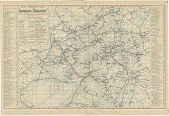
Decorative London Railway Map, Victorian Transport Plan of London & Suburbs 1885

Decorative London Railway Map, Victorian Transport Plan of London & Suburbs 1885

Located in Langweer, NL

Decorative London Railway Map, Victorian Transport Plan of London & Suburbs, 1885 A fascinating and highly decorative Victorian railway map illustrating London and its rapidly expan...

Category

Late 19th Century Antique British Maps

Materials

Paper

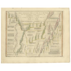
Chrono-Genealogical Chart Fifth Age of the World — Wilkinson 1807

Chrono-Genealogical Chart Fifth Age of the World — Wilkinson 1807

Located in Langweer, NL

Chrono-Genealogical Chart Fifth Age of the World — Wilkinson 1827 This finely engraved and delicately hand-colored chrono-genealogical chart titled “Chrono-Genealogical Chart of the...

Category

Early 19th Century Antique British Maps

Materials

Paper

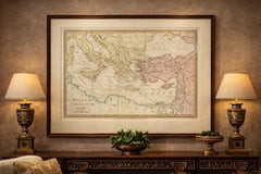
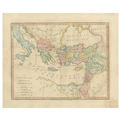
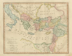
Early Christian World Biblical Map — Travels of the Apostles, Antique, 1798

Early Christian World Biblical Map — Travels of the Apostles, Antique, 1798

Located in Langweer, NL

Early Christian World Biblical Map — Travels of the Apostles, Antique, 1798 This finely engraved and delicately hand-colored biblical map titled “The Countries Travelled by the Apos...

Category

Early 19th Century Antique British Maps

Materials

Paper

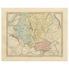
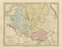
Ancient Sarmatia & Eastern Europe Map — Classical Geography, Wilkinson 1801

Ancient Sarmatia & Eastern Europe Map — Classical Geography, Wilkinson 1801

Located in Langweer, NL

Ancient Sarmatia & Eastern Europe Map — Classical Geography, Wilkinson 1801 This elegant hand-colored antique map titled Sarmatia Antiqua presents the vast regions of Eastern Eu...

Category

Early 19th Century Antique British Maps

Materials

Paper

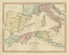
Hannibal’s Campaign Map, Spain to Italy via Alps, Wilkinson London 1817

Hannibal’s Campaign Map, Spain to Italy via Alps, Wilkinson London 1817

Located in Langweer, NL

Hannibal’s Campaign Map, Spain to Italy via Alps, Wilkinson London 1817 This finely engraved and delicately hand-colored map illustrates the legendary military campaign of Hannibal ...

Category

Early 19th Century Antique British Maps

Materials

Paper

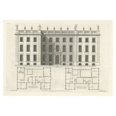
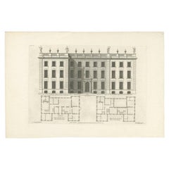
Antique Print of the Bold Hall in Warwickshire in England, 1714

Antique Print of the Bold Hall in Warwickshire in England, 1714

Located in Langweer, NL

Antique print titled 'The Elevation of Nen Bold-Hall in Warwickshire (..)'. View of the Bold Hall in Warwickshire, England. This print originates from 'Vitruvius Britannicus' by Co...

Category

18th Century Antique British Maps

Materials

Paper

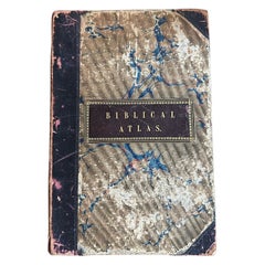
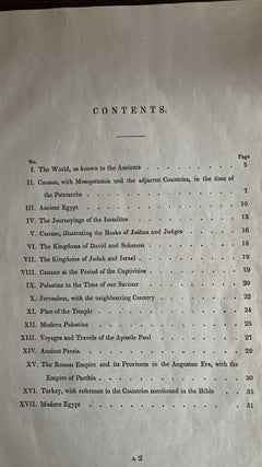
Antique Biblical Atlas with 17 Hand-Colored Maps, Religious Tract Society c.1850

Antique Biblical Atlas with 17 Hand-Colored Maps, Religious Tract Society c.1850

Located in Langweer, NL

Antique Biblical Atlas with 17 Hand-Colored Maps, Religious Tract Society c.1850 This rare Biblical Atlas was published in London by the Religious Tract Society, founded in 1799, an...

Category

Mid-19th Century Antique British Maps

Materials

Paper

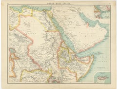
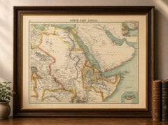
North-East Africa Map Showing Egypt, Abyssinia, Sudan & Somaliland c.1902

North-East Africa Map Showing Egypt, Abyssinia, Sudan & Somaliland c.1902

Located in Langweer, NL

North-East Africa Map Showing Egypt, Abyssinia, Sudan & Somaliland c.1902 A large and visually striking antique map titled “North-East Africa,” depicting the political and geographi...

Category

Early 20th Century British Maps

Materials

Paper

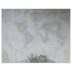
Large Original Antique Map of The World, Fullarton, C.1870

Large Original Antique Map of The World, Fullarton, C.1870

Located in St Annes, Lancashire

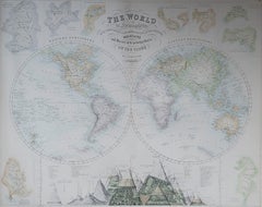
Great map of the World. Showing both hemispheres From the celebrated Royal Illustrated Atlas Lithograph. Original color. Published by Fullarton, Edinburgh, C.1870 Unframed. Rep...

Category

1870s Antique British Maps

Materials

Paper

Ancient Asia Minor Map — Classical Anatolia & Pontus, Wilkinson London 1815

Ancient Asia Minor Map — Classical Anatolia & Pontus, Wilkinson London 1815

Located in Langweer, NL

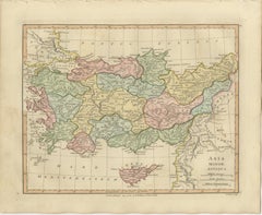
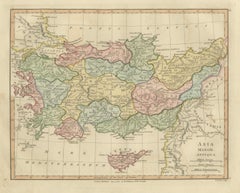
Ancient Asia Minor Map — Classical Anatolia & Pontus, Wilkinson London 1815 This finely engraved and original hand-colored antique map titled Asia Minor Antiqua depicts the ancient geography of Anatolia — modern-day Turkey — as understood through classical Greek and Roman sources. Published in London in 1815 by Robert Wilkinson, the map forms part of his celebrated historical atlas reconstructing the ancient world for early nineteenth-century scholars and collectors. The composition stretches from the Aegean Sea to Mesopotamia and from the Black Sea (Pontus Euxinus) southward to the Mediterranean, presenting a richly detailed vision of classical Asia Minor. Ancient regions including Bithynia, Galatia, Cappadocia, Lycia, Caria, Lydia, Phrygia, Pontus, and Cilicia are clearly delineated in delicate pastel hand coloring, allowing the viewer to visualize political and cultural divisions described by ancient historians. Cities central to antiquity — such as Ephesus, Smyrna, Troy, Sardis, and Antioch — appear alongside rivers, mountain chains, and coastal settlements engraved with remarkable precision. Cyprus is prominently included at the lower center, reinforcing the map’s importance as a representation of eastern Mediterranean geography during the classical era. Wilkinson’s historical maps were produced during a period of intense European fascination with classical civilization, archaeology, and ancient literature. Rather than depicting contemporary political borders, these maps sought to recreate the world of antiquity itself, blending Enlightenment scholarship with elegant decorative cartography. The refined engraving, balanced layout, and restrained coloring give the map both intellectual depth and strong aesthetic presence. Today, examples from the Wilkinson atlas are especially valued for their harmonious combination of academic clarity and decorative sophistication, making them ideal for collectors of classical history as well as interior designers seeking timeless historical imagery. Condition: Good antique condition overall. Light age-related toning with scattered spotting and minor handling wear confined mainly to the margins. Plate mark visible. Framing tips: Beautifully suited to a dark walnut or ebonized frame with an ivory mount. A wide mat enhances the subtle pastel coloring and creates a museum-style presentation ideal for study or library interiors. Technique: Copperplate engraving with original hand color Maker: Robert Wilkinson, London, 1818 Keywords: Asia Minor Antiqua, Anatolia antique map, Pontus Euxinus, Cappadocia, Galatia, Bithynia, Phrygia, Lydia, Caria, Lycia, Cilicia, Troas, Troy, Ephesus, Smyrna, Sardis, Antioch, Cyprus antique map...

Category

Early 19th Century Antique British Maps

Materials

Paper

Antique St Eustatius Caribbean View, Ships Harbor, Tournefort 1717

Antique St Eustatius Caribbean View, Ships Harbor, Tournefort 1717

Located in Langweer, NL

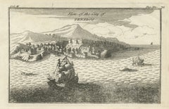
Antique St Eustatius Caribbean View, Ships Harbor, Tournefort 1717 A highly evocative early 18th-century engraved view of the Caribbean island of St. Eus...

Category

Early 18th Century Antique British Maps

Materials

Paper

Antique Map South Africa, Bartholomew for Black’s General Atlas - 1884

Antique Map South Africa, Bartholomew for Black’s General Atlas - 1884

Located in Langweer, NL

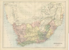
Antique Map South Africa, Bartholomew for Black’s General Atlas - 1884 Description: This detailed map of South Africa was published in the New and Revised Edition of Black’s General...

Category

Late 19th Century Antique British Maps

Materials

Paper

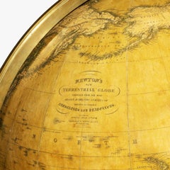
Large and Extremely Rare Terrestrial Globe by Newton

Large and Extremely Rare Terrestrial Globe by Newton

By Newton Globes - Planer & Newton

Located in Lymington, Hampshire

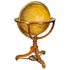
A large and extremely rare 24-inch terrestrial globe by Newton Our most magnificent and rare globes were a pair of 24-inch Newton globes. These too were updated in 1852 (terre...

Category

Mid-19th Century Antique British Maps

Materials

Mahogany

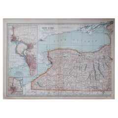
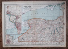
Original Antique Map of the American State of New York ( Western Part ) 1903

Original Antique Map of the American State of New York ( Western Part ) 1903

Located in St Annes, Lancashire

Antique map of New York ( Western Part ) Published By A & C Black. 1903 Original colour Good condition Unframed. Free shipping

Category

Early 1900s Antique British Maps

Materials

Paper

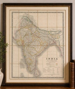
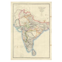
Large Antique Map of India – Post Roads and Dak Stations by James Wyld, c.1855

Large Antique Map of India – Post Roads and Dak Stations by James Wyld, c.1855

Located in Langweer, NL

Antique Map of India – Post Roads and Dak Stations by James Wyld, c.1855 This impressive antique map titled "India Shewing the Post Roads and Dak Stations" was engraved and publishe...

Category

Mid-19th Century Antique British Maps

Materials

Paper

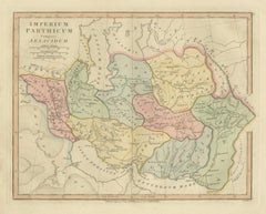
Parthian Empire Map, Arsacid Persia & Bactria, Wilkinson London 1817

Parthian Empire Map, Arsacid Persia & Bactria, Wilkinson London 1817

Located in Langweer, NL

Parthian Empire Map, Arsacid Persia & Bactria, Wilkinson London 1817 This finely engraved and delicately hand-colored map depicts the Parthian Empire at the height of the Arsacid dy...

Category

Early 19th Century Antique British Maps

Materials

Paper

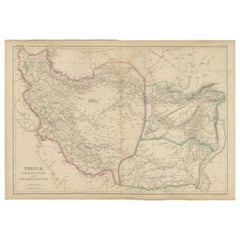
Persia, Afghanistan and Beloochistan, Antique Map of Iran Region, Blackie 1860

Persia, Afghanistan and Beloochistan, Antique Map of Iran Region, Blackie 1860

Located in Langweer, NL

Persia, Afghanistan and Beloochistan, Antique Map of Iran Region, Blackie 1860 Description: This original antique map titled Persia, Afghanistan and Beloochistan presents a detailed mid-19th-century cartographic view of a strategically important region at the crossroads of the Middle East, Central Asia, and South Asia. The map originates from The Imperial Atlas of Modern Geography and was published in 1860 by W. G. Blackie, one of the most respected British atlas publishers of the Victorian era. The map covers Persia (modern-day Iran), Afghanistan, and Beloochistan (Balochistan), extending from the Caspian Sea in the north to the Persian Gulf and Arabian Sea in the south, and eastward toward the Indus frontier. Political and regional boundaries are clearly distinguished with original hand coloring, reflecting contemporary divisions between Persian territories, Afghan regions, and adjacent lands influenced by British India. Mountain systems such as the Zagros, Elburz, and Hindu Kush are rendered with pronounced relief, emphasizing the rugged terrain that shaped trade, warfare, and political control. Major river systems, deserts, caravan routes, and key settlements are meticulously engraved, offering insight into 19th-century European geographic knowledge of the region. Coastal outlines along the Caspian Sea and Persian Gulf are carefully delineated, highlighting important ports and maritime connections. This map reflects the geopolitical importance of the region during the era of the “Great Game,” when British and Russian imperial interests converged in Central Asia. Its refined engraving, subtle original coloring, and large horizontal format give it both strong historical significance and decorative appeal. It is equally suited to collectors of Middle Eastern and Central Asian cartography and to interior designers seeking a historically grounded wall map with intellectual presence. Condition report: Good antique condition. Light overall age toning consistent with age. Minor scattered foxing and light handling marks, mainly visible in the margins. Original central fold as issued. No major tears or losses. Framing tips: A wide ivory or warm cream mat will enhance the clarity of the engraving and original hand coloring. A dark walnut, black, or understated antique gilt frame complements the map’s scholarly and exploratory character. Museum or UV-protective glass is recommended. Technique: Copper engraving with original hand coloring Maker: W. G. Blackie, Scotland, 1860 Keywords: Persia map, Iran map...

Category

Mid-19th Century Antique British Maps

Materials

Paper

Antique Map Turkey in Asia, Ottoman Empire Anatolia Syria Iraq Black, 1884

Antique Map Turkey in Asia, Ottoman Empire Anatolia Syria Iraq Black, 1884

Located in Langweer, NL

Antique Map Turkey in Asia, Ottoman Empire Anatolia Syria Iraq Black 1884 This detailed and beautifully engraved antique map titled Turkey in Asia was published in the New and Revised Edition of Black’s General Atlas of the World, issued in Edinburgh in 1884 by the respected Scottish cartographic publisher Adam and Charles Black. The map illustrates a vast portion of the Middle East during the late nineteenth century, when the region formed the Asian territories of the Ottoman Empire. The map centers on Anatolia, the great peninsula that today forms modern Turkey, shown here as the heartland of Ottoman Asia. The rugged mountain ranges, river systems, and historic provinces are carefully engraved, reflecting the high standard of Victorian atlas cartography. Numerous cities and towns are clearly marked, including Constantinople (Istanbul), Smyrna (Izmir), Angora (Ankara), Trebizond, and many other regional centers that played important roles in trade and administration. Extending southward, the map covers Syria and the Levant, including Damascus, Aleppo, and the Mediterranean coastal cities that historically linked the Ottoman interior with European commerce. Further south appear Palestine and the Sinai region, together with the eastern Mediterranean coastline. The map also includes the northern portion of Egypt, showing the Nile Delta and the strategic area surrounding the Suez Canal, which had opened only fifteen years earlier in 1869 and had quickly become one of the most important maritime routes in the world. To the east the map extends into Mesopotamia, depicting the great river valleys of the Tigris and Euphrates, including the historic cities of Mosul, Baghdad, and Basra. These regions formed key administrative provinces of the Ottoman Empire and were vital corridors connecting Anatolia with Persia and the Arabian Peninsula. The composition also includes parts of Armenia, Kurdistan, and the Caucasus along the northern and northeastern margins, as well as portions of Persia and Arabia to the southeast. An inset map of Cyprus appears at the bottom, highlighting the island’s strategic importance in the eastern Mediterranean. Cyprus had recently come under British administration in 1878, reflecting the shifting geopolitical dynamics of the region during the late nineteenth century. The map is engraved with remarkable clarity, featuring finely drawn coastlines, mountain relief, and a delicate latitude and longitude grid. Land areas are distinguished with subtle printed color, a typical feature of high-quality Victorian atlas production. The understated color scheme and precise engraving give the map both historical authority and strong decorative appeal. Maps from Black’s General Atlas were widely respected for their accuracy and clarity and were used throughout the British world in schools, libraries, and government institutions. Today they are highly appreciated by collectors for their elegant engraving and for the insight they provide into the political geography of the late nineteenth century. This map was published in the New and Revised Edition of Black’s General Atlas of the World, Edinburgh, 1884. This example is an original antique steel engraving with original printed color applied at the time of publication. It is not a modern reproduction. Any presentation images showing the print framed are for visual inspiration only. The map is supplied unframed. Condition: Good antique condition with light age toning consistent with age and a central fold from the original atlas binding. A small tear near the folding split. The engraving remains crisp and the printed color remains clear and attractive. Framing tips: This map displays beautifully in a wide horizontal frame. A dark walnut or classic black frame combined with an ivory or museum-white mat will emphasize the delicate engraving and warm tones of the nineteenth-century printed color. Technique: Steel engraving with original printed color Maker: Adam & Charles Black, Edinburgh, 1884 Keyword block: Turkey in Asia, Ottoman Empire, Anatolia, Asia Minor, Syria, Palestine, Mesopotamia, Iraq, Baghdad, Mosul, Basra, Damascus, Aleppo, Constantinople, Istanbul, Smyrna, Izmir, Angora, Ankara, Armenia, Kurdistan, Caucasus, Persia, Iran, Arabia, Nile Delta, Egypt, Suez Canal, Cyprus, Eastern Mediterranean, Middle East map, Ottoman provinces, nineteenth century Middle East, Victorian atlas map, Black’s General Atlas, antique Turkey map...

Category

Late 19th Century Antique British Maps
Materials

Paper

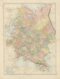
Antique Map Russia in Europe, Bartholomew for Black’s General Atlas - 1884

Antique Map Russia in Europe, Bartholomew for Black’s General Atlas - 1884

Located in Langweer, NL

Antique Map Russia in Europe, Bartholomew for Black’s General Atlas 1884 Description: This detailed map titled “Russia in Europe” was published in the New and Revised Edition of Bla...

Category

Late 19th Century Antique British Maps
Materials
Paper