Want more images or videos?
Request additional images or videos from the seller
1 of 10

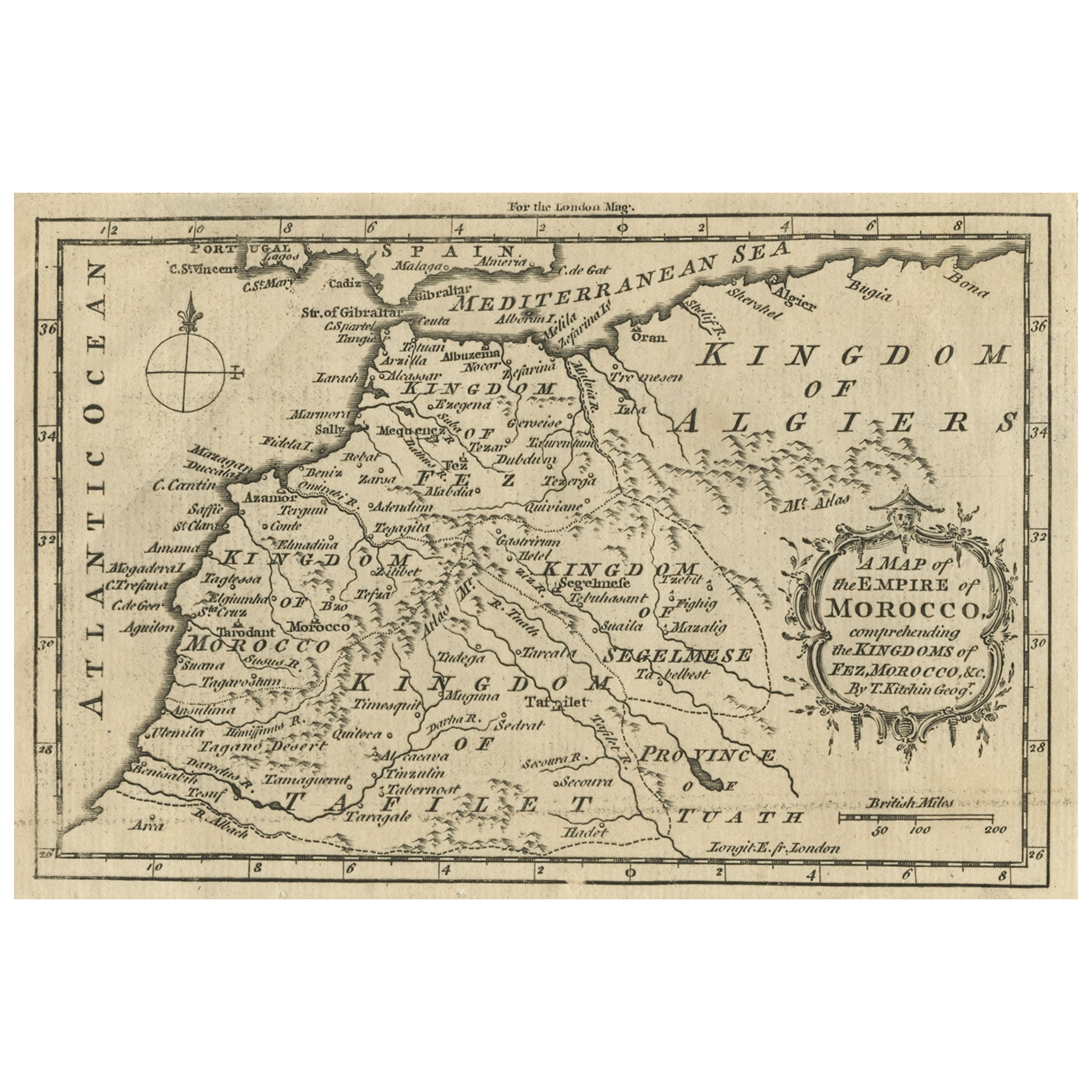
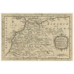
Antique Map of the Empire of Morocco by Kitchin, c.1760

$170.72
$213.0820% Off
£126.18
£157.3620% Off
€144VAT Included
€18020% Off
CA$235.46
CA$295.5020% Off
A$236.84
A$297.3120% Off
CHF 138
CHF 172.5720% Off
MX$2,885.57
MX$3,623.4420% Off
NOK 1,587.10
NOK 1,991.9120% Off
SEK 1,628.05
SEK 2,043.9720% Off
DKK 1,097.83
DKK 1,372.3620% Off

About the Item

Antique map titled 'A Map of the Empire of Morocco Comprehending the Kingdoms of Fez, Morocco'. Original antique map of the kingdoms of Fez, Algiers, Segelmese, Tafilet and Morocco. Towns, rivers and mountains are indicated. This map originates from the 'London Magazine' circa 1760. Artists and Engravers: Thomas Kitchin (or Thomas Kitchen (1718 - 1784) was an English engraver and cartographer, who became hydrographer to the king. He was also an author, who wrote about the history of the West Indies. Condition: Good, some age related toning. Original plate mark visible. Please study scan carefully. Date: c.1760 We sell original antique maps to collectors, historians, educators and interior decorators all over the world. Our collection includes a wide range of authentic antique maps from the 16th to the 20th centuries. Buying and collecting antique maps is a tradition that goes back hundreds of years. Antique maps have proved a richly rewarding investment over the past decade, thanks to a growing appreciation of their unique historical appeal. Today the decorative qualities of antique maps are widely recognized by interior designers who appreciate their beauty and design flexibility. Depending on the individual map, presentation, and context, a rare or antique map can be modern, traditional, abstract, figurative, serious or whimsical. We offer a wide range of authentic antique maps for any budget.
  • Creator:
  • Dimensions:
    Height: 5.12 in (13 cm)Width: 8.08 in (20.5 cm)Depth: 0.01 in (0.2 mm)
  • Materials and Techniques:
    Paper,Engraved
  • Place of Origin:
  • Period:
  • Date of Manufacture:
    circa 1760
  • Condition:
    Condition: Good, some age related toning. Original plate mark visible. Please study scan carefully.
  • Seller Location:
    Langweer, NL
  • Reference Number:
    Seller: BL-00043'1stDibs: LU3054327793552

More From This Seller

View All
Old Map of the Kingdoms of Fez, Algiers, Segelmese, Tafilet and Morocco, ca.1760

Old Map of the Kingdoms of Fez, Algiers, Segelmese, Tafilet and Morocco, ca.1760

Located in Langweer, NL

Antique map titled 'A Map of the Empire of Morocco Comprehending the Kingdoms of Fez, Morocco'. Original antique map of the kingdoms of Fez, Algiers, Segelmese, Tafilet and Moroc...

Category

Antique 1760s British Maps

Materials

Paper
Antique Map of the Middle East by Mortier, 1700

Antique Map of the Middle East by Mortier, 1700

Located in Langweer, NL

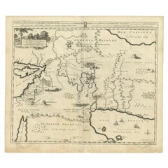
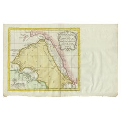
Antique map titled 'Carte de la Situation du Paradis Terrestre (..)'. Detailed map of the Holy Land and the Middle East, centered on the Garden of Eden and including a large Cyprus. ...

Category

Antique 18th Century Maps

Materials

Paper

Original Antique Map of Northern Africa by Van Dùren (1749)

Original Antique Map of Northern Africa by Van Dùren (1749)

Located in Langweer, NL

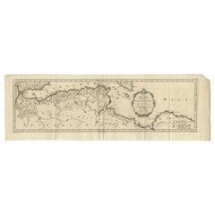
This is a German antique map titled 'Neue Geographische Vorstellung der Mitternaechtlichen Küste von Africa'. Original antique engraving of Northern Africa extending from the Strait ...

Category

Antique Mid-18th Century Maps

Materials

Paper

Antique Bible Map of the Middle East by A. Schut, 1743

Antique Bible Map of the Middle East by A. Schut, 1743

Located in Langweer, NL

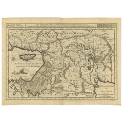
Antique map titled 'De Gelegentheyt van 't Paradys en 't Landt Canaan'. Dutch Bible map covering the region between the Mediterranean and the Persian Gulf, ...

Category

Antique Mid-18th Century Maps

Materials

Paper

Antique Map of Western and Eastern Barbary in Africa, c.1744

Antique Map of Western and Eastern Barbary in Africa, c.1744

Located in Langweer, NL

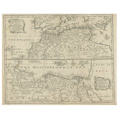
Antique map titled 'A New & Accurate Map of the Western Parts of Barbary' and 'A New & Accurate Map of the Eastern Parts of Barbary'. Decorative maps of North Africa and the ...

Category

Antique 18th Century British Maps

Materials

Paper
You May Also Like

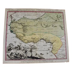
West Africa Entitled "Guinea Propria": An 18th Century Hand Colored Homann Map

West Africa Entitled "Guinea Propria": An 18th Century Hand Colored Homann Map

By Johann Baptist Homann

Located in Alamo, CA

This is a scarce richly hand colored copper plate engraved map of Africa entitled "Guinea Propria, nec non Nigritiae vel Terrae Nigrorum Maxima Pars" by Johann Baptist Homann (1664-1...

Category

Antique Mid-18th Century German Maps

Materials

Paper

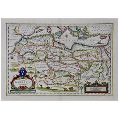
"Nova Barbariae Descriptio", a 17th Century Hand-Colored Map of North Africa

"Nova Barbariae Descriptio", a 17th Century Hand-Colored Map of North Africa

By Johannes Janssonius

Located in Alamo, CA

This original attractive 17th century hand-colored map of North Africa entitled "Nova Barbariae Descriptio" by Johannes Janssonius was published in Paris in 1635. It includes the Med...

Category

Antique Mid-17th Century Dutch Maps

Materials

Paper

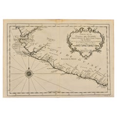
West Coast of Africa, Guinea & Sierra Leone: An 18th Century Map by Bellin

West Coast of Africa, Guinea & Sierra Leone: An 18th Century Map by Bellin

By Jacques-Nicolas Bellin

Located in Alamo, CA

Jacques Bellin's copper-plate map entitled "Partie de la Coste de Guinee Dupuis la Riviere de Sierra Leona Jusquau Cap das Palmas", depicting the coast of Guinea and Sierra Leone in ...

Category

Antique Mid-18th Century French Maps

Materials

Paper

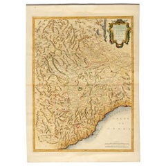
Antique Map of Monaco by Bruno Santini, French, 1779, Collectible Art

Antique Map of Monaco by Bruno Santini, French, 1779, Collectible Art

By Bruno Santini

Located in Alessandria, Piemonte

ST/609 - Interesting antique color map of Monaco Principality in French language : "Carte qui contient le Principauté de Piémont, le Monferrat et la comté de...

Category

Antique Late 18th Century Italian Other Maps

Materials

Paper

18th Century Emanuel Bowen Map of County of York, c.1740

18th Century Emanuel Bowen Map of County of York, c.1740

By Emanuel Bowen

Located in Royal Tunbridge Wells, Kent

Antique 18th century British rare and original Emanuel Bowen (1694-1767) map of the County of York divided into its Ridings and subdivided into wapontakes, mounted in solid wood fram...

Category

Antique Early 18th Century British Maps

Materials

Paper

1714 Henri Chatelain "Nouvelle Carte Des Etatas Du Grand.Duc De Mos Moscovie Eur

1714 Henri Chatelain "Nouvelle Carte Des Etatas Du Grand.Duc De Mos Moscovie Eur

Located in Norton, MA

A 1714 Henri Chatelain map, entitled "Nouvelle Carte Des Etatas Du Grand Duc De Moscovie En Europe," Ricb001 Henri Abraham Chatelain (1684-1743) was a Huguenot pastor of Parisi...

Category

Antique Early 18th Century Dutch Maps

Materials

Paper