Want more images or videos?
Request additional images or videos from the seller
1 of 6

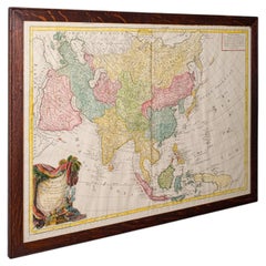
Antique Map of Asia with Additional Country Information, c. 1749

$1,705.86
$2,132.3320% Off
£1,262.01
£1,577.5220% Off
€1,440VAT Included
€1,80020% Off
CA$2,361
CA$2,951.2520% Off
A$2,369.58
A$2,961.9820% Off
CHF 1,381.78
CHF 1,727.2220% Off
MX$28,807.26
MX$36,009.0820% Off
NOK 15,878.01
NOK 19,847.5120% Off
SEK 16,329.72
SEK 20,412.1520% Off
DKK 10,979.11
DKK 13,723.8920% Off

About the Item

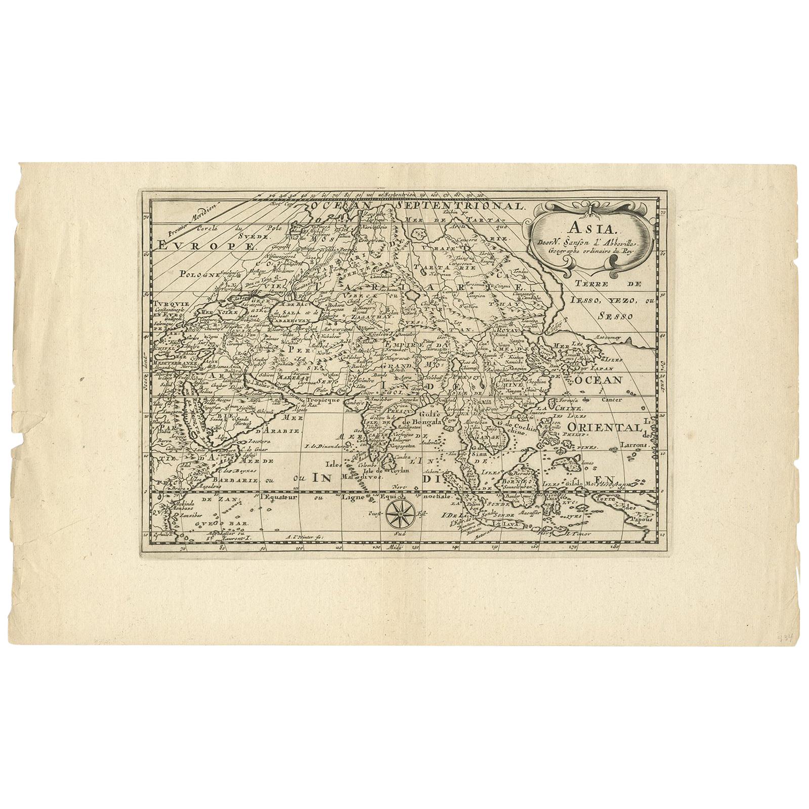
Antique map titled 'L'Asie divisée en ses principaux Empires et Royaumes'. Detailed map of Asia, with a large table on the right side, providing information about the various major countries and regions. Artists and Engravers: Made after N. Sanson. Gilles Robert de Vaugondy (1688-1766), also known as Le Sieur or Monsieur Robert, and his son, Didier Robert de Vaugondy (c.1723-1786), were leading cartographers in France during the 18th century. We sell original antique maps to collectors, historians, educators and interior decorators all over the world. Our collection includes a wide range of authentic antique maps from the 16th to the 20th centuries. Buying and collecting antique maps is a tradition that goes back hundreds of years. Antique maps have proved a richly rewarding investment over the past decade, thanks to a growing appreciation of their unique historical appeal. Today the decorative qualities of antique maps are widely recognized by interior designers who appreciate their beauty and design flexibility. Depending on the individual map, presentation, and context, a rare or antique map can be modern, traditional, abstract, figurative, serious or whimsical. We offer a wide range of authentic antique maps for any budget.
  • Dimensions:
    Height: 21.26 in (54 cm)Width: 29.53 in (75 cm)Depth: 0 in (0.01 mm)
  • Materials and Techniques:
  • Period:
  • Date of Manufacture:
    1749
  • Condition:
    Condition: Very good, please study image carefully.
  • Seller Location:
    Langweer, NL
  • Reference Number:
    Seller: BG-071551stDibs: LU3054326091332

More From This Seller

View All
Antique Map of Asia by Dussy, 1778

Antique Map of Asia by Dussy, 1778

Located in Langweer, NL

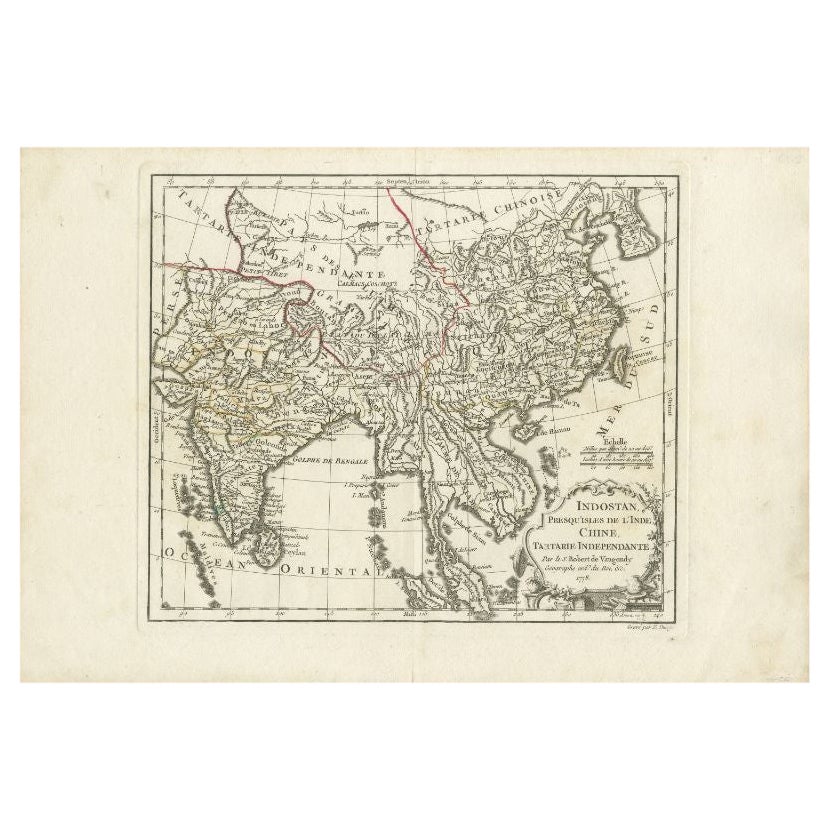
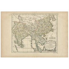
Antique map of Asia titled 'Indostan presqu'isles de l'Inde, Chine, Tartarie Independante'. Depicting South-East Asia including Hindustan, India an...

Category

Antique Late 18th Century French Maps

Materials

Paper
Antique Map of Asia by Mentelle, 1819

Antique Map of Asia by Mentelle, 1819

Located in Langweer, NL

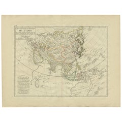
Antique map titled 'Carte générale et Politique de l'Asie'. Detailed map of Asia. Includes a nice early depiction of Australia (Nouvelle Hollande), including its unknown and conjectu...

Category

Antique Early 19th Century French Maps

Materials

Paper
Antique Map of Asia by Guthrie, 1787

Antique Map of Asia by Guthrie, 1787

Located in Langweer, NL

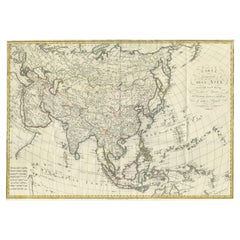
Antique map titled 'Asia from the best Authorities'. Old map of the Asian continent. This map originates from 'A New Geographical, Historical and Commercial Grammar; and Present State of the several Kingdoms of the World' 10th ed. by W. Guthrie. Artists and Engravers: Published by Ch.Dilly; GGJ...

Category

Antique 18th Century Maps

Materials

Paper

Antique Map of North and East Asia, 1751

Antique Map of North and East Asia, 1751

Located in Langweer, NL

Map 2: 'Carte des parties nord et est de L'Asie'. (Map of the Northern parts and East Asia.) Five maps on one sheet, showing California, Alaska and Siberia, Korea and Japan. South to...

Category

Antique 18th Century French Maps

Materials

Paper
Antique Map of Asia by Sanson, circa 1705

Antique Map of Asia by Sanson, circa 1705

By Nicolas Sanson

Located in Langweer, NL

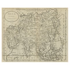
Dutch edition of Sanson's map of Asia. Shows a large, dramatic version of Terre de Jesso, drawn from the discoveries of the Maarten de Vries expedition of 1643.

Category

Antique Early 18th Century Dutch Maps

Materials

Paper

You May Also Like

Large Original Antique Map of Asia by Sidney Hall, 1847

Large Original Antique Map of Asia by Sidney Hall, 1847

Located in St Annes, Lancashire

Great map of Asia Drawn and engraved by Sidney Hall Steel engraving Original colour outline Published by A & C Black. 1847 Unframed Free shipping

Category

Antique 1840s Scottish Maps

Materials

Paper

Antique French Map of Asia Including China Indoneseia India, 1783

Antique French Map of Asia Including China Indoneseia India, 1783

Located in Amsterdam, Noord Holland

Very nice map of Asia. 1783 Dedie au Roy. Additional information: Country of Manufacturing: Europe Period: 18th century Qing (1661 - 1912) Condition: Overall Condition B (Good Used)...

Category

Antique 18th Century European Maps

Materials

Paper

Antique Map of Asia, French, Framed, Atlas, Continental Cartography, Georgian

Antique Map of Asia, French, Framed, Atlas, Continental Cartography, Georgian

Located in Hele, Devon, GB

This is an antique map of Asia. A French, framed atlas representation of the continent, dating to the late 18th century, circa 1800. A fine framed excerpt, originaly published in t...

Category

Antique Early 1800s French Georgian Maps

Materials

Glass, Paper

Original Antique Map of The World by Thomas Clerk, 1817

Original Antique Map of The World by Thomas Clerk, 1817

Located in St Annes, Lancashire

Great map of The Eastern and Western Hemispheres On 2 sheets Copper-plate engraving Drawn and engraved by Thomas Clerk, Edinburgh. Published by Mackenzie And Dent, 1817 ...

Category

Antique 1810s English Maps

Materials

Paper

Antique Map of Eastern Hemisphere from the collection of Thierry Despont

Antique Map of Eastern Hemisphere from the collection of Thierry Despont

Located in New York, NY

Designed by Enrico Bonetti (E. Bonatti) and published by Francesco Vallardi Editore. Based on an earlier map by Evangelista Azzi (Ev. Azzi). Labeled as such at bottom edge of map. T...

Category

Antique Late 19th Century Italian Maps

Materials

Canvas, Wood