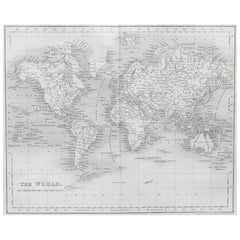
Original Antique Map of The World by Dower, circa 1835
Located in St Annes, Lancashire
Nice map of the World Drawn and engraved by J.Dower Published by Orr & Smith. C.1835 Unframed. Free shipping
Category
Antique 1830s English Maps
Materials
Paper
Original Antique Map of The World by Dower, circa 1835
Located in St Annes, Lancashire
Nice map of the World Drawn and engraved by J.Dower Published by Orr & Smith. C.1835 Unframed. Free shipping
Paper
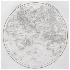
Original Antique Map of The Eastern Hemisphere by Dower, circa 1835
Located in St Annes, Lancashire
Nice map of the Eastern Hemisphere Drawn and engraved by J.Dower Published by Orr & Smith. C.1835 Unframed. Free shipping
Paper
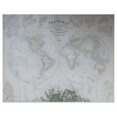
Large Original Antique Map of The World, Fullarton, C.1870
Located in St Annes, Lancashire
Great map of the World. Showing both hemispheres From the celebrated Royal Illustrated Atlas Lithograph. Original color. Published by Fullarton, Edinburgh, C.1870 Unframed. Rep...
Paper
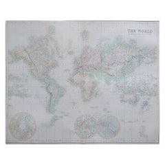
Large Original Antique Map of the World, Fullarton, circa 1870
Located in St Annes, Lancashire
Great map of the World. From the celebrated Royal Illustrated Atlas Lithograph. Original color. Published by Fullarton, Edinburgh, circa 1870. Unframed.
Paper
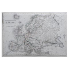
Large Original Antique Map of Europe by Sidney Hall, 1847
Located in St Annes, Lancashire
Great map of Europe Drawn and engraved by Sidney Hall Steel engraving Original colour outline Published by A & C Black. 1847 Unframed Free shipping.
Paper
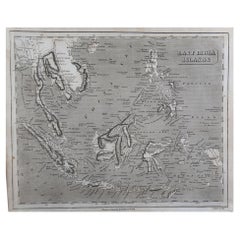
Original Antique Map of South East Asia by Thomas Clerk, 1817
Located in St Annes, Lancashire
Great map of South East Asia Copper-plate engraving Drawn and engraved by Thomas Clerk, Edinburgh. Published by Mackenzie And Dent, 1817 Unframed.
Paper
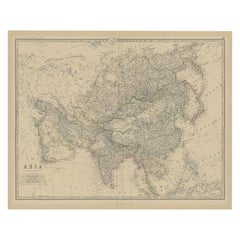
Large Antique Map of Asia The Royal Atlas of Modern Geography by Johnston, 1882
Located in Langweer, NL
Antique map titled 'Asia'. Old map of the Asian continent. This map originates from 'The Royal Atlas of Modern Geography, Exhibiting, in a Series of Entirely Original and Authentic M...
Paper
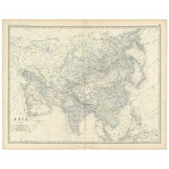
Antique Map of Asia by K. Johnston, circa 1879
Located in Langweer, NL
No. 28 of Keith Johnston's General Atlas. Published by William Blackwood & Sons Edinburgh & London, circa 1879.
Paper

Antique Map of Asia by A & C, Black, 1870
Located in Langweer, NL
Antique map titled 'Asia'. Original antique map of Asia. This map originates from ‘Black's General Atlas of The World’. Published by A & C. Black, 1870.
Paper
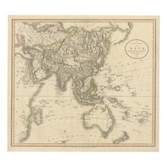
Original 1806 Engraved Map of Asia and Surrounding Regions by John Cary
Located in Langweer, NL
The map titled "A New Map of Asia, From the Latest Authorities" was published in 1806. It is a detailed and comprehensive depiction of the continent of Asia, extending from Europe and the Arabian Peninsula in the west to Japan and the Pacific Islands in the east, and from the Arctic regions in the north to parts of New Holland (Australia) and the Indian Ocean in the south. The map is finely engraved, with political boundaries delineated using color to distinguish different empires, kingdoms, and colonial possessions of the time. Key geographical features such as mountain ranges, rivers, and major cities are clearly marked. It also includes significant maritime routes and islands across the Indian and Pacific Oceans, reflecting the global trade and exploration activities of the early 19th century. Notable Features: - Asia is represented with its vast and diverse regions, including the extensive Russian Empire in the north, the Ottoman Empire in the west, the Qing Dynasty's control over China, and the Mughal Empire's influence in India, which is under increasing British control. - India is shown with its numerous princely states, many of which are under British influence or control. - Southeast Asia includes the colonial possessions of European powers, particularly the Dutch East Indies, Spanish Philippines...
Paper
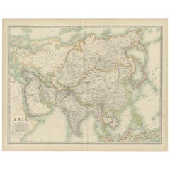
Antique Map of Asia by Johnston '1909'
Located in Langweer, NL
Antique map titled 'Asia'. Depicting China, Japan, Indonesia, India, Arabia and more. This map originates from the ‘Royal Atlas of Modern Geography’. Published by W. & A.K. Johnston,...
Paper
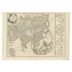
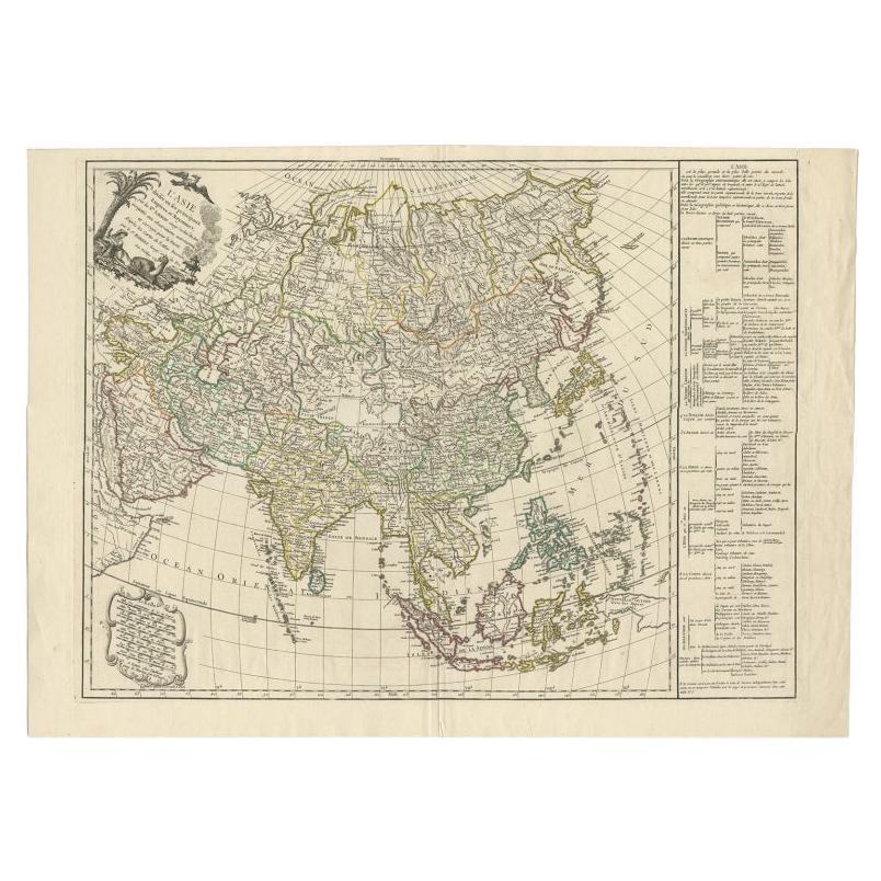
Antique Map of Asia with Additional Country Information, c. 1749
Located in Langweer, NL
Antique map titled 'L'Asie divisée en ses principaux Empires et Royaumes'. Detailed map of Asia, with a large table on the right side, providing information about the various major c...
Paper