Want more images or videos?
Request additional images or videos from the seller
1 of 5

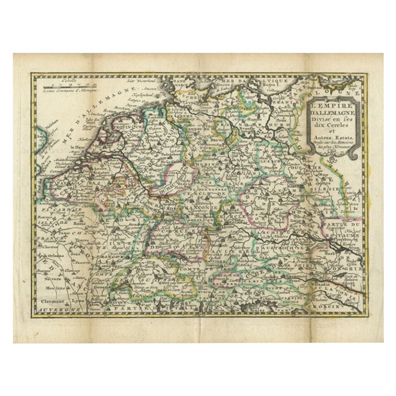
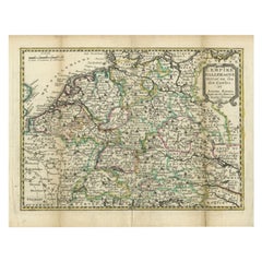
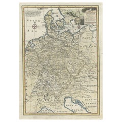
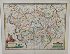
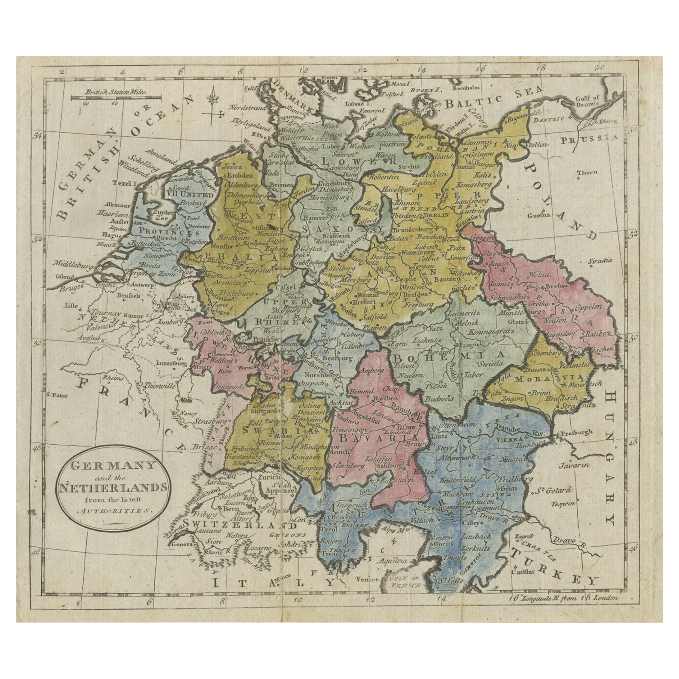
Antique Map of the German Empire by Le Rouge, 1743

$183.62
£135.84
€155VAT Included
CA$254.14
A$255.06
CHF 148.73
MX$3,100.78
NOK 1,709.09
SEK 1,757.71
DKK 1,181.78

About the Item

Antique map Germany titled 'L'Empire d'Allemagne dedie a Monseigneur Amelot (..)'. Antique map of the German Empire, with outline coloring. Artists and Engravers: Published by G.L. le Rouge, Paris. Condition: Good, general age-related toning. Please study image carefully. Date: 1743 Overall size: 29.5 x 23 cm. Image size: 27 x 20 cm. We sell original antique maps to collectors, historians, educators and interior decorators all over the world. Our collection includes a wide range of authentic antique maps from the 16th to the 20th centuries. Buying and collecting antique maps is a tradition that goes back hundreds of years. Antique maps have proved a richly rewarding investment over the past decade, thanks to a growing appreciation of their unique historical appeal. Today the decorative qualities of antique maps are widely recognized by interior designers who appreciate their beauty and design flexibility. Depending on the individual map, presentation, and context, a rare or antique map can be modern, traditional, abstract, figurative, serious or whimsical. We offer a wide range of authentic antique maps for any budget.
  • Dimensions:
    Height: 9.06 in (23 cm)Width: 11.62 in (29.5 cm)Depth: 0 in (0.01 mm)
  • Materials and Techniques:
  • Period:
  • Date of Manufacture:
    1743
  • Condition:
  • Seller Location:
    Langweer, NL
  • Reference Number:
    Seller: BG-094011stDibs: LU3054327795092

More From This Seller

View All
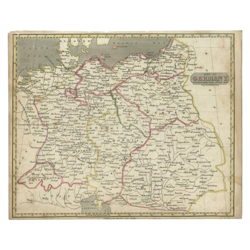
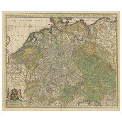
Antique Map of the German Empire by Keizer & de Lat, 1788

Antique Map of the German Empire by Keizer & de Lat, 1788

Located in Langweer, NL

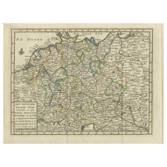
Antique map titled 'Het Duitsche Keizer-Ryk (..)'. Uncommon original antique map of the German Empire. This map originates from 'Nieuwe Natuur- Geschied- en Handelkundige Zak- en Rei...

Category

Antique Late 18th Century Maps

Materials

Paper

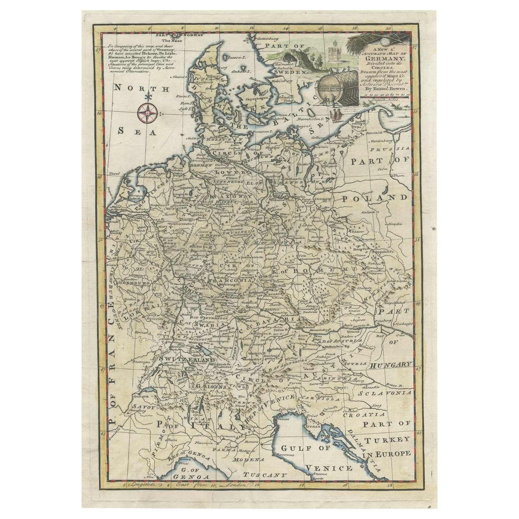
Antique Map of Germany During the Mid-18th Century, Published in 1747

Antique Map of Germany During the Mid-18th Century, Published in 1747

Located in Langweer, NL

Antique map Germany titled 'A New & Accurate Map of Germany'. It covers Germany during the mid-18th century, which included all of modern day Germany, Austria, Switzerland, Czech Rep...

Category

Antique 18th Century Maps

Materials

Paper

Antique Map of Germany by Clouet, 1787

Antique Map of Germany by Clouet, 1787

Located in Langweer, NL

Antique map titled 'L'Allemagne'. Antique map of Germany. Originates from 'Geographie moderne avec une introduction' by J.B.L. Clouet.

Category

Antique Late 18th Century French Maps

Materials

Paper

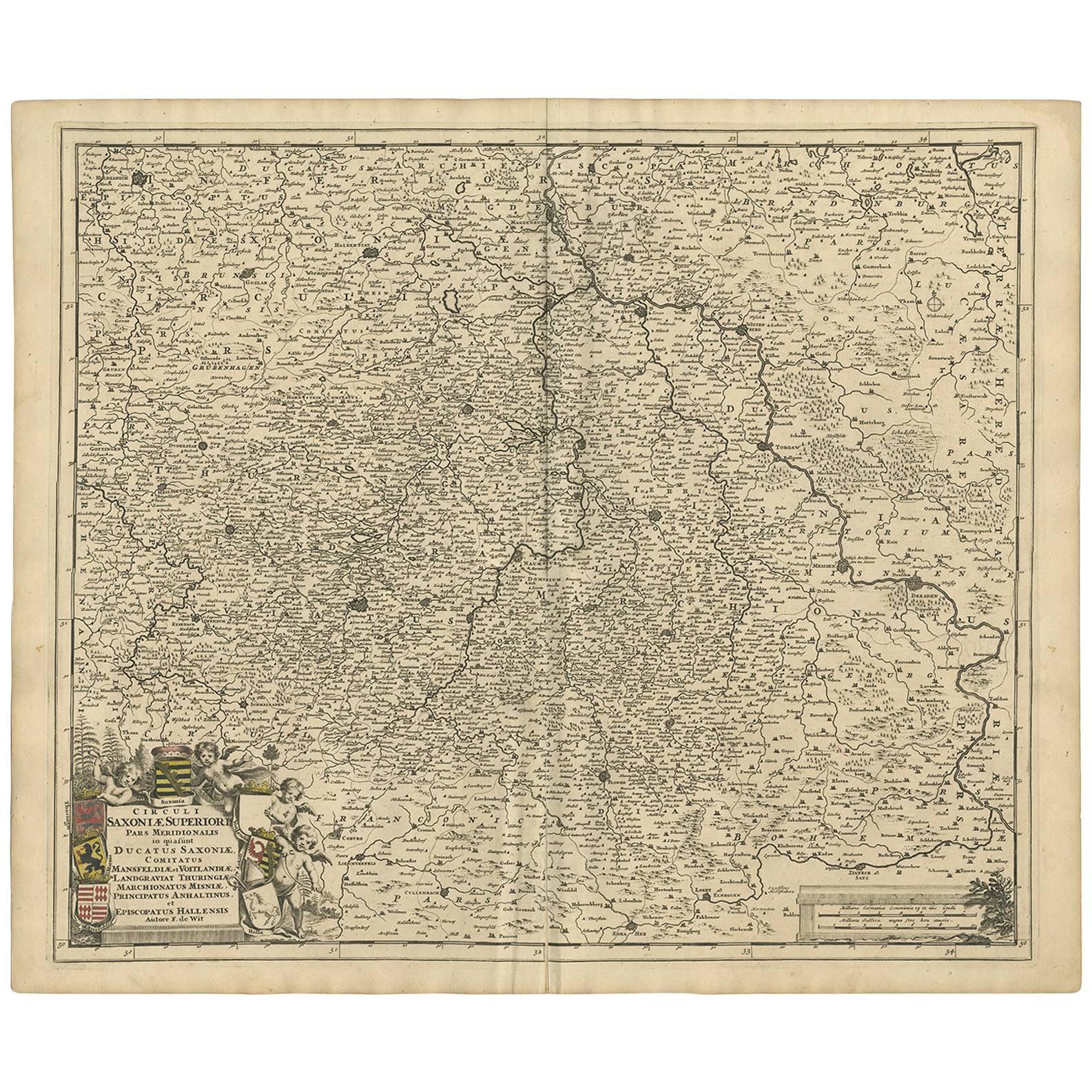
Antique Map of Germany and Central Europe, ca.1690

Antique Map of Germany and Central Europe, ca.1690

Located in Langweer, NL

Antique map titled 'S. Imperium Romano-Germanicum oder Teutschland mit seinen angrantzenden Königreichen und Provincien'. Original antique map of Germany...

Category

Antique Late 17th Century Dutch Maps

Materials

Paper

You May Also Like

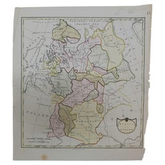
1790 Thomas Stackhouse Map, Entitled "Russia in Europe, " , Ric.a004

1790 Thomas Stackhouse Map, Entitled "Russia in Europe, " , Ric.a004

Located in Norton, MA

1790 Thomas Stackhouse map, entitled "Russia in Europe" Ric.a004 Stackhouse, Thomas Russia in Europe [map] London: T. Stackhouse, 1783. Map. Matted hand-colored copper engraving. Image size: 14.5 x 15.25 inches. Mat size: 22.75 x 23.75 inches. A beautiful example of this map of Eastern Europe...

Category

Antique 17th Century Unknown Maps

Materials

Paper

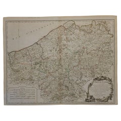
1752 Vaugoundy Map of Flanders : Belgium, France, and the Netherlands, Ric.a002

1752 Vaugoundy Map of Flanders : Belgium, France, and the Netherlands, Ric.a002

Located in Norton, MA

Large Vaugoundy Map of Flanders: Belgium, France, and the Netherlands Colored -1752 Ric.a002 Description: This is a 1752 Didier Robert de Vaugondy map of Flanders. The map de...

Category

Antique 17th Century Unknown Maps

Materials

Paper

1839 Map of Karte Des "Russischen Reiches in Europa Und Asien" Ric.R0013

1839 Map of Karte Des "Russischen Reiches in Europa Und Asien" Ric.R0013

Located in Norton, MA

1839 map of Karte Des "Russischen Reiches in Europa and Asien" Ric.r013 Map of the European and Asian parts of Russian Empire. Karte der Russischen Reiches in Europa und Asien...

Category

Antique 19th Century Unknown Maps

Materials

Paper

17th Century Hand Colored Map of the Liege Region in Belgium by Visscher

17th Century Hand Colored Map of the Liege Region in Belgium by Visscher

By Nicolaes Visscher II

Located in Alamo, CA

An original 17th century map entitled "Leodiensis Episcopatus in omnes Subjacentes Provincias distincté divisusVisscher, Leodiensis Episcopatus" by Nicolaes Visscher II, published in Amsterdam in 1688. The map is centered on Liege, Belgium, includes the area between Antwerp, Turnhout, Roermond, Cologne, Trier and Dinant. This attractive map is presented in a cream-colored mat measuring 30" wide x 27.5" high. There is a central fold, as issued. There is minimal spotting in the upper margin and a tiny spot in the right lower margin, which are under the mat. The map is otherwise in excellent condition. The Visscher family were one of the great cartographic families of the 17th century. Begun by Claes Jansz Visscher...

Category

Antique Late 17th Century Dutch Maps
Materials

Paper

18th Century Emanuel Bowen Map of County of York, c.1740

18th Century Emanuel Bowen Map of County of York, c.1740

By Emanuel Bowen

Located in Royal Tunbridge Wells, Kent

Antique 18th century British rare and original Emanuel Bowen (1694-1767) map of the County of York divided into its Ridings and subdivided into wapontakes, mounted in solid wood fram...

Category

Antique Early 18th Century British Maps

Materials

Paper