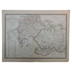
Antique Map of Germany by Thomas Kelly, London, circa 1830, with hand colouring
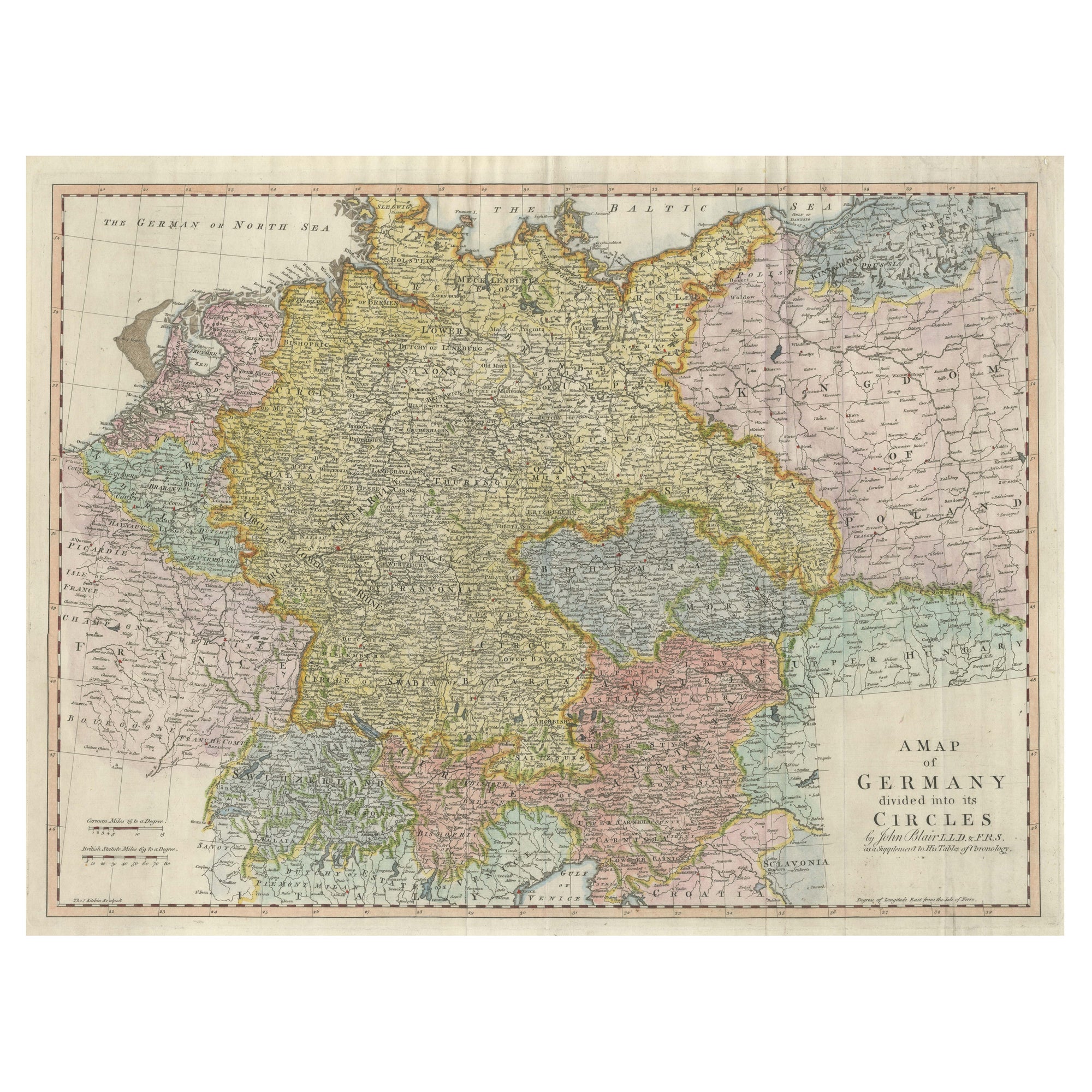
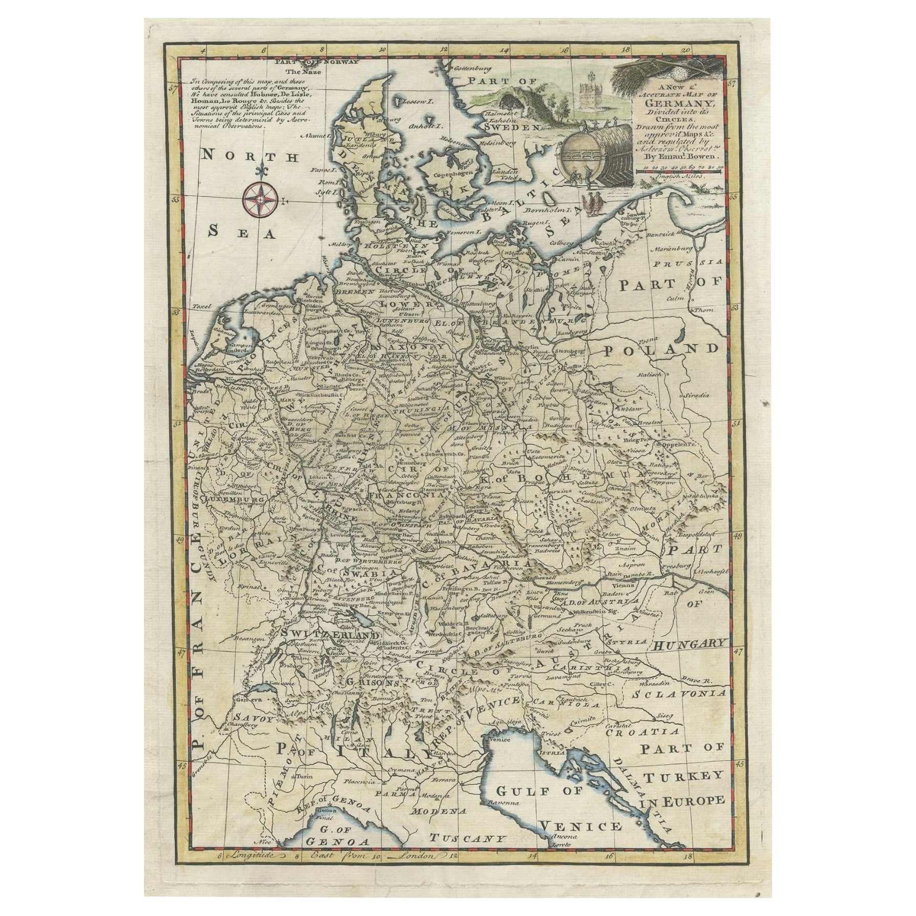
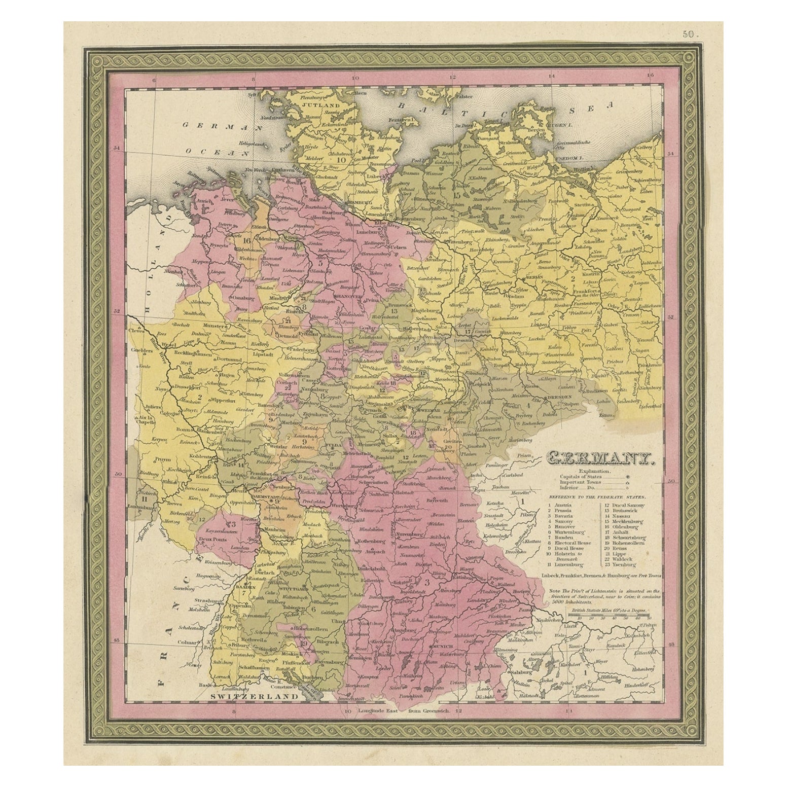
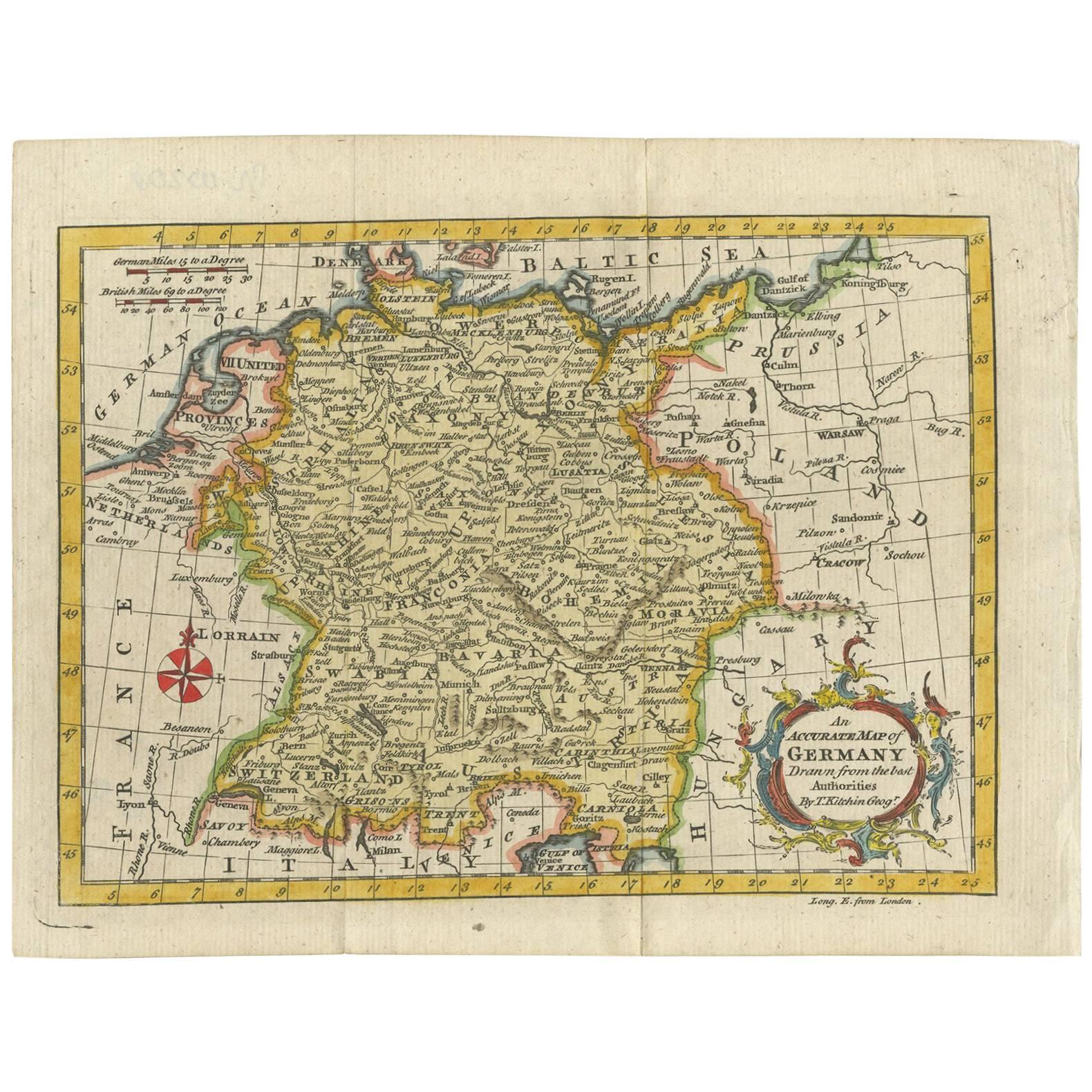
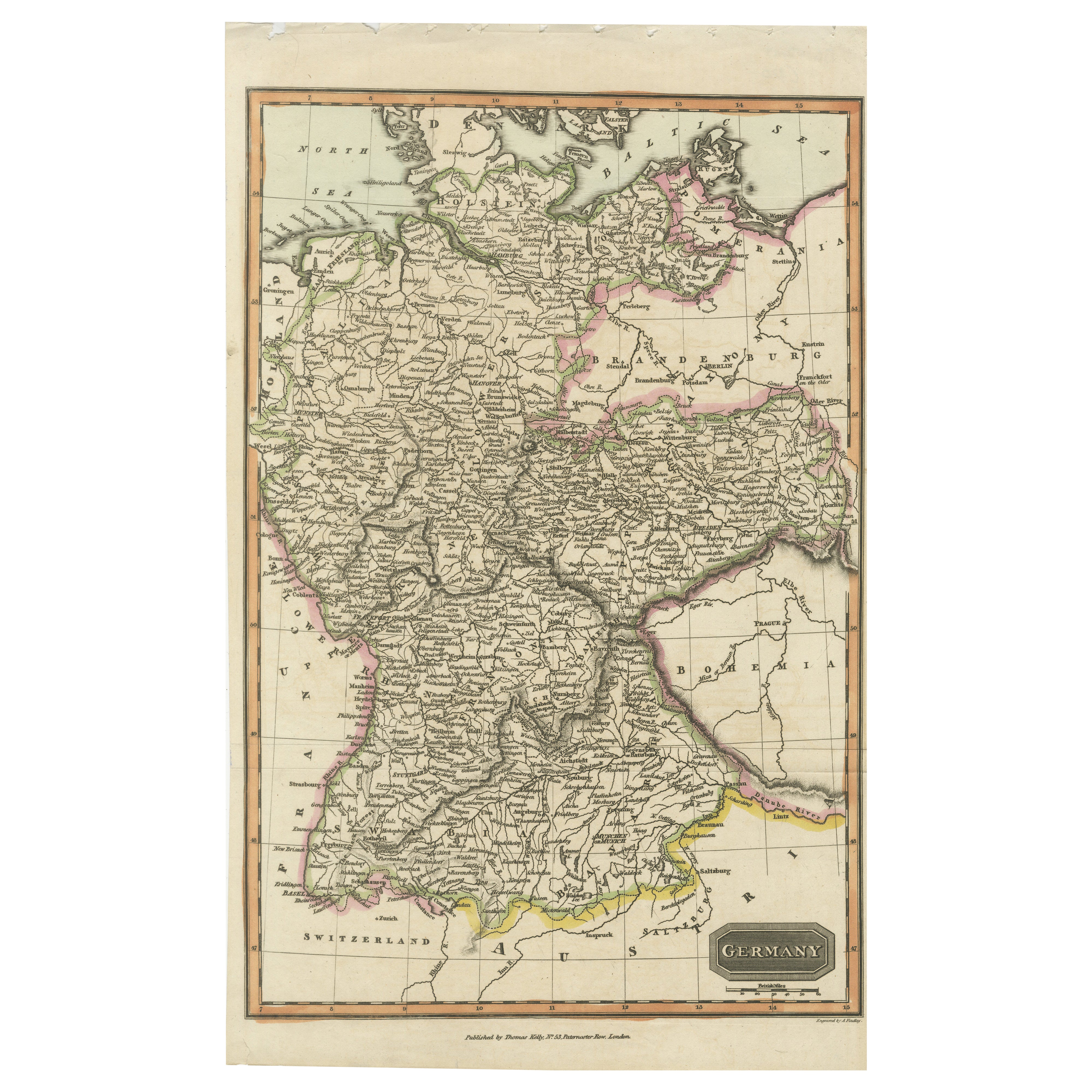
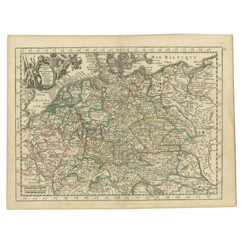
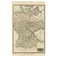
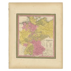
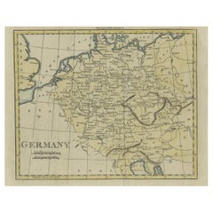
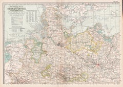
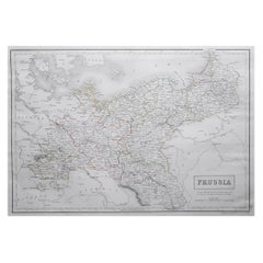
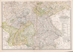
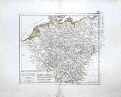
Finely engraved map of Germany titled 'Germany', published by Thomas Kelly at 17 Paternoster Row, London, circa 1830. This historical map outlines the German states, duchies, and surrounding regions including parts of Austria, Switzerland, France, Poland, and Bohemia. Borders are hand-coloured by region, and major rivers, mountain ranges, and cities such as Berlin, Hamburg, Frankfurt, and Munich are clearly marked. Engraved by H. Cooper.
This beautifully detailed copperplate engraving features original hand colouring and displays the political divisions of early 19th-century Germany, including Prussia, Bavaria, Saxony, and Württemberg, along with neighboring regions such as Austria, Switzerland, Bohemia, and parts of Poland and France. Major cities like Berlin, Munich, Hamburg, and Frankfurt are clearly marked, as well as rivers, mountain ranges, and regional borders. Engraved by H. Cooper.
A fine historical map ideal for collectors, interior decorators, or anyone with an interest in European history or cartography.
Technique and material: Copperplate engraving, original hand colouring
Condition report : Good condition. Strong impression with hand colour. Small chips and edge wear to upper margin, not affecting image. Light age toning and minor handling marks. Tight on the left and right margins.
Framing tip:
Use a neutral or antique white mat to highlight the engraved detail. A dark wood or classic gilt frame complements the historical aesthetic. UV-filtering glass recommended to protect the original colouring.
Keywords for SEO:
antique map, map of Germany, 1830s map, hand-colored map, Thomas Kelly map, old Germany map, Prussia map...
Category
Antique 1830s Maps