Want more images or videos?
Request additional images or videos from the seller
1 of 9

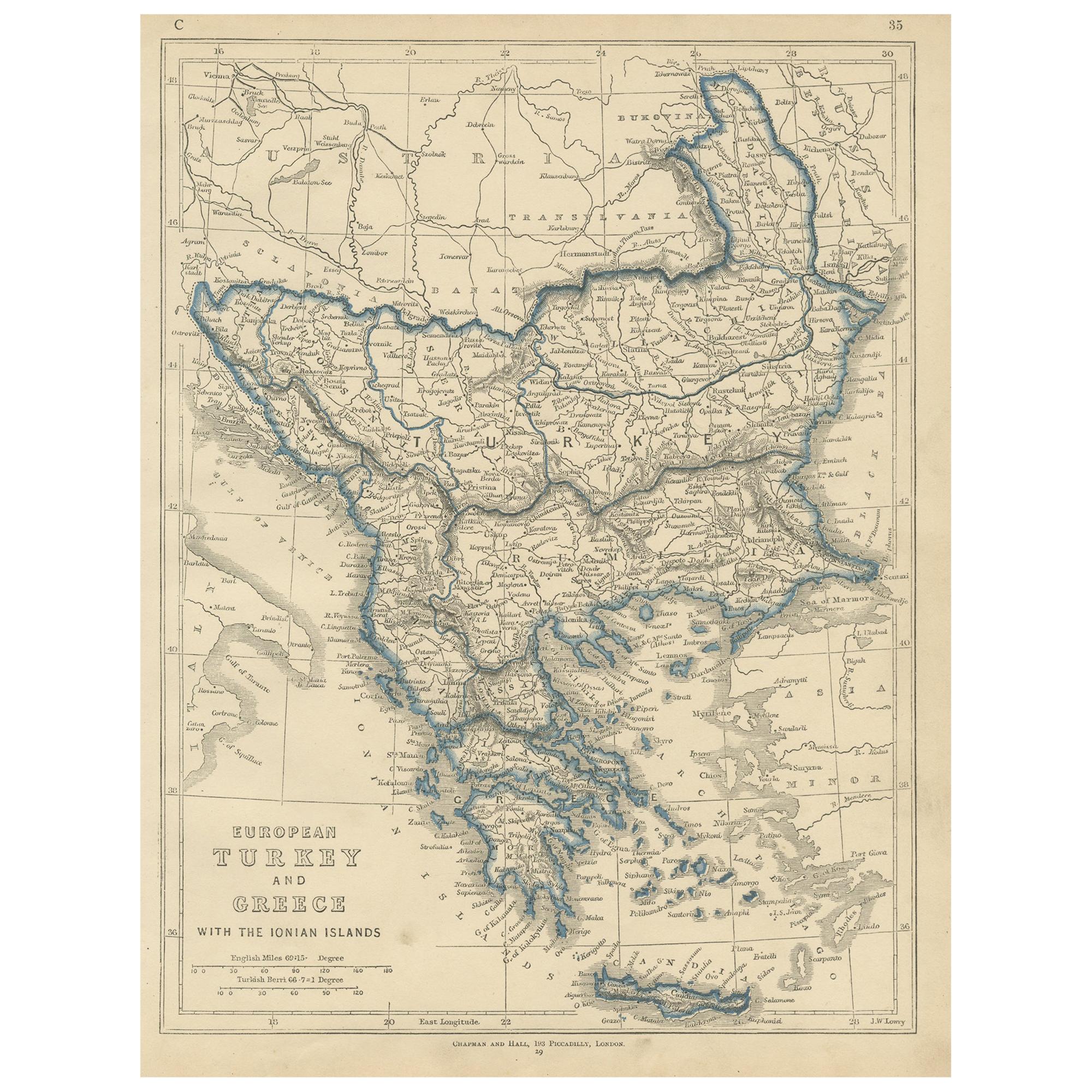
Antique Map of Northern Greece & Balkans – Macedonia, Thrace & Illyria, c.1818

$1,302.82
£964.26
€1,100VAT Included
CA$1,802.67
A$1,808.35
CHF 1,056.05
MX$22,017.16
NOK 12,126.50
SEK 12,488.41
DKK 8,386.68

About the Item

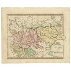
Antique Map of Northern Greece & Balkans – Macedonia, Thrace & Illyria, c.1818 Elegant antique map depicting Northern Greece and the central Balkans, covering Macedonia, Thrace, Illyria, Moesia, and the northern Aegean region, with the Black Sea (Pontus Euxinus) to the east and the Adriatic to the west. The map presents the region as understood in classical antiquity, showing Roman provinces, cities, rivers, mountain ranges, and coastlines engraved in fine detail and enhanced with subtle original outline color. The composition is broad and horizontally balanced, with layered mountain systems and river networks giving the sheet strong visual texture while maintaining a calm, architectural clarity. Latin place names, tribal regions, and Roman administrative divisions provide intellectual depth, making the map equally compelling as a historical document and as refined wall art. The map is based on the work of Jean-Baptiste Bourguignon d’Anville, whose reconstructions of the ancient world transformed Enlightenment cartography. D’Anville emphasized accuracy and proportion through critical study of classical sources, rejecting decorative speculation in favor of scholarly precision. This example is the English edition published in London by Laurie & Whittle, issued circa 1818 and bound in the atlas A Complete Body of Ancient Geography. Produced during the neoclassical period, the restrained engraving and soft parchment tone align seamlessly with contemporary interior design. The neutral palette, crisp line work, and generous margins make this map particularly effective as wall art in libraries, studies, boardrooms, and hospitality interiors. It pairs beautifully with companion sheets of Southern Greece, Asia Minor, and the Roman East from the same series. A timeless and highly decorative representation of the northern Greek and Balkan world, combining classical scholarship with strong interior presence. Condition report: Good antique condition with light, even toning and gentle age-related wear consistent with age. Original outline color remains clear and balanced. Central fold as issued. No major tears, losses, or repairs observed. Framing tips: Best presented in a dark walnut, blackened oak, or ebonized frame with a wide ivory or soft parchment mat. Museum or UV glass recommended. Particularly effective when displayed as part of a multi-sheet classical or Balkan grouping. Technique: Engraving with original outline color Maker: Jean-Baptiste Bourguignon d’Anville (after), published by Laurie & Whittle, London, circa 1818 Keywords: antique greece map, northern greece map, ancient macedonia map, ancient thrace map, illyria antique map, balkans antique map, roman balkans map, græciæ pars septentrionalis, antique engraved map, d’anville map, laurie and whittle, 19th century map, classical antiquity map, roman provinces map, aegean antique map, black sea antique map, pontus euxinus map, neoclassical wall art, antique map wall decor, interior designer wall art, library wall decor, study wall art, museum style decor, parchment toned art, neutral wall art, scholarly antique map, collectible antique map, framed antique map, enlightenment cartography, british atlas map, elegant antique print, statement wall art
  • Dimensions:
    Height: 21.42 in (54.4 cm)Width: 29.77 in (75.6 cm)Depth: 0.01 in (0.2 mm)
  • Materials and Techniques:
    Paper,Engraved
  • Place of Origin:
  • Period:
  • Date of Manufacture:
    1818
  • Condition:
    Good antique condition with light, even toning and gentle age-related wear consistent with age. Original outline color remains clear and balanced. Central fold as issued. No major tears, losses, or repairs observed.
  • Seller Location:
    Langweer, NL
  • Reference Number:
    Seller: BG-14227-4-111stDibs: LU3054348637122

More From This Seller

View All
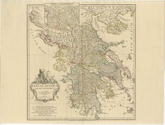
Antique Map of Ancient Greece – Classical Balkans & Aegean, Engraving c.1818

Antique Map of Ancient Greece – Classical Balkans & Aegean, Engraving c.1818

Located in Langweer, NL

Antique Map of Ancient Greece – Classical Balkans & Aegean, Engraving c.1818 Elegant antique map depicting ancient Greece and the classical Balkans, extending from Epirus and Macedo...

Category

Antique Early 19th Century British Maps

Materials

Paper

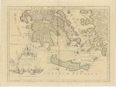
Antique Map of Southern Greece & Aegean – Peloponnese, Islands & Crete, c.1818

Antique Map of Southern Greece & Aegean – Peloponnese, Islands & Crete, c.1818

Located in Langweer, NL

Antique Map of Southern Greece & Aegean – Peloponnese, Islands & Crete, c.1818 Elegant antique map depicting southern Greece and the Aegean world, covering the Peloponnese, Attica, Boeotia, Euboea, Crete, and the Cyclades, Sporades, and Dodecanese islands. The map presents the Greek world as understood in classical antiquity, with cities, regions, rivers, coastlines, and islands engraved in fine detail and highlighted with subtle original outline color. The composition is visually rich and expansive, with the fragmented geography of the Aegean Sea creating a rhythmic and highly decorative pattern across the sheet. The balance between mainland Greece and the surrounding islands gives the map strong visual movement while retaining the calm, architectural clarity characteristic of d’Anville’s work. The map is based on the work of Jean-Baptiste Bourguignon d’Anville, whose reconstructions of the ancient world set the standard for Enlightenment historical cartography. Through critical study of classical sources rather than decorative tradition, d’Anville produced maps prized for accuracy, proportion, and enduring scholarly authority. This example is the English edition published in London by Laurie & Whittle, issued circa 1818 and bound in the atlas A Complete Body of Ancient Geography. Produced during the neoclassical period, the restrained engraving and soft parchment palette align naturally with refined modern interiors. The neutral tones, crisp line work, and wide horizontal format make this map particularly effective as wall art in libraries, studies, hallways, and hospitality interiors. It pairs beautifully with the companion Northern Greece sheet to form a complete and visually balanced presentation of the ancient Greek world. A timeless and highly decorative representation of classical southern Greece and the Aegean, combining intellectual depth with strong interior presence. Condition report: Good antique condition with light, even toning and gentle age-related wear consistent with age. Original outline color remains clear and balanced. Central fold as issued. No major tears, losses, or repairs observed. Framing tips: Best presented in a dark walnut, blackened oak, or ebonized frame with a wide ivory or soft parchment mat. Museum or UV glass recommended. Especially striking when framed as a matched pair with the Northern Greece map. Technique: Engraving with original outline color Maker: Jean-Baptiste Bourguignon d’Anville (after), published by Laurie & Whittle, London, circa 1818 --- Keywords: antique greece map, southern greece map, ancient greece map, peloponnese antique map, aegean sea antique map, crete antique map, cyclades antique map, sporades antique map, dodecanese antique map, graeciae pars meridionalis, antique engraved map, d’anville map, laurie and whittle, 19th century map, classical antiquity map, roman greece map, aegean islands wall art, neoclassical wall art, antique map wall decor, interior designer wall art, library wall decor, study wall art, museum style decor, parchment toned art, neutral wall art, scholarly antique map, collectible antique map, framed antique map...

Category

Antique Early 19th Century British Maps
Materials

Paper

Ancient Macedonia & Thrace Map — Classical Greece, Wilkinson London 1819

Ancient Macedonia & Thrace Map — Classical Greece, Wilkinson London 1819

Located in Langweer, NL

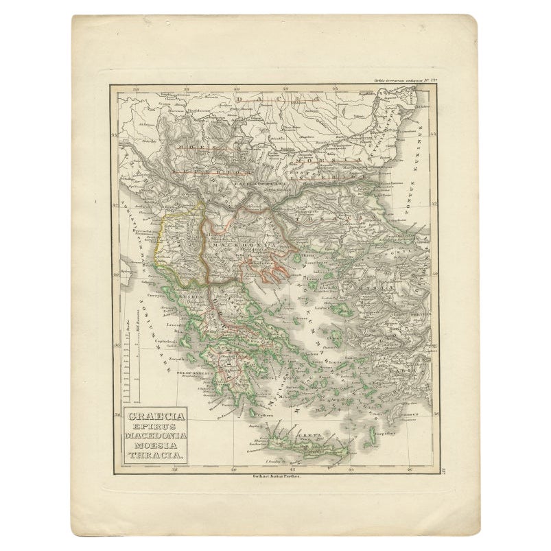
Ancient Macedonia & Thrace Map — Classical Greece, Wilkinson London 1819 This finely engraved and delicately hand-colored map depicts the ancient regions of northern Greece and the Balkans, including Macedonia, Thessaly, Epirus, and Thrace, as understood through classical geography. Published in London in 1819 by the English cartographer and publisher Robert Wilkinson, the map forms part of a celebrated series illustrating the geography of antiquity inspired by classical sources and Enlightenment scholarship. The composition presents a scholarly reconstruction of the ancient world, mapping territories associated with Alexander the Great and the wider Hellenistic sphere. Macedonia occupies the central focus, surrounded by historically significant regions such as Thessalia, Epirus, Illyria, and Thracia. Ancient cities, rivers, and mountain ranges are carefully engraved in dense yet elegant detail, reflecting early nineteenth-century academic interest in classical history, archaeology, and ancient travel literature. Fine original hand coloring distinguishes provincial boundaries, creating a harmonious palette of soft greens, yellows, and rose tones that enhance both readability and decorative appeal. The engraving balances scientific clarity with aesthetic refinement, typical of Wilkinson’s atlases, which were designed for educated audiences fascinated by classical civilization during the neoclassical period. Geographically, the map extends from the Adriatic coast across the northern Aegean, including important historical locations such as Thessalonica, Philippi, and the mountainous interior regions that shaped ancient political and military history. The clear copperplate engraving and restrained typography give the sheet an elegant academic character while remaining highly decorative for modern interiors. Maps from Wilkinson’s classical atlas are increasingly appreciated today for their combination of historical scholarship and interior design appeal. Their soft coloration, balanced layout, and intellectual subject matter make them especially suitable for libraries, studies, and refined contemporary interiors seeking a subtle classical reference. A highly attractive example appealing equally to collectors of classical antiquity, antique cartography, and designers looking for sophisticated historical wall decoration. Condition: Good antique condition overall. Light age-related toning and scattered spotting consistent with age. Minor edge wear and faint handling marks confined mainly to the margins. Plate mark visible. Framing tips: Particularly effective in a dark walnut or ebonized frame with a warm ivory or museum-white mat. A wide mat enhances the calm classical composition and allows the delicate hand coloring to stand out beautifully in both traditional and modern interiors. Technique: Copperplate engraving with original hand color Maker: Robert Wilkinson, London, 1819 Keywords: Macedonia, Thracia, Thessalia, Epirus, Illyria, Graecia Septentrionalis, Aegean Sea, Adriatic Sea, Thessalonica, Philippi, Pella, Mount Olympus, Hellespont, Propontis, Byzantium region, Northern Greece, Balkan Peninsula, Classical Greece, Ancient Geography, Alexander the Great, Hellenistic World, Roman Provinces, Antique Map Greece...

Category

Antique Early 19th Century British Maps
Materials

Paper

Old Engraved Map of Hungary, European Balkan Countries, Greece and Crete, 1806

Old Engraved Map of Hungary, European Balkan Countries, Greece and Crete, 1806

Located in Langweer, NL

Antique map titled 'Hongrie, Turquie Europe'. Decorative map of Hungary, southeast European countries in the Balkan peninsula and Greece by Robert de Vaugondy, revised and publis...

Category

Antique 19th Century Maps

Materials

Paper

Antique Map of Asia Minor & the Levant – Anatolia, Syria & Cyprus, c.1818

Antique Map of Asia Minor & the Levant – Anatolia, Syria & Cyprus, c.1818

Located in Langweer, NL

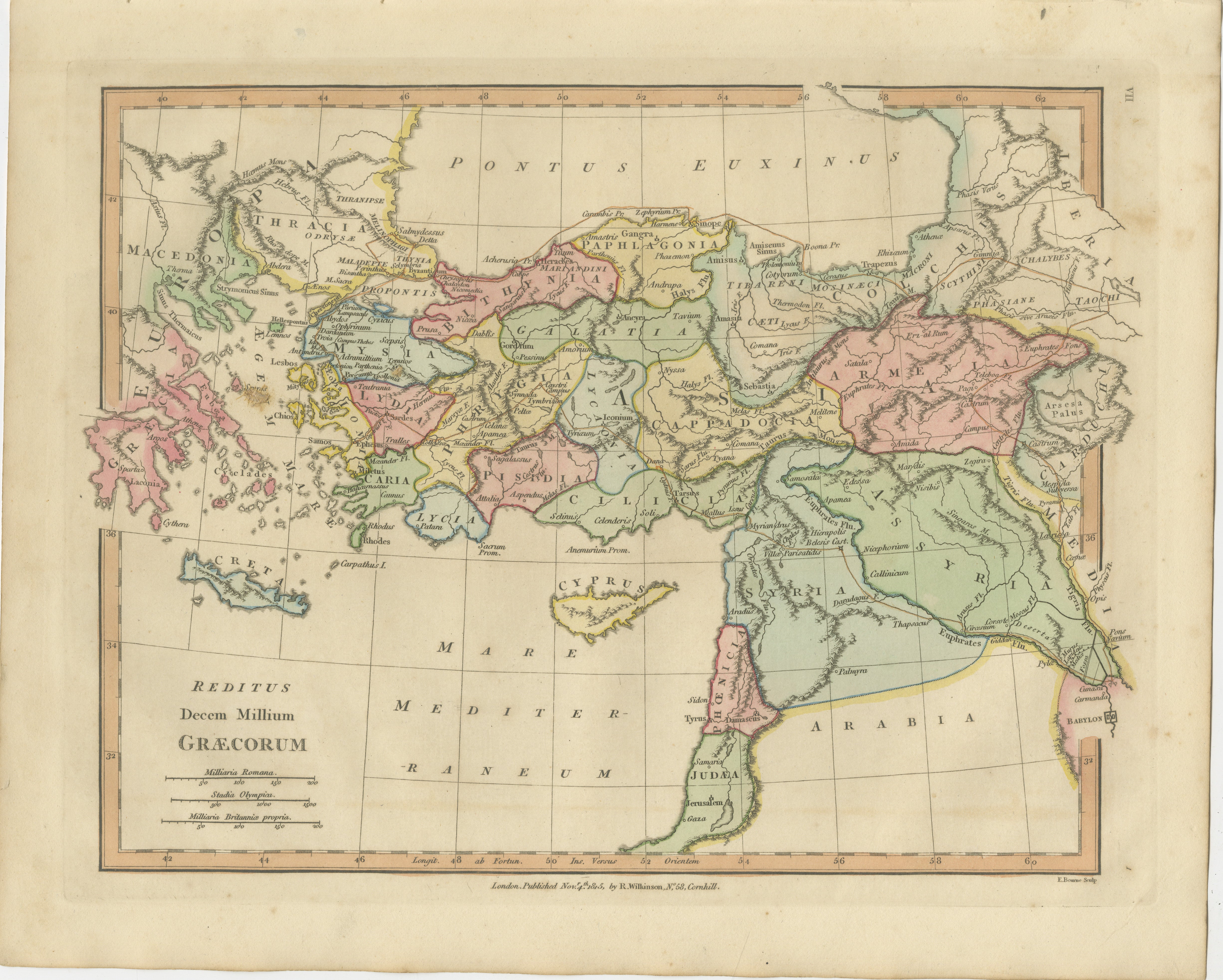
Antique Map of Asia Minor & the Levant – Anatolia, Syria & Cyprus, c.1818 Elegant antique map depicting Asia Minor and the Eastern Mediterranean, covering Anatolia (modern Turkey), the Aegean coast, Syria, Mesopotamia, Armenia, and Cyprus. The map presents the region as understood in classical antiquity, with Roman and Greek cities, provinces, rivers, and coastlines engraved in fine detail and enhanced with subtle original outline color. The composition has a strong horizontal sweep, with the Black Sea (Pontus Euxinus) to the north and the Mediterranean (Mare Internum) to the south, creating a balanced and architectural visual rhythm. Classical Latin place names and ancient regional divisions lend scholarly depth, while the restrained engraving and calm parchment tone give the sheet a refined, contemporary presence ideal for interior display. The map is based on the work of Jean-Baptiste Bourguignon d’Anville, whose reconstructions of the ancient world defined Enlightenment historical cartography. D’Anville rejected decorative speculation and relied instead on critical comparison of classical texts, itineraries, and geographic evidence, producing maps prized for accuracy, clarity, and proportion. This example is the English edition published in London by Laurie & Whittle, issued circa 1818 and bound in the atlas A Complete Body of Ancient Geography. Produced during the neoclassical period, the map reflects early nineteenth-century taste for order, balance, and historical authority. The neutral palette, crisp engraving, and wide margins make this map particularly effective as wall art in libraries, studies, hallways, and hospitality interiors. It pairs beautifully with companion sheets of Ancient Greece, the Roman East, and the Ancient World from the same series. A timeless and highly decorative representation of the classical Eastern Mediterranean, combining intellectual depth with strong interior presence. Condition report: Good antique condition with light, even toning and gentle age-related wear. Original outline color remains clear and balanced. Central fold as issued. No major tears, losses, or repairs observed. Framing tips: Best presented in a dark walnut, blackened oak, or ebonized frame with a wide ivory or soft parchment mat. Museum or UV glass recommended. Particularly effective when hung horizontally or paired with other classical maps from the series. Technique: Engraving with original outline color Maker: Jean-Baptiste Bourguignon d’Anville (after), published by Laurie & Whittle, London, circa 1818 Keywords: antique asia minor map, anatolia antique map, ancient turkey map, ancient syria map, levant antique map, roman asia map, classical anatolia map, antique engraved map, d’anville map, laurie and whittle, 19th century map, eastern mediterranean map, black sea antique map, pontus euxinus map, cyprus antique map...

Category

Antique Early 19th Century British Maps
Materials

Paper

You May Also Like

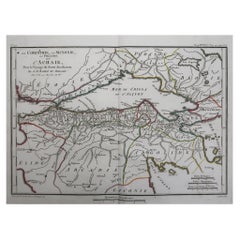
Original Antique Map of Ancient Greece, Achaia, Corinth, 1786

Original Antique Map of Ancient Greece, Achaia, Corinth, 1786

Located in St Annes, Lancashire

Great map of Ancient Greece. Showing the region of Thessaly, including Mount Olympus Drawn by J.D. Barbie Du Bocage Copper plate engraving by P.F Tardieu Original hand color...

Category

Antique 1780s French Other Maps

Materials

Paper

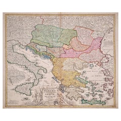
Hand-Colored 18th Century Homann Map of the Danube, Italy, Greece, Croatia

Hand-Colored 18th Century Homann Map of the Danube, Italy, Greece, Croatia

By Johann Baptist Homann

Located in Alamo, CA

"Fluviorum in Europa principis Danubii" is a hand colored map of the region about the Danube river created by Johann Baptist Homann (1663-1724) in his 'Atlas Novus Terrarum', publish...

Category

Antique Early 18th Century German Maps

Materials

Paper

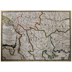
18th Century Map of the Southern Balkans by Giovanni Maria Cassini

18th Century Map of the Southern Balkans by Giovanni Maria Cassini

By Giovanni Maria Cassini

Located in Hamilton, Ontario

18th century map by Italian engraver Giovanni Maria Cassini (Italy 1745-1824). Map of the Southern Balkans: Rome. Hand colored and copper engraved print done in the year 1788. It in...

Category

Antique 18th Century Italian Maps

Materials

Paper

Map of Greece - Etching on Paper 19th Century

Map of Greece - Etching on Paper 19th Century

Located in Roma, IT

Image dimensions: 22.2 x 27.8 cm. Grecia is an interesting hand-colored etching on paper, realized by an anonymous artist in the first half of the XIX century. With the inscriptions in Italian, this original print describes the geography of Greece with the great charisma of the antique maps. In very good conditions, except for a usual yellowing of the paper at the edges and minor defects and signs of the time, and some light yellow strips...

Category

19th Century Modern Figurative Prints

Materials

Etching