Want more images or videos?
Request additional images or videos from the seller
1 of 5

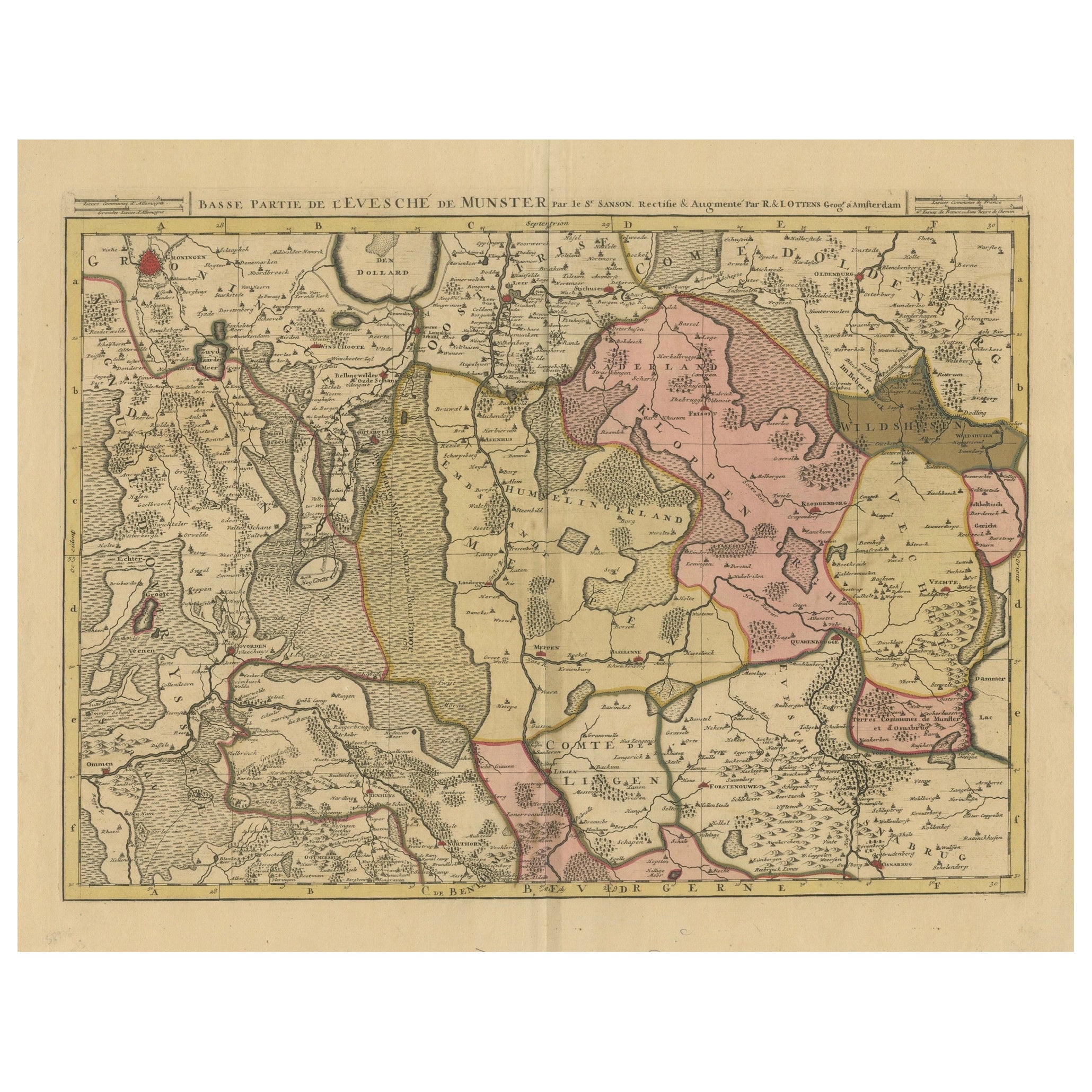
Antique Map of the Region of Elbogen & Eger, Czech Republic & Hungary, 1742

$511.65
$639.5720% Off
£378.69
£473.3620% Off
€432VAT Included
€54020% Off
CA$707.96
CA$884.9520% Off
A$710.19
A$887.7320% Off
CHF 414.74
CHF 518.4320% Off
MX$8,646.74
MX$10,808.4320% Off
NOK 4,762.41
NOK 5,953.0120% Off
SEK 4,904.54
SEK 6,130.6720% Off
DKK 3,293.68
DKK 4,117.1020% Off

About the Item

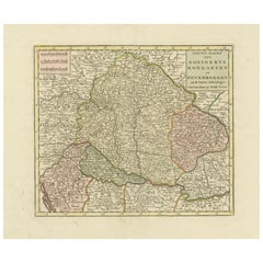
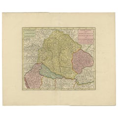
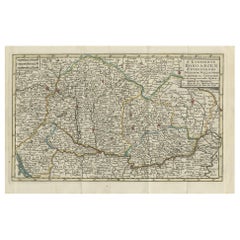
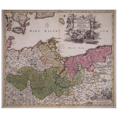
Antique map titled 'Repraesentatio Geographica Circuli Egerani, nec non Elnbogensis : in quo simul viae Egeranae in Thermas Carolinas distincta delineatio conspicitur (..)'. Original antique map of the region of Elbogen and Eger, Czech Republic/Hungary. Published 1742. Artists and Engravers: Following the long period of Dutch domination, the Homann family became the most important map publishers in Germany in the eighteenth century, the business being founded by J.B. Homann in Nuremberg about the year 1702. Soon after publishing his first atlas in 1707 he became a member of the Berlin academy of Sciences and in 1715 he was appointed Geographer to the Emperor. After the founder's death in 1724, the firm was continued under the direction of his son until 1730 and was then bequeathed to his heirs on the condition that it trades under the name of Homann Heirs. The firm remained in being until the next century and had a wide influence on map publishing in Germany. Apart from the atlases the firm published a very large number of individual maps. The Homanns produced a Neuer Atlas in 1714, a Grosser Atlas in 1737, and an Atlas Maior with about 300 maps in 1780. They also issued a special Atlas of Germany with full sized plans of principal cities, school atlases and an Atlas of Silesia in 1750 with 20 maps.
  • Dimensions:
    Height: 20.67 in (52.5 cm)Width: 23.04 in (58.5 cm)Depth: 0 in (0.02 mm)
  • Materials and Techniques:
  • Period:
    1740-1749
  • Date of Manufacture:
    1742
  • Condition:
    Wear consistent with age and use. Condition: Good, repair on folding line. Some marginal tears, please study image carefully.
  • Seller Location:
    Langweer, NL
  • Reference Number:
    Seller: BG-004211stDibs: LU3054327262942

More From This Seller

View All
Antique Map of the Kingdom of Hungary and Transylvania, circa 1780

Antique Map of the Kingdom of Hungary and Transylvania, circa 1780

Located in Langweer, NL

Antique Map of the Kingdom of Hungary and Surrounding Regions by S. Robert, circa 1780 This beautifully engraved map titled Royaume de Hongrie, Principauté de Transilvanie, Esclavon...

Category

Antique Late 18th Century French Maps

Materials

Paper

Antique Map of the Nassau Region in Western Germany, ca.1720

Antique Map of the Nassau Region in Western Germany, ca.1720

Located in Langweer, NL

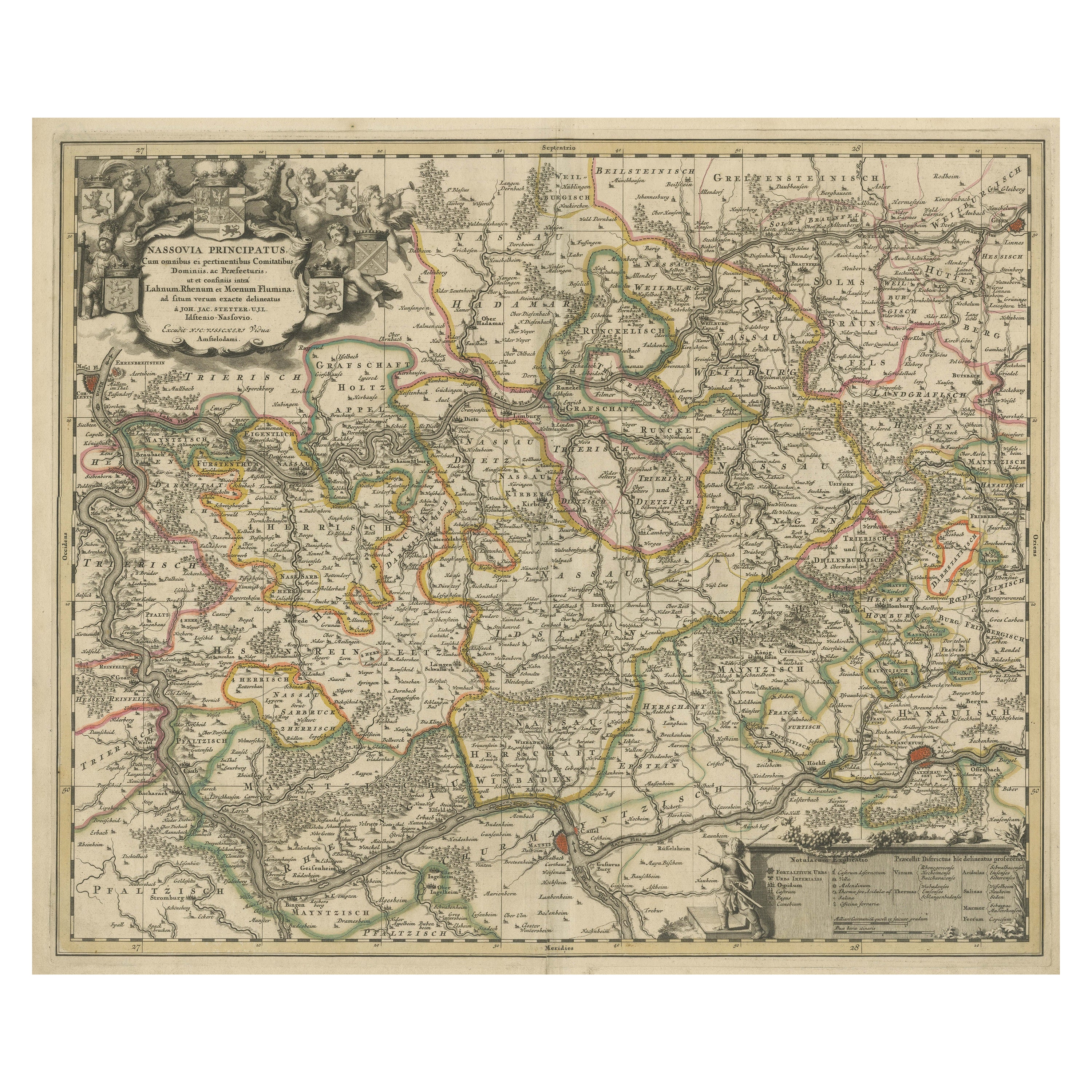
Antique map titled 'Nassovia Principatus (..)'. Detailed map of the Nassau region in western Germany between Koblenz, Hadamar, Giessen, Frankfurt and Mainz. The map is filled with in...

Category

Antique Early 18th Century Dutch Maps

Materials

Paper

Antique Map of Bohemia in the Present-Day Chech Repubic, 1730

Antique Map of Bohemia in the Present-Day Chech Repubic, 1730

Located in Langweer, NL

Antique map titled 'Nieuwe Kaart van t Koninkryk Bohemen t Hertogdom Silesien markgraafschap Moravien (Moravia) en Lusatien' (Lusatia). Map of Bohemia (Czech Republic) with the surro...

Category

Antique 18th Century Dutch Maps

Materials

Paper

Detailed Antique Map of Hungary and Transylvania by Tirion, 1753

Detailed Antique Map of Hungary and Transylvania by Tirion, 1753

Located in Langweer, NL

Title: Nieuwe Kaart van’t Koninkryk Hongaryen en Zevenbergen by Isaak Tirion, 1753 – Antique Map of Hungary and Transylvania Description: This is an antique 1753 map titled *Nieuwe Kaart van’t Koninkryk Hongaryen en Zevenbergen*, created by the notable Dutch cartographer and publisher Isaak Tirion. The map showcases the Kingdom of Hungary and the region of Transylvania (referred to as "Zevenbergen") as they appeared in the mid-18th century. Tirion’s maps are well-known for their clarity, precision, and attention to geographic detail, making them highly sought after by collectors of antique maps. This map provides a detailed view of Hungary and Transylvania, including borders, towns, cities, rivers, and mountain ranges. It was created using the latest discoveries and updates of the time and reflects the political landscape of the region, which was part of the Habsburg Empire during a period of territorial changes and consolidations. The map’s borders are highlighted with color to distinguish different regions, and significant cities such as Buda, Pest, and Debrecen are clearly labeled. Isaak Tirion was one of the most prominent Dutch publishers of the 18th century, particularly known for his *Nieuwe en Beknopte Hand-Atlas* (New and Concise Hand Atlas) series, which included a wide range of maps of Europe and beyond. His works were appreciated for their cartographic accuracy and artistic quality. This map is a valuable piece for collectors interested in 18th-century European maps, particularly those that highlight Central Europe, Hungary, Transylvania, and the Habsburg Empire. It is a fine example of the craftsmanship of Isaak Tirion and offers insight into the historical geography of the region. Condition: Excellent for its age, with finely preserved hand-coloring and wide margins. Slight edge wear typical of maps from this period. Effective keywords that may help attract collectors or enthusiasts interested in historical maps of Hungary, Transylvania, and Central Europe: - Antique map of Hungary - Historical map of Transylvania - 18th-century map of Central Europe - Habsburg Empire map - Isaak Tirion map - Nieuwe Kaart van’t Koninkryk Hongaryen en Zevenbergen - Kingdom of Hungary map...

Category

Antique 1750s Maps
Materials

Paper

Antique Map of Hungary and Transylvania by Isaak Tirion, Amsterdam c.1740

Antique Map of Hungary and Transylvania by Isaak Tirion, Amsterdam c.1740

Located in Langweer, NL

Poland Map 1740s – Nieuwe Kaart van het Koninryk Poolen by Isaak Tirion This finely engraved and attractively hand-colored map of the Kingdom of Poland was published by Isaak Tirion...

Category

Antique Mid-18th Century Dutch Maps

Materials

Paper

Antique Map of the Kingdom of Hungary by Keizer & de Lat, 1788

Antique Map of the Kingdom of Hungary by Keizer & de Lat, 1788

Located in Langweer, NL

Antique map titled 't Koninkryk Hongarien (..)'. Uncommon original antique map of the Kingdom of Hungary. This map originates from 'Nieuwe Natuur- Geschied- en Handelkundige Zak- en ...

Category

Antique Late 18th Century Maps

Materials

Paper

You May Also Like

18th Century Hand-Colored Homann Map of Germany, Including Frankfurt and Berlin

18th Century Hand-Colored Homann Map of Germany, Including Frankfurt and Berlin

By Johann Baptist Homann

Located in Alamo, CA

An 18th century hand-colored map entitled "Tabula Marchionatus Brandenburgici et Ducatus Pomeraniae quae sunt Pars Septentrionalis Circuli Saxoniae Superioris" by Johann Baptist Homa...

Category

Antique Early 18th Century German Maps

Materials

Paper

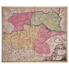
Hand Colored 18th Century Homann Map of Austria Including Vienna and the Danube

Hand Colored 18th Century Homann Map of Austria Including Vienna and the Danube

By Johann Baptist Homann

Located in Alamo, CA

"Archiducatus Austriae inferioris" is a hand colored map of Austria created by Johann Baptist Homann (1663-1724) and published in Nuremberg, Germany in 1728 shortly after his death. ...

Category

Antique Early 18th Century German Maps

Materials

Paper

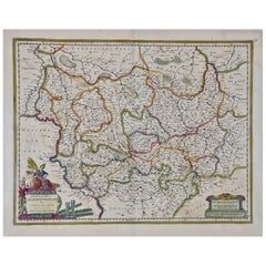
17th Century Hand-Colored Map of a Region in West Germany by Janssonius

17th Century Hand-Colored Map of a Region in West Germany by Janssonius

By Johannes Janssonius

Located in Alamo, CA

This attractive highly detailed 17th century original hand-colored map is entitled "Archiepiscopatus Maghdeburgensis et Anhaltinus Ducatus cum terris adjacentibus". It was published ...

Category

Antique Mid-17th Century Dutch Maps

Materials

Paper

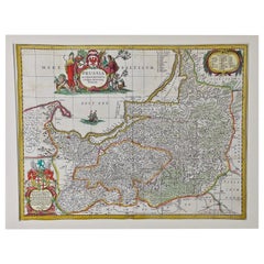
Prussia, Poland, N. Germany, Etc: A Hand-colored 17th Century Map by Janssonius

Prussia, Poland, N. Germany, Etc: A Hand-colored 17th Century Map by Janssonius

By Johannes Janssonius

Located in Alamo, CA

This is an attractive hand-colored copperplate engraved 17th century map of Prussia entitled "Prussia Accurate Descripta a Gasparo Henneberg Erlichensi", published in Amsterdam by Joannes Janssonius in 1664. This very detailed map from the golden age of Dutch cartography includes present-day Poland, Latvia, Lithuania, Estonia and portions of Germany. This highly detailed map is embellished by three ornate pink, red, mint green and gold...

Category

Antique Mid-17th Century Dutch Maps

Materials

Paper

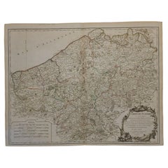
1752 Vaugoundy Map of Flanders : Belgium, France, and the Netherlands, Ric.a002

1752 Vaugoundy Map of Flanders : Belgium, France, and the Netherlands, Ric.a002

Located in Norton, MA

Large Vaugoundy Map of Flanders: Belgium, France, and the Netherlands Colored -1752 Ric.a002 Description: This is a 1752 Didier Robert de Vaugondy map of Flanders. The map de...

Category

Antique 17th Century Unknown Maps

Materials

Paper

Original Antique Map of Hungary, Arrowsmith, 1820

Original Antique Map of Hungary, Arrowsmith, 1820

Located in St Annes, Lancashire

Great map of Hungary Drawn under the direction of Arrowsmith. Copper-plate engraving. Published by Longman, Hurst, Rees, Orme and Brown, 1820 Unframed.

Category

Antique 1820s English Maps

Materials

Paper